Last Map Update: Sun, Nov 1, 2026 at 3:50:16 am CST

|
||||||||||||||||||||||||||||||||||||||||||||||||||||||||||||||||||||||||||||||||||||||||||||||||||||||||||||||||||||||||
|
Text Product Selector (Selected product opens in current window)
|
|
 |
 |
 |
 |
 |
 |
| Beach | Tropical | Marine Weather | Fire Weather | Hazards Outlook | Rivers-Flooding |
 |
 |
 |
 |
 |
 |
| Observations | Forecasters Discussion | Satellite | Preparedness | Weather Radio | Spanish Weather Radio |
 |
 |
 |
 |
 |
 |
| Outreach | Newsletter | Drought | Rip Current Safety | Flood Safety | Skywarn |
 |
 |
 |
 |
 |
 |
| Event Summaries | Seasonal Outlooks | Storm Data | Research | User Guides | Severe Weather Drill |





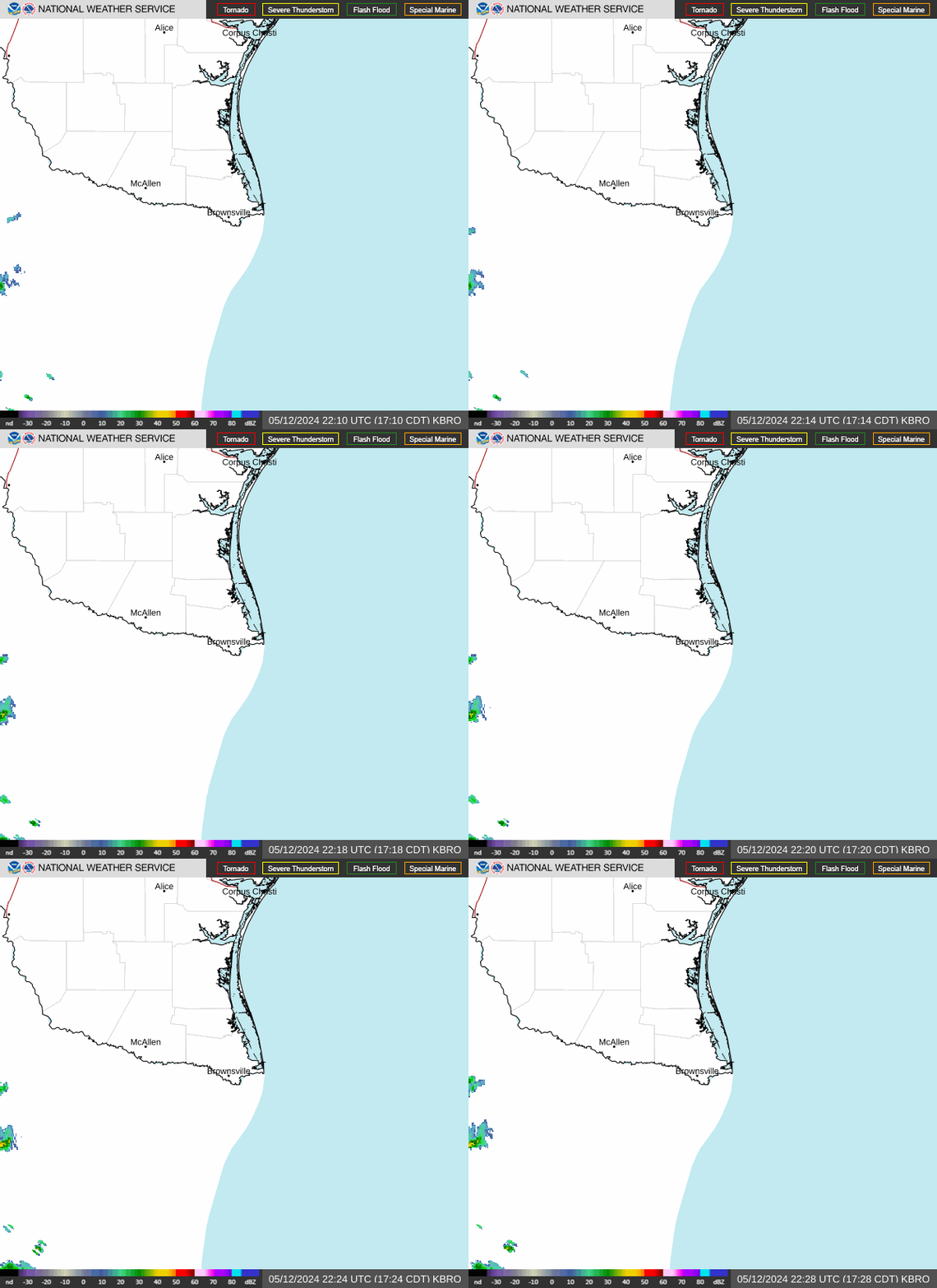 Brownsville/RGV Radar
 Weather Map
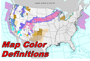 Map Color Definitions
 Follow us on X
 Follow us on Facebook
 Follow us on YouTube
 BRO RSS Feed