Overview
|
**All data is preliminary and subject to change upon further review** A supercell thunderstorm moved through Hardin, MT around 4:30 PM MDT on June 11, 2022. It produced destructive straight-line winds, estimated to be around 115 mph. The strongest winds were just north of town, while the winds in the town of Hardin itself were likely closer to 90 mph. The Hardin airport measured a wind gust of 84 mph at 4:25 PM MDT before data went missing due to power outages. An estimated 1,778 customers were without power as many powerlines were snapped, metal sign posts were bent nearly to the ground, some metal roofing was removed from buildings, trees were snapped and uprooted, and crop damage occurred from wind blown hail. |
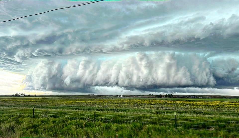
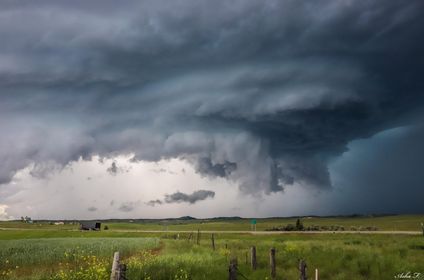 Photo take near Hardin, MT by Asha Franzen. |
Wind & Hail:
Significant winds went through the town of Hardin, MT causing extensive damage and wind-blown hail damage to crops occurred in some locations as well.
Wind Damage
The worst of the winds appeared to happen just north of the town of Hardin, MT. Many power poles were snapped and some highway signs were bent over nearly to the ground. There was also damage to transmission lines just north of town. The Hardin airport measured a wind gust to 84 mph prior to losing power. Based on the extent of damage to the power poles and the bent metal highway sign posts, it is estimated that peak wind speeds were around 115 mph.
 |
 |
 |
.JPG) |
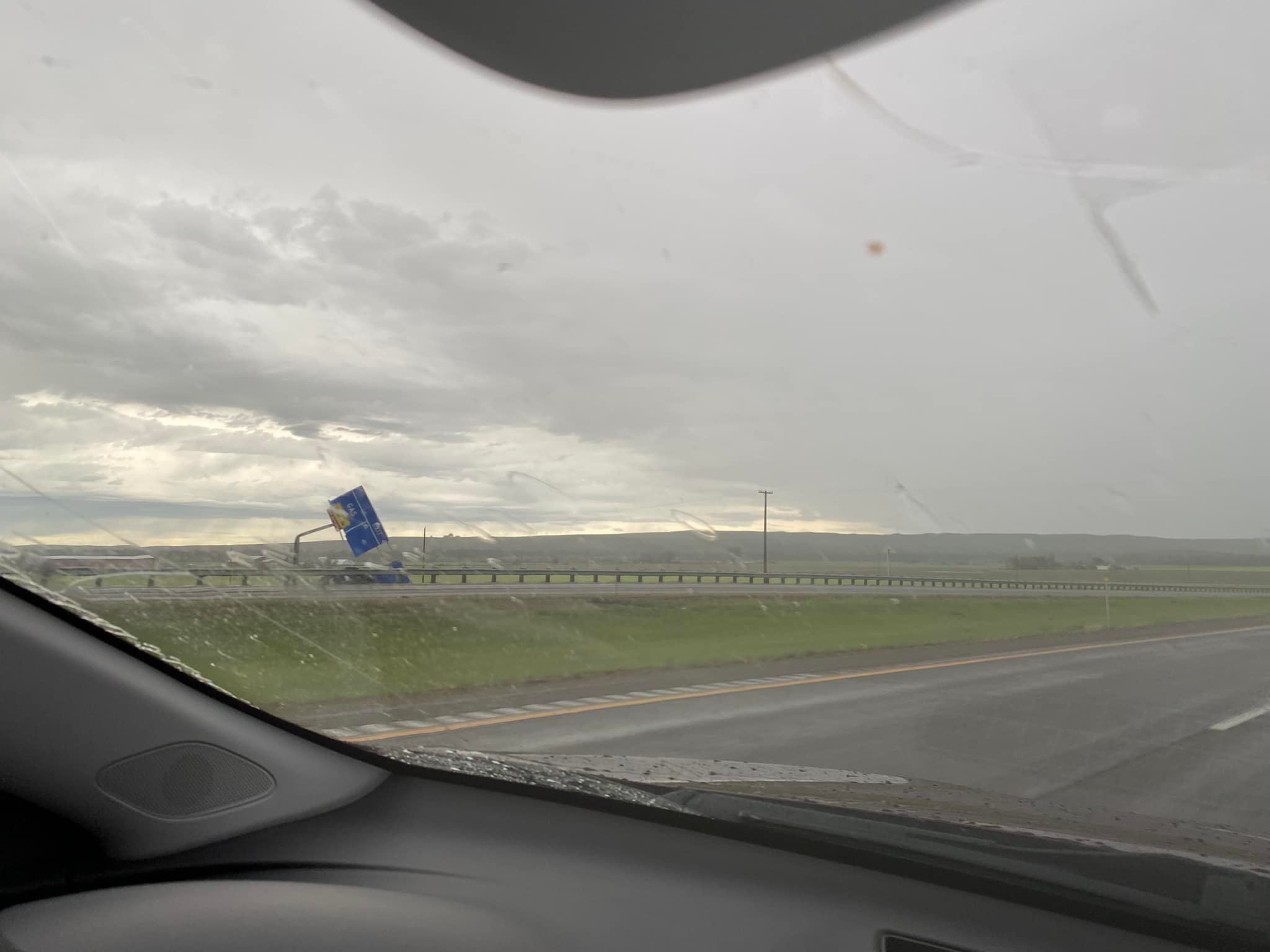
| Flipped over camper and truck near Hardin, MT. Photo by Tiffany Jabalera. | Bent Highway Sign near Hardin. Photo by Zach Wilson. | Flipped over semi near Hardin, MT. Photo by Tiffany Jabalera. | Bent and snapped power poles on Hwy 47 near Hardin, MT. Photo by John Ojeda. |
Photos
 |
 |
 |
.jpg) |
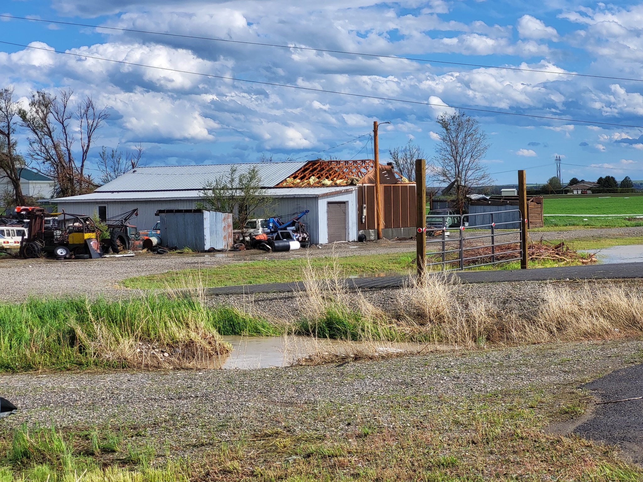
| Metal roofing torn off a building in Hardin, MT. (Photo by John Ojeda) |
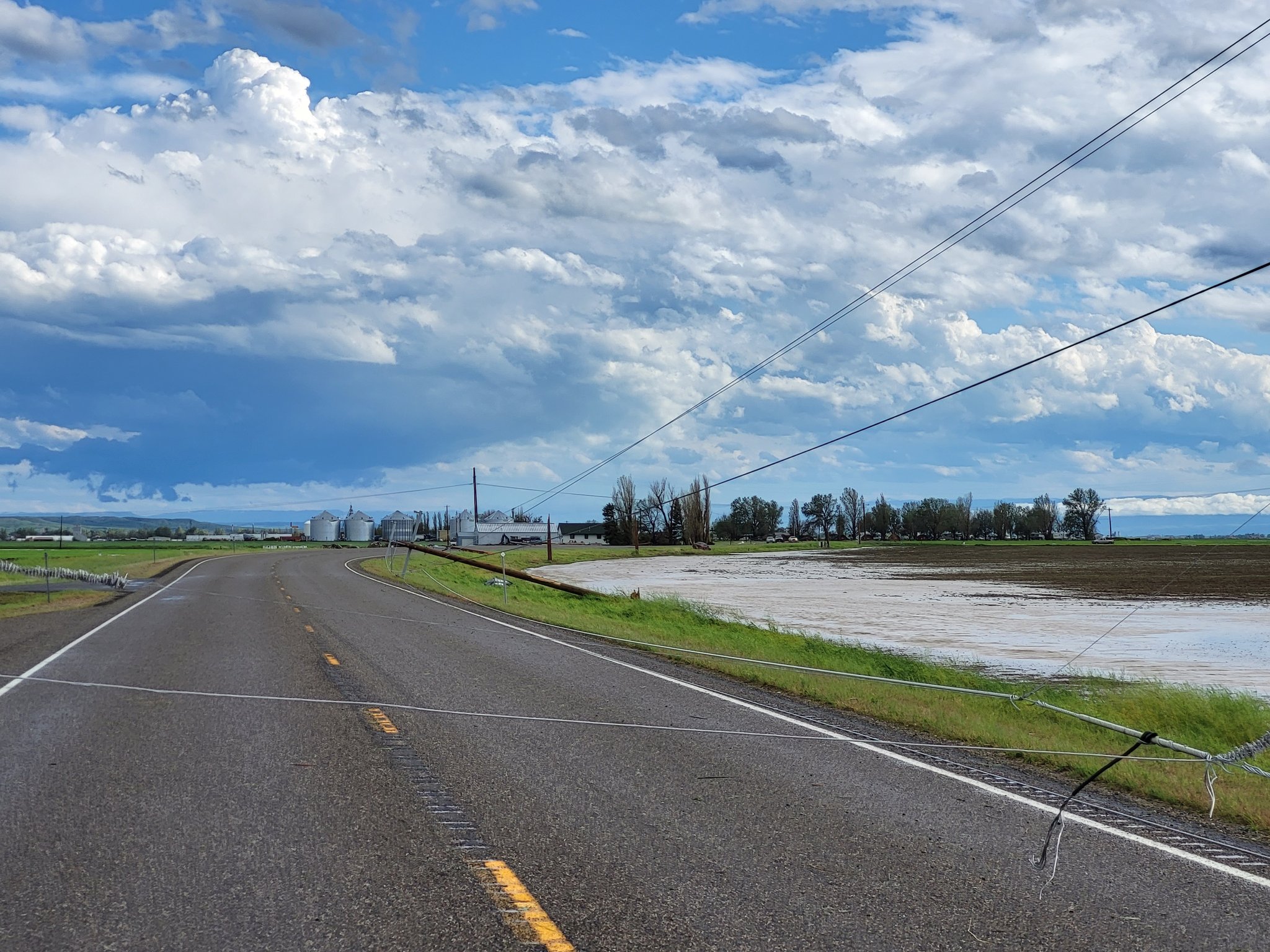
Downed and snapped power poles on Hwy 47 north of Hardin, MT. (Photo by John Ojeda) |
Supercell as it approached Hardin, MT. (Photo by Amber Garrison Haug) |
Storm as it was just east of Hardin, MT. (Photo by Asha Franzen) |
Radar
.gif) |
| Animated GIF of the radar loop as the storm moved through Hardin, MT. |
 |
Media use of NWS Web News Stories is encouraged! Please acknowledge the NWS as the source of any news information accessed from this site. |
|

