National Weather Service United States Department of Commerce
Click a location below for detailed forecast.

Last Map Update: Tue, May. 7, 2024 at 5:36:28 am CDT

National Weather Service Austin/San Antonio, TXNational Weather Service Austin/San Antonio, TXNational Weather Service Houston/Galveston, TX
National Weather Service Austin/San Antonio, TXZoom
Out

National Weather Service Brownsville/Rio Grande Valley, TXNational Weather Service Brownsville/Rio Grande Valley, TX

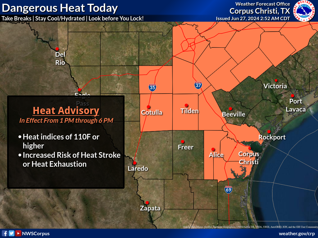
A warming trend will bring temperatures in the 80s to triple digits out west. The very warm surface temperatures will combine with low level humidity resulting in dangerous heat. Heat indices this afternoon up to around 109 degrees is expected across much of the region. Remember to stay cool and hydrated.
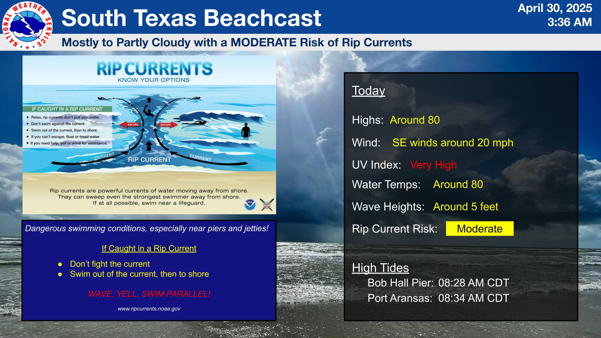
Very warm conditions today under mostly cloudy skies. High temperatures will be in the lower 80s. There is a MODERATE risk for rip currents along gulf facing beaches. Remember that rip currents can occur any time, especially near piers and jetties.
Partly cloudy skies will increase to mostly cloudy overnight keeping temperatures in the mid to upper 70s with dewpoints in the mid 70s. Some patchy fog is possible.
Dangerous heat this midweek with heat index values around 110 Tuesday through Thursday with max temperatures rising into the triple digits. A weak 'cold' front pushes through Friday morning, resulting in a low chance of showers and thunderstorms this weekend.
Be ready for hurricane season. Take action TODAY to be better prepared for when the worst happens. Understand your risk from hurricanes, and begin pre-season preparations now. Make sure you have multiple ways of receiving forecasts and alerts, and know what to do before, during, and after a storm. Follow our social media feeds for tips throughout the week!
It's that time of the year. Come join us for one of our Hurricane Preparedness Talks this summer. We plan on adding additional talks over the next few months so continue to check back to see which date works for you! To register, visit: https://www.weather.gov/crp/hurricanetalks
There are a couple of hazards today for our beaches. A High Risk of Rip Currents and a Coastal Flood Advisory will be in effect through Tuesday morning along Gulf facing beaches. Exercise caution at both our beaches and waters.

 
Hourly Weather Roundup ( )
Location Sky/Weather Temp Dewpt RH Wind Baro Remarks
Alice
N/A
N/A
N/A
N/A
N/A
N/A
N/A
Beeville
N/A
N/A
N/A
N/A
N/A
N/A
N/A
Corpus Christi
N/A
N/A
N/A
N/A
N/A
N/A
N/A
Corpus Christi NAS
N/A
N/A
N/A
N/A
N/A
N/A
N/A
Cotulla
N/A
N/A
N/A
N/A
N/A
N/A
N/A
Kingsville NAS
N/A
N/A
N/A
N/A
N/A
N/A
N/A
Laredo
N/A
N/A
N/A
N/A
N/A
N/A
N/A
Port Lavaca
N/A
N/A
N/A
N/A
N/A
N/A
N/A
Rockport
N/A
N/A
N/A
N/A
N/A
N/A
N/A
Victoria
N/A
N/A
N/A
N/A
N/A
N/A
N/A
Note: "N/A" or "MISG" will be displayed if values are not available. In the LOCATION column, click on links for a list of recent observations at sites of interest. In the WIND column, VRB is "variable" and G is "gust". Wind speeds are in MPH. In the BARO (pressure) column, values are in inches. In the REMARKS column, HX is "heat index", WCI is "wind chill index", and VSB is "visibility" (if shown).
 
Text Product Selector
Video Briefing Weather Outlook Fcst Discussion Tropical Marine Tides
Rivers and Lakes Daily Rainfall Drought Fire Observations Satellite

Hourly Wx Graph Graphical Fcst Aviation Climate Past Events Hurricane Guide