
Scattered severe storms are expected in the Midwest this afternoon/tonight, with another threat possible in the central/southern Plains. Late-season snow is expected over parts of the central Rockies including the Denver Metro into Wednesday. Severe thunderstorms are expected Tuesday and Wednesday across Texas and the mid-South, with threats of damaging winds, large hail, tornadoes, and flooding. Read More >

Forecasts and NWS Headlines:
Helpful Links:
West Michigan Snowfall Forecast
Scientific Forecast Discussion
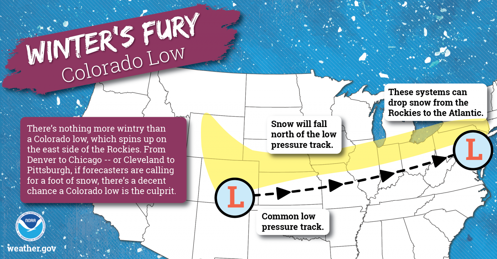
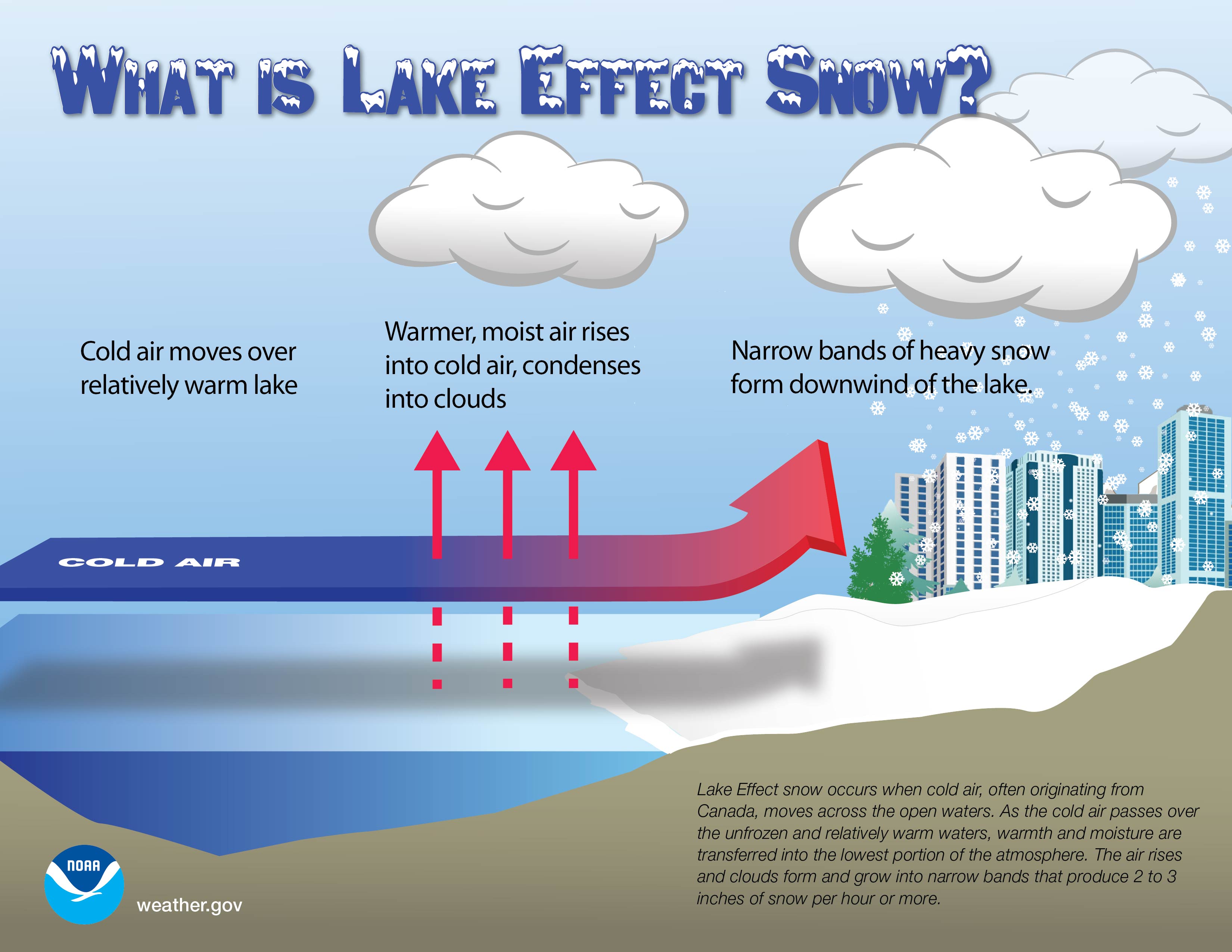
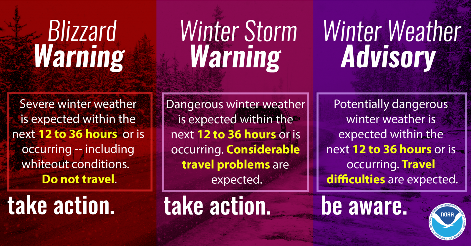
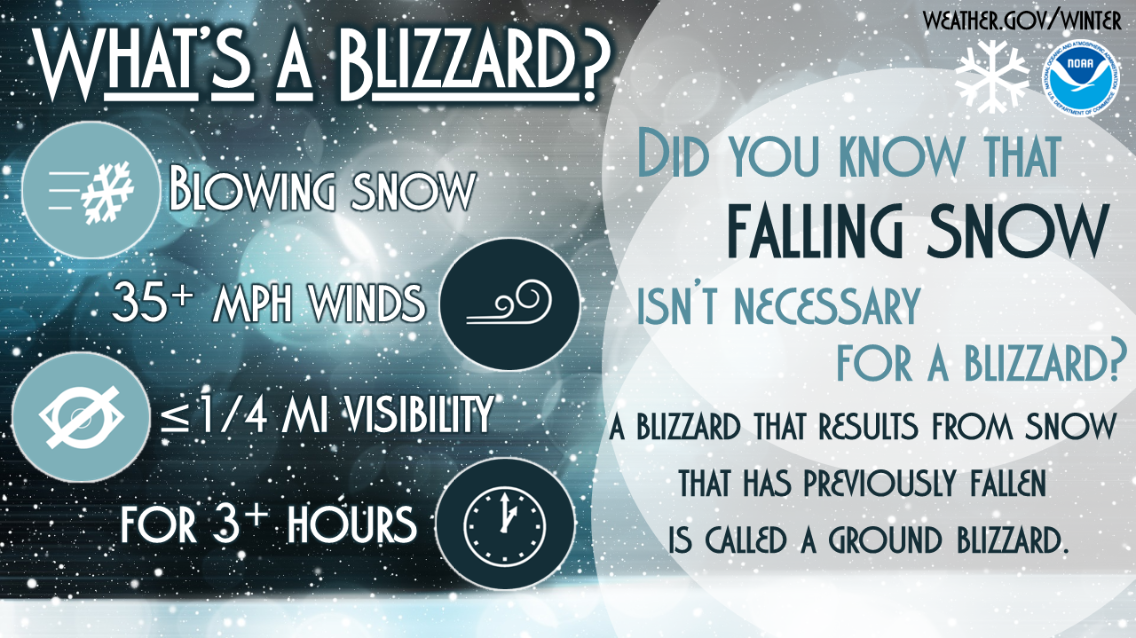
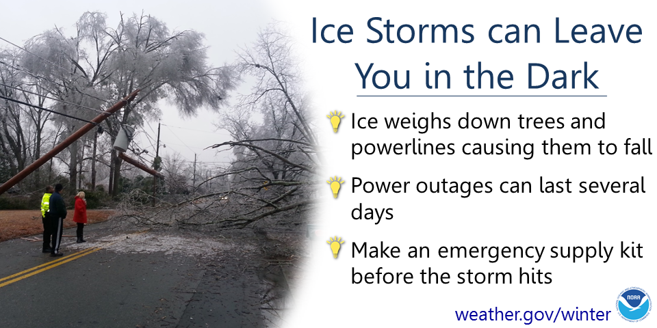
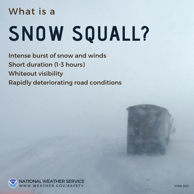
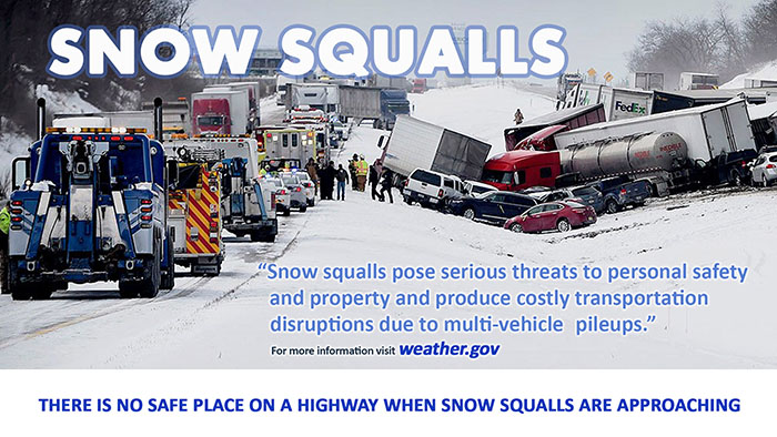
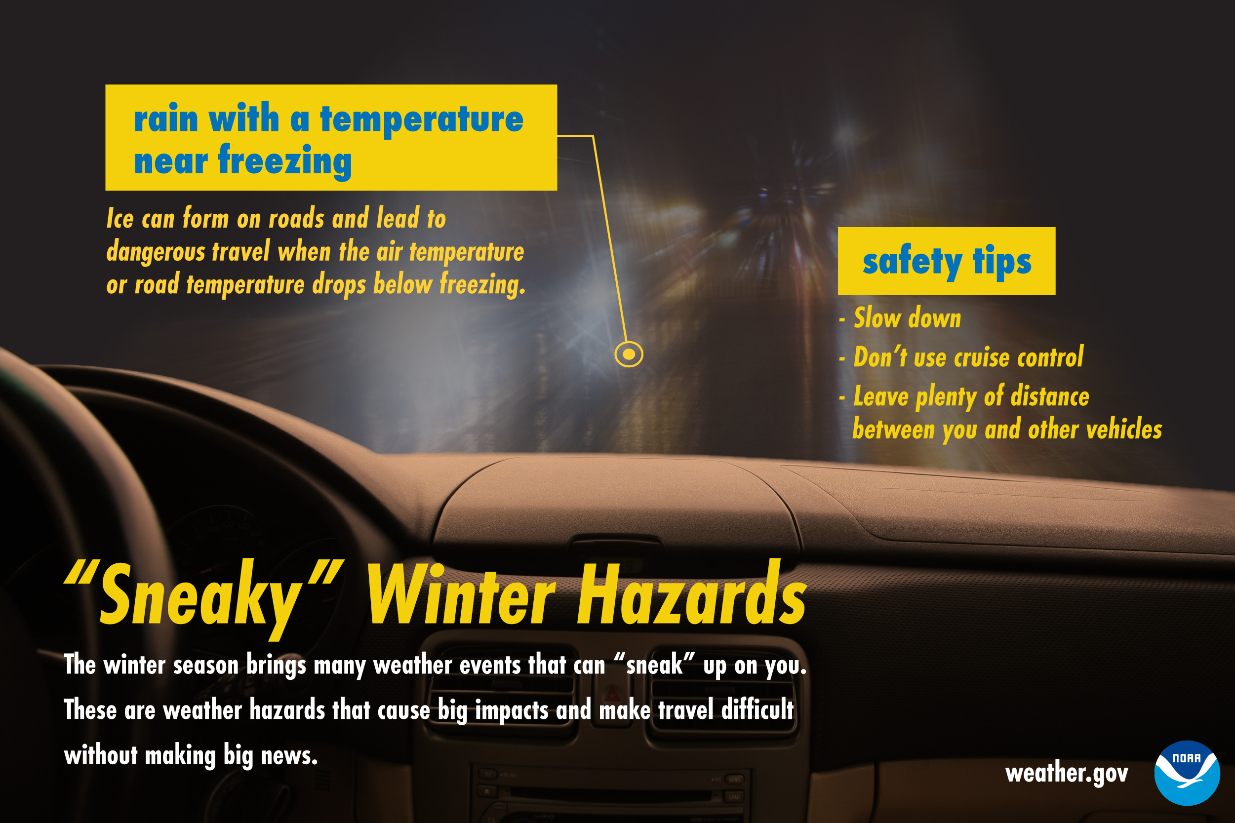
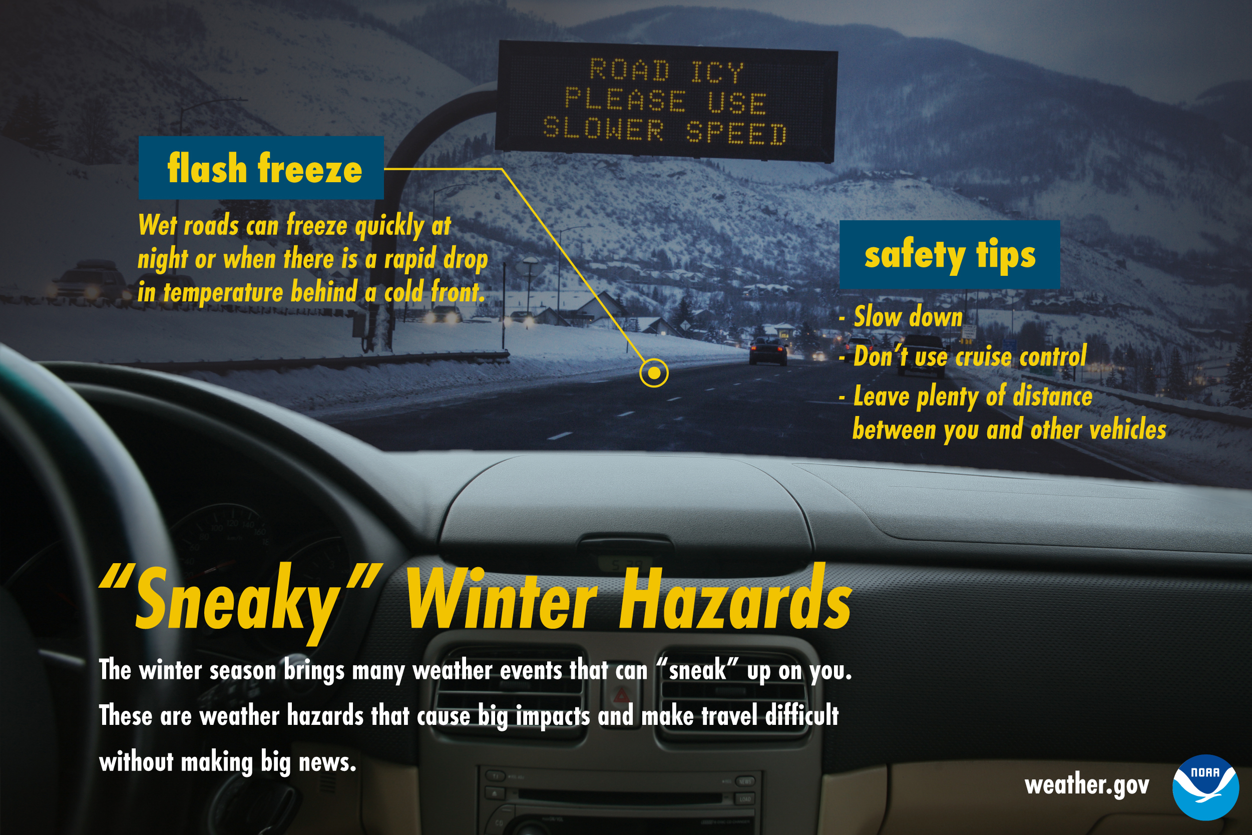
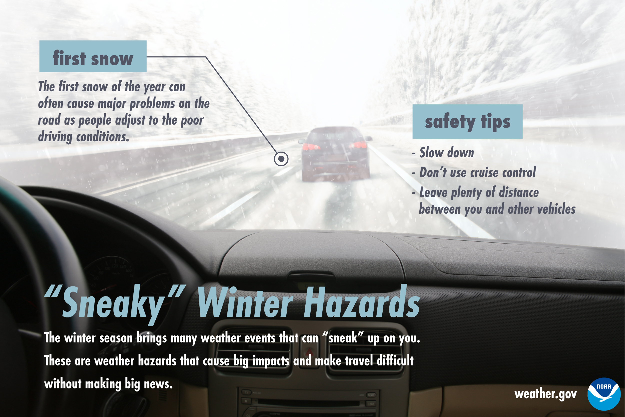
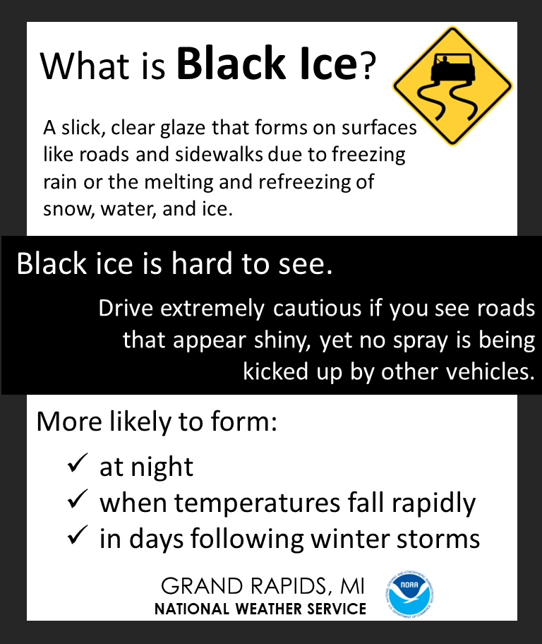
Hazards:


.jpg)
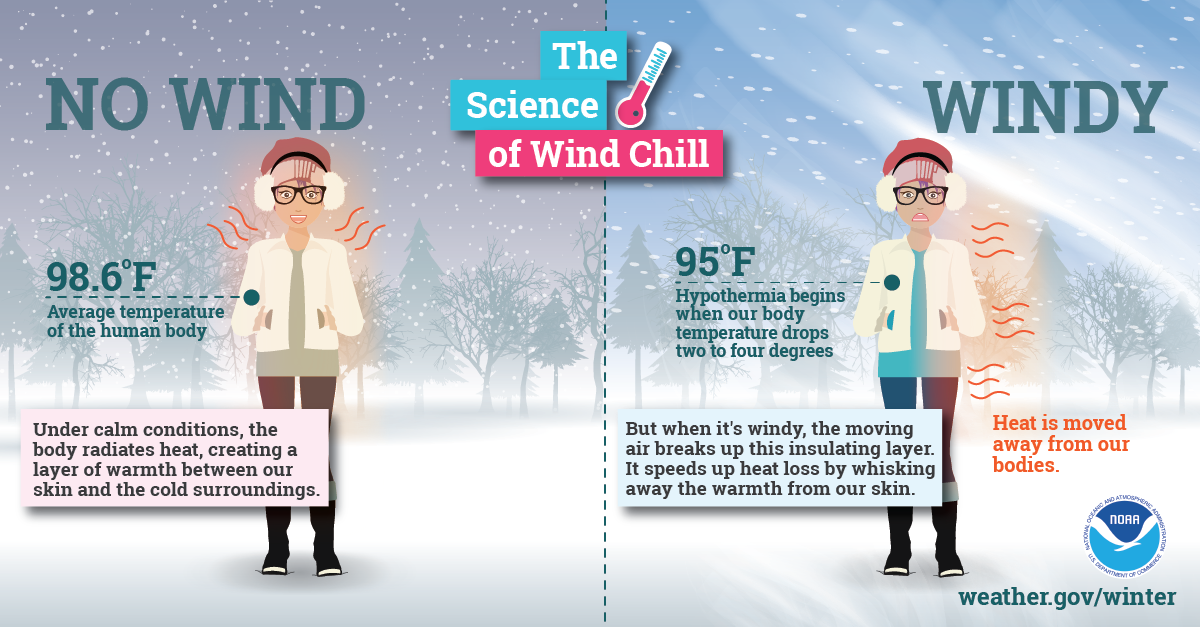
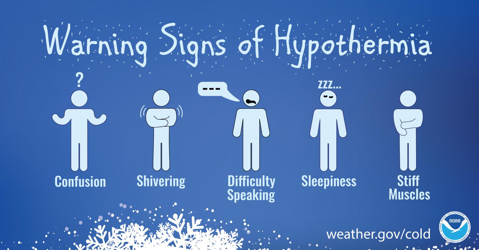
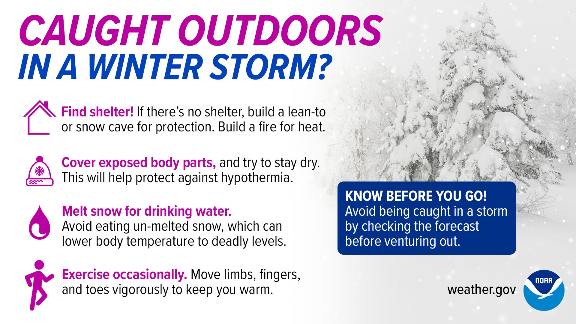
Outdoor Safety:
.png)


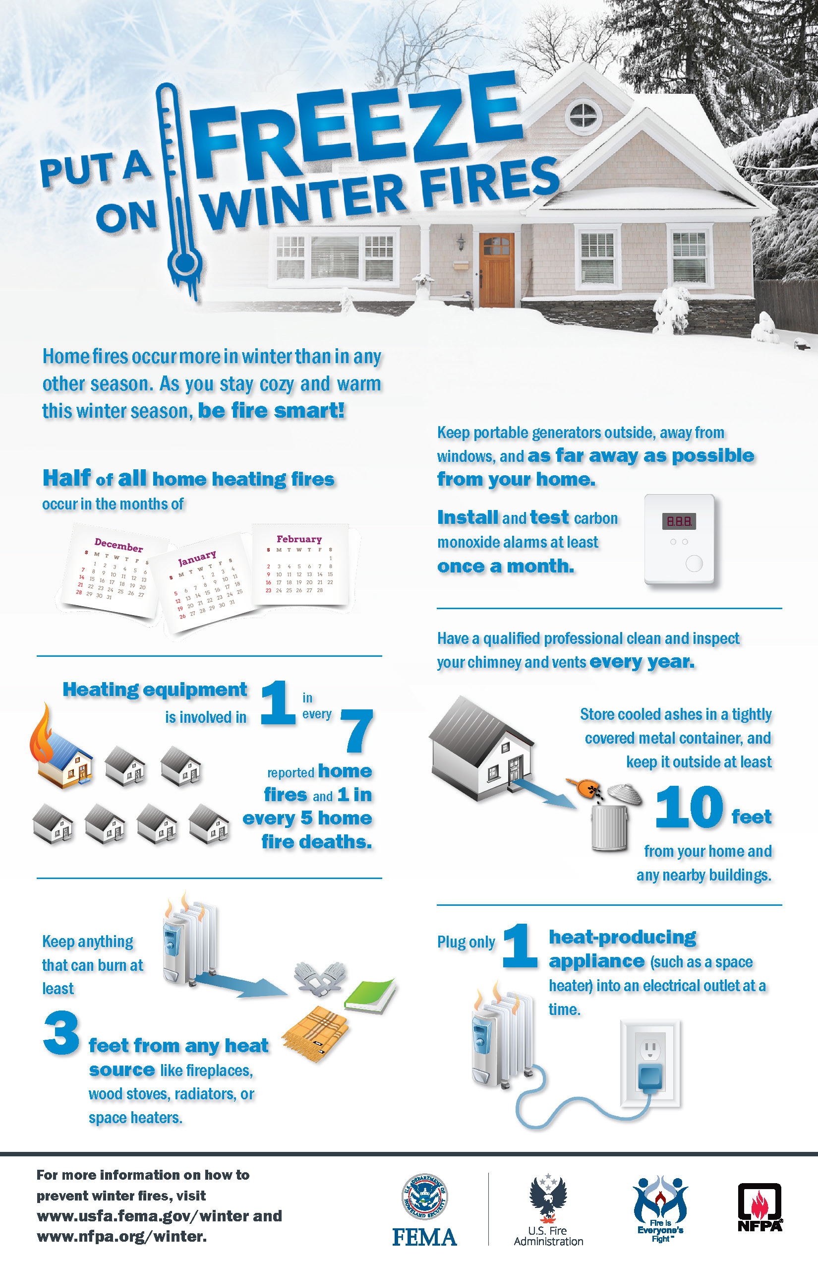
Home and Vehicle Prep:
.png)


.png)

.png)


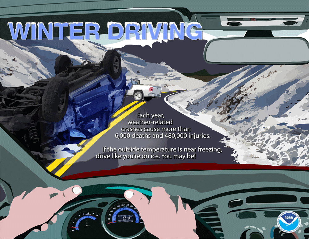
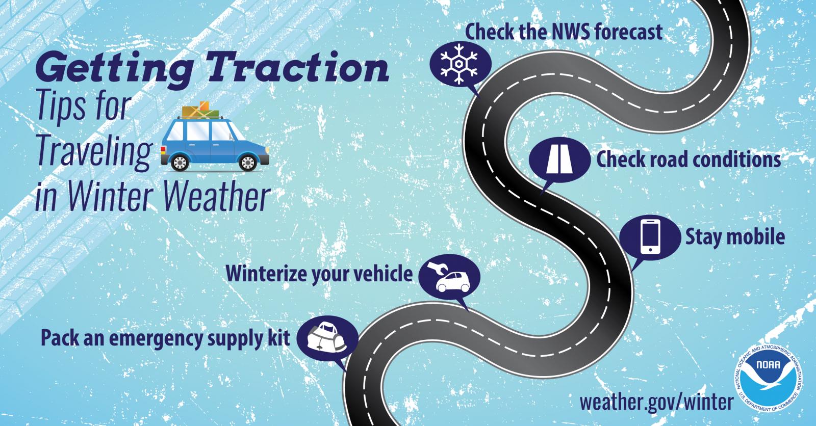
Travel:
Know Before You Go!
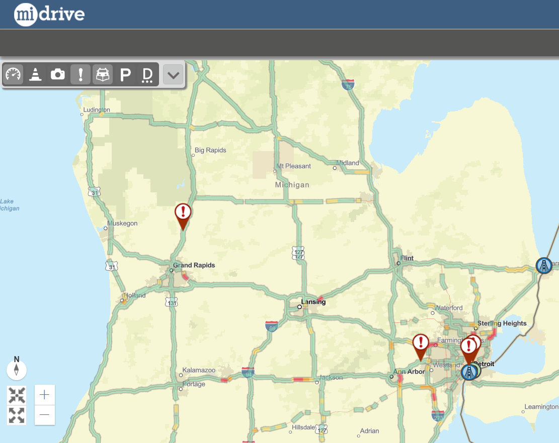

Visit MDOT's interactive MI Drive Map to see road conditions through travel speeds, webcams, snow plows, and more!
.jpg)


.png)
(1).png)


.jpg)
.jpg)
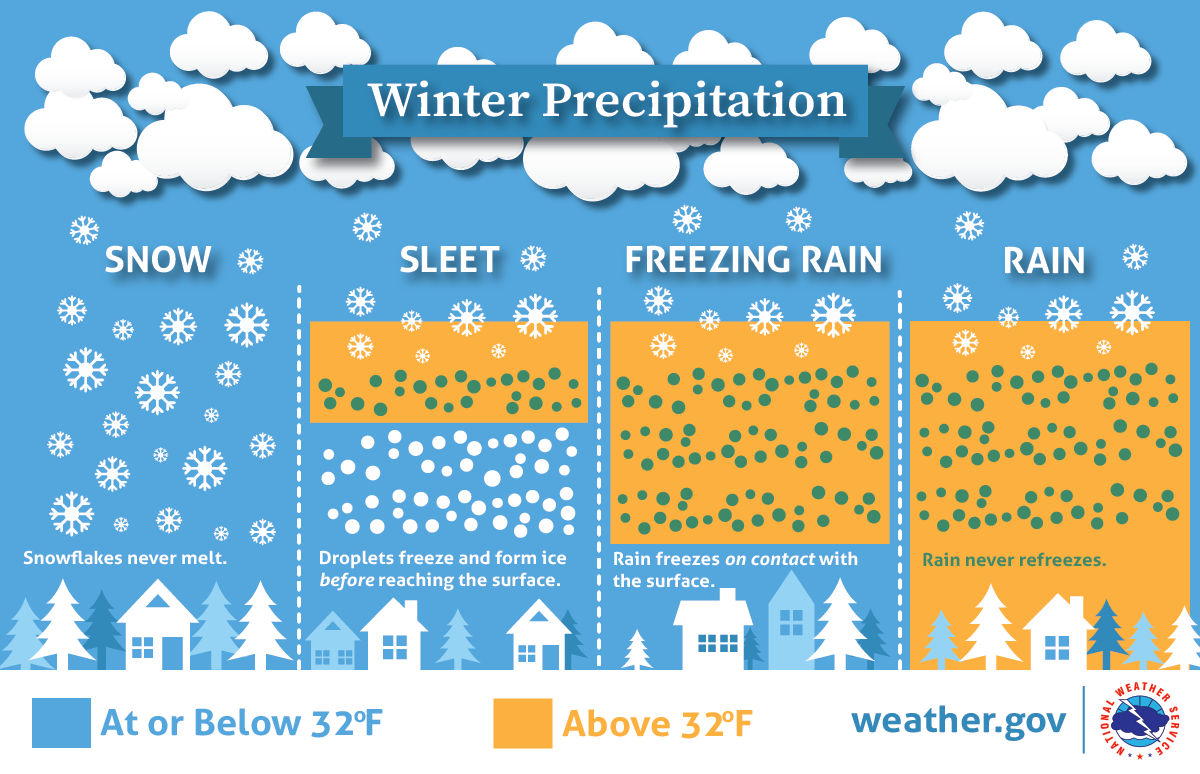
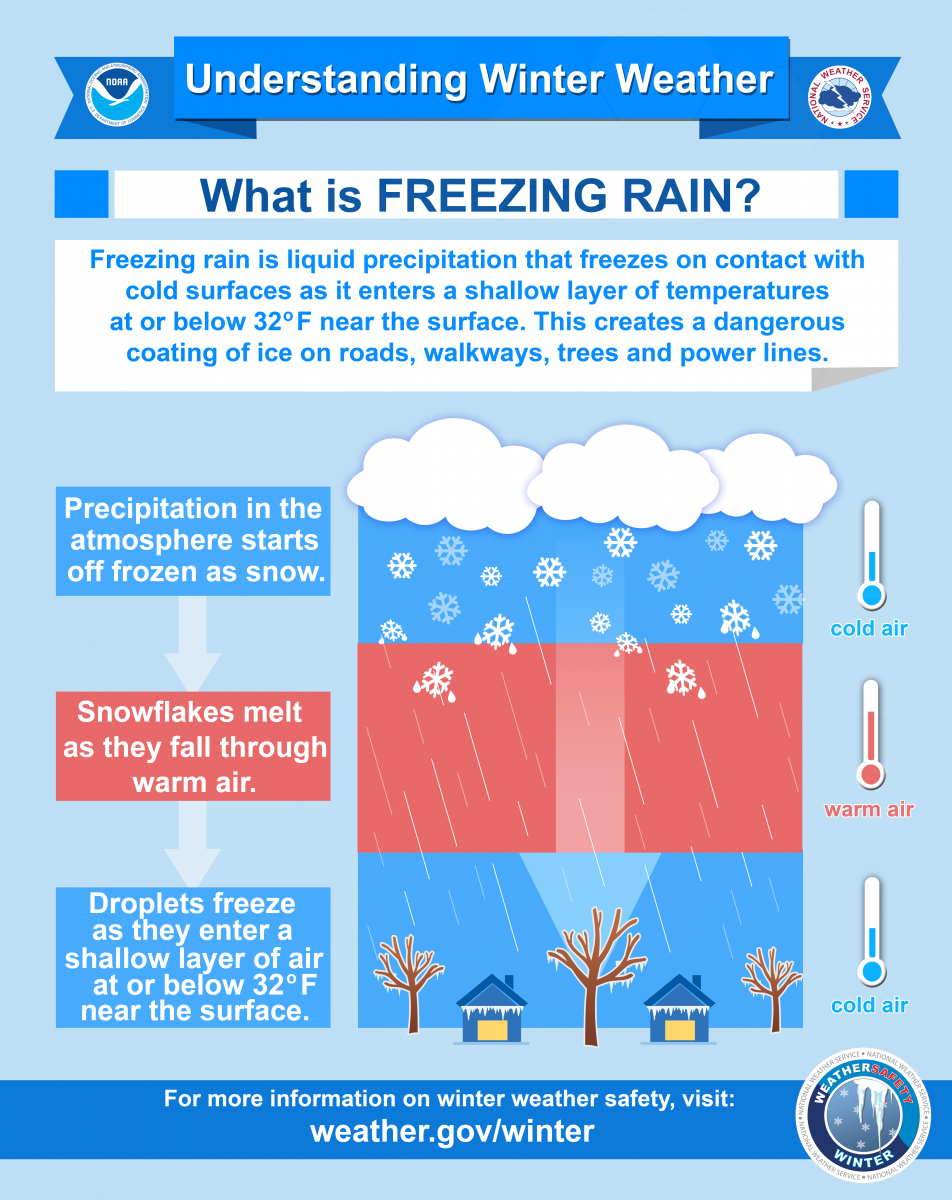
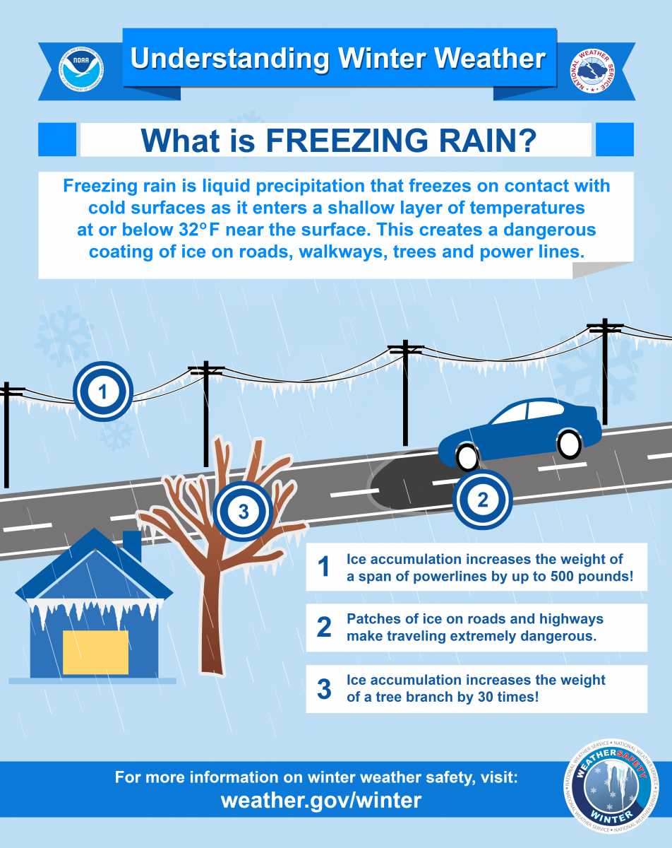
Precipitation Types:
.jpg)
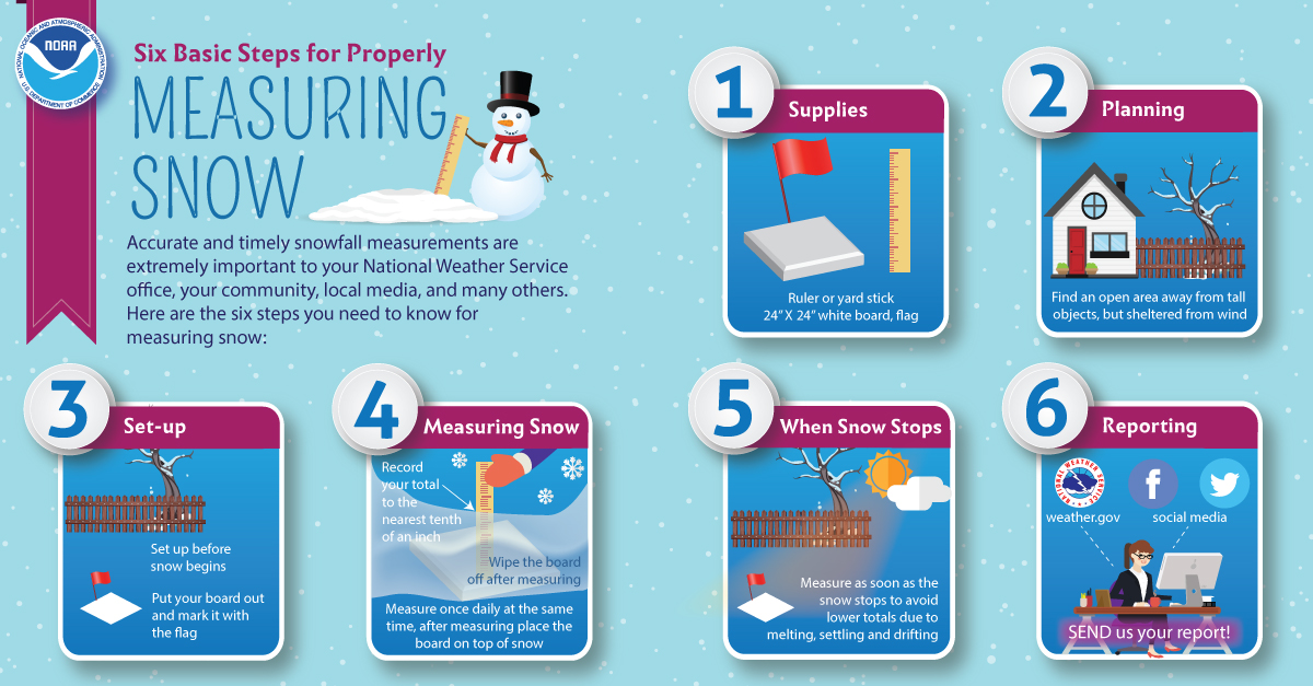
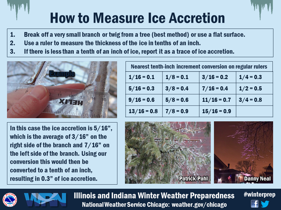
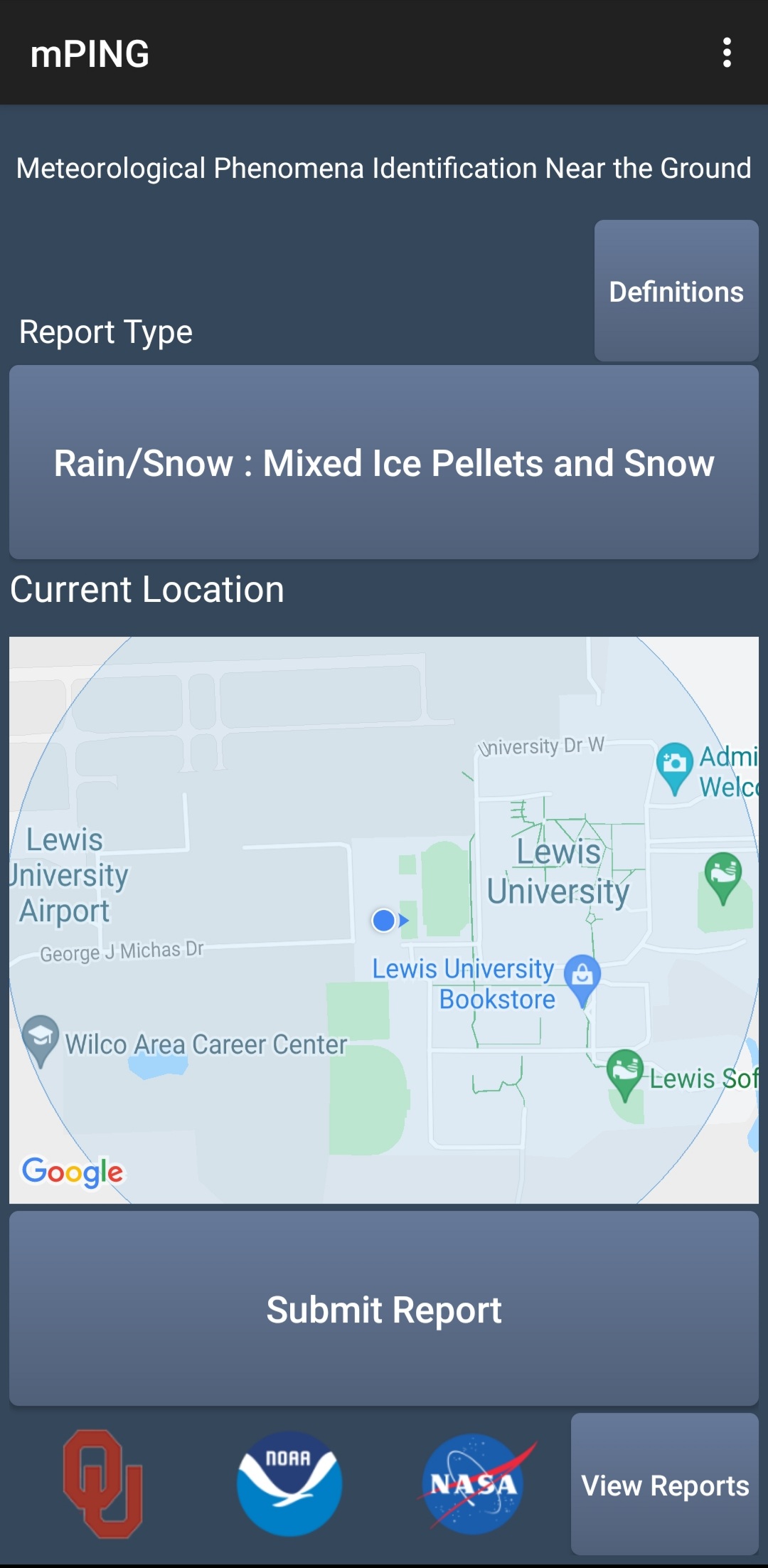
Reporting:
Send us your reports!
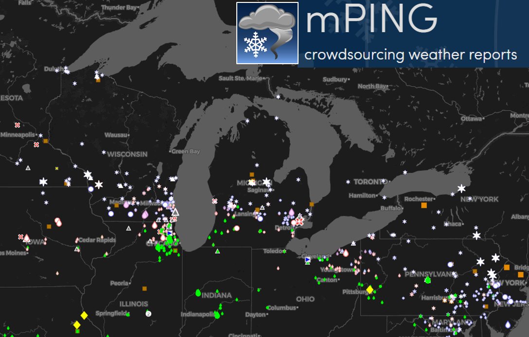
| Help us track what is happening by submitting precipitation reports through the mPing app! These observations of precipitation type plot directly on our workstations at the NWS offices, and we can use that to better assess the current state of the atmosphere and its impacts, and adapt our forecast and impact-based messaging as needed. |
Links:
Helpful Links:
West Michigan Snowfall Forecast
Scientific Forecast Discussion
Most Recent Hazardous Winter Weather Product
MDOT's interactive MI Drive Map
Submit precipitation type reports via the mPing app
Local Temperature and Precipitation Table issued twice daily at 7 am/pm EST or 8am/pm EDT
Local CoCoRaHS Precipitation Reports
National Weather Service Offices in Gaylord and Detroit.
 |
Media use of NWS Web News Stories is encouraged! Please acknowledge the NWS as the source of any news information accessed from this site. |
|

