150
WWUS73 KILX 251834
NPWILX
URGENT - WEATHER MESSAGE
National Weather Service Lincoln IL
134 PM CDT Sat Jul 25 2026
ILZ027>031-036>038-040>044-047>054-061-261000-
/O.CON.KILX.HT.Y.0004.260726T1700Z-260728T0200Z/
Knox-Stark-Peoria-Marshall-Woodford-Fulton-Tazewell-McLean-
Schuyler-Mason-Logan-De Witt-Piatt-Cass-Menard-Scott-Morgan-
Sangamon-Christian-Macon-Moultrie-Shelby-
Including the cities of Shelbyville, Bloomington, Havana, Peoria,
Taylorville, Springfield, Lacon, Normal, Winchester, Eureka,
Galesburg, Sullivan, Jacksonville, Pekin, Lincoln, Rushville,
Canton, Toulon, Beardstown, Clinton, Monticello, Petersburg, and
Decatur
134 PM CDT Sat Jul 25 2026
...HEAT ADVISORY REMAINS IN EFFECT FROM NOON SUNDAY TO 9 PM CDT
MONDAY...
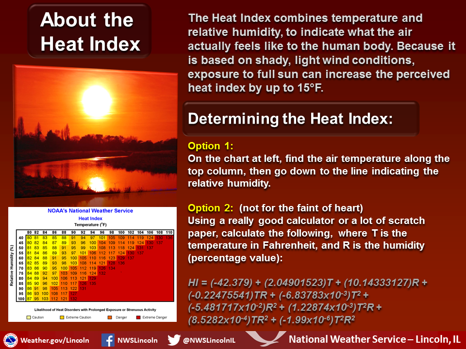
* WHAT...Heat index 105 to 110 expected.
* WHERE...Portions of central, east central, and west central
Illinois.
* WHEN...From noon Sunday to 9 PM CDT Monday.
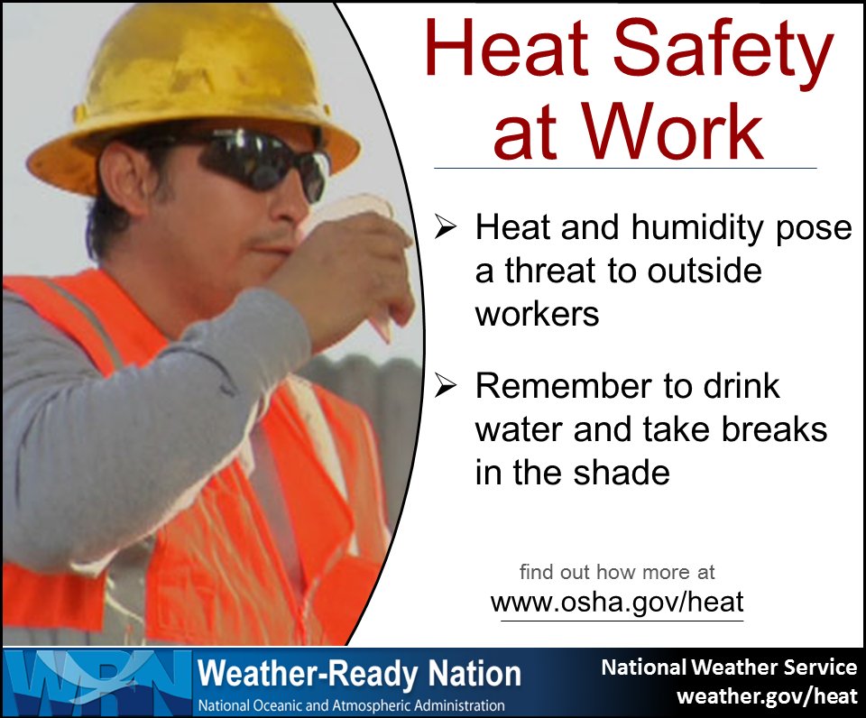
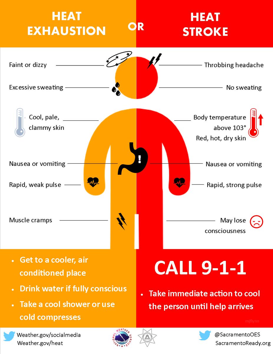
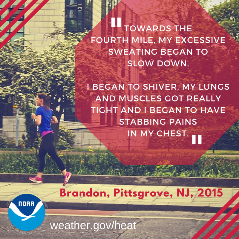
* IMPACTS...Hot temperatures and high humidity may cause heat
illnesses.
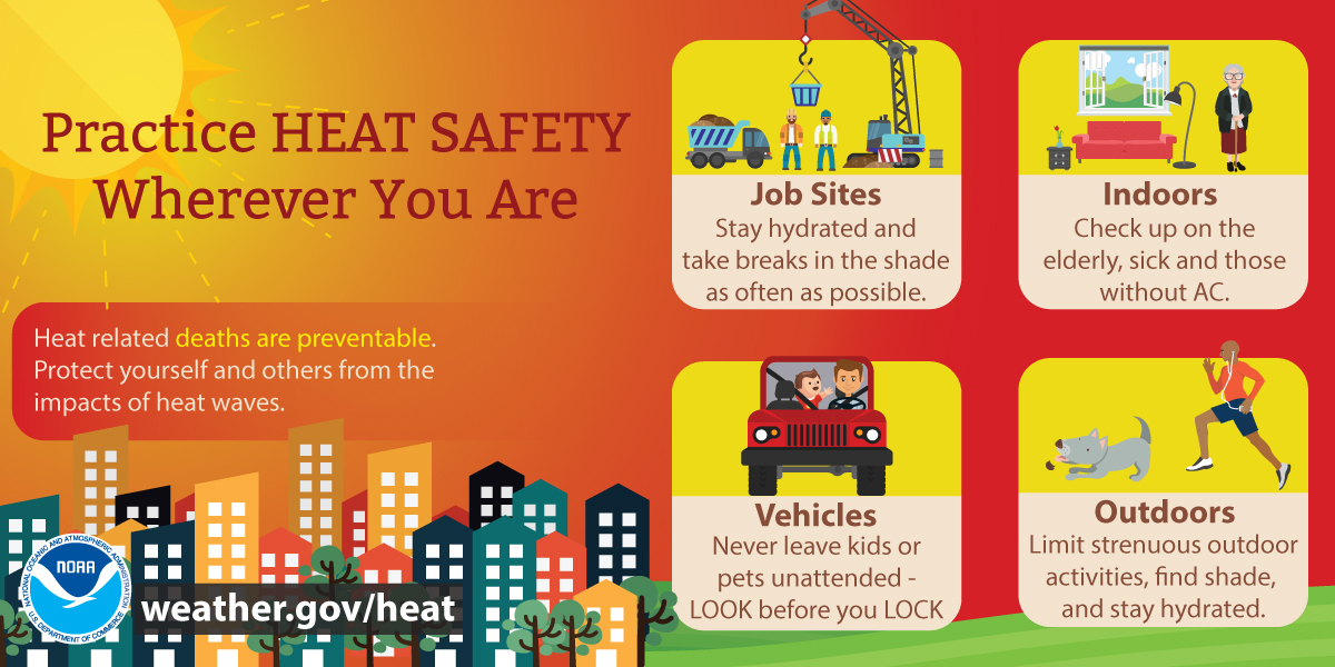
PRECAUTIONARY/PREPAREDNESS ACTIONS...
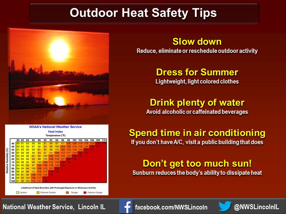
Drink plenty of fluids, stay in an air-conditioned room, stay out of
the sun, and check up on relatives and neighbors.
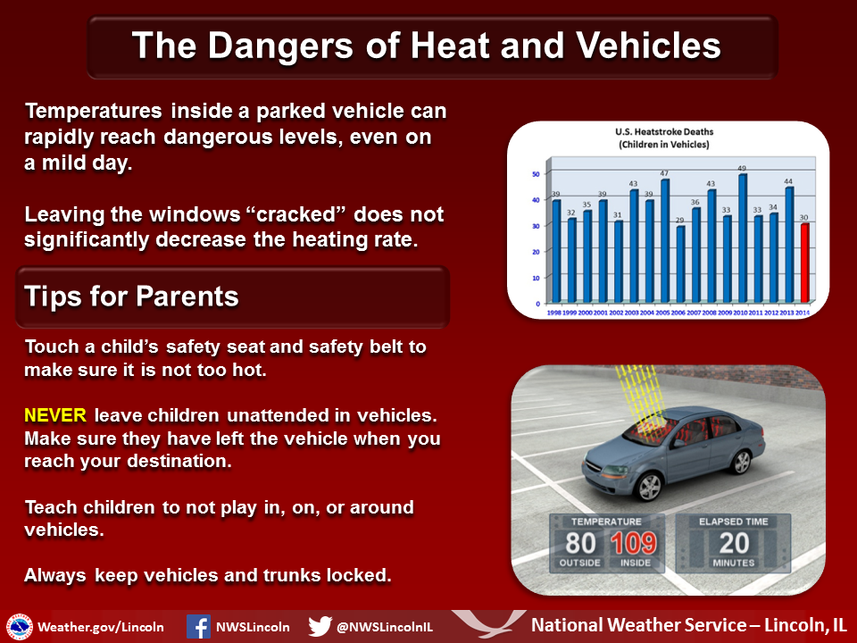
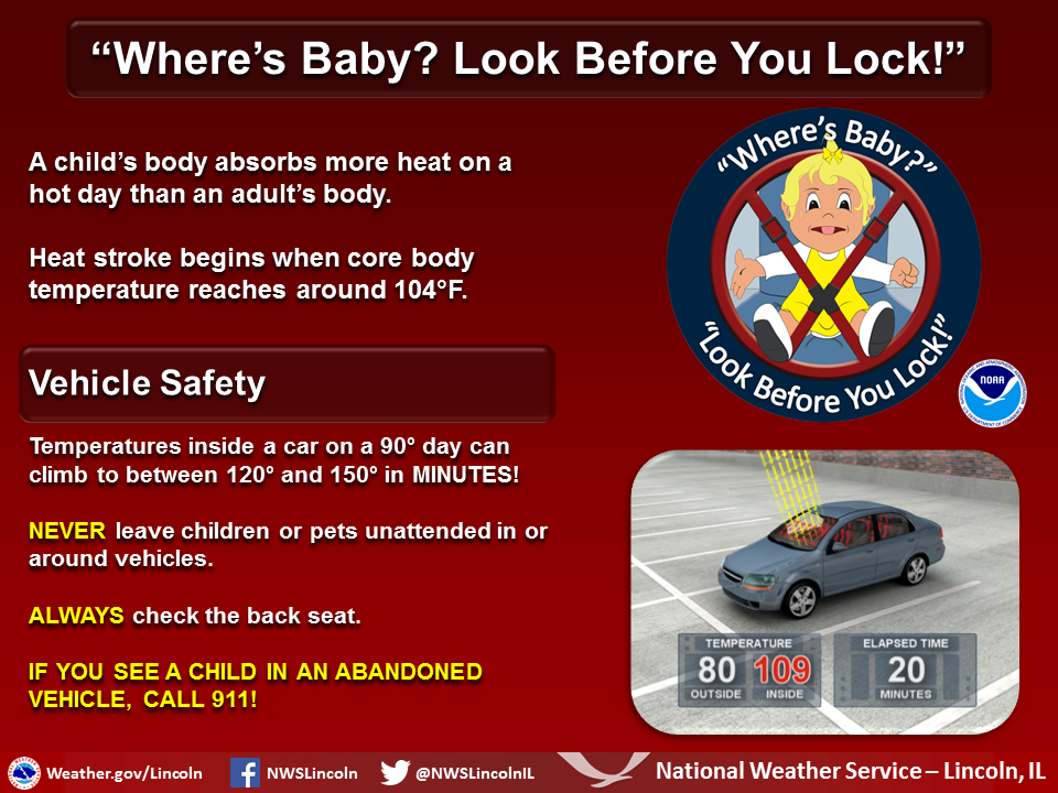
Do not leave young children and pets in unattended vehicles. Car
interiors will reach lethal temperatures in a matter of minutes.
&&
$$
NMA
Cooling centers are available in many cities and villages. Some are open during business hours, while others may run longer. Check with your local municipality to see where cooling centers are available. The state of Illinois also has facilities available around the state. You can look up these sites at this link: https://www.illinois.gov/KeepCool/SitePages/CoolingCenters.aspx