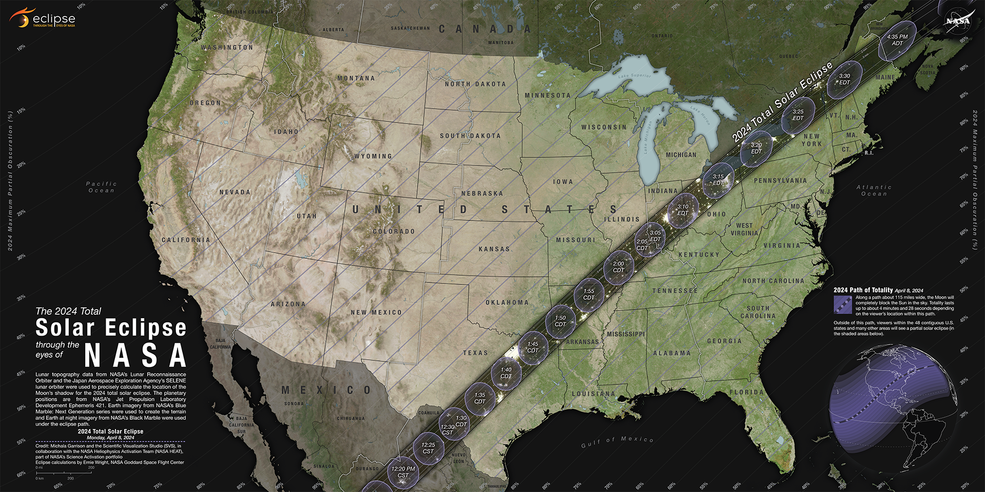
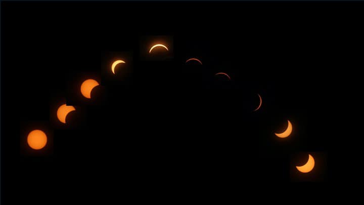
A total solar eclipse tracked northeastward across the United States the afternoon of April 8th, from south central Mexico to northern Maine. This track passed over southern Illinois, with some lucky areas experiencing their second total eclipse in 7 years. Unlike the last one, the totality area did cover portions of our service area, namely near and south of I-70 from Effingham to Paris southward. Outside of the area of totality, the remainder of central Illinois experienced at least 90% solar obscuration, and mostly 95% or higher east of the Illinois River.
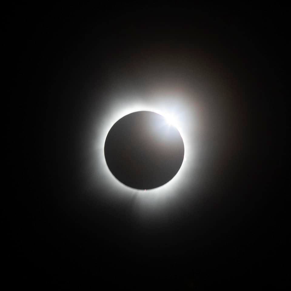
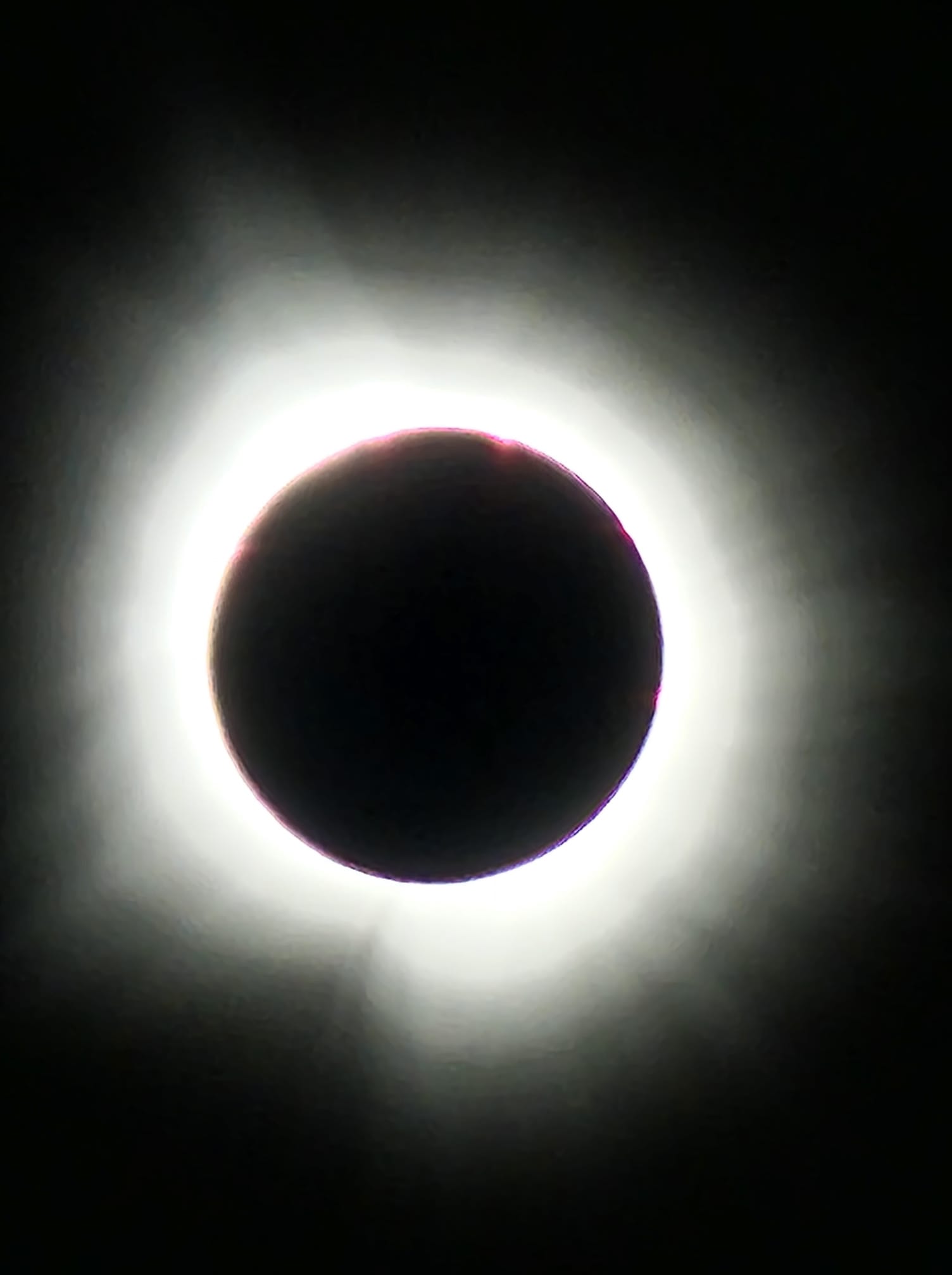
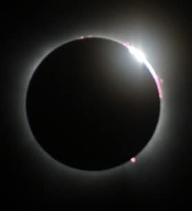
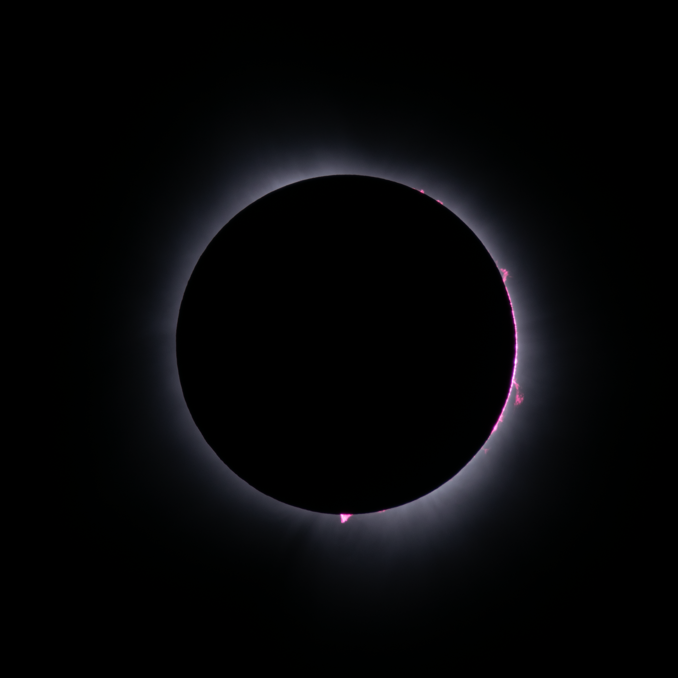
In a solar eclipse, the moon passes between the sun and earth, blocking all or part of the sun. In a total solar eclipse like this one, the sun is completely blocked, causing a period of darkness (as long as 4 minutes near Lawrenceville). In another type of solar eclipse, called an "annular" eclipse, the moon is not large enough to completely block the sun, so a ring of light is still observed around it at the peak.
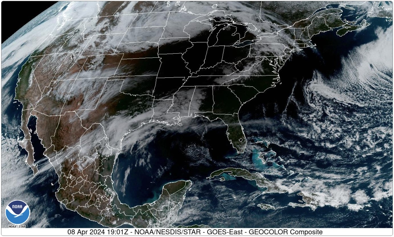
Visible satellite imagery easily shows where the eclipse shadow is moving across an area. In this image, taken around 2 pm CDT, much of the Midwest is blacked out by the lack of light. This satellite loop shows the track of the eclipse.
During the height of a solar eclipse, temperatures will usually fall as the amount of incoming solar radiation is reduced. With the eclipse ending around mid afternoon, temperatures were able to quickly recover to where they had been prior to the eclipse. In our area, the greatest fall was observed at the Champaign airport, where temperatures went from 73 degrees to 63 degrees.
The following stations have observations available every 5 minutes, and were more likely to have obtained the true temperature range:
Location           Temperature Fall      Lowest Temperature
========           ================     ====================
Bloomington             8 degrees       64 degrees (2:05 pm)
Champaign              10 degrees       63 degrees (2:20 pm)
Decatur                 7 degrees       66 degrees (2:10 pm)
Lawrenceville           6 degrees       68 degrees (2:20 pm)
Mattoon                 6 degrees       66 degrees (2:20 pm)
Peoria                  8 degrees       64 degrees (2:15 pm)
The automated station at Springfield was experiencing some malfunctions, and likely did not capture the true temperature fall.
The following stations take observations at a 15 minute cadence, so they may have missed the true temperature range.
Location           Temperature Fall      Lowest Temperature
========           ================     ====================
Danville                6 degrees       67 degrees (2:15 pm)
Effingham               8 degrees       66 degrees (2:15 pm)
Flora                   7 degrees       66 degrees (2:15 pm)
Jacksonville            7 degrees       67 degrees (2:15 pm)
Lacon                   3 degrees       64 degrees (2:15 pm)
Olney                   4 degrees       69 degrees (2:15 pm)
Paris                   8 degrees       64 degrees (2:15 pm)
Rantoul                 5 degrees       66 degrees (2:35 pm)
St. Francisville        5 degrees       71 degrees (2:15 pm)
Taylorville             8 degrees       64 degrees (2:18 pm)
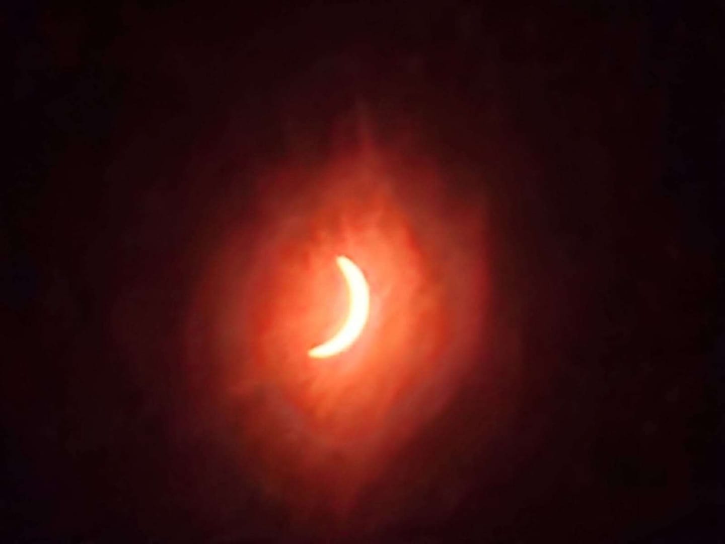
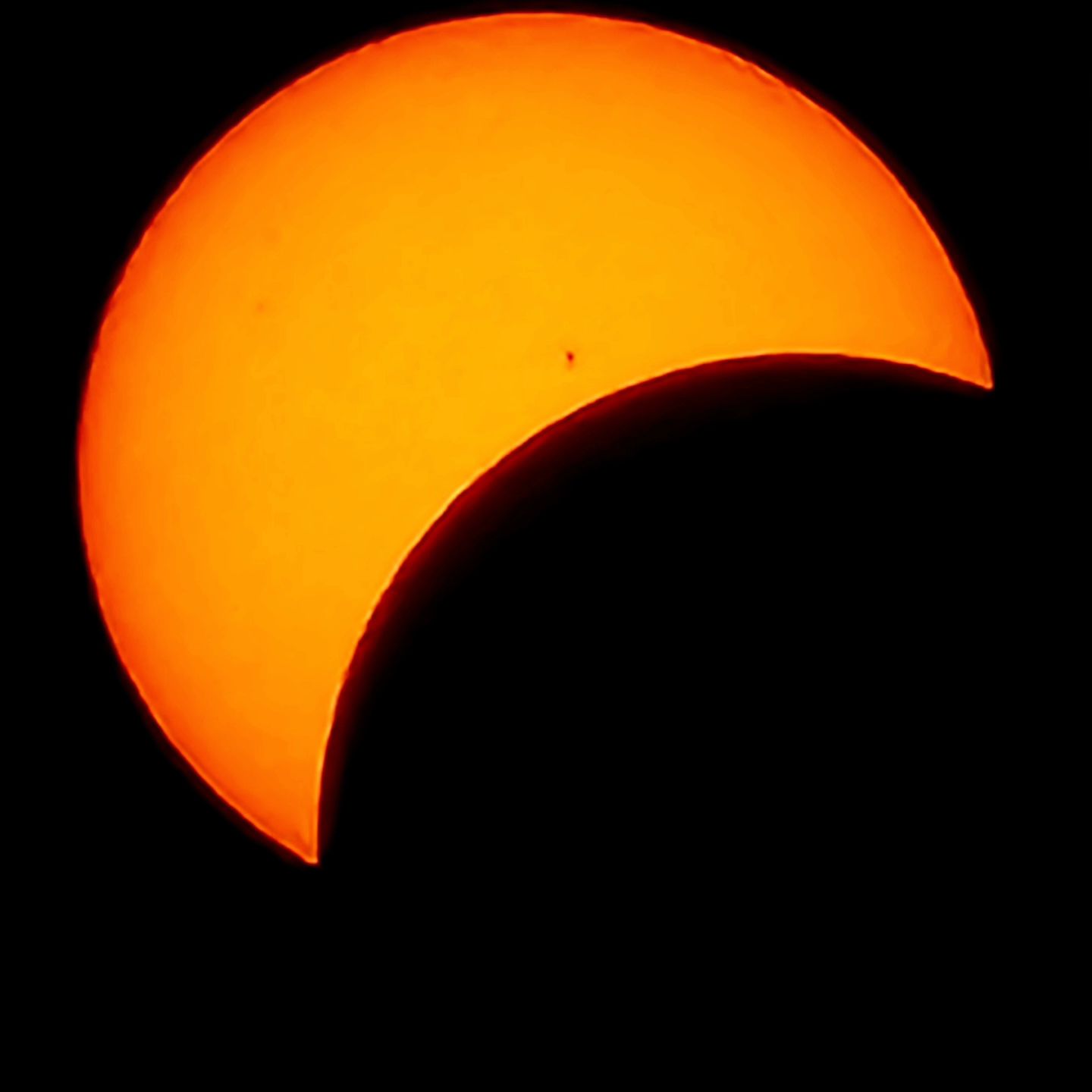
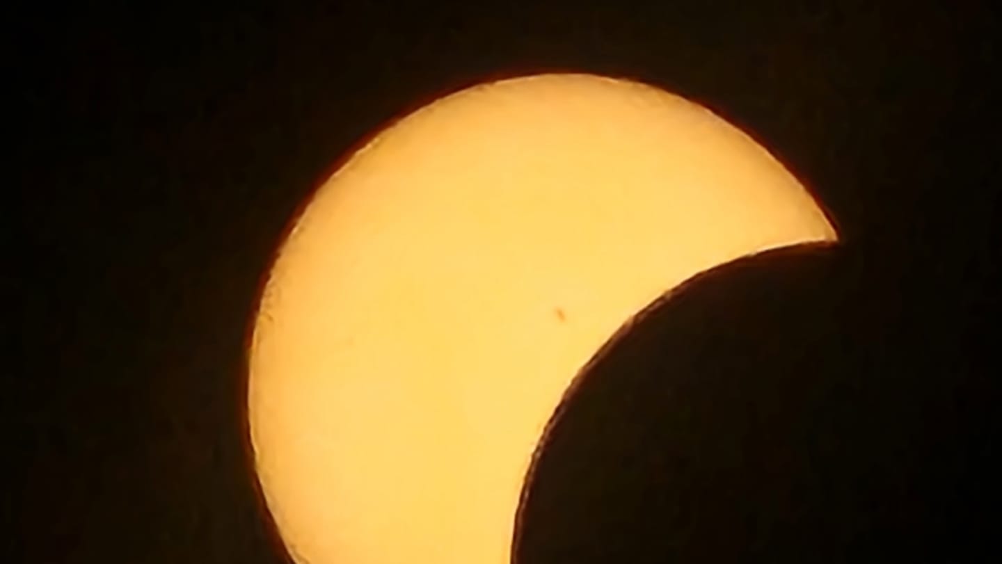
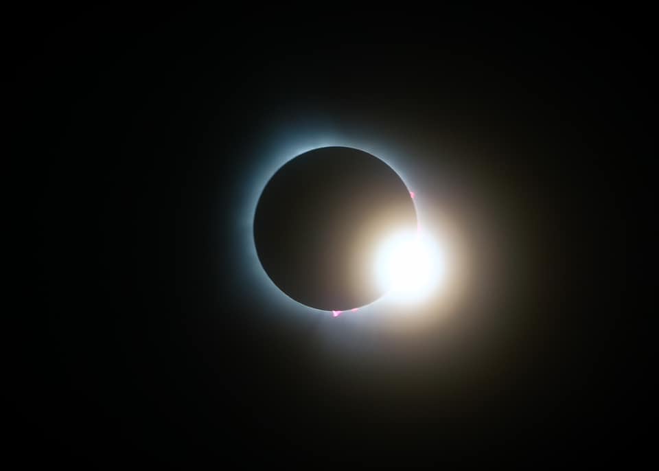
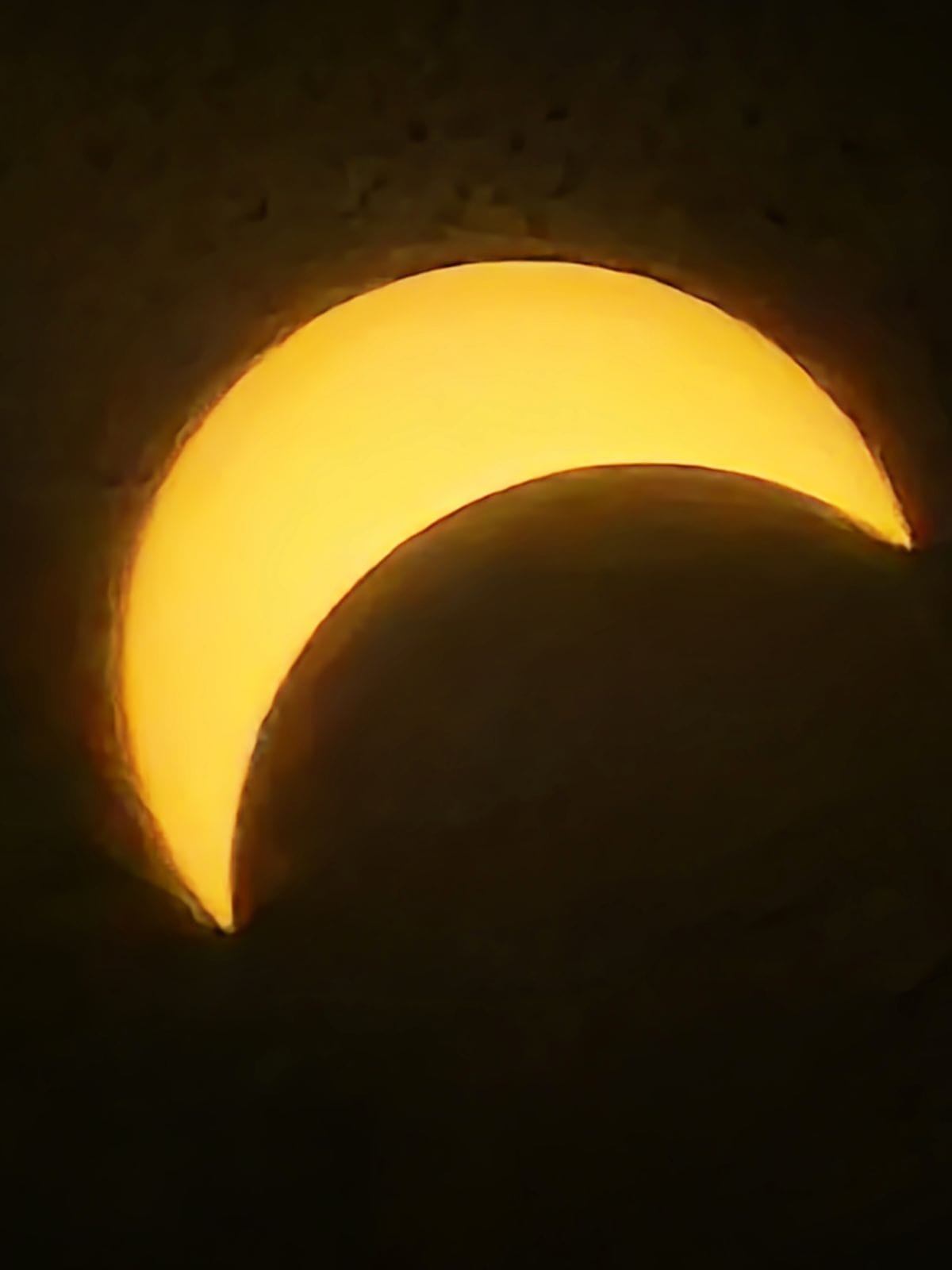
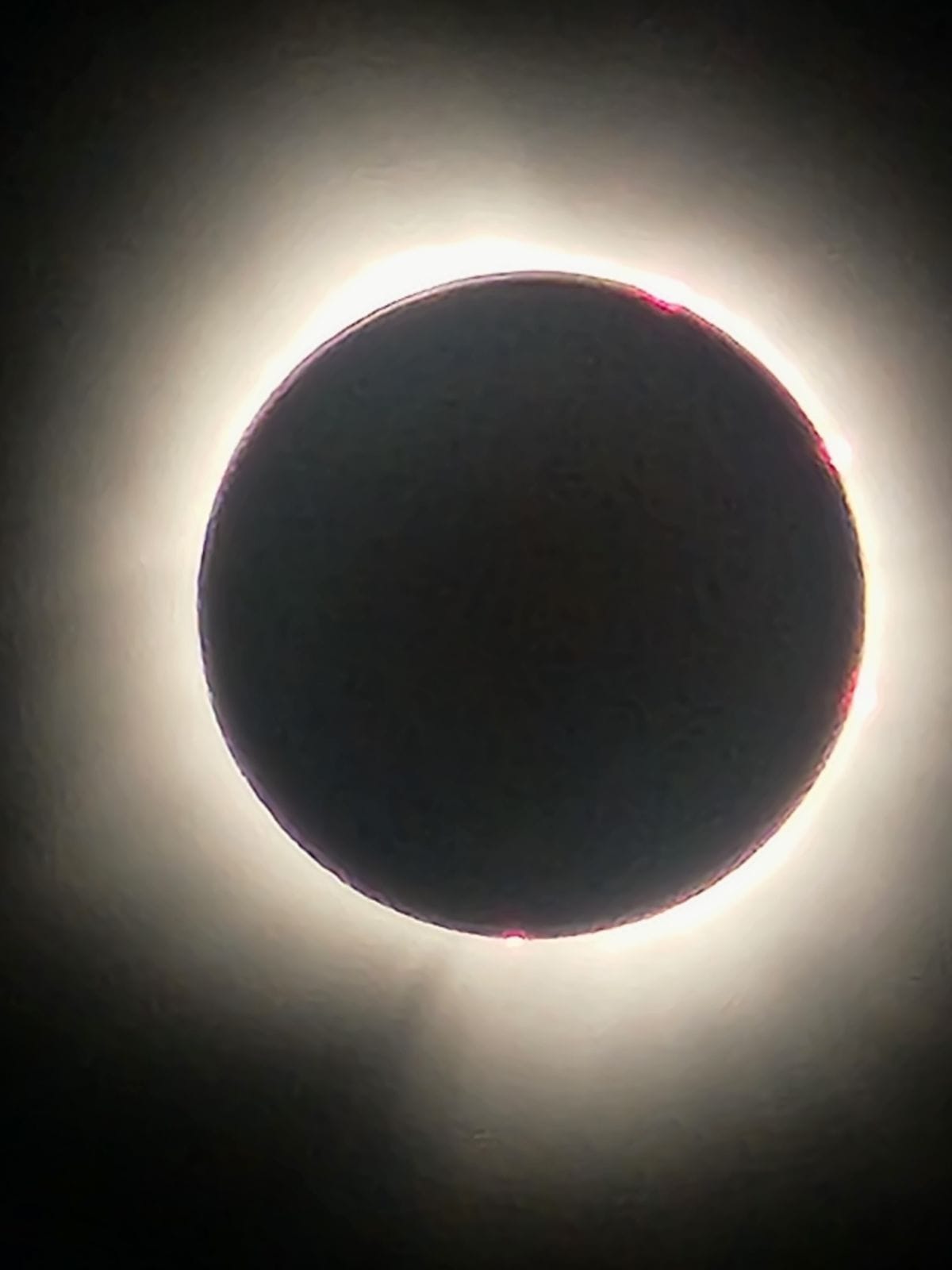
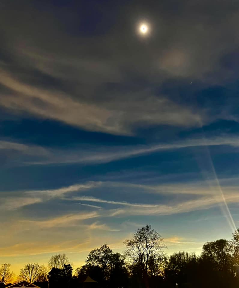
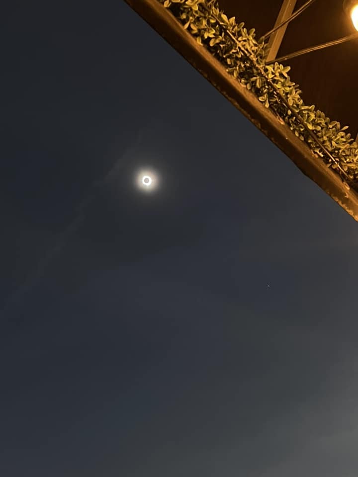
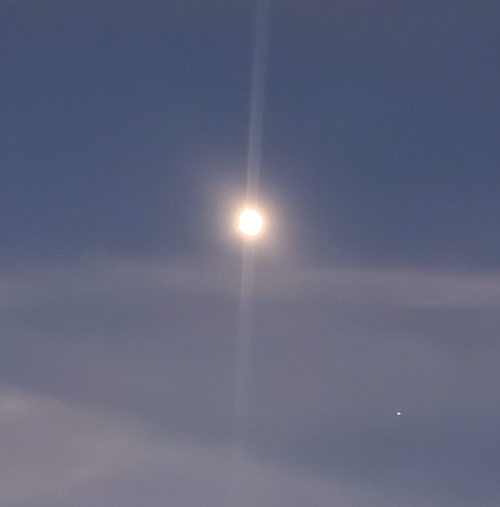
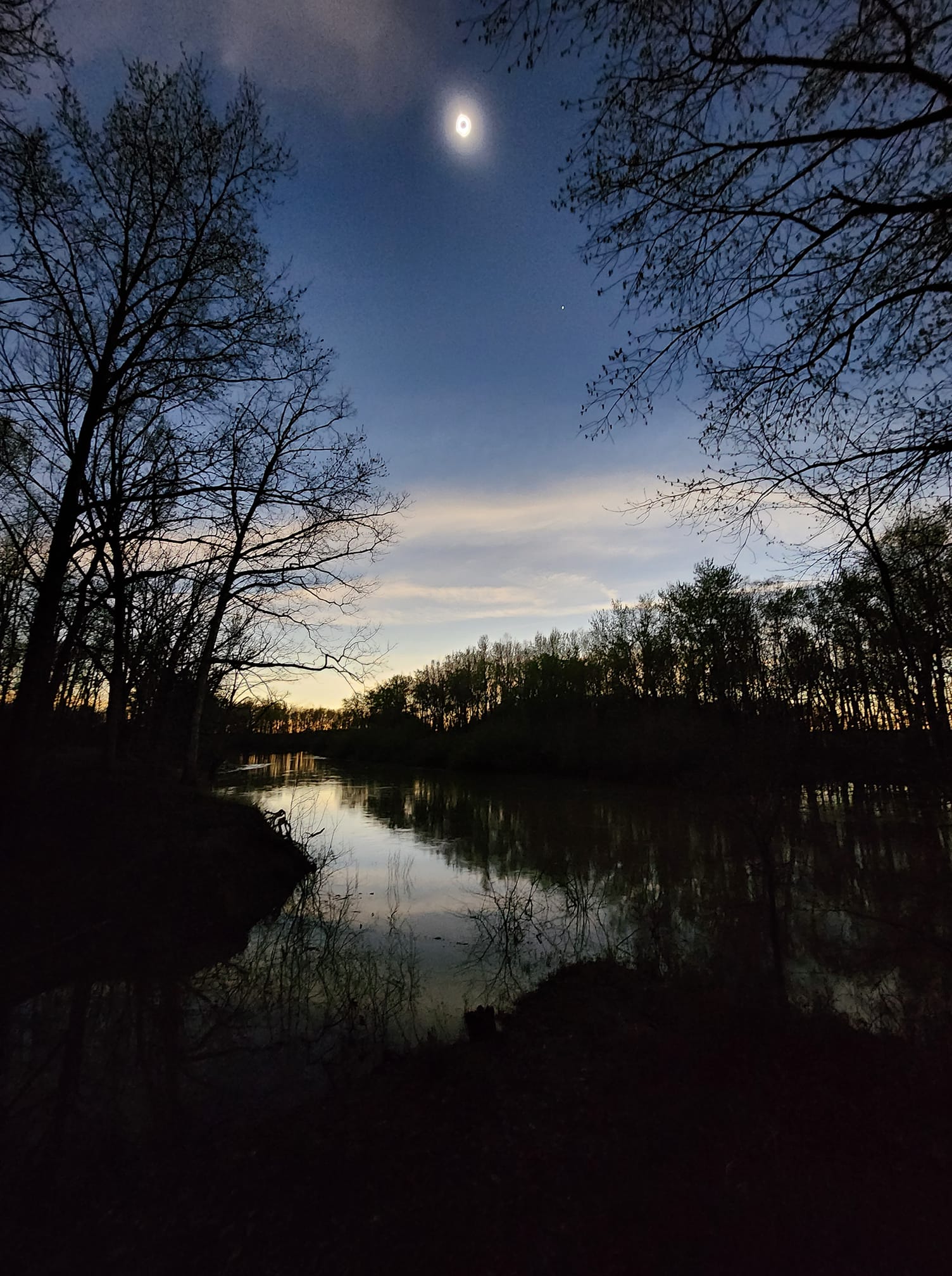
Here's a sampling of photos we have received from around the area. If you'd like to contribute some, please email them to nws.lincoln@noaa.gov and include permission for us to use them on our web site. Thanks!
 Springfield (Brayden Anders) |
 (Breanna Martin) |
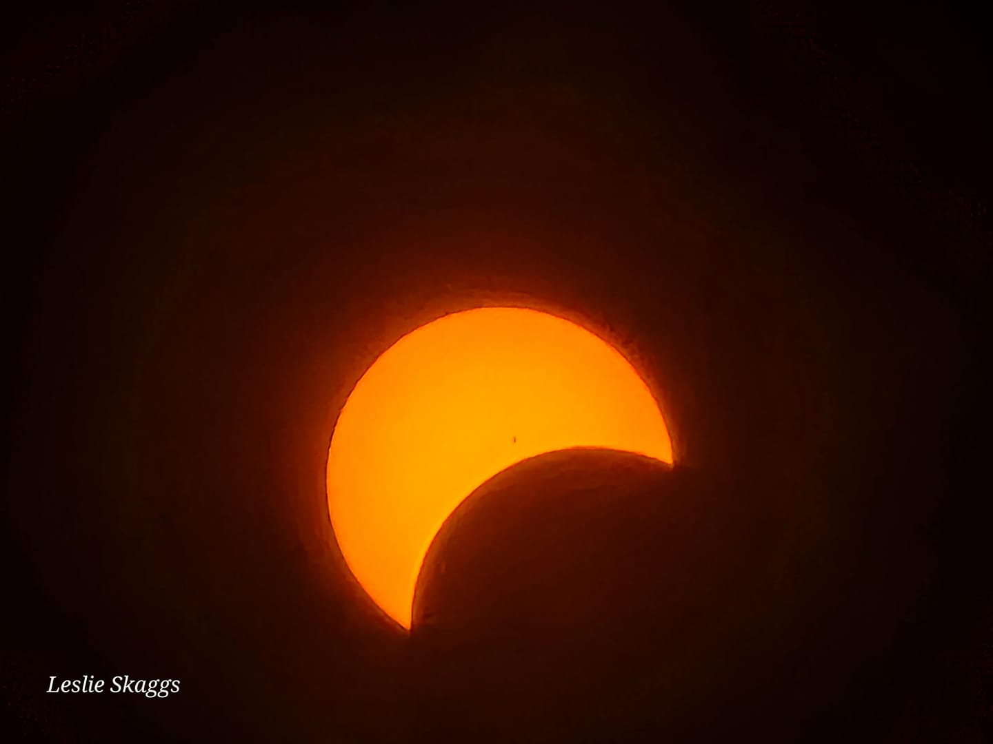 (Leslie Skaggs) |
 Effingham (Jason Howell) |
 (Jonathan Hall) |
 (Keith Moore) |
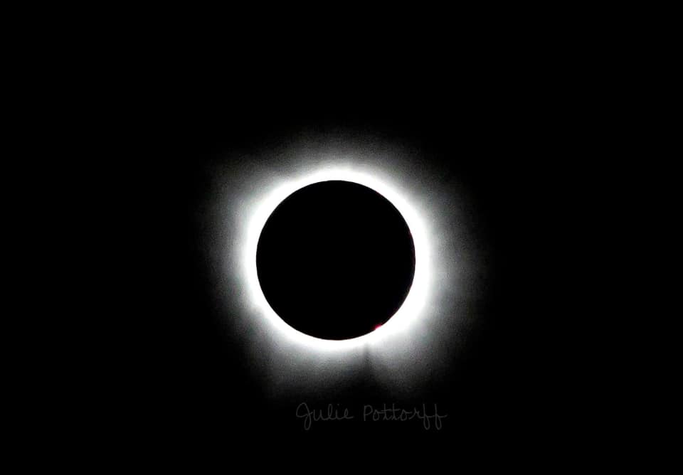 Flora (Julie Pottorff) |
 (Kate Cox) |
 (Kate Nicholas-Elenbaas) |
 Louisville (Tyler Frailey) |
 Olney (Tania Swigart) |
 Mt. Vernon (Tessa Hamilton) |
 Effingham (Tiffany Sams) |
 Casey (Erica Badger) |
 Lawrence County (Joni Davis) |
 Golden Gate (Kelly Burns) |
|
Marshall, IL (Noah Spence) |
Marshall, IL (Noah Spence) |
||
If you missed the chance to see this eclipse, you'll be waiting awhile for the next one.


.png)