Northern Indiana
Weather Forecast Office
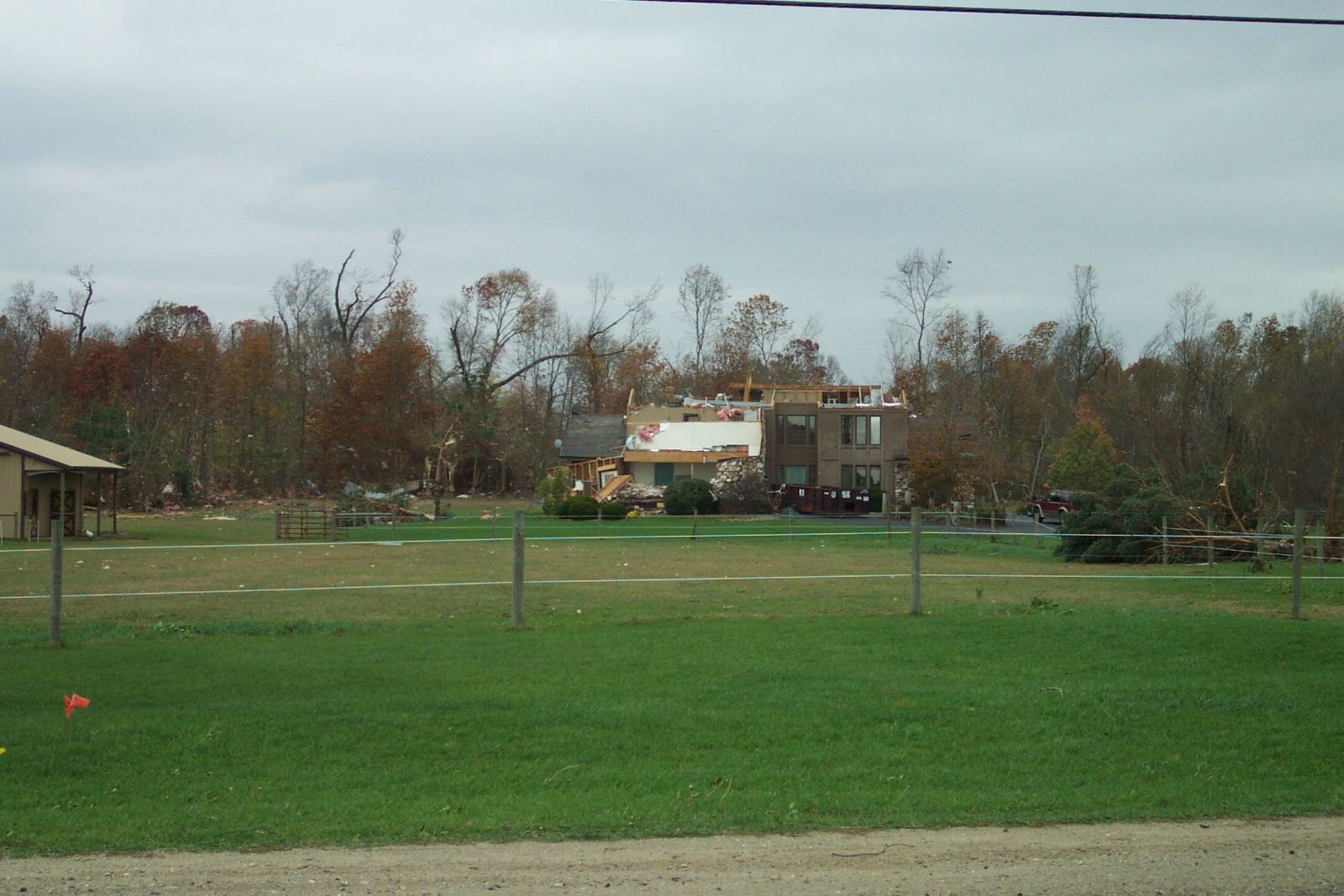
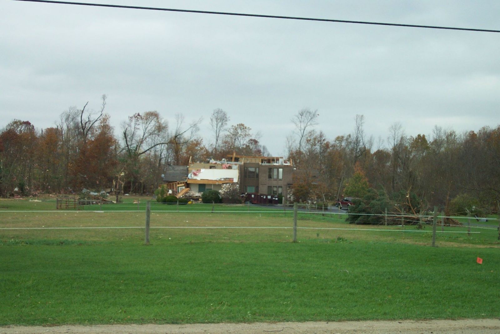
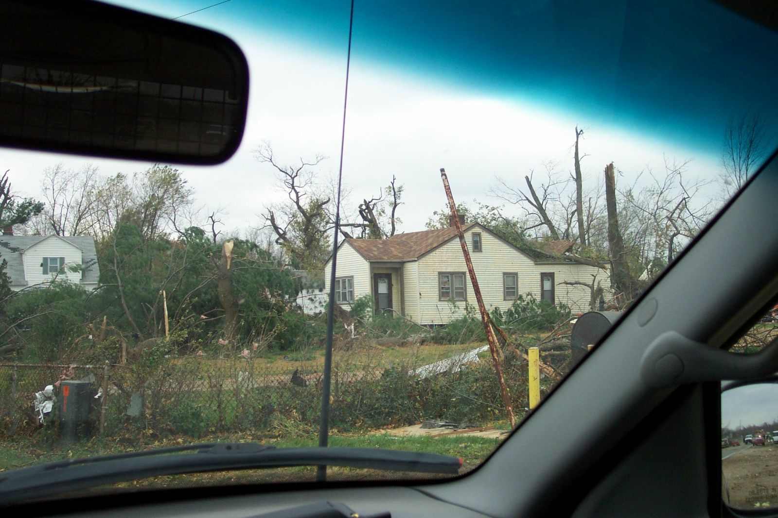
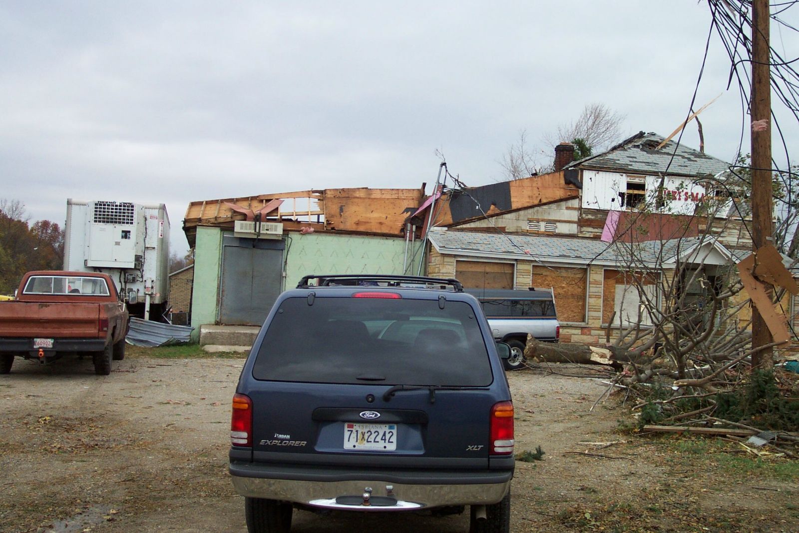
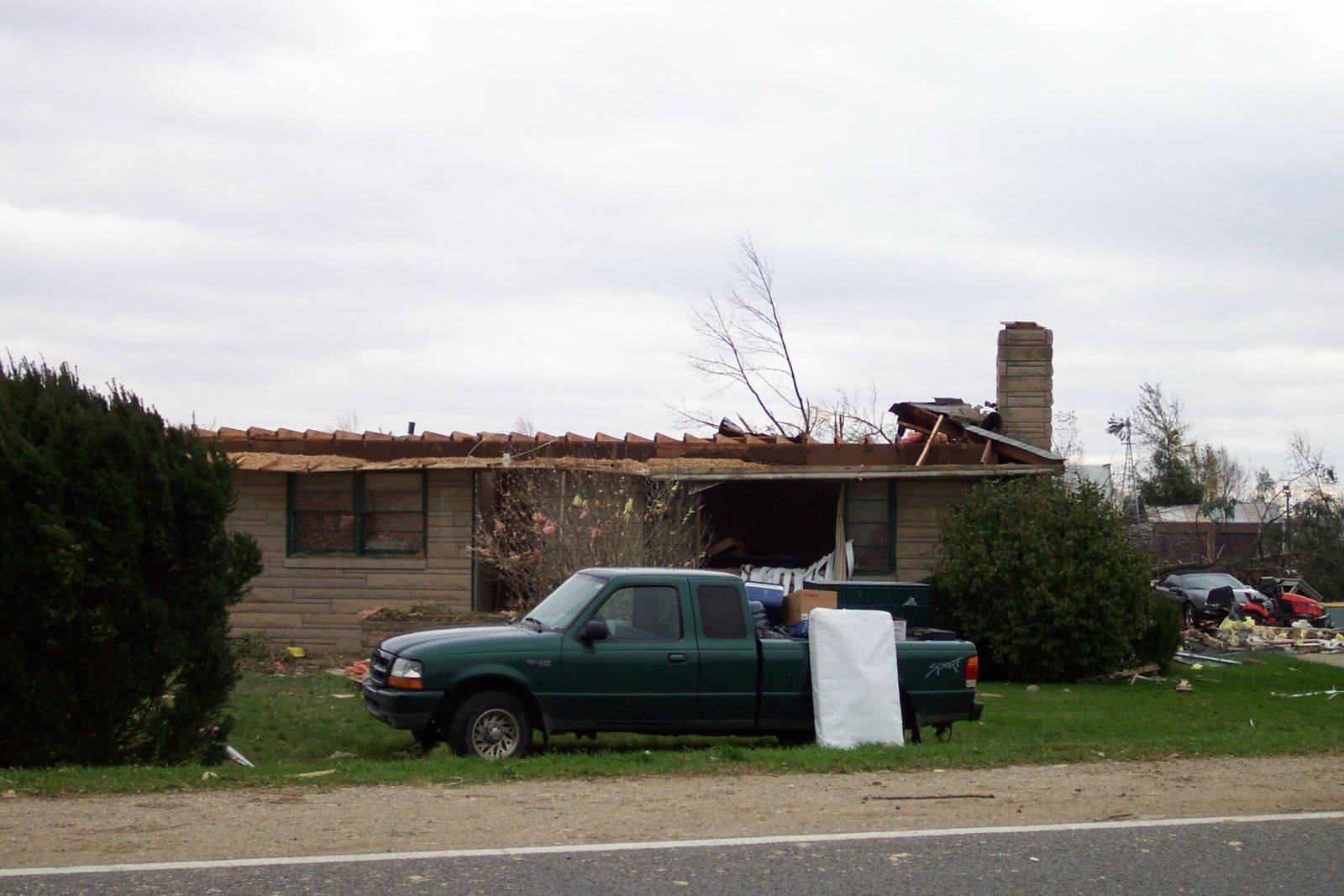
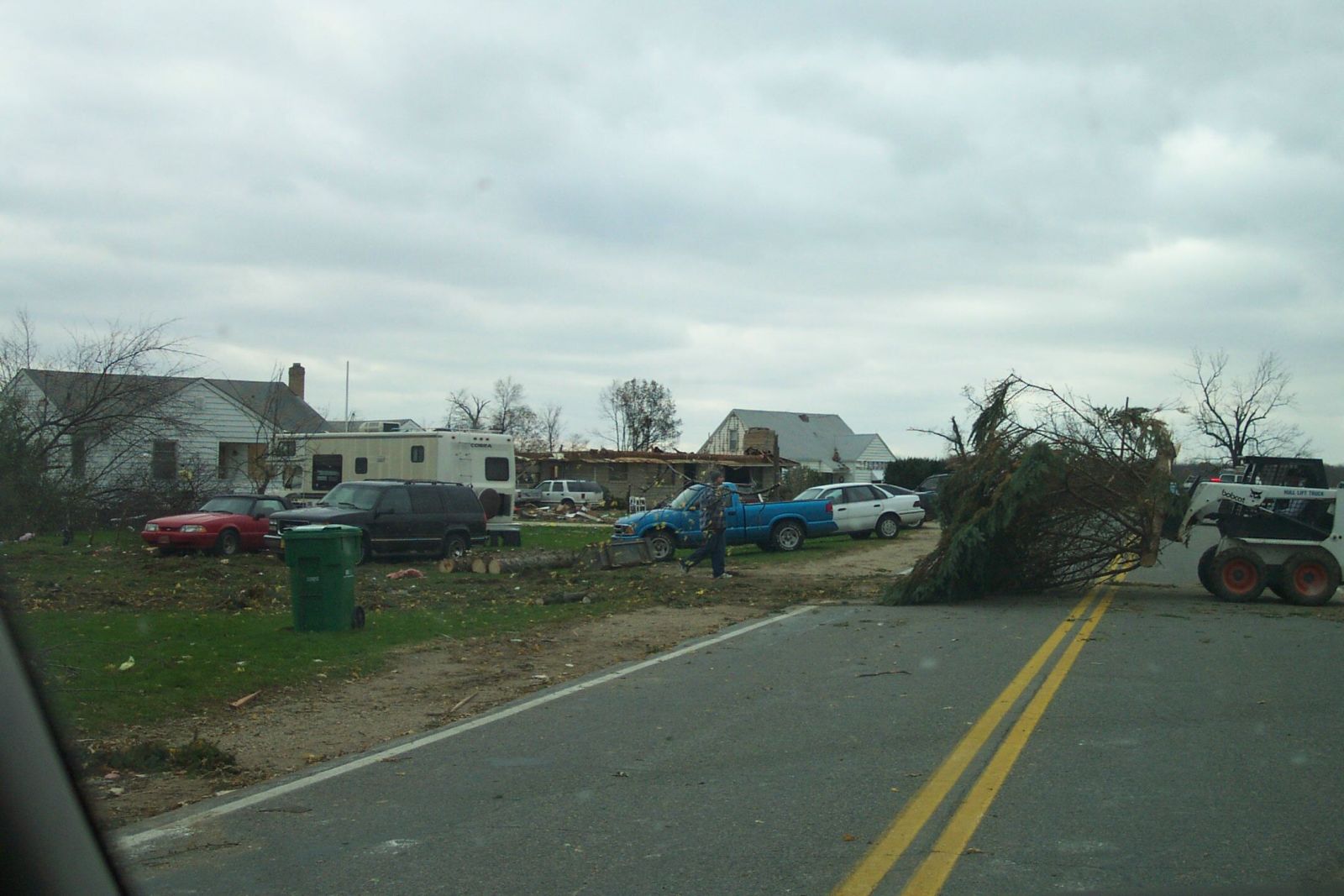
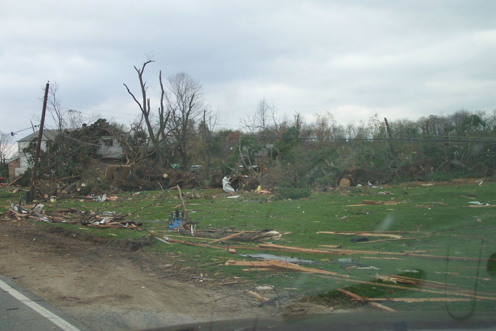
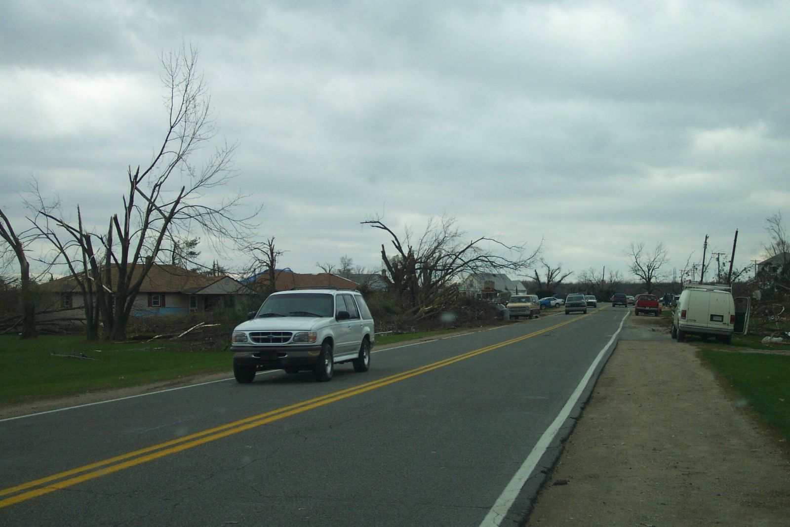
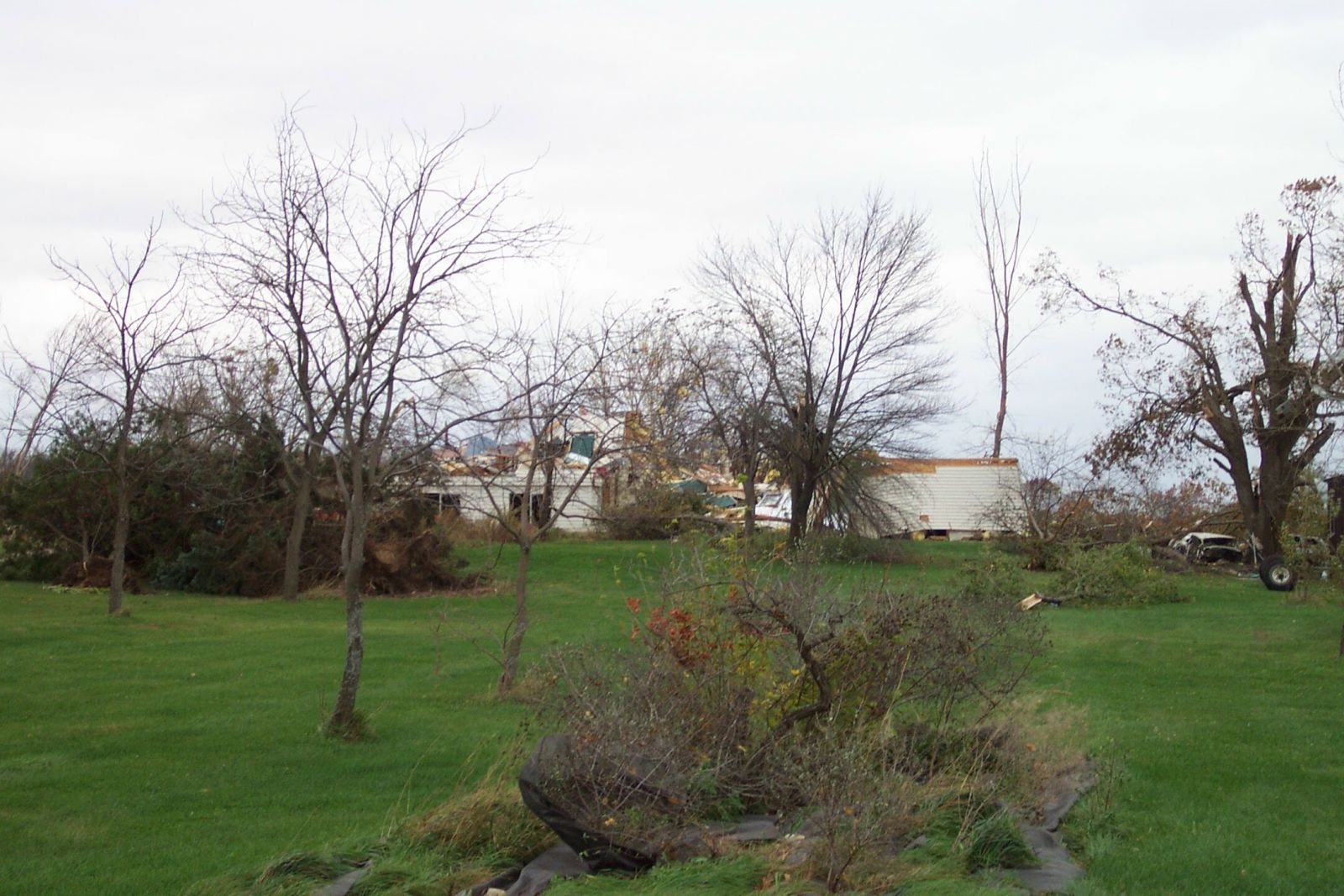
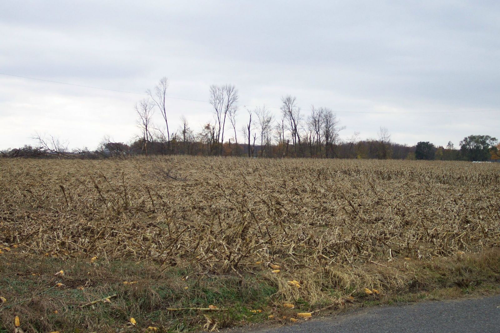
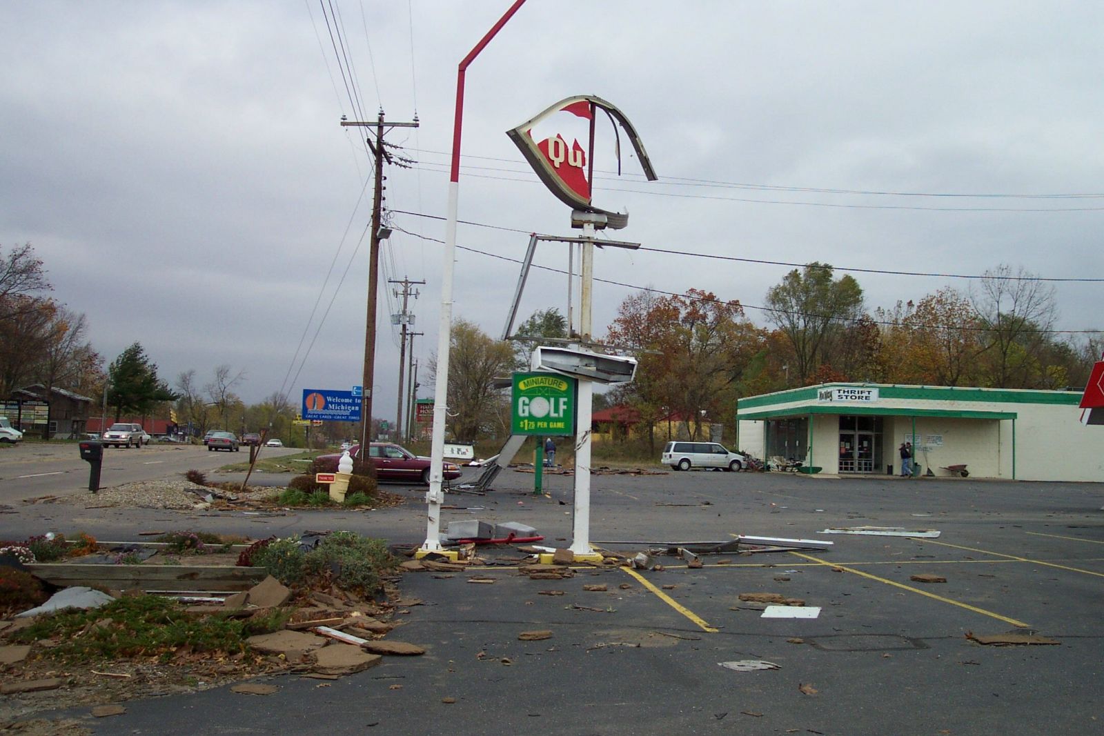
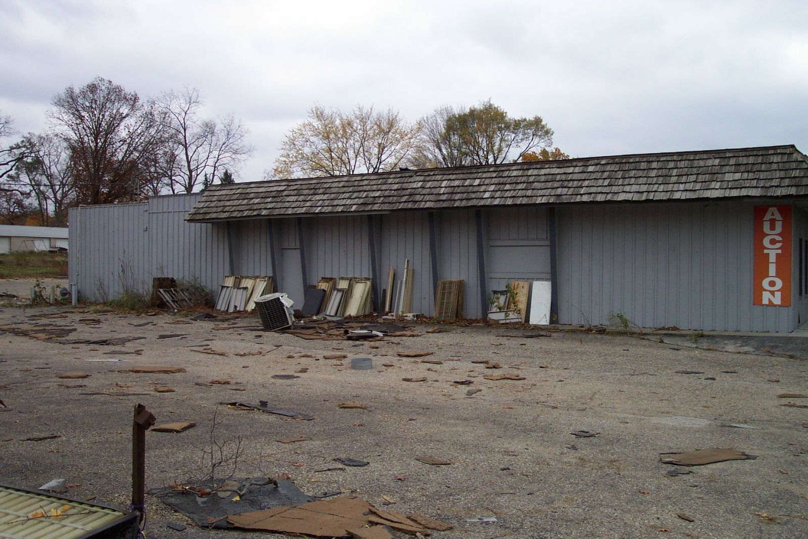
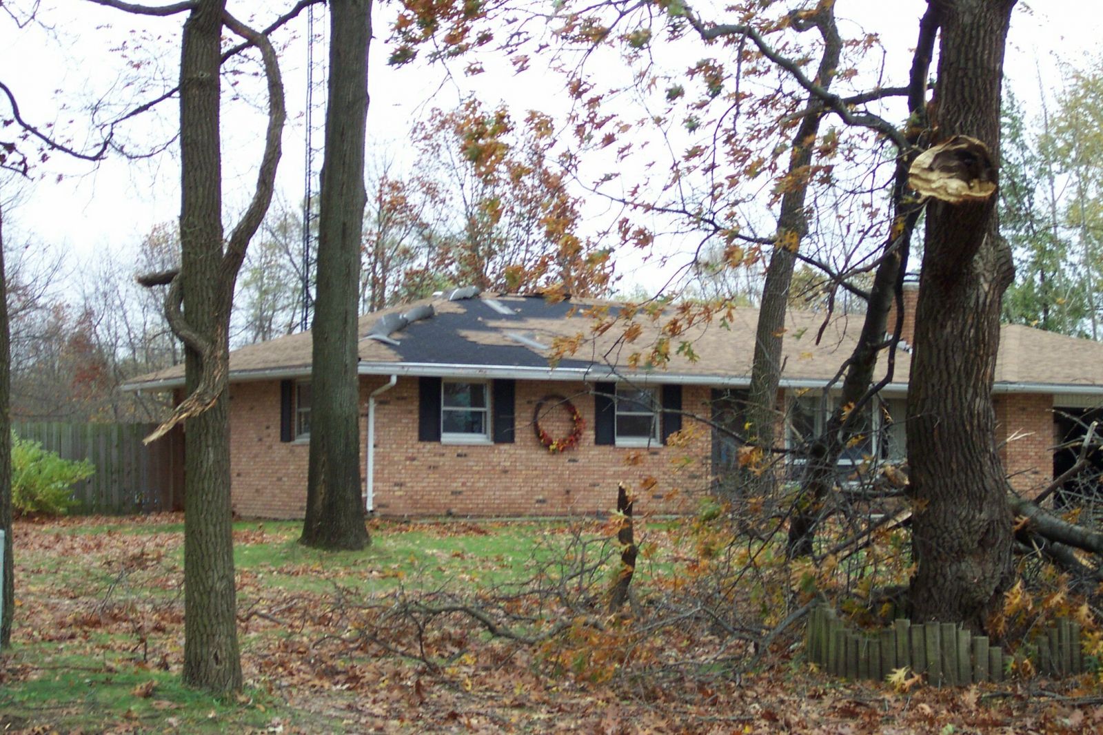
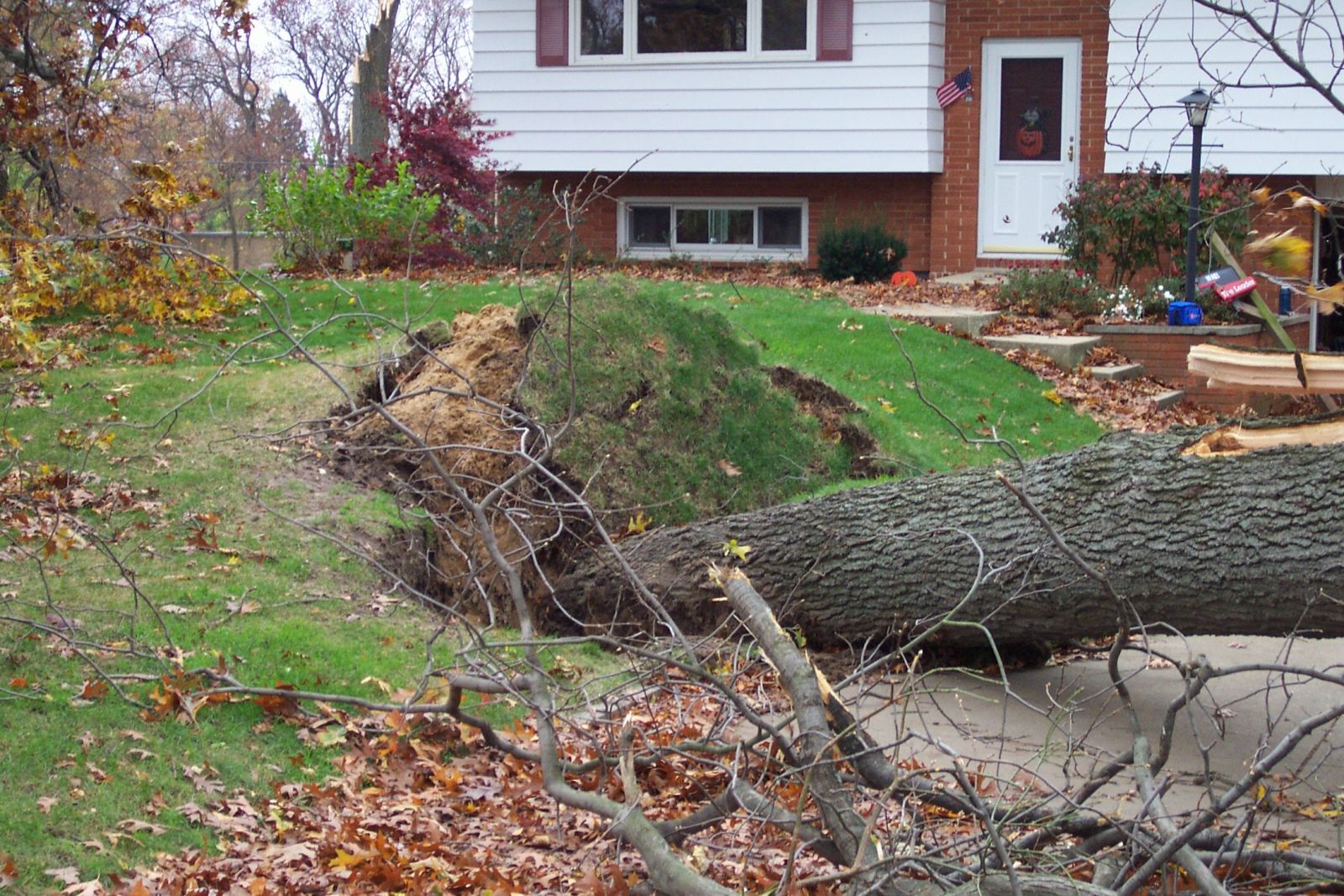
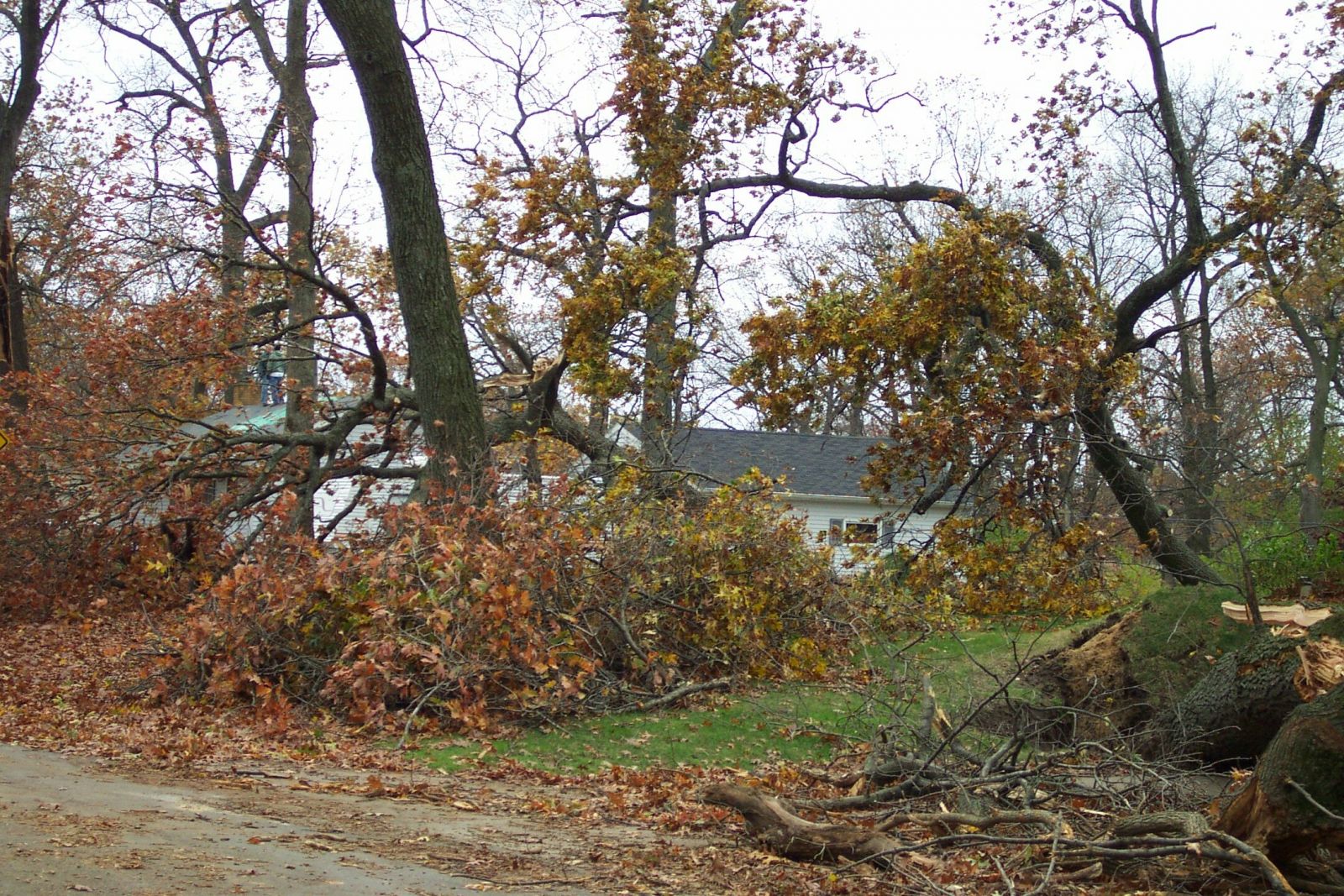
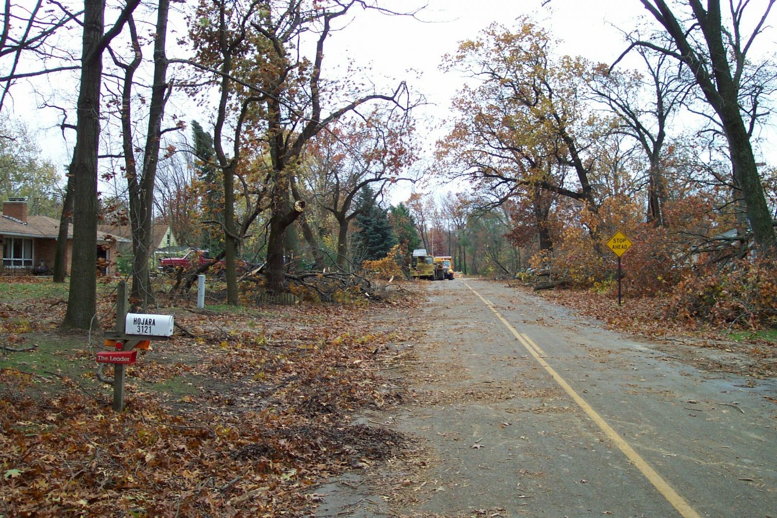
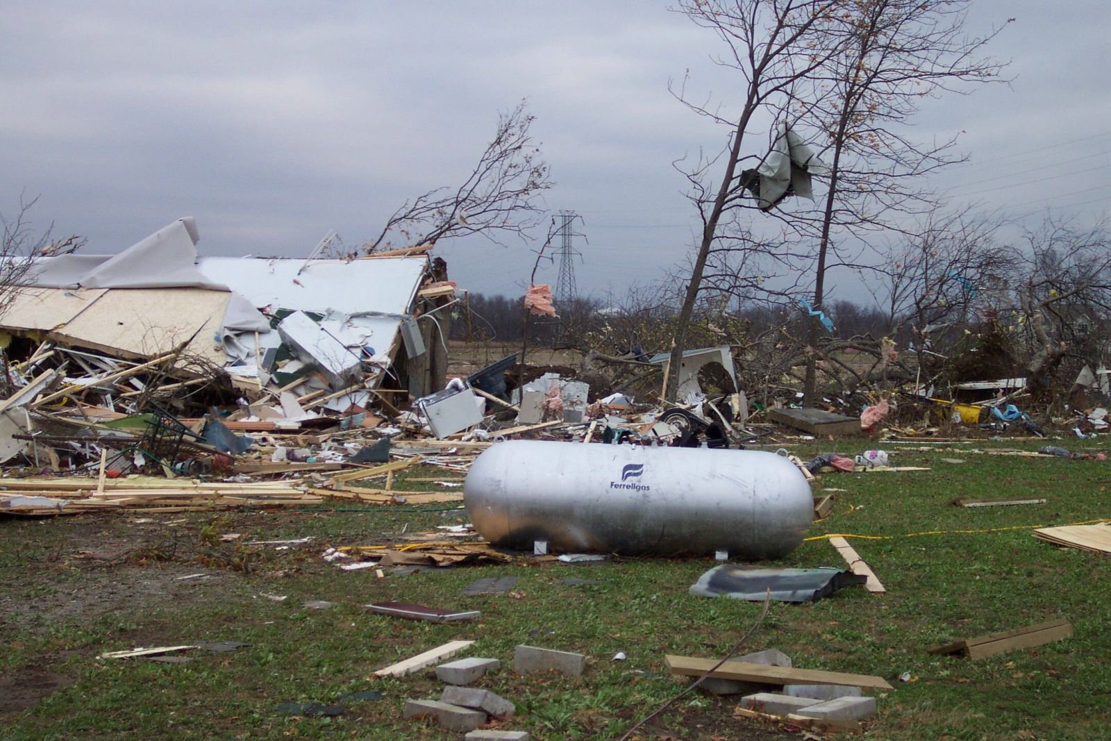
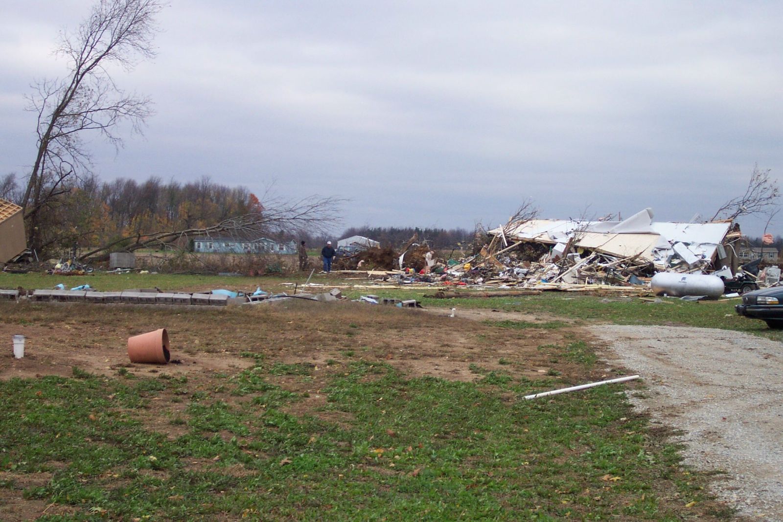
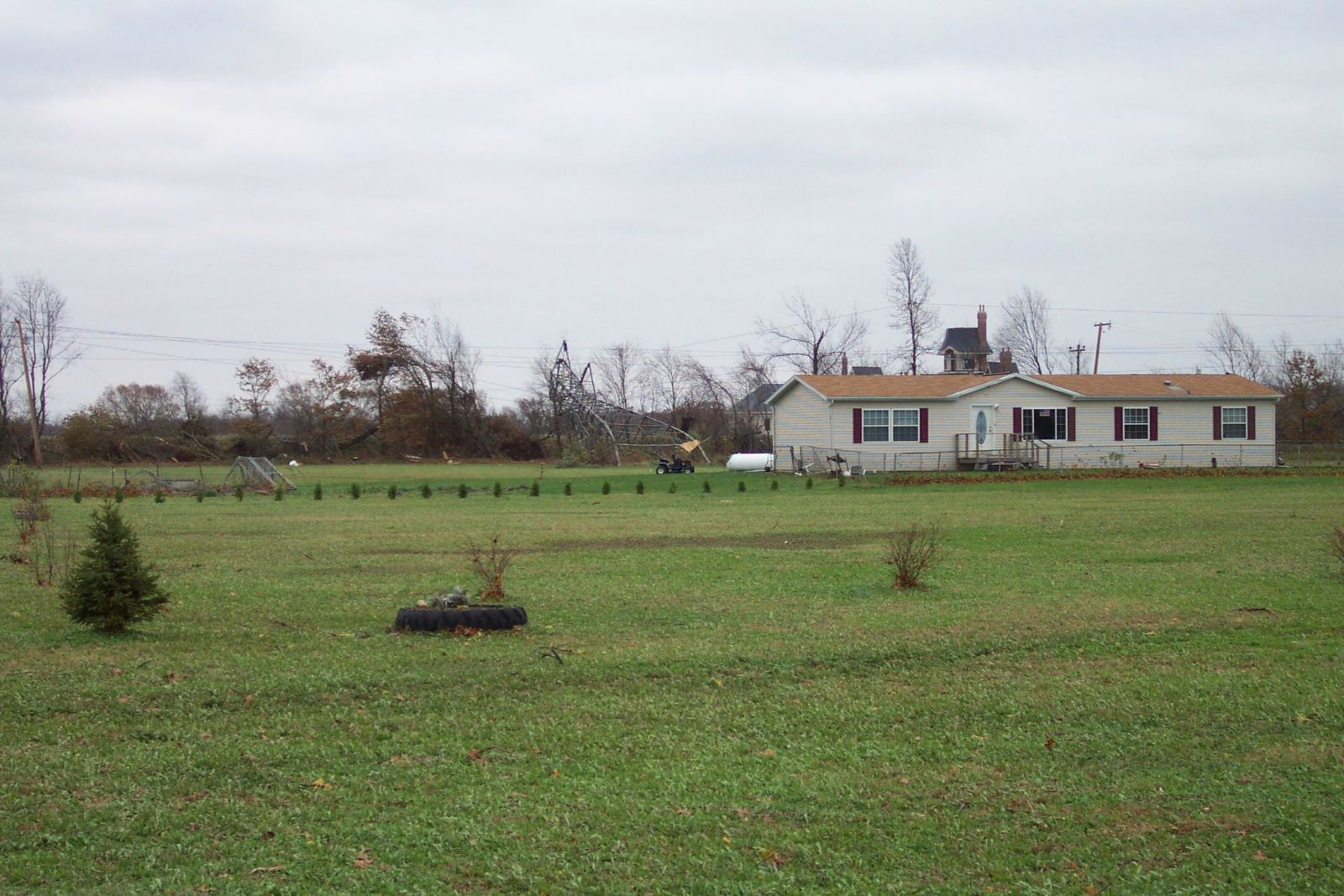
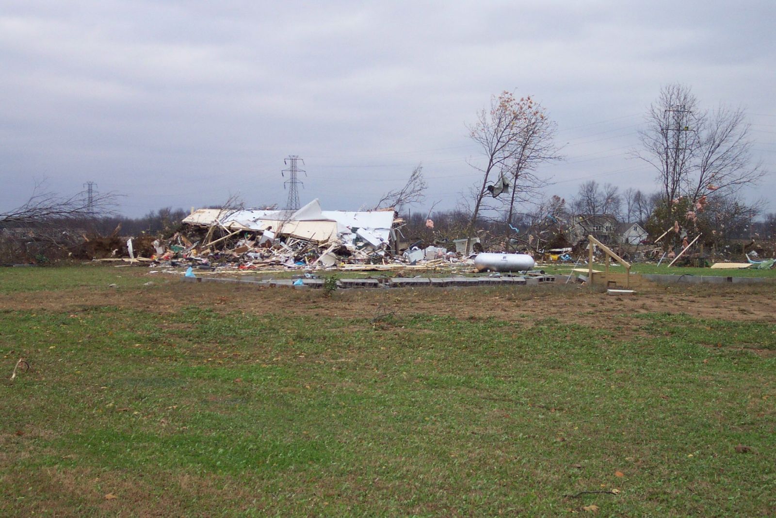
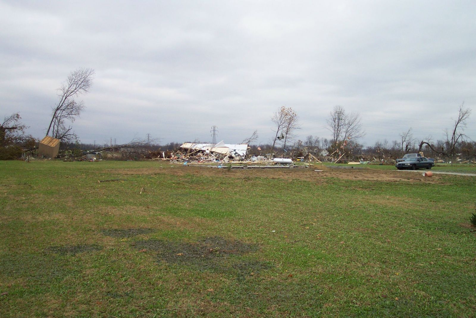
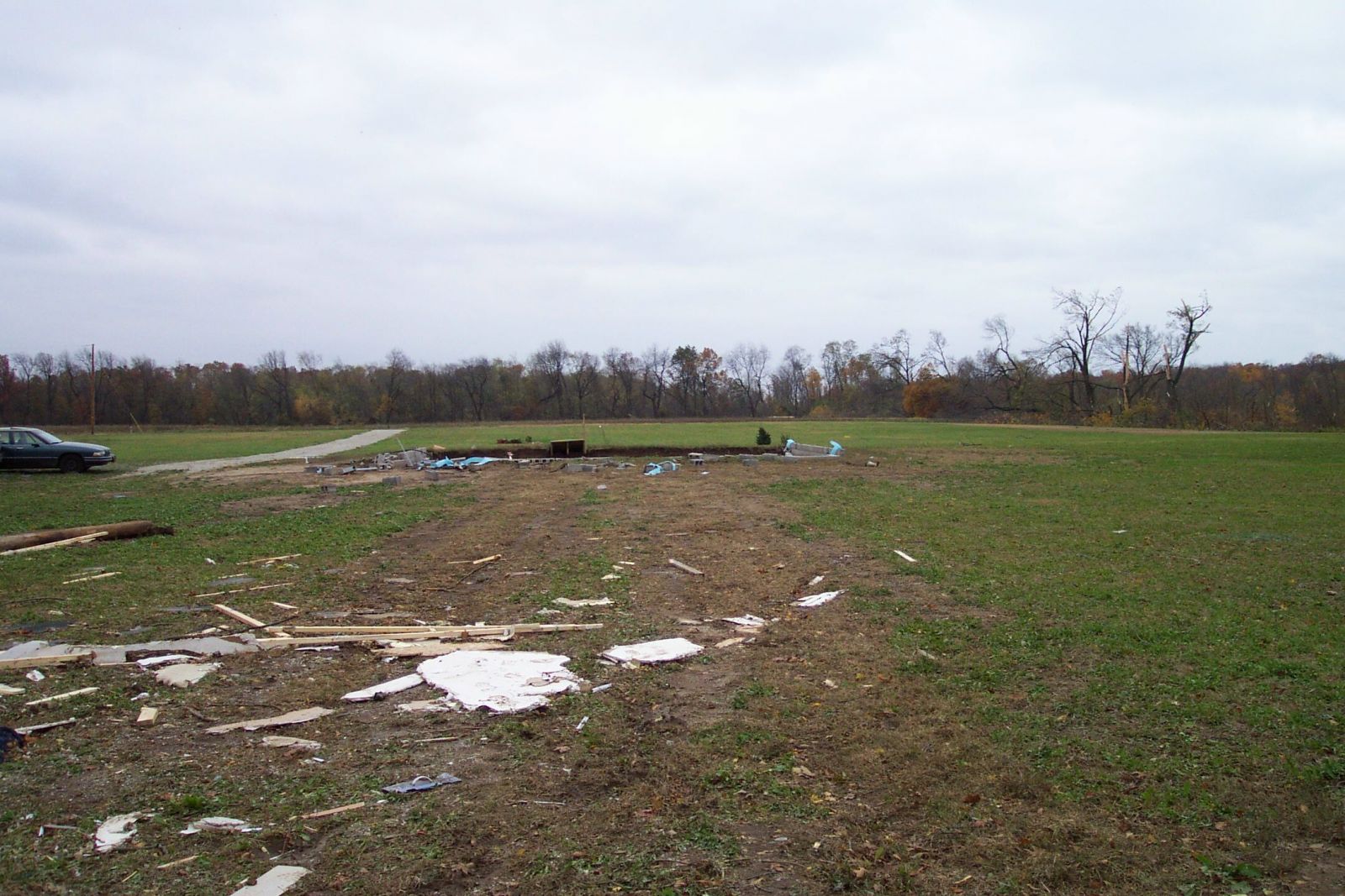
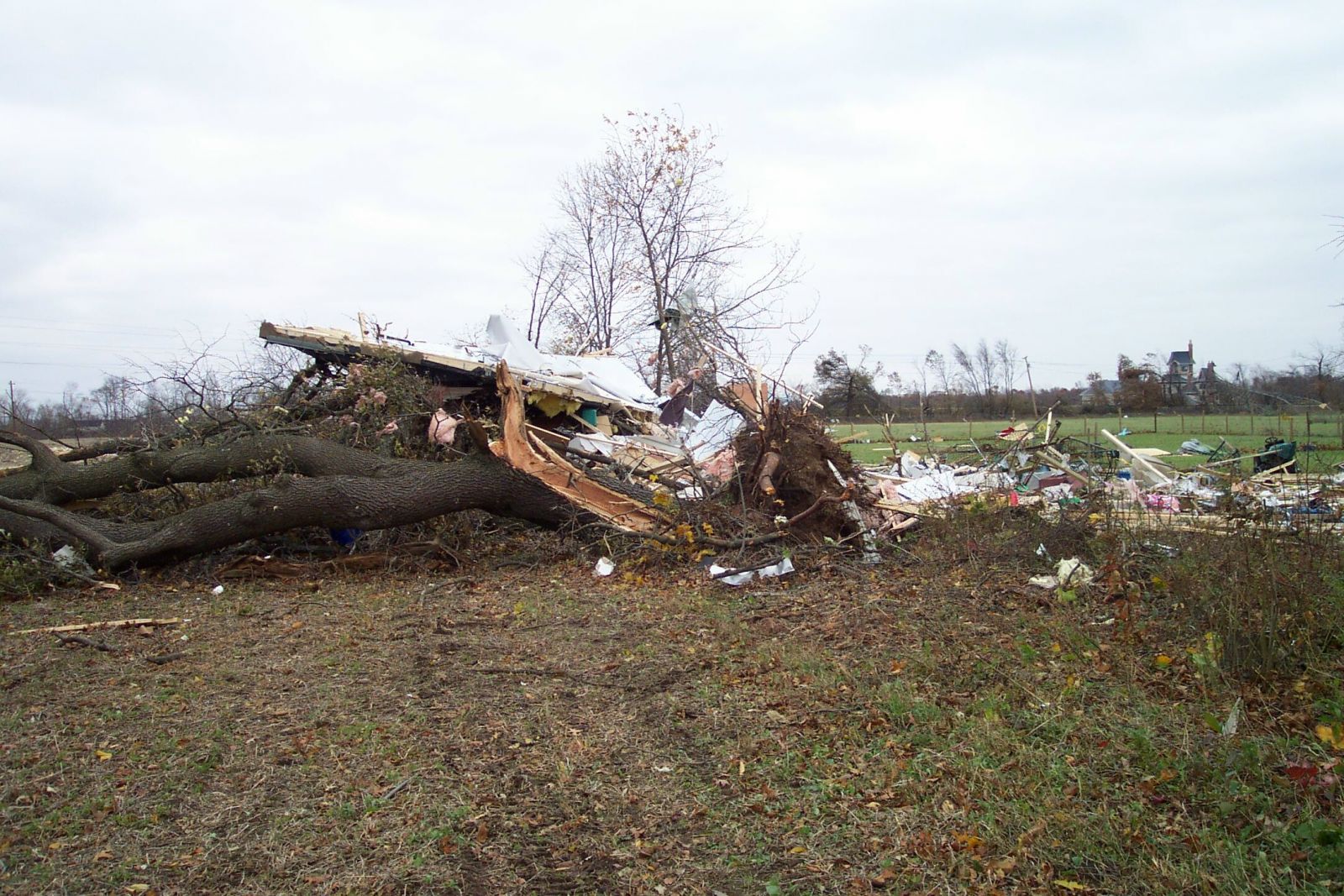
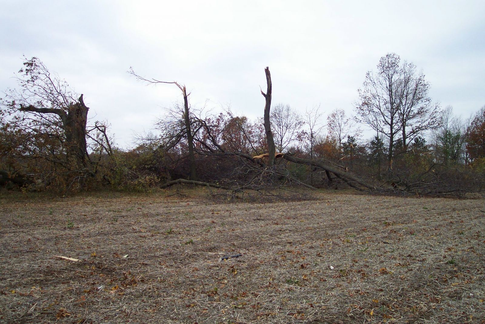
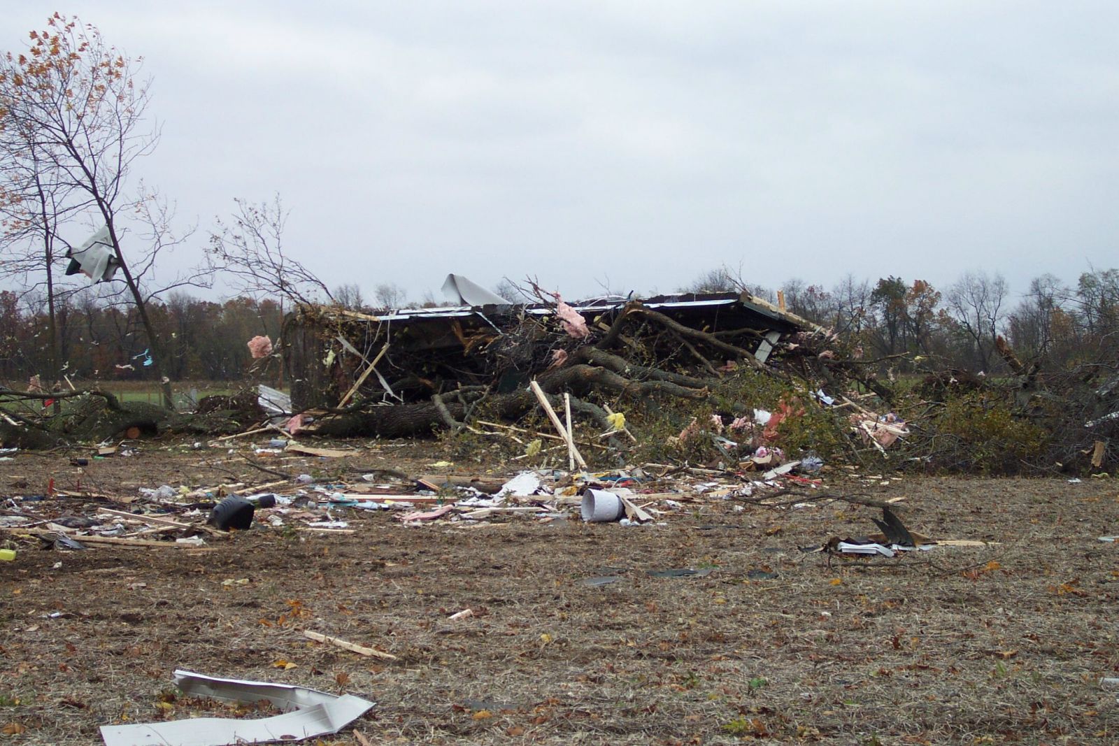
This page contains pictures of the tornadoes of October 24, 2001, and the damage they caused.
LaPorte County, western Saint Joseph County Indiana, Berrien County, Cass County, and St. Joseph County Michigan
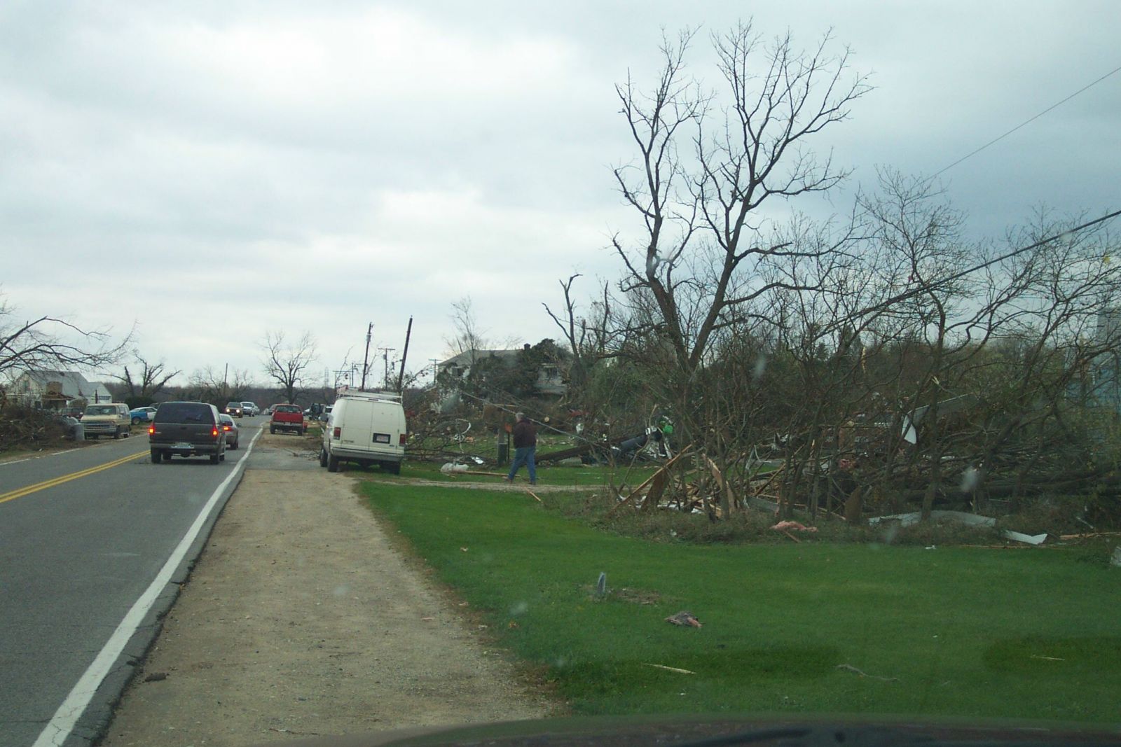
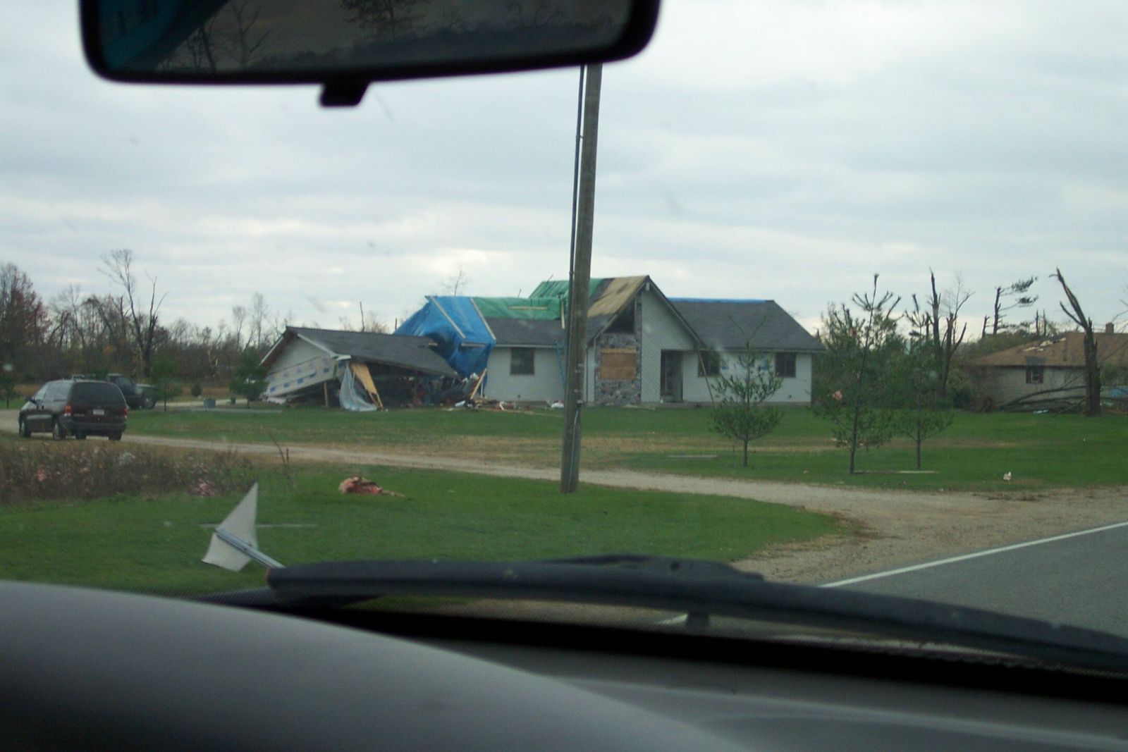
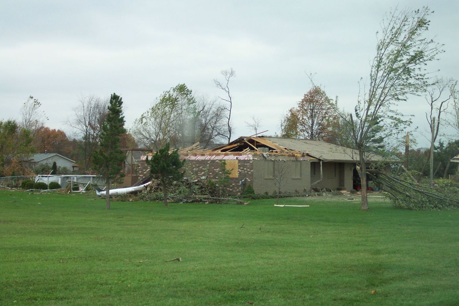
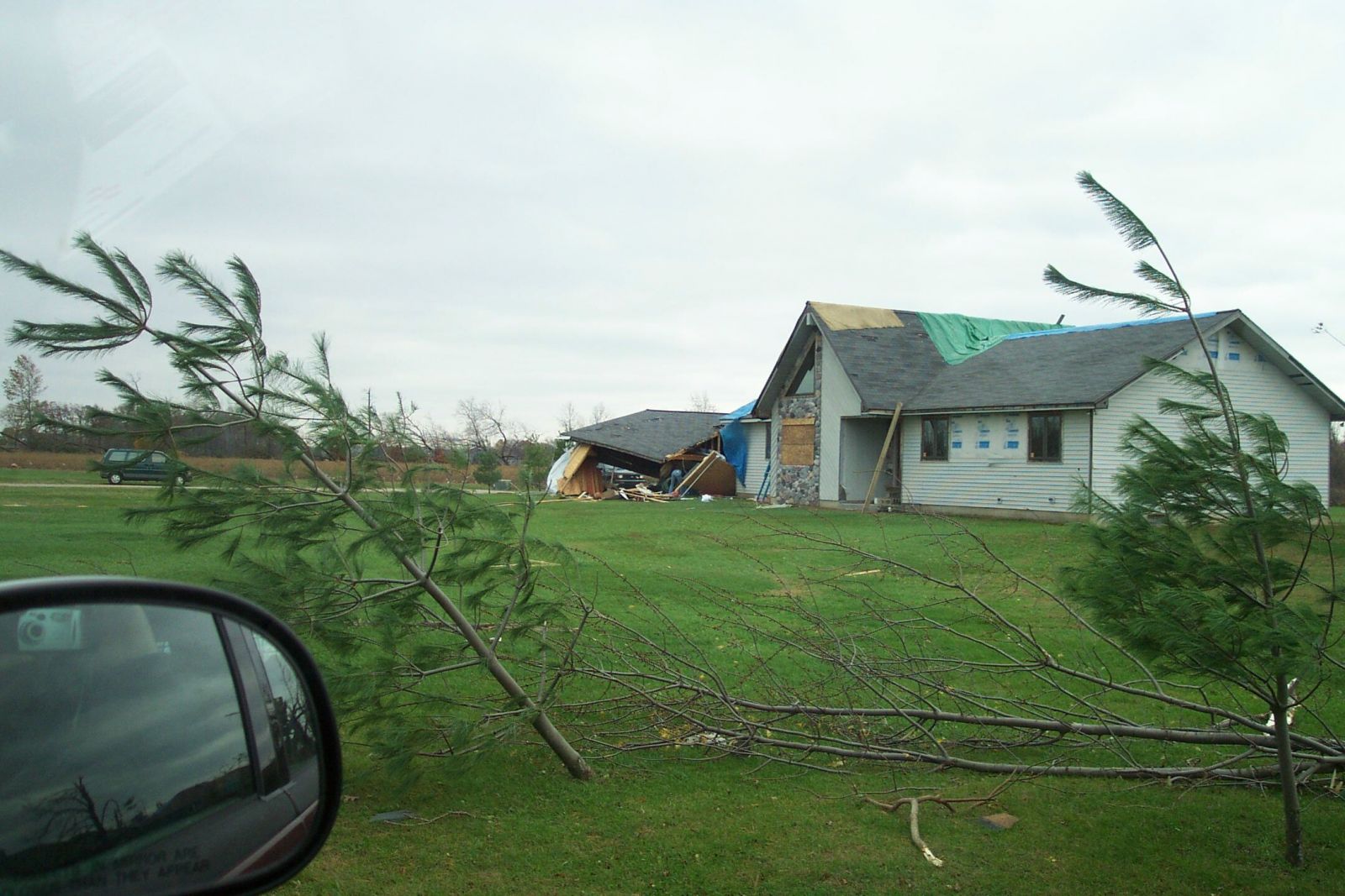
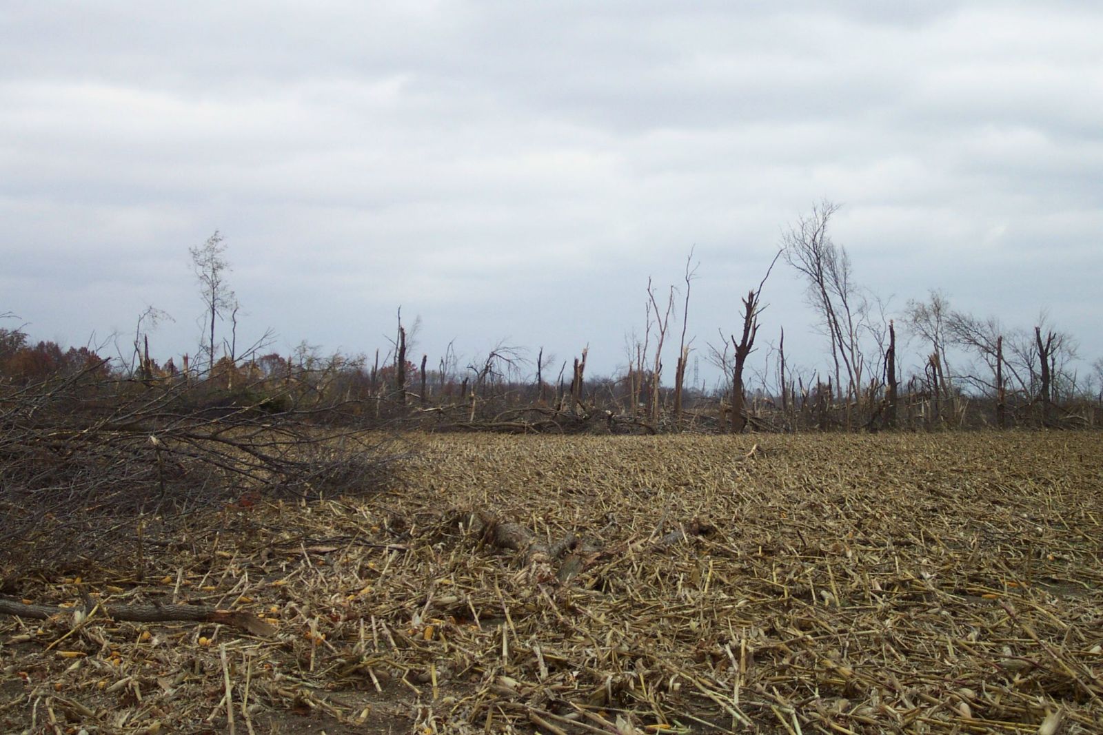
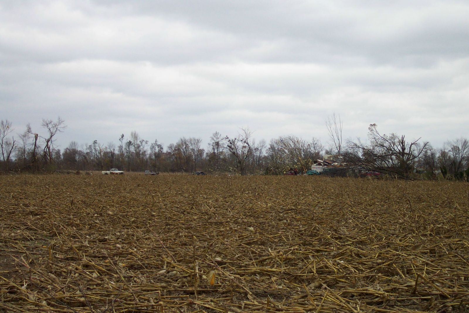
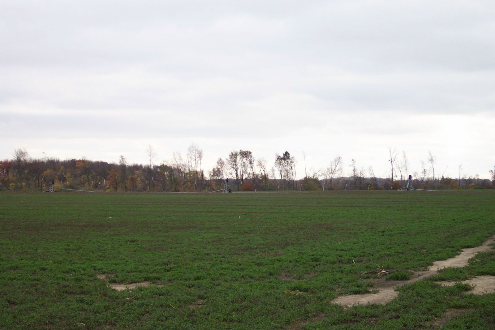
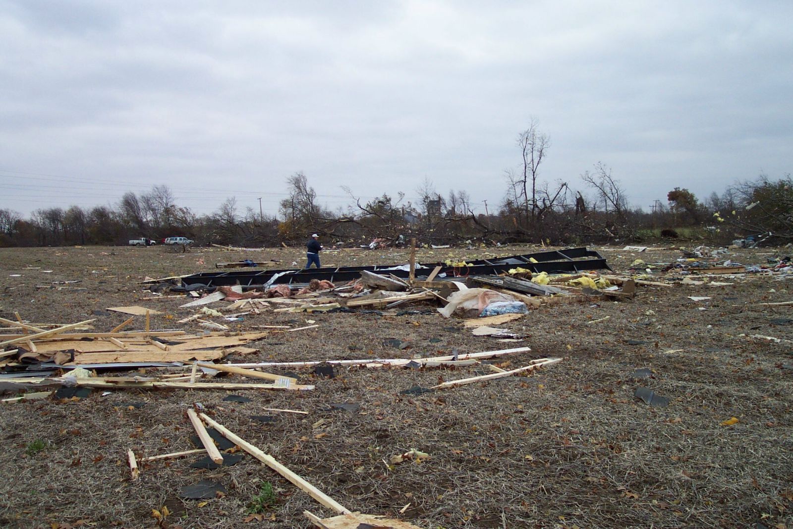
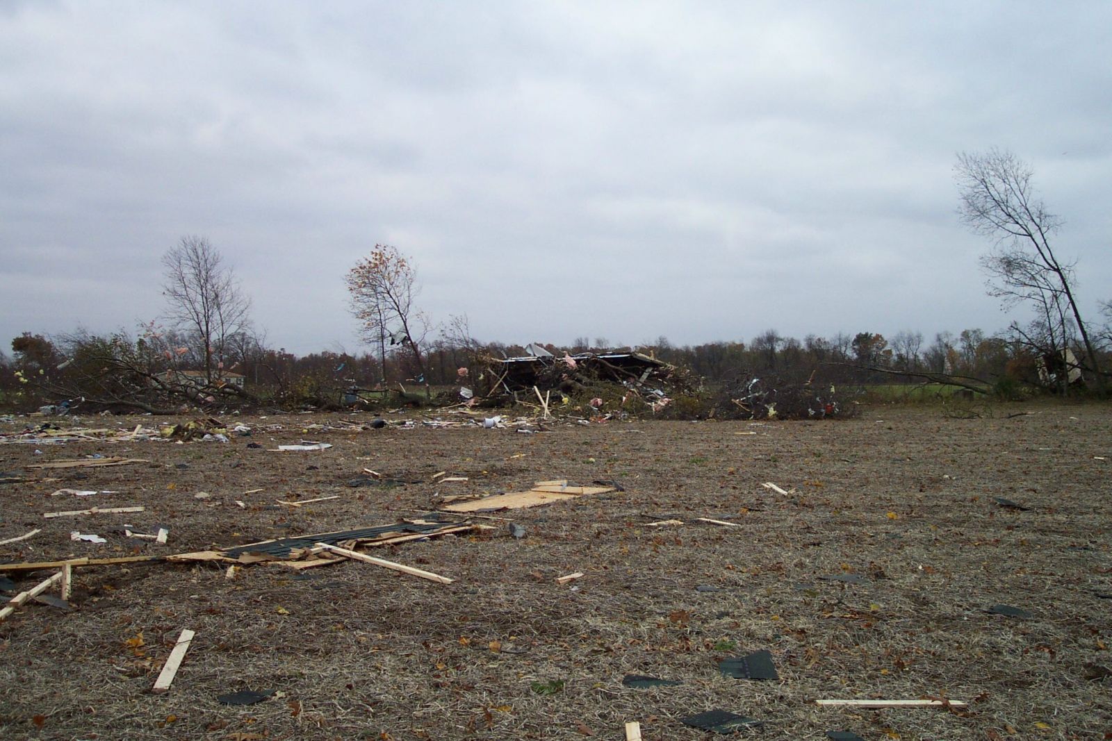
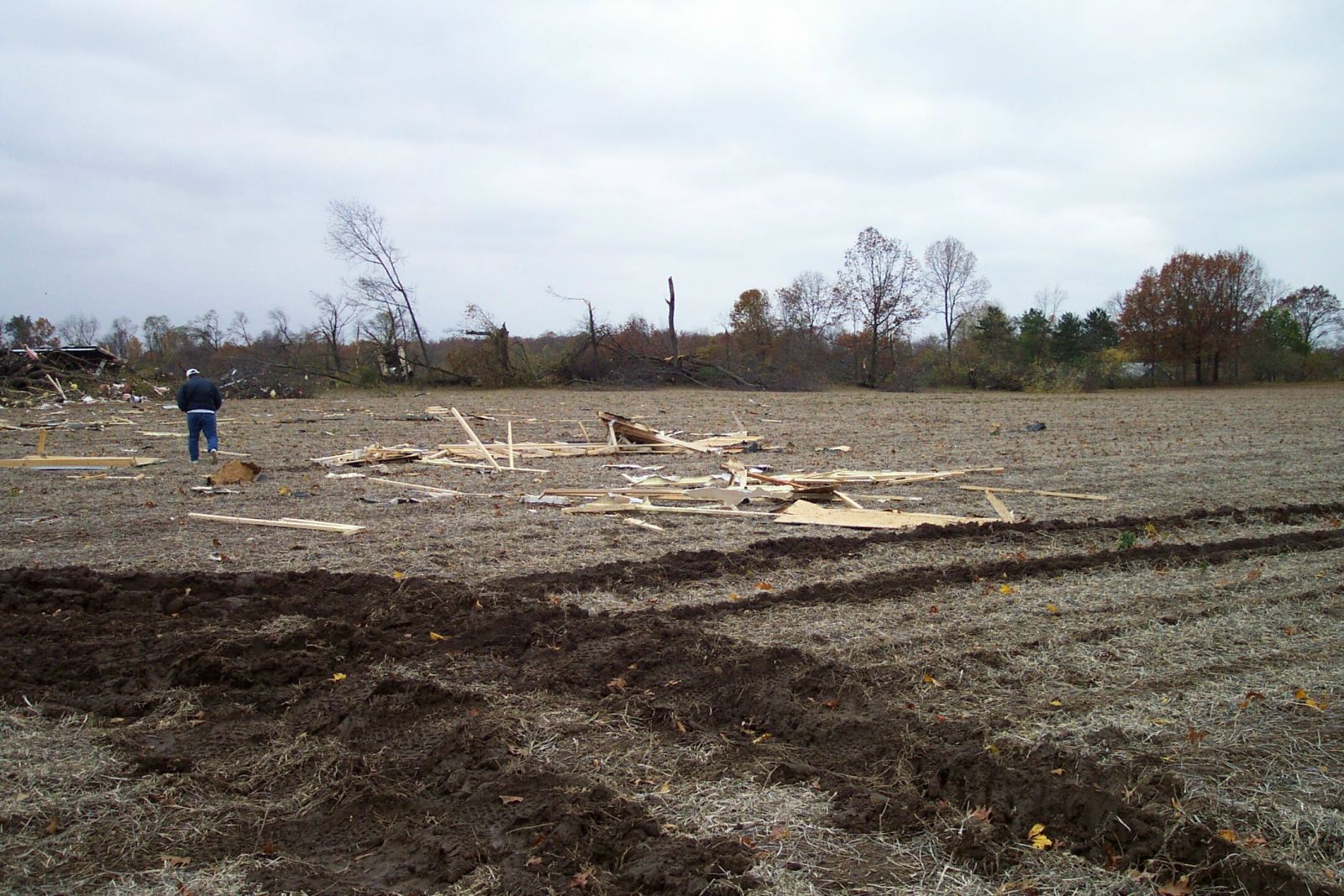
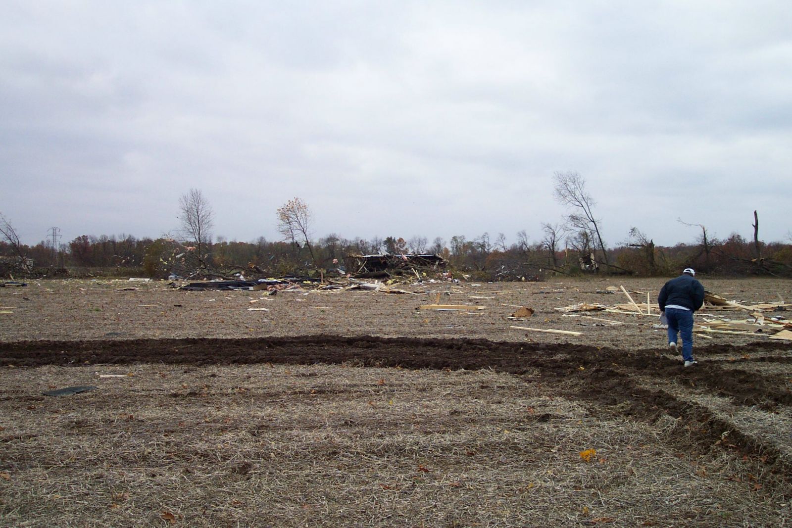
The first tornado touched down near Wanatah at 3:15 p.m. CDT and moved northeast across LaPorte County, lifting in northwest St. Joseph County Indiana near New Carlisle. It was up to a mile wide and had a path length of 35 miles (though the damage was intermittent). It was of F2 strength, and resulted in one fatality when it destroyed a mobile home east of LaPorte.
The next twister touched down near Crumstown in St. Joseph County, Indiana, at 3:50 p.m. The tornado moved northeast, striking Michiana Regional Airport where an anemometer recorded a wind gust of 90 m.p.h. (F1 wind speed), crossed the southeast corner of Berrien County near Nile, and then skipped diagonally across Cass County Michigan from Edwardsburg through Cassopolis...to the northwest corner of St. Joseph County at Howardsville. The storm was at its worst at Crumstown where F3 damage was done. A man died the following January from injuries he sustained when the tornado knocked a wall onto him on the west side of South Bend. The path length was 47 miles (intermittent), maximum width was 3/4 mile.

Hazards
Heat Related
Winter Related
Watch/Warning
Outlook
Storm Reports
Storm Prediction Center
Submit a Report
Event Ready
Climate
FWA Daily
SBN Daily
FWA Monthly
SBN Monthly
CoCoRaHS
Spring Frost Climatology
Fall Frost Climatology
Severe Climatology
Local Information
Skywarn
COOP
Our Office
WSR-88D
Headline Criteria
NOAA Weather Radio
Weather History
Probabilistic Snowfall
Public Information Statement
Social Media Feeds
Weather Events Page
US Dept of Commerce
National Oceanic and Atmospheric Administration
National Weather Service
Northern Indiana
7506 E 850 N
Syracuse, IN 46567
574-834-1104
Comments? Questions? Please Contact Us.

