Northern Indiana
Weather Forecast Office
|
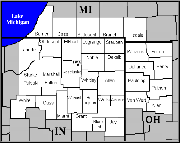
Storm Data for the Northern Indiana County Warning Area Storm Data and Unusual Weather Phenomena contains a chronological listing of tornadoes, thunderstorms, hail, floods, drought conditions, lightning, high winds, snow, temperature extremes and other weather phenomena. The reports are provided by the National Weather Service and contain statistics on personal injuries and damage estimates. STORM DATA is a publication of the National Climatic Data Center (NCDC). The publications listed below are available in Portable Document Format (PDF). The PDF Viewer is required to view and/or print these files. IMPORTANT: These reports are preliminary, unofficial, and uncertified. For official, certified reports, please contact the National Climatic Data Center (NCDC) by calling (828) 271-4800 or by e-mail to NCDC. The storm data listed in the form below are annual summaries of all preliminary storm reports in the NWS Northern Indiana county warning area since 1997. If you require data that is beyond that period, please contact the National Climatic Data Center. |
|
Archive of Past Annual Storm Data |
Hazards
Heat Related
Winter Related
Watch/Warning
Outlook
Storm Reports
Storm Prediction Center
Submit a Report
Event Ready
Climate
CoCoRaHS
FWA Daily
SBN Daily
FWA Monthly
SBN Monthly
Cliplot
Spring Frost Climatology
Fall Frost Climatology
Severe Climatology
Tornado Climatology
Local Information
Public Information Statement
Probabilistic Snowfall
Storm Data
Skywarn
COOP
Our Office
WSR-88D
Headline Criteria
NOAA Weather Radio
Weather History
Social Media Feeds
Weather Events Page
US Dept of Commerce
National Oceanic and Atmospheric Administration
National Weather Service
Northern Indiana
7506 E 850 N
Syracuse, IN 46567
574-834-1104
Comments? Questions? Please Contact Us.

