
Heavy to excessive rainfall could bring areas of flooding at times Monday through Thursday across parts of the central Plains into the Midwest as well as southern Arizona and New Mexico. Hot temperatures and high humidity will continue across much of east Texas into the lower and mid-Mississippi Valley through at least midweek. Read More >
Last Map Update: Sun, Sep 13, 2026 at 9:36:40 pm MDT
|
Text Product Selector (Selected product opens in current window)
|
|





 MRMS Radar
 Satellite
 Current Weather
 Winter Weather
 Forecast Discussion
 Montana Weather
 Recreation
 PacNW Satellite
 Probabilistic Precipitation Forecast
 Probabilistic Winter Storm Severity
 Fire Weather
 Backcountry and Avalanche Weather
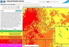 HeatRisk
 Drought
 Rivers
 Month Charts
 Smoke Forecast
 Storm Prediction Center
 Follow us on X
 Follow us on Facebook
 Follow us on YouTube
 MSO RSS Feed