
Widespread life-threatening flash and urban flooding continues in south-central Texas, with considerable flooding impacts possible across central Texas. Wildfire smoke is impacting air quality across much of the Great Lakes region into southern New England and the Mid-Atlantic. Monsoonal thunderstorms may produce isolated to scattered flash flooding across the Southwest into the Great Basin. Read More >
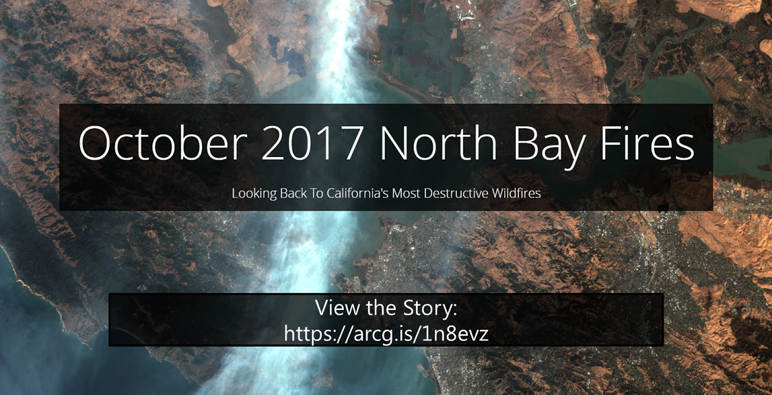
A series of destructive and deadly wildfires ignited overnight October 8-9, 2017, impacting thousands upon thousands of residents throughout the North Bay in California. The four major fires in Sonoma and Napa Counties were the Tubbs Fire, the Nuns Fire, the Atlas Fire, and the Pocket Fire.
NWS Bay Area created an ArcGIS Story Map that takes a look back to the North Bay Fires. We analyze the 4 major fires that impacted Napa and Sonoma Counties: the Tubbs, Atlas, Nuns, and Pocket Fires. We also examine the weather conditions that enabled the explosive growth of the fires throughout the North Bay. In addition, we highlight how National Weather Service Forecast Offices responded to the fires in order to provide weather support to those decision makers on the front line, as well as key state and federal partners. Finally, we remember those lives lost as a result of the North Bay Fires and Northern California Fires in October 2017.
To view this Story Map on the ArcGIS website, click here. It is best viewed on a device with a full-sized monitor rather than a mobile device.

