Wildfire smoke continues to impact air quality from the Great Lakes region into New England and the Mid-Atlantic today with widespread Air Quality Alerts in effect. Severe thunderstorms are expected across portions of the Ohio Valley and Lower Great Lakes into the Mid-Atlantic and Northeast, this afternoon into the evening. Monsoonal thunderstorms may bring areas of flooding to the Southwest. Read More >
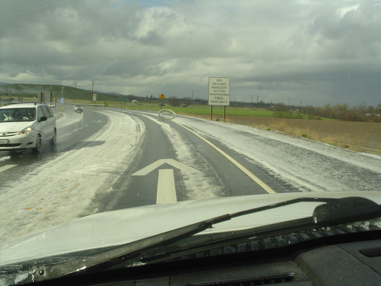
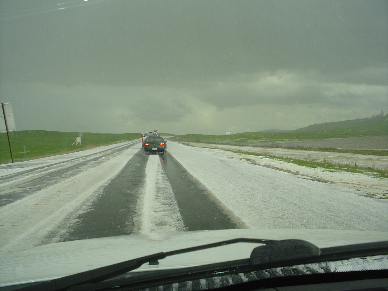
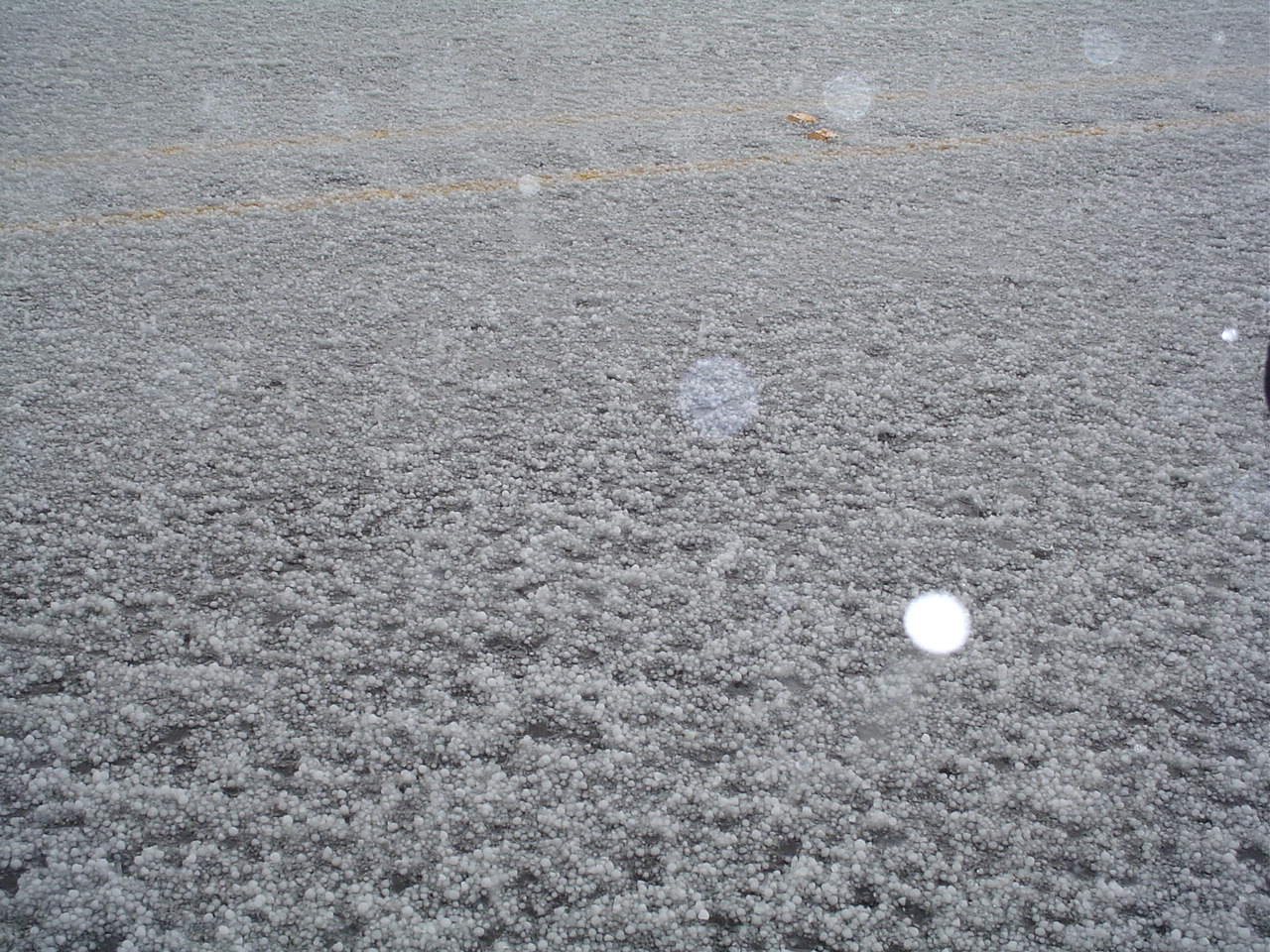
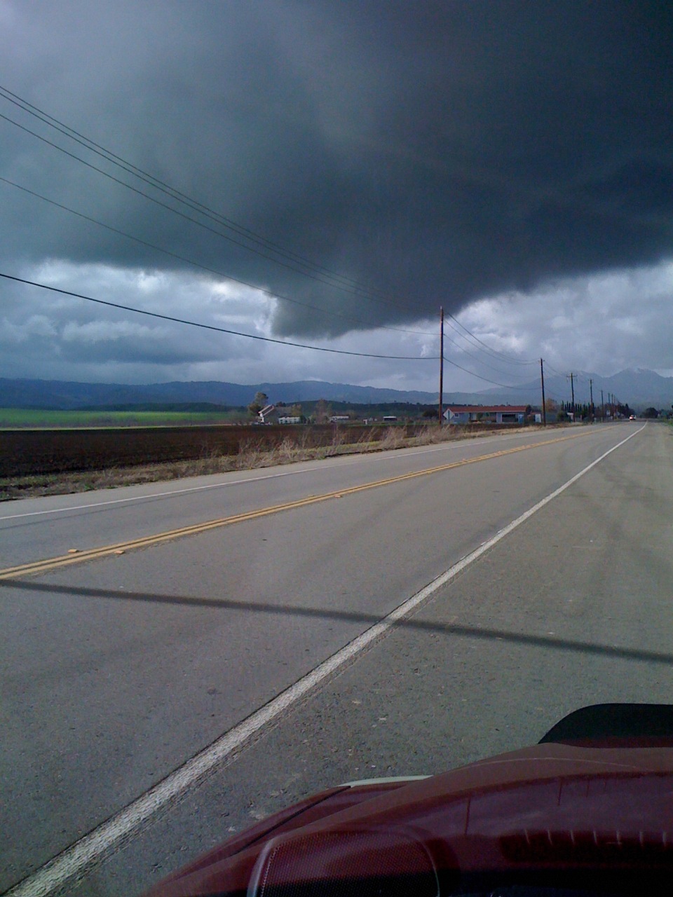
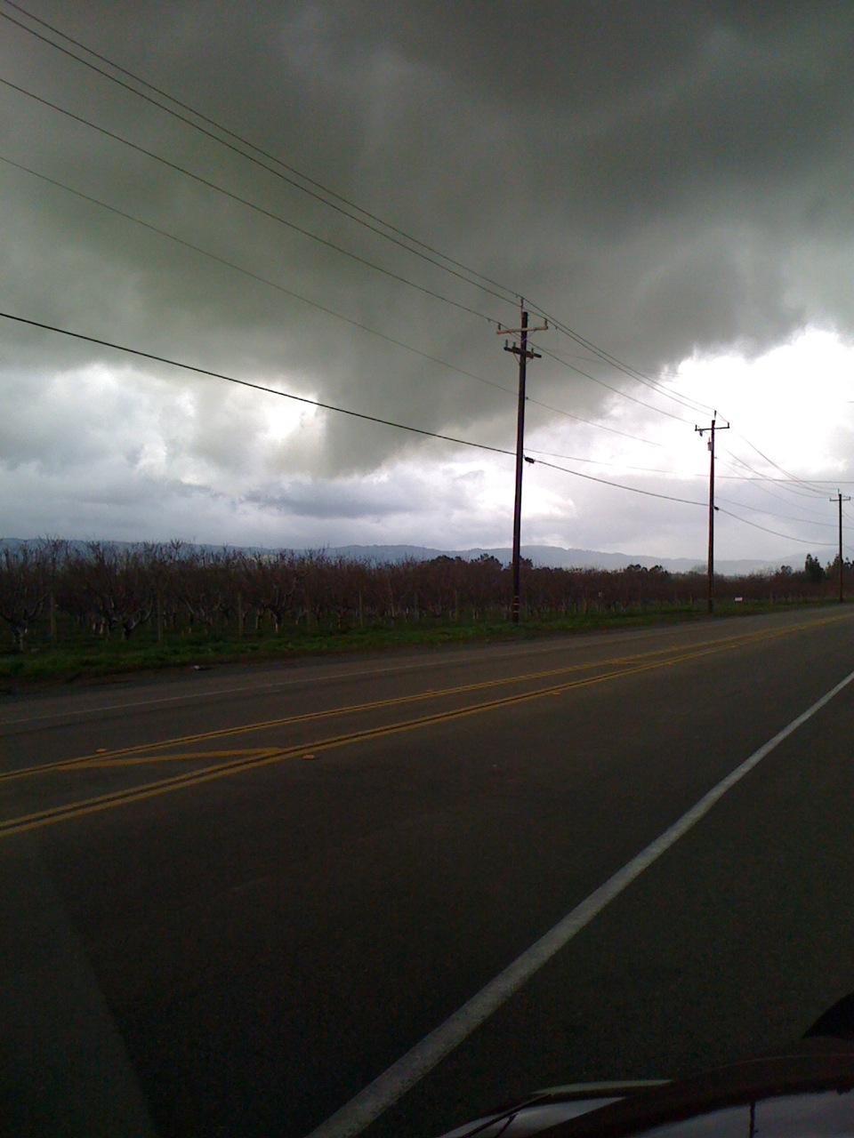
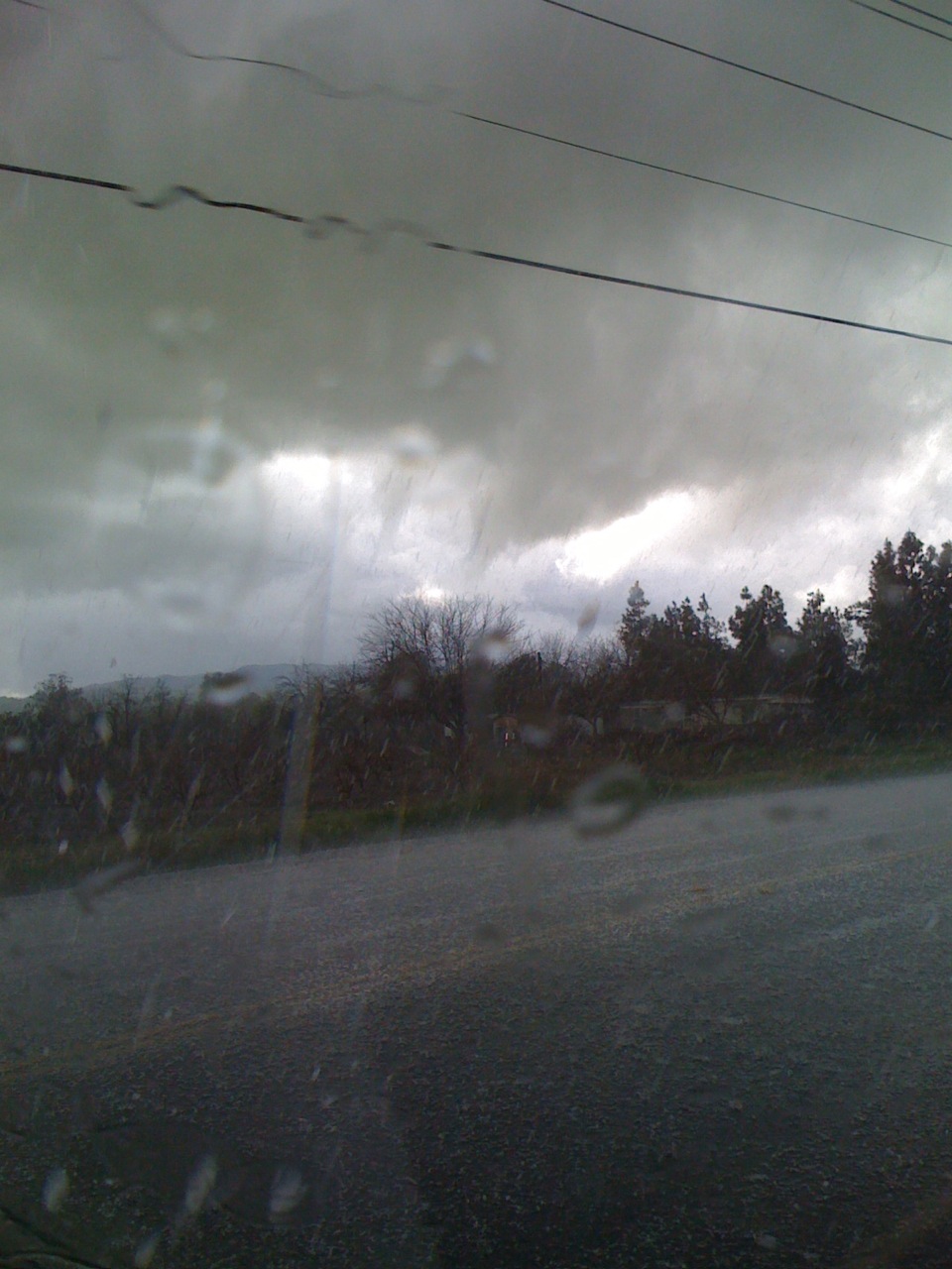
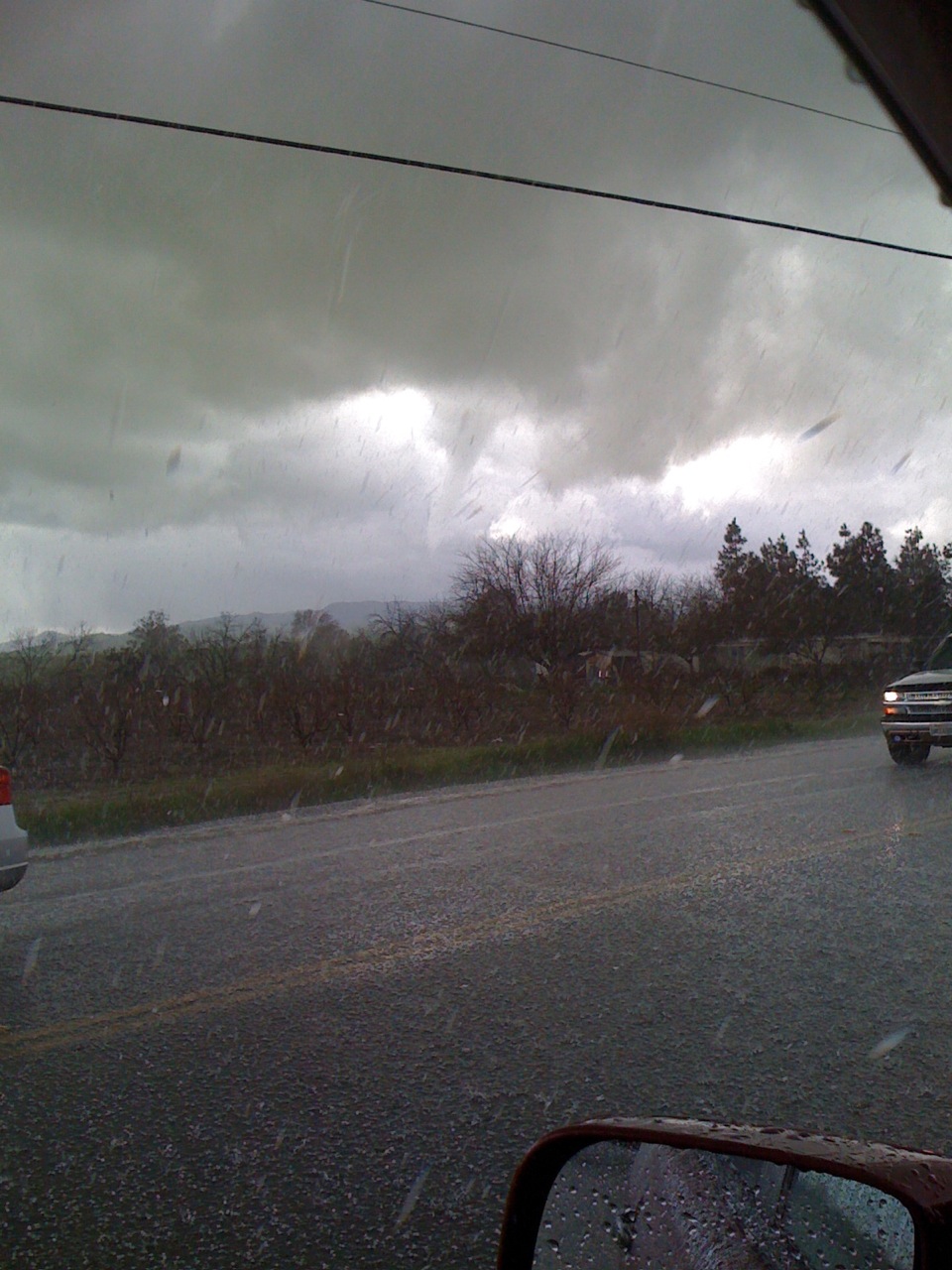
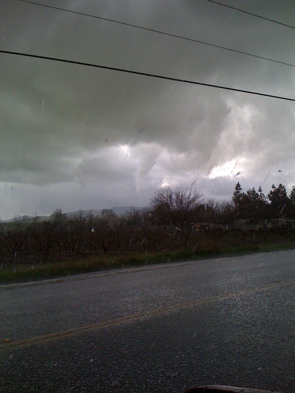
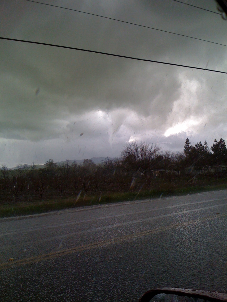
A very strong thunderstorm went through a portion of Contra Costa County near Brentwood and Discovery Bay on Saturday, January 23rd. The following pictures were taken by Diane Rybicki of the Contra Costa Water District and are used here with her permission and the permission of the Contra Costa Water District.

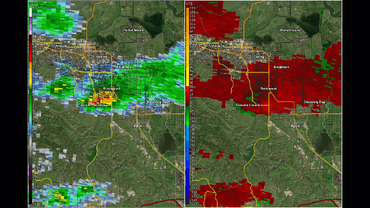
A low topped super cell produced an EF0 tornado near Brentwood. The tornado crossed power lines and destroyed a utility pole. An eyewitness described the tornado as high winds from swirling white cloud. The pole was twisted to the ground and the top one-third of the 40-foot pole was splintered. Fifty-five customers lost power at 12:54 p.m. PST.
Radar Loop of the Low Topped Cell. Tornado location noted on map