Cooler and less humid conditions for the eastern third of the nation as a cold slides off the east coast. Combination of dry and breezy conditions may result in spread of wildfires across the lower Mississippi Valley. In addition, fire weather conditions linger into portions of Southern California. For Guam, a super typhoon is approaching. Read More >
Ohio RFC
River Forecast Center
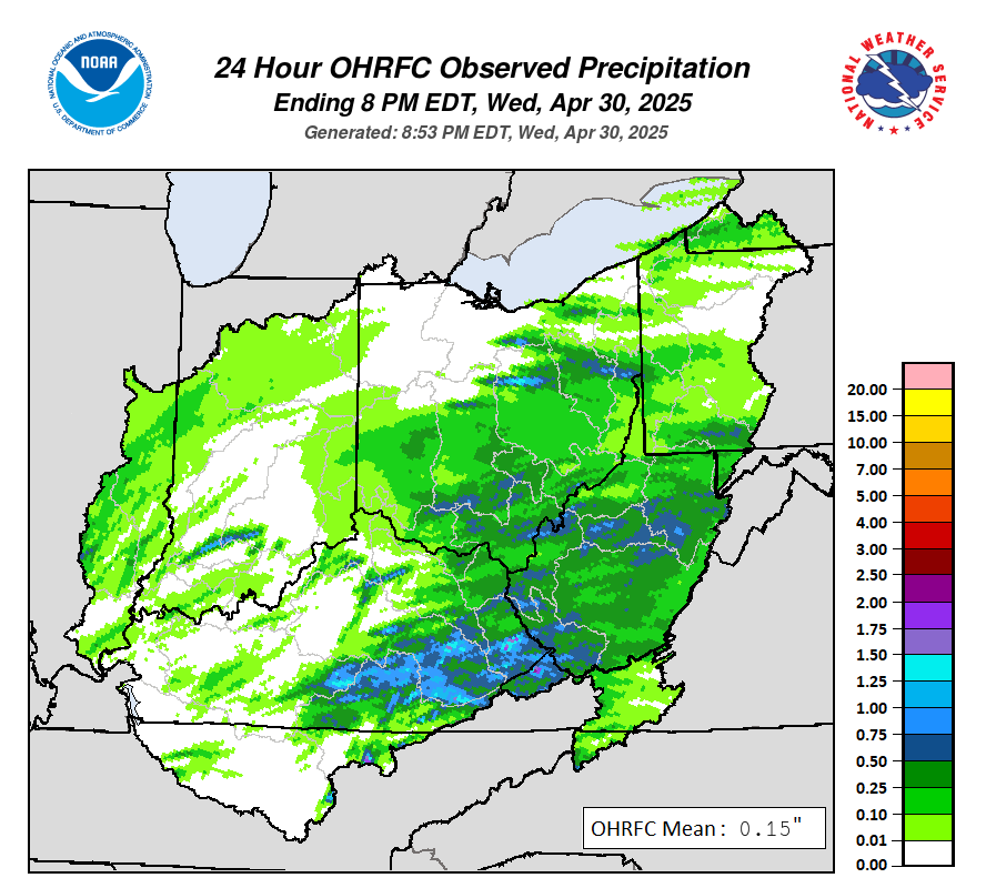
Past Precipitation |
Water Story |
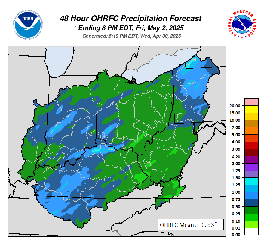
Future Precipitation |
 |
 |
|

US Dept of Commerce
National Oceanic and Atmospheric Administration
National Weather Service
Ohio RFC
1901 South State Route 134
Wilmington, OH 45177-9708
Comments? Questions? Please Contact Us.


 Follow us on X
 Follow us on Facebook
 OHRFC RSS Feed