Last Map Update: Thu, Jul 23, 2026 at 12:54:26 am CDT

|
Middle Tennessee Weather History For July 22nd...
|
|
On July 22, 1996...Flash flooding hits Auburntown (Cannon County)
after an estimated 6 inches of rain falls in 3 hours. Sanders Fork and Marshall Creek, which join in the center of Auburntown, rise out of their banks. As a result, nearly every building in the downtown business district is flooded. Some homes are also damaged. Losses are estimated at $200,000. |
|
Text Product Selector (Selected product opens in current window)
|
|
 |
 |
 |
 |
 |
 |
| Decision Support | Hydrology | Past Weather Events | GHWO | Observations | Gridded Forecast |
 |
 |
 |
 |
 |
 |
| IDSS Point Forecasts | Daily Climate | Local Climate | Tornado Database | Tropical | Weather Radio |
 |
 |
 |
 |
||
| Being Prepared | Probabilistic | Climate Records | Outreach |





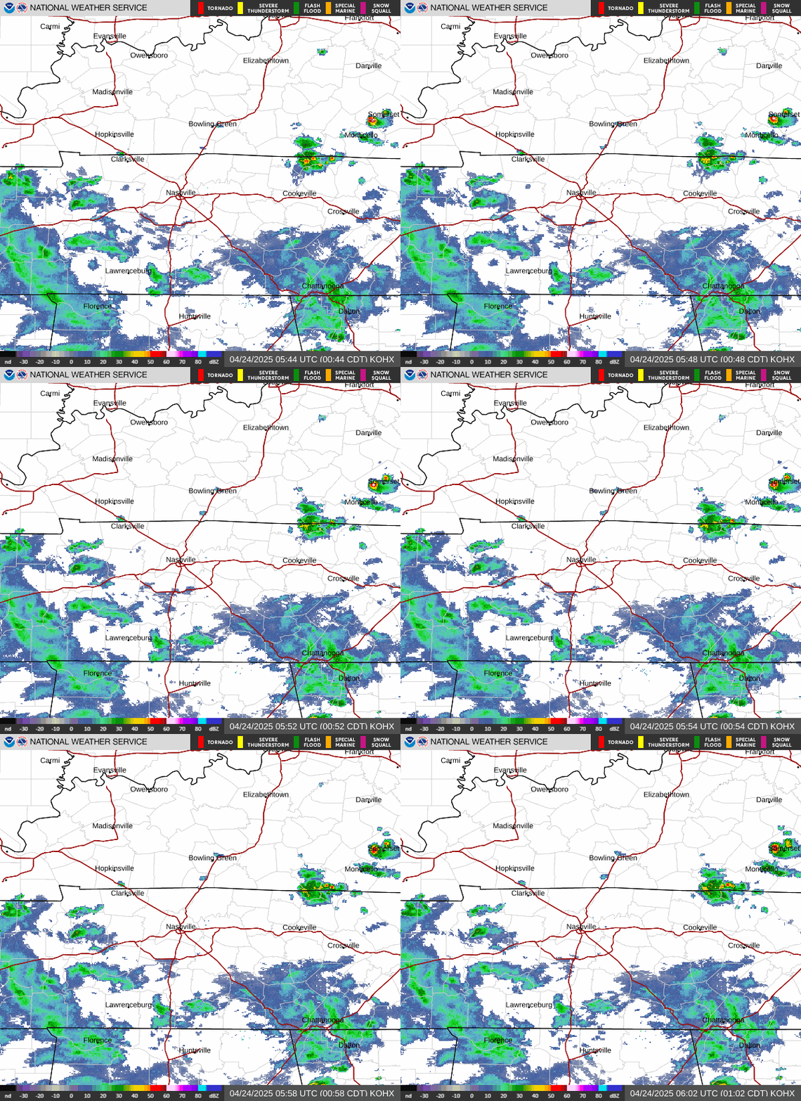 NWS Nashville (KOHX) Radar Loop
 Situation Report
 Regional Satellite
 National Weather Map
 Drought Monitor
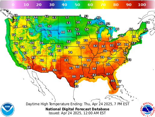 Graphical Forecast
 Follow us on X
 Follow us on Facebook
 Follow us on YouTube
 OHX RSS Feed