Last Map Update: Wed, May 27, 2026 at 1:48:33 pm CDT


|
Middle Tennessee Weather History For May 27th...
|
|
On May 27, 2000...F3 tornado hits Houston County, moving through
Tennessee Ridge and Erin. Damages are estimated at $1.3 million. Roofs and walls of some well constructed homes are torn off. Many trees are snapped and blown down along with power lines. The Betty Ligon Pavillion in Erin is flattened. Fifty people require shelter at Erin. A storage trailer is moved 50 feet at Tennessee Ridge. Fortunately, there are no injuries or fatalities. |
|
Text Product Selector (Selected product opens in current window)
|
|
 |
 |
 |
 |
 |
 |
| Decision Support | Hydrology | Past Weather Events | GHWO | Observations | Gridded Forecast |
 |
 |
 |
 |
 |
 |
| IDSS Point Forecasts | Daily Climate | Local Climate | Tornado Database | Tropical | Weather Radio |
 |
 |
 |
 |
||
| Being Prepared | Probabilistic | Climate Records | Outreach |





 NWS Nashville (KOHX) Radar Loop
 Situation Report
 Regional Satellite
 National Weather Map
 Drought Monitor
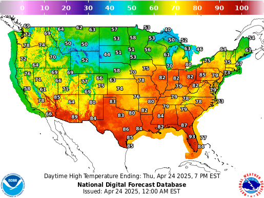 Graphical Forecast
 Follow us on X
 Follow us on Facebook
 Follow us on YouTube
 OHX RSS Feed