Last Map Update: Tue, Oct 13, 2026 at 2:26:38 am CDT


|
Middle Tennessee Weather History For October 13th...
|
|
On October 13, 2000...Dry weather continues. Despite at start of 38
degrees, the afternoon temperature at Nashville soars to 81. The high temperature hits 75 at Crossville, despite having dropped to 35 for a morning low. |
|
Text Product Selector (Selected product opens in current window)
|
|
 |
 |
 |
 |
 |
 |
| Decision Support | Hydrology | Past Weather Events | GHWO | Observations | Gridded Forecast |
 |
 |
 |
 |
 |
 |
| IDSS Point Forecasts | Daily Climate | Local Climate | Tornado Database | Tropical | Weather Radio |
 |
 |
 |
 |
||
| Being Prepared | Probabilistic | Climate Records | Outreach |





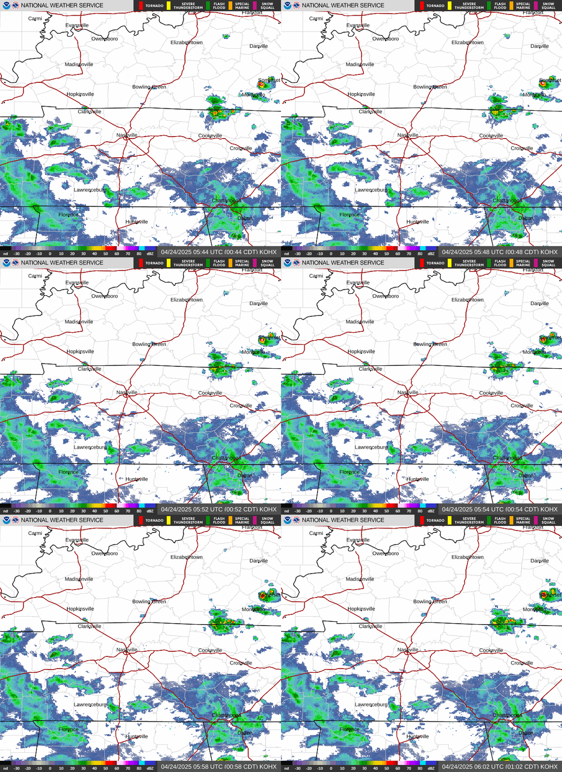 NWS Nashville (KOHX) Radar Loop
 Situation Report
 Regional Satellite
 National Weather Map
 Drought Monitor
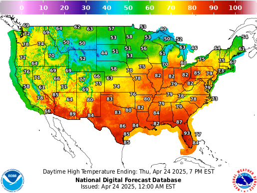 Graphical Forecast
 Follow us on X
 Follow us on Facebook
 Follow us on YouTube
 OHX RSS Feed