Overview
A small line of thunderstorms, ahead of a larger area of rain, pushed across southeast Missouri into far western Kentucky during the early morning hours on May 1st. A brief tornado spun up in Ballard County, KY just south of La Center before the line weakened considerably by 7 AM.Tornadoes:
|
Tornado - La Center, KY
Track Map 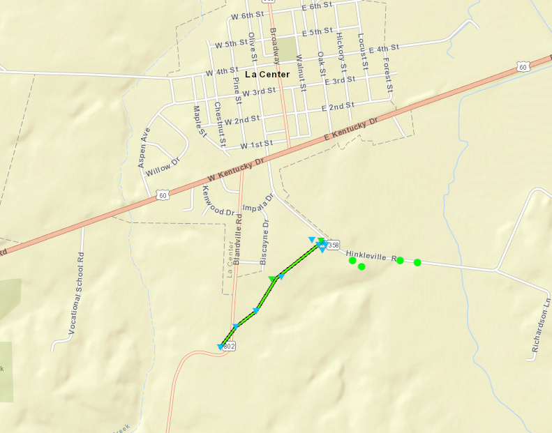 
|
||||||||||||||||
The Enhanced Fujita (EF) Scale classifies tornadoes into the following categories:
| EF0 Weak 65-85 mph |
EF1 Moderate 86-110 mph |
EF2 Significant 111-135 mph |
EF3 Severe 136-165 mph |
EF4 Extreme 166-200 mph |
EF5 Catastrophic 200+ mph |
 |
|||||
 |
Media use of NWS Web News Stories is encouraged! Please acknowledge the NWS as the source of any news information accessed from this site. |
|

