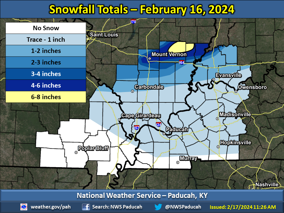
Overview
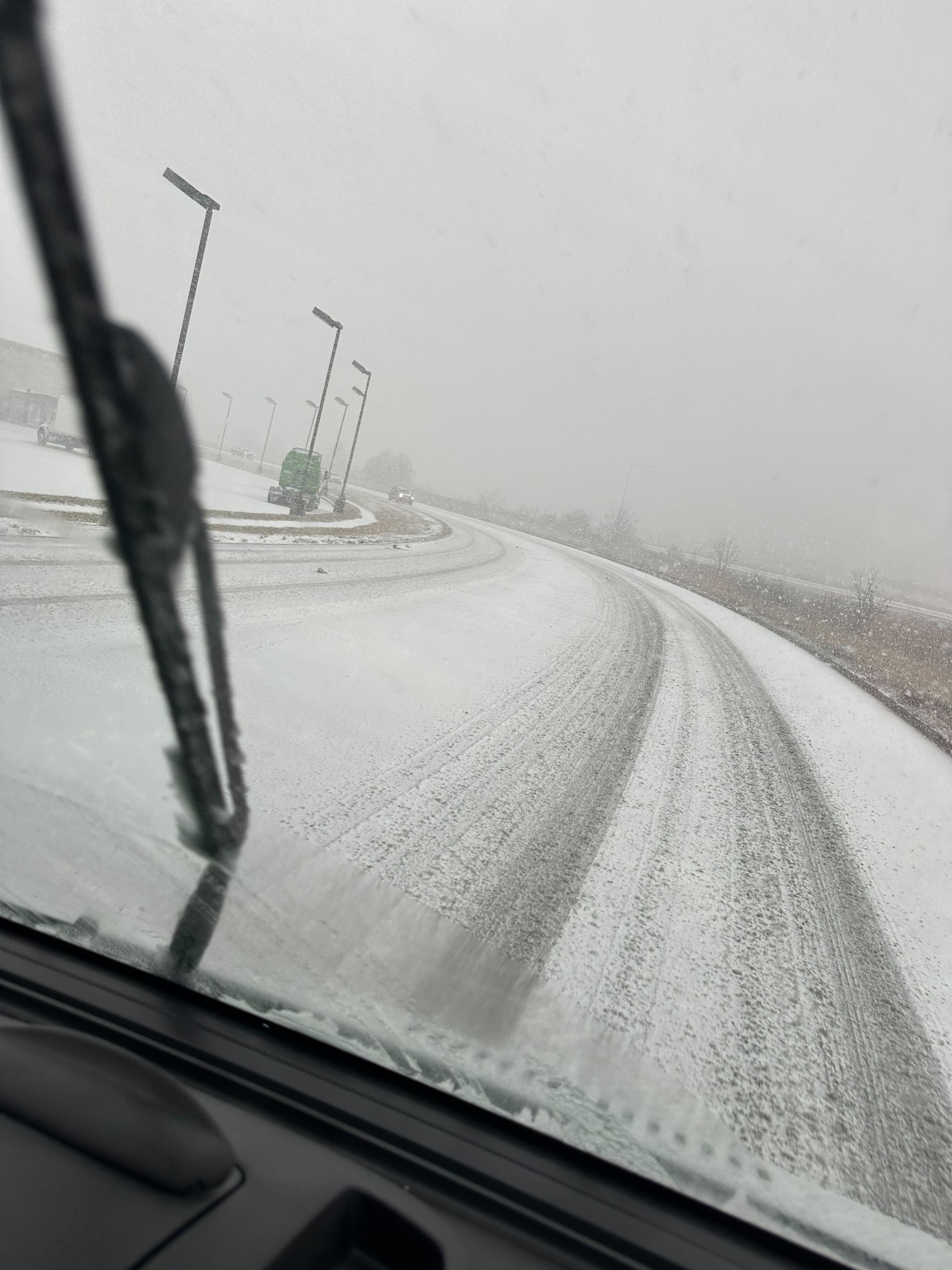
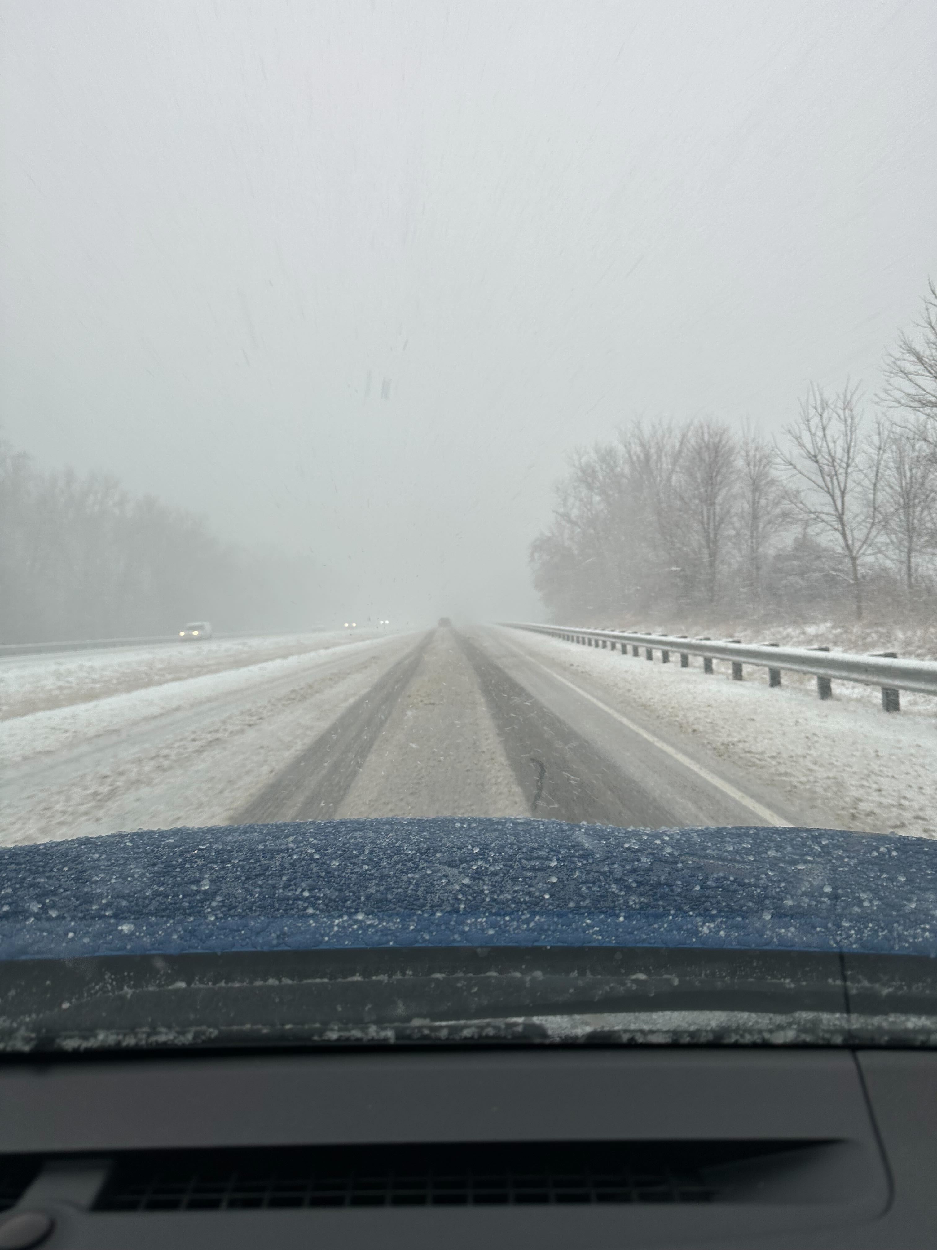
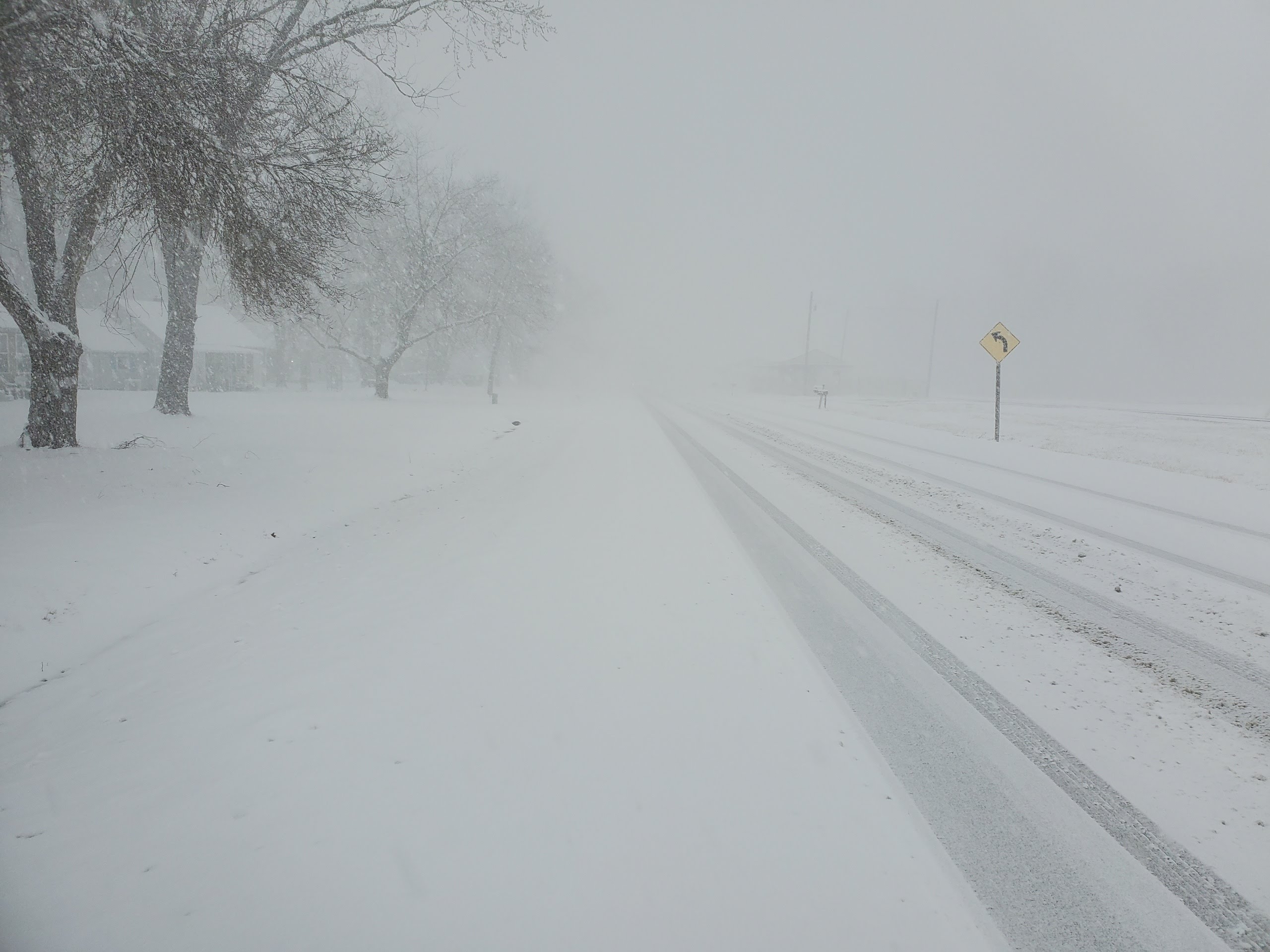
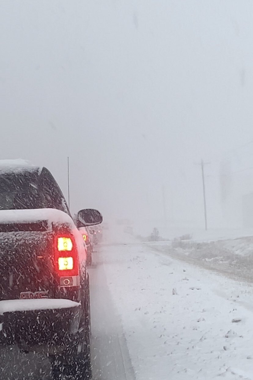
A quick-moving, dynamic clipper system brought bands of heavy snow to parts of southern Illinois and southwest Indiana during the afternoon and evening hours of Friday, February 16, 2024. With snowfall rates of one to two inches per hour and frequent lightning, the snow quickly accumulated on roads, bridges, and sidewalks, creating major travel impacts along and north of Interstate 64. Snowfall totals of three to seven inches were reported in Perry, Jefferson, Wayne, Edwards, Wabash, and Hamilton Counties in southern Illinois. In southwest Indiana, one to three inches of snow fell across Gibson and Pike Counties, while a trace up to one inch of snow fell across Posey, Vanderburgh, Warrick, and Spencer Counties.Snow
The heaviest snow occurred along and north of Interstate 64 in Jefferson, Wayne, Edwards, and Wabash Counties in southern Illinois. These areas received three to seven inches of snow in just a few hours due to heavy snowfall rates of one to two inches per hour. Several instances of thundersnow were reported as the heaviest snow fell!
| West Salem, IL | 7.0 inches |
| Fairfield, IL | 6.0 inches |
| Bone Gap, IL | 6.0 inches |
| 3 WNW Bone Gap, IL | 5.0 inches |
| 5 W Bluford, IL | 4.5 inches |
| Mount Vernon, IL | 4.3 inches |
| Albion, IL | 4.0 inches |
| Mount Carmel, IL | 4.0 inches |
| 4 NW Mount Carmel, IL | 4.0 inches |
| Dahlgren, IL | 3.8 inches |
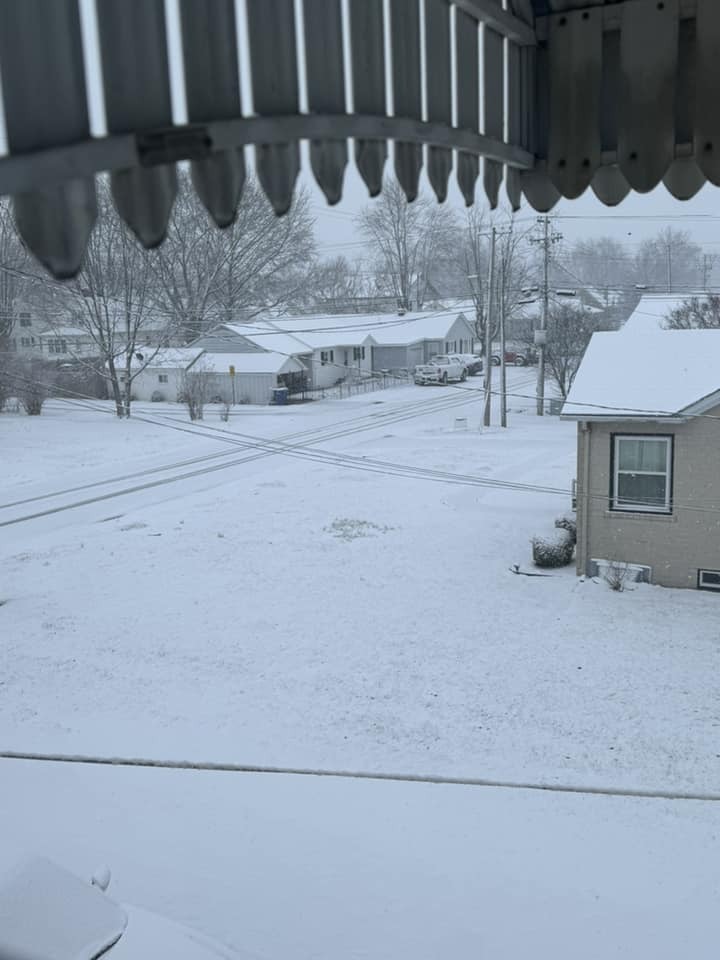
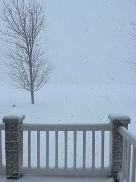
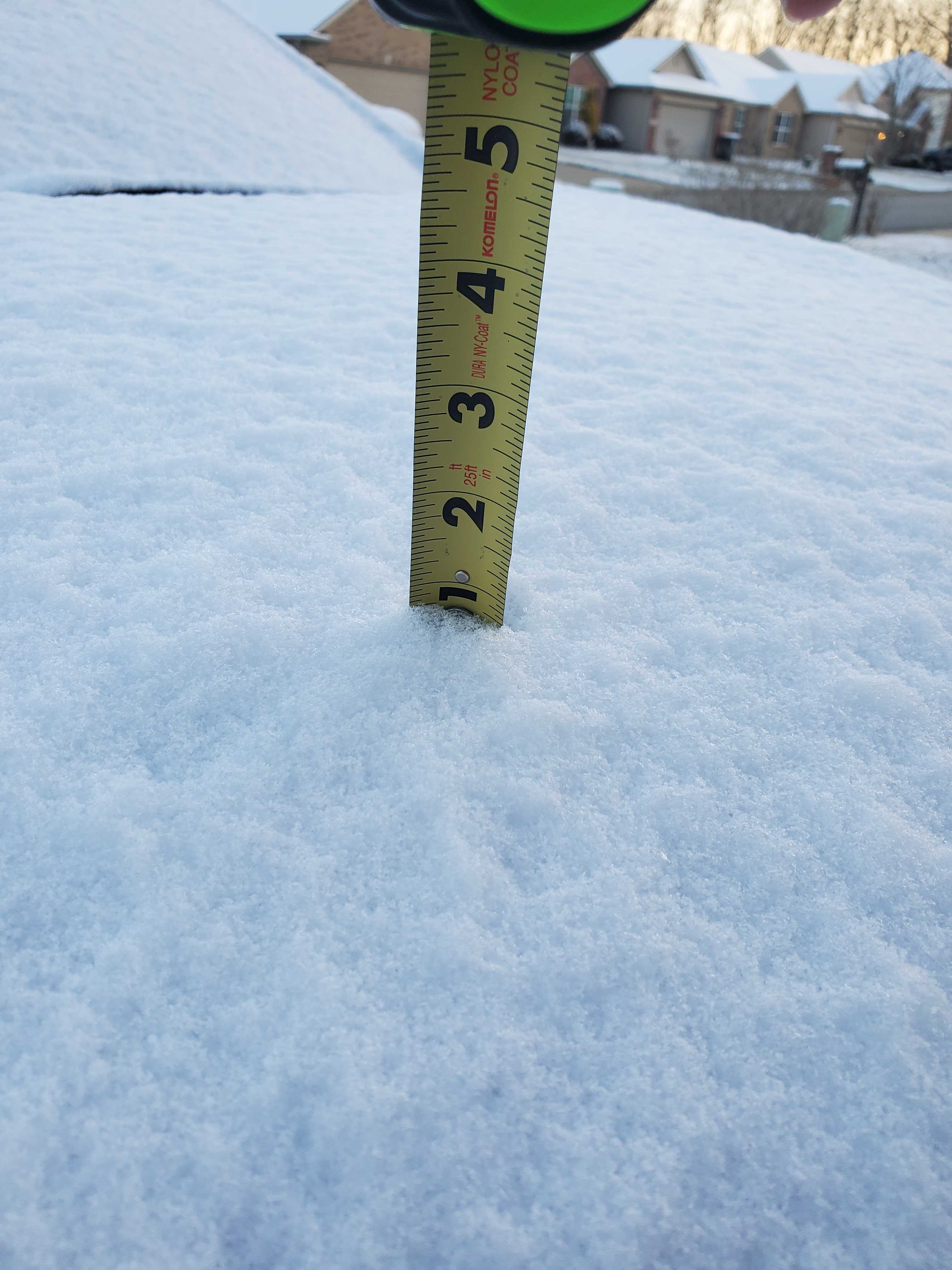
Photos & Video
 |
 |
 |
 |
| Carmi, IL (Beau Dodson) |
Dahlgren, IL (Beau Dodson) |
Evansville, IN (David Skau) |
Mount Vernon, IL (Keith Hertenstein/Jefferson County EMA) |
 |
 |
 |
 |
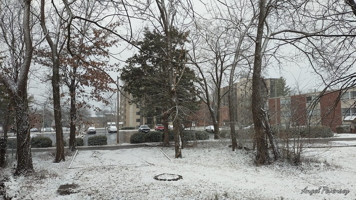
| Carbondale, IL (Angel Pevensey) |
US 41 in Gibson County, IN (Shawn Weber) |
Mount Vernon, IL (NWS Paducah Trained Spotter) |
Illinois Highway 130 between Grayville and Albion, IL. (Colton Plummer) |
Radar
Click here for a loop of composite radar reflectivity during this event. Snowfall reports are overlaid on the imagery.
Storm Reports
...SNOWFALL REPORTS...

Location                     Amount    Time/Date       Provider
West Salem IL                7.0 in    0622 PM 02/16   Public
Fairfield IL                 6.0 in    0528 PM 02/16   Public
Bone Gap IL                  6.0 in    0847 AM 02/17   Public
3 WNW Bone Gap IL            5.0 in    0538 PM 02/16   Emergency Mngr
5 W Bluford IL               4.5 in    0457 PM 02/16   Emergency Mngr
Mount Vernon IL              4.3 in    0348 PM 02/16   Law Enforcement
Albion IL                    4.0 in    0515 PM 02/16   Trained Spotter
Mount Carmel IL              4.0 in    0530 PM 02/16   Public
4 NW Mount Carmel IL         4.0 in    0839 AM 02/17   Trained Spotter
Dahlgren IL                  3.8 in    0630 PM 02/16   Trained Spotter
9 N Cutler IL                3.0 in    0307 PM 02/16   Trained Spotter
3 SSW Mount Vernon IL        3.0 in    0325 PM 02/16   Trained Spotter
1 W Fairfield IL             2.5 in    0354 PM 02/16   NWS Employee
Dix IL                       2.5 in    0456 PM 02/16   Public
Petersburg IN 1 ENE          2.5 in    0600 AM 02/17   COCORAHS
Du Quoin IL                  2.0 in    0348 PM 02/16   Emergency Mngr
Patoka IN                    2.0 in    0528 PM 02/16   Trained Spotter
3 WSW Waltonville IL         1.9 in    0308 PM 02/16   NWS Employee
3 NW Winslow IN              1.8 in    0640 PM 02/16   Public
Poseyville IN 2.8 NW         1.7 in    0700 AM 02/17   COCORAHS
Oakland City IN              1.5 in    0534 PM 02/16   Public
Grayville IL                 1.5 in    0548 PM 02/16   Trained Spotter
Princeton IN                 1.5 in    0548 PM 02/16   Trained Spotter
Francisco IN 0.1 SE          1.5 in    0700 AM 02/17   COCORAHS
Crossville IL 3.0 E          1.5 in    0700 AM 02/17   COCORAHS
Holland IN 6.3 NW            1.1 in    0600 AM 02/17   COCORAHS
Stendal IN                   1.1 in    0600 AM 02/17   COOP
Christopher IL               1.0 in    0414 PM 02/16   Emergency Mngr
1 WSW Murphysboro IL         1.0 in    0425 PM 02/16   Public
2 NNW Evansville IN          1.0 in    0605 PM 02/16   Trained Spotter
Herrin IL                    1.0 in    0606 PM 02/16   Trained Spotter
Carmi IL                     1.0 in    0700 AM 02/17   COCORAHS
Evansville 5.4 NNE           0.7 in    0700 AM 02/17   COCORAHS
Evansville 6.7 NW            0.7 in    0700 AM 02/17   COCORAHS
Eldorado IL                  0.5 in    0607 PM 02/16   Public
3 W Newburgh IN              0.5 in    0657 PM 02/16   Public
Evansville IN                0.5 in    1200 AM 02/17   CO-OP Observer
Evansville IN 8.8 WSW        0.5 in    0730 AM 02/17   COCORAHS
Newburgh IN                  0.3 in    0758 PM 02/16   Fire Dept/Rescue
Rockport IN 4.0 WNW          0.3 in    0700 AM 02/17   COCORAHS
Newburgh IN 0.3 SE           0.2 in    0700 AM 02/17   COCORAHS
Perryville MO Water Plant    0.1 in    0700 AM 02/17   COOP
West Paducah KY 2 W           T in     1200 AM 02/17   COOP
Providence KY                 T in     0600 AM 02/17   COOP
Mount Vernon IN               T in     0600 AM 02/17   COOP
Paducah KY 1 NNE              T in     0700 AM 02/17   COCORAHS
Oak Grove KY 4.6 NW           T in     0700 AM 02/17   COCORAHS
Doniphan MO 14.5 NW           T in     0700 AM 02/17   COCORAHS
Brookport IL 7 ENE            T in     0700 AM 02/17   COCORAHS

...SLEET REPORTS...

Location                     Amount    Time/Date       Provider
Dahlgren IL                  0.5 in    0236 PM 02/16   Trained Spotter
 |
Media use of NWS Web News Stories is encouraged! Please acknowledge the NWS as the source of any news information accessed from this site. |
|

