Paducah, KY
Weather Forecast Office
Here are maps of observed storm total snowfall and ice accumulations from the winter storm on January 22, 2016. As predicted, there was a sharp cutoff line in far southeast Missouri, far southern Illinois, and southwest Indiana. Freezing rain started late Thursday night (January 21) and transitioned over to snow in the early morning hours on January 22nd. Locations across our area received anywhere from a trace to 10+ inches of snow. Heaviest amounts were seen in western Kentucky, where 6 to 9 inches was common, but isolated even higher amounts were possible.
.png)
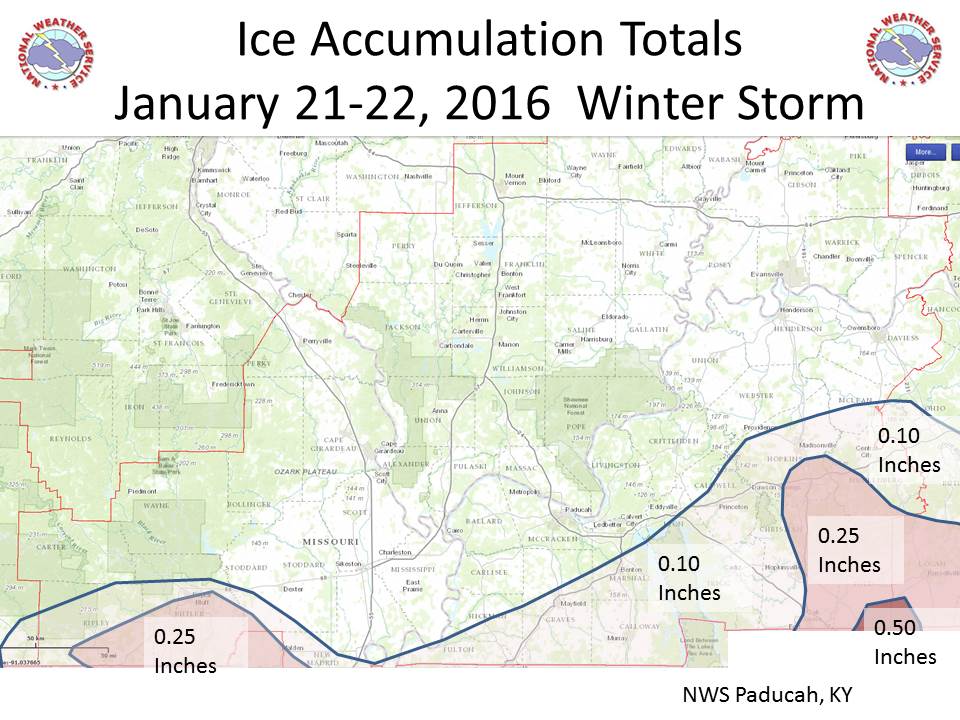
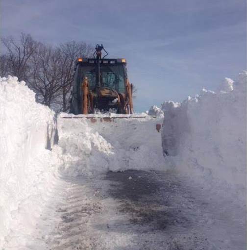
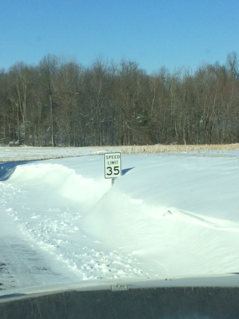
Photo taken in NE Trigg County, KY by Tommy Hanberry Photo Taken in Muhlenberg Co., KY on
Greens Chapel Rd by Keith Putnam
FORECASTS
Forecast Discussion
User Defined Area Forecast
Hourly Forecasts
Fire Weather
Activity Planner
LOCAL INFORMATION
Aviation Weather
Our Office
SKYWARN
Items of Interest
Hazardous Weather Support
Local Observations
Weather History
NWS Paducah KY Weekly Partner Briefing
US Dept of Commerce
National Oceanic and Atmospheric Administration
National Weather Service
Paducah, KY
8250 Kentucky Highway 3520
West Paducah, KY 42086-9762
270-744-6440
Comments? Questions? Please Contact Us.