Overview
|
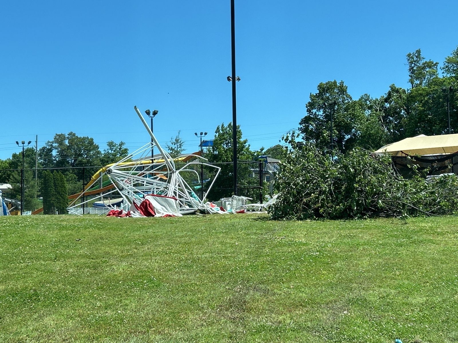
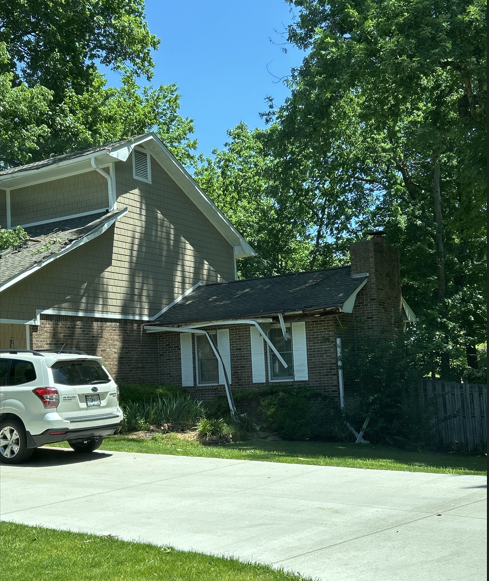
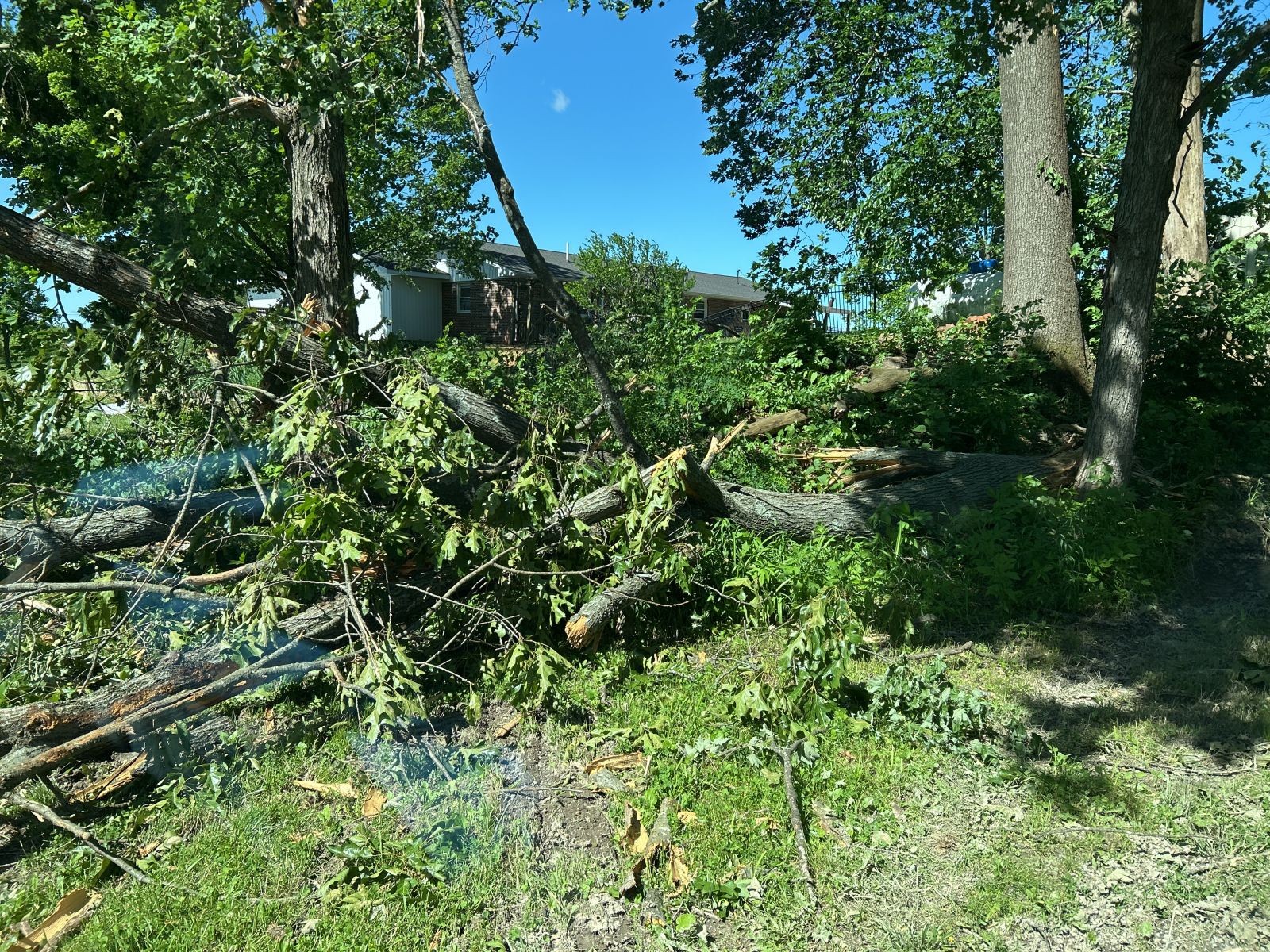
Two rounds of severe thunderstorms impacted the region on May 20th. The first occurred during the overnight hours between midnight and 5 AM. Then we had a lull during the late morning into midday before additional clusters of storms formed by 2 PM across southeast Missouri and pushed east into west Kentucky through the early evening. There were two tornadoes that happened with the first round, including an EF-1 that struck the north side of Cape Girardeau, MO shortly after 1 AM. There were scattered reports of wind damage and some hail with these storms, although most of the hail was sub-severe (dime sized or smaller). |
Tornadoes
Select a tornado from the table to zoom into the track and view more information. The default table view is limited to 8 tracks, but can be scrolled by a mouse wheel or dynamically expanded. Additionally, the table can fill the entire window by clicking the small circular expanding arrow icon at the very top right of the table and returned to its original size by clicking the button again. The side information panel that opens over the map can be closed using the "X" on the upper right corner of the pop-up. Zoom into the map and click damage points to see detailed information and pictures from the surveys.
|
NOTE: times shown below are local to your device's time zone. |

The Enhanced Fujita (EF) Scale classifies tornadoes into the following categories:
| EF0 Weak 65-85 mph |
EF1 Moderate 86-110 mph |
EF2 Significant 111-135 mph |
EF3 Severe 136-165 mph |
EF4 Extreme 166-200 mph |
EF5 Catastrophic 200+ mph |
 |
|||||
| Tornadoes that fail to impact any ratable structures on the EF-Scale are rated EF-Unknown (EF-U) | |||||
Radar
Photos
Header
 |
 |
 |
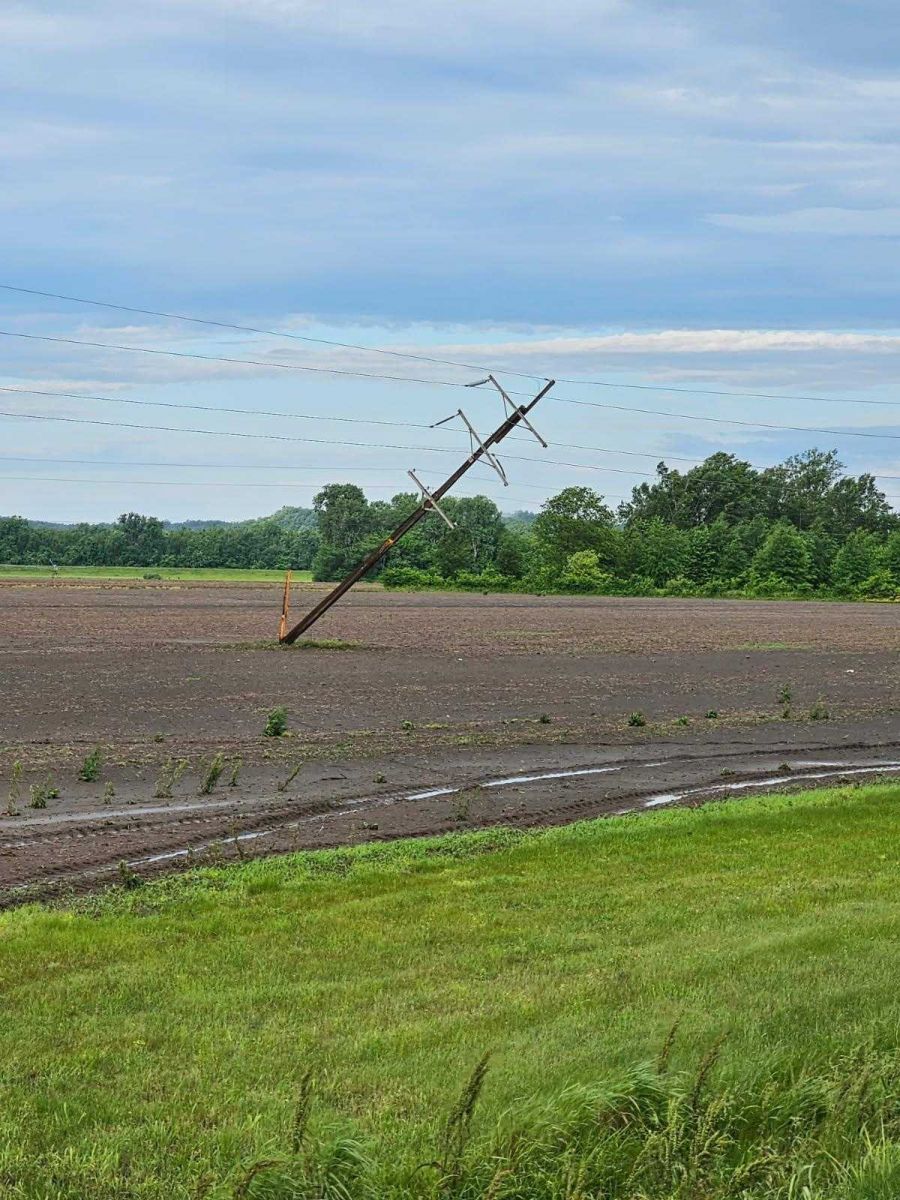 |
| NWS Damage Survey of tornado damage in Cape Girardeau, MO | NWS Damage Survey of tornado damage in Cape Girardeau, MO | NWS Damage Survey of tornado damage in Union County, IL | Thunderstorm Wind Damage near Grand Tower, IL via Orval Rowe |
 |
Media use of NWS Web News Stories is encouraged! Please acknowledge the NWS as the source of any news information accessed from this site. |
|

