
Dangerous and extreme heat will remain across portions of the southern U.S. through the weekend. A heat wave over the Southwest U.S. will intensify this week, peaking and expanding into the Intermountain West and northern High Plains this weekend. Multiple rounds of thunderstorms will produce heavy to excessive rainfall with significant flash flooding across portions of southern New England. Read More >
Last Map Update: Thu, Jul 30, 2026 at 12:36:51 am PDT
|
Text Product Selector (Selected product opens in current window)
|
|


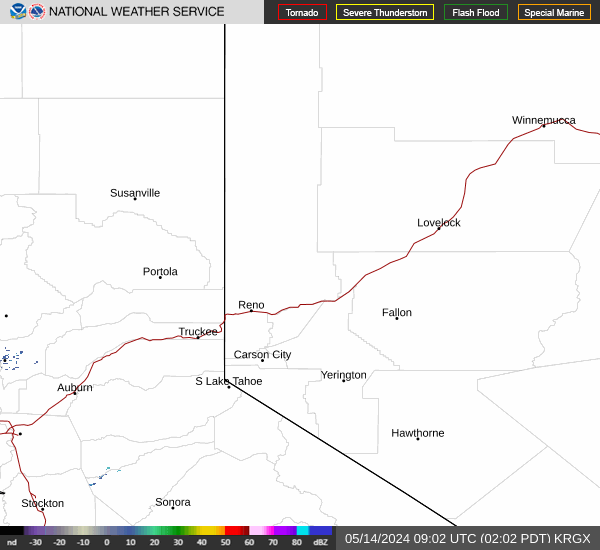 Radar
Radar Satellite
 Fire Weather
 Lake Forecasts
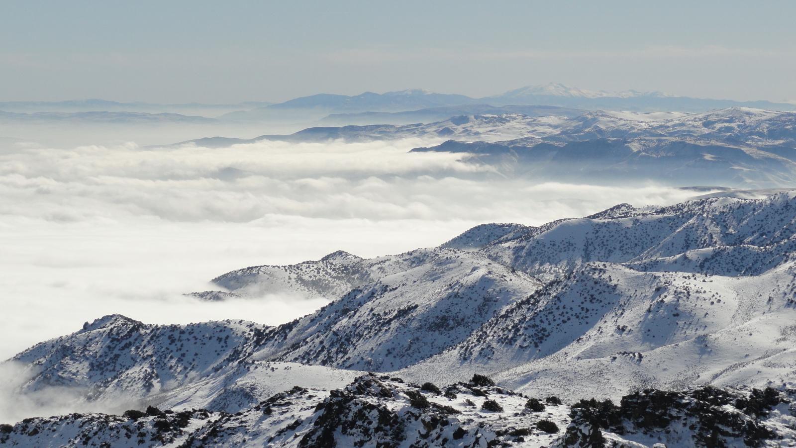 Snow & Avalanche
 Weather Stats
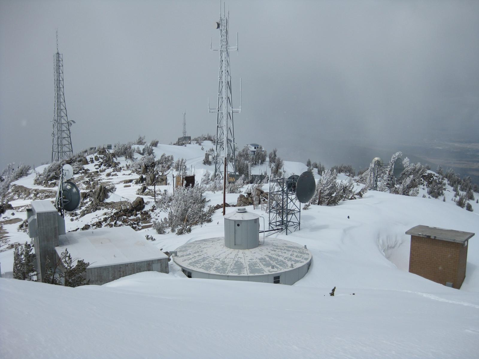 Mountain Observations & Remote Data
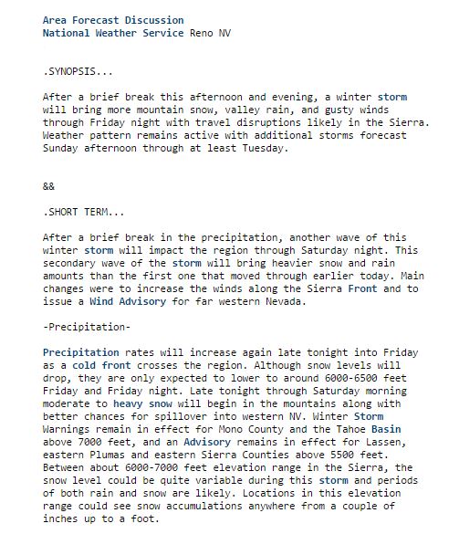 Forecast Discussion
 Graphical Forecasts
 Forecast Weather Table