
Two Pacific storms will impact the western U.S. this week with low elevation rain, mountain snow, and gusty winds. The second storm arriving Tuesday night into Wednesday may bring heavy to excessive rainfall and possible flooding for coastal central and southern California, while heavy mountain snow is possible across the Sierra Nevada mountains. Read More >
Overview
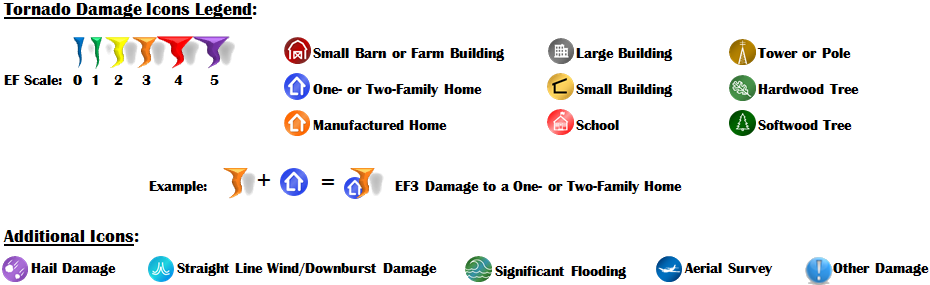
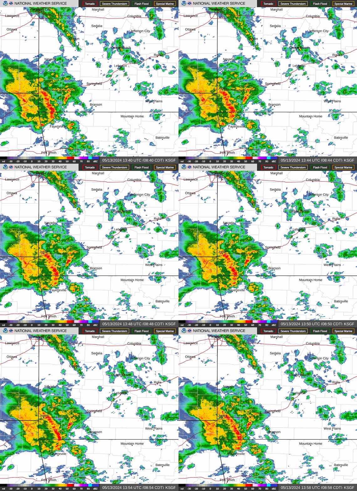
A strong storm system impacted southeastern Kansas and the Missouri Ozarks during the late evening hours on Friday, November 30th and the early morning hours on Saturday, December 1 of 2018. A line of thunderstorms commonly referred to as a Quasi-Linear Convective System (QLCS) produced widespread wind damage and seven tornadoes across southern Missouri. This included four EF-1 and three EF-0 tornadoes.Tornadoes:
|
|
||||||||||
|
||||||||||
|
Tornado - Near MONETT, MO
|
||||||||||||||||
|
Tornado - AURORA, MO
|
||||||||||||||||
|
Tornado - BILLINGS, MO
|
||||||||||||||||
|
Tornado - REPUBLIC, MO
|
||||||||||||||||
|
Tornado - Near SEYMOUR, MO
|
||||||||||||||||
|
Tornado - Near HARTVILLE, MO
|
||||||||||||||||
|
Tornado - Near Clever
Track Map  
Downloadable KMZ File |
||||||||||||||||
The Enhanced Fujita (EF) Scale classifies tornadoes into the following categories:
| EF0 Weak 65-85 mph |
EF1 Moderate 86-110 mph |
EF2 Significant 111-135 mph |
EF3 Severe 136-165 mph |
EF4 Extreme 166-200 mph |
EF5 Catastrophic 200+ mph |
 |
|||||
Radar:

 |
Media use of NWS Web News Stories is encouraged! Please acknowledge the NWS as the source of any news information accessed from this site. |
|





 Weather Story
 Weather Map
 Local Radar
 Follow us on X
 Follow us on Facebook
 Follow us on YouTube
 SGF RSS Feed