Overview
|
A line of strong to severe storms pushed across the region late Tuesday night and early Wednesday morning producing scattered wind damage. An EF-1 tornado touched down just north of Seneca, Missouri in Newton County. An EF-0 briefly touched down in southwest Springfield. Damaging winds up to 100 mph impacted Girard, Kansas. Other wind damage occurred along Table Rock Lake. Wind damage throughout the area was mainly confined to downed trees but there was also some minor structural damage. |
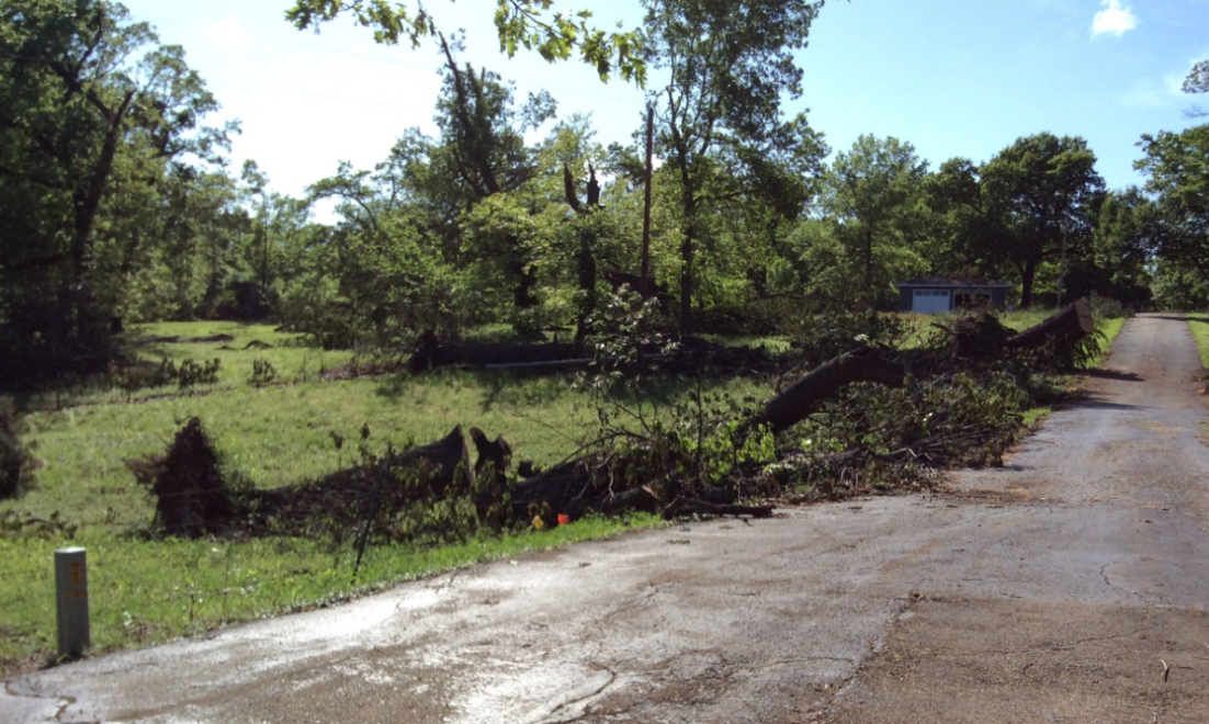
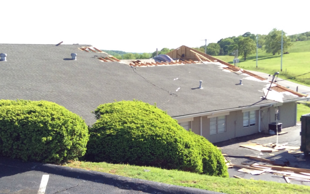 Damage in Newton county |
 |
 |
|
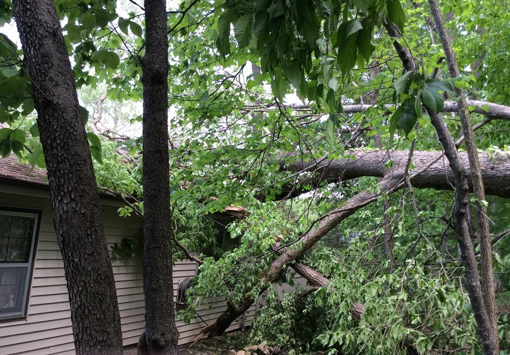
| Damage in Newton County | Damage near Hollister, MO |
Tornadoes:
|
|
||||||||||
|
||||||||||
|
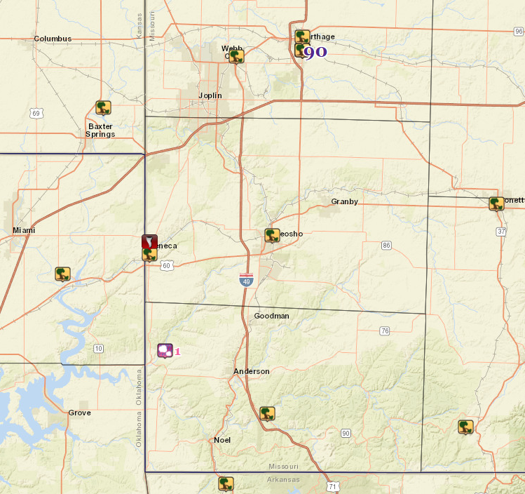
EF-1 Tornado - Near Seneca
Track Map 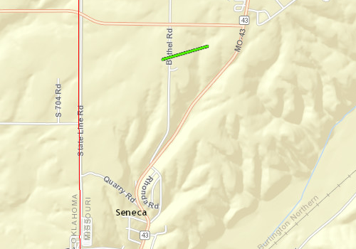 
|
||||||||||||||||
|
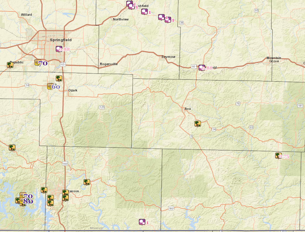
EF-0 Tornado - 1 Mile NE of Battlefield
Track Map 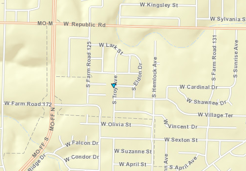
|
||||||||||||||||
The Enhanced Fujita (EF) Scale classifies tornadoes into the following categories:
| EF0 Weak 65-85 mph |
EF1 Moderate 86-110 mph |
EF2 Significant 111-135 mph |
EF3 Severe 136-165 mph |
EF4 Extreme 166-200 mph |
EF5 Catastrophic 200+ mph |
 |
|||||
Wind & Hail:
Wind
The storms became mostly linear overnight with storm mode switching to mainly wind reports. Sporadic wind damage occurred with winds of 60 to 90 mph.
 |
 |
 |
|
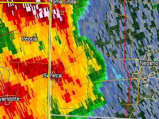
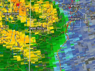
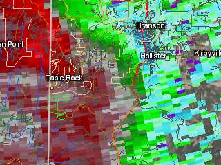
| Base Reflectivity near Seneca | Base Reflectivity near Hollister | Base Velocity near Hollister |
Radar:
Radar loop through the event

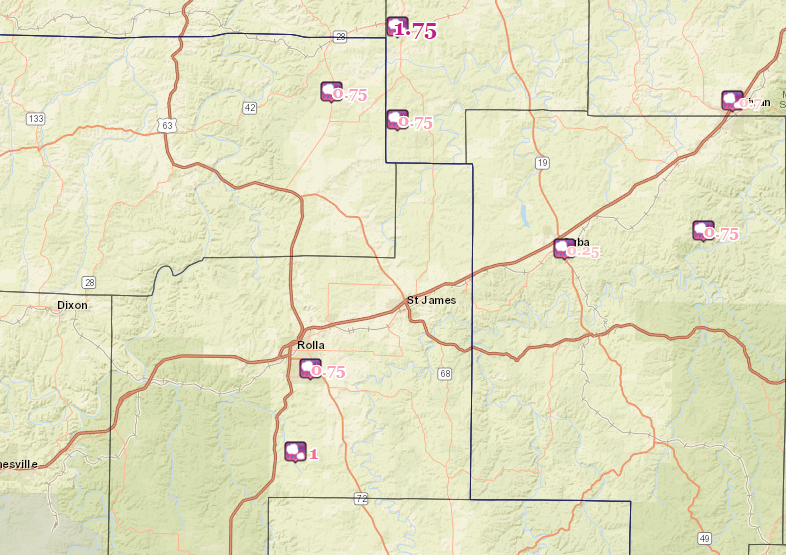
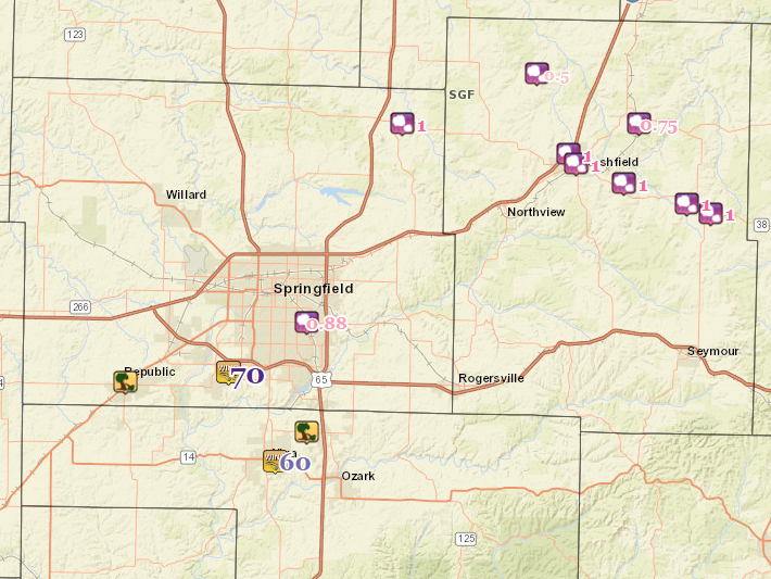
Storm Reports
 |
Media use of NWS Web News Stories is encouraged! Please acknowledge the NWS as the source of any news information accessed from this site. |
|


 Weather Story
 Weather Map
 Local Radar