Overview
|
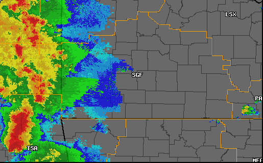
Storms developed in the Plains during the evening of the 24th and began to push east into southeast Kansas and southwest Missouri by late evening on the 24th. These storms then tracked east across the Ozarks during the overnight hours producing the first tornado of the day around 130 AM over Douglas and Webster counties. |
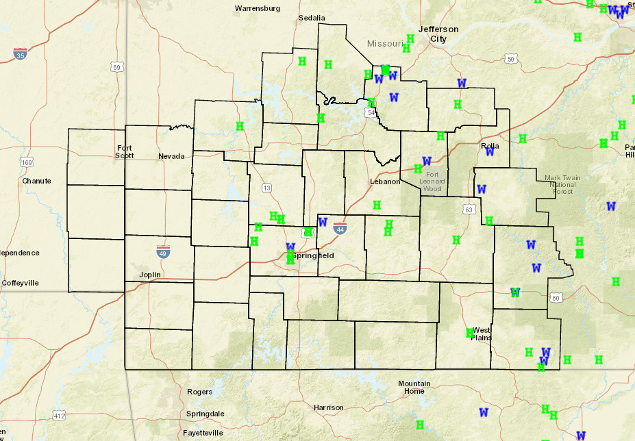 Storm Reports |
Tornadoes:
|
Tornado - Dogwood to Seymour
Track Map 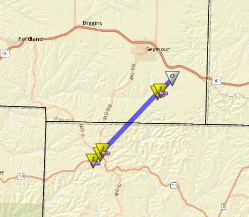
|
||||||||||||||||
|
Tornado - 3N Myrtle
Track Map 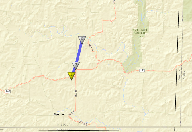
|
||||||||||||||||
The Enhanced Fujita (EF) Scale classifies tornadoes into the following categories:
| EF0 Weak 65-85 mph |
EF1 Moderate 86-110 mph |
EF2 Significant 111-135 mph |
EF3 Severe 136-165 mph |
EF4 Extreme 166-200 mph |
EF5 Catastrophic 200+ mph |
 |
|||||
Radar:
 |
Media use of NWS Web News Stories is encouraged! Please acknowledge the NWS as the source of any news information accessed from this site. |
|


 Weather Story
 Weather Map
 Local Radar