Overview
|
A line of strong to severe thunderstorms moved across southeastern Kansas and the Missouri Ozarks during the early morning hours of Sunday, May 17, 2015. Multiple reports of wind damage were received, along with a few tornadoes. |
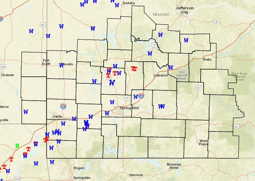 Storm Reports |
Tornadoes:
|
Tornado - Seneca to Neosho
Track Map 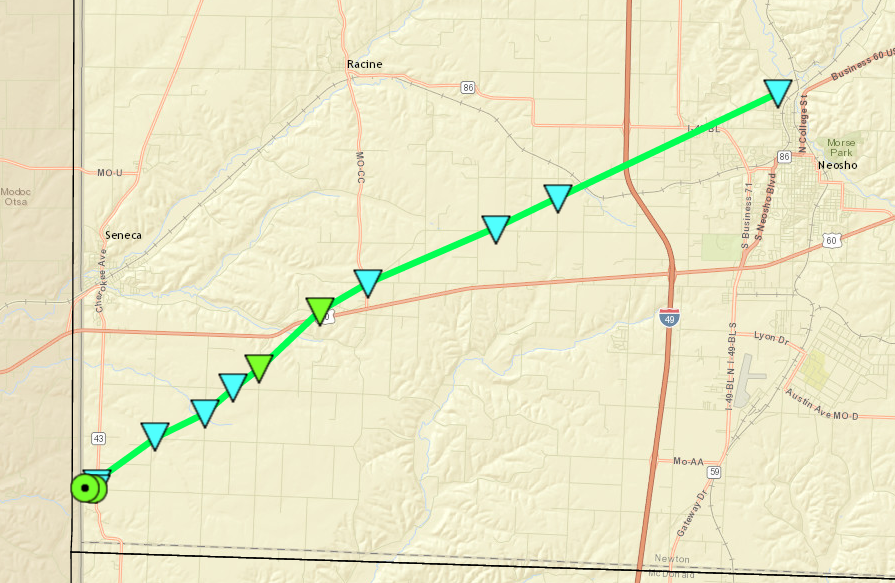 
|
||||||||||||||||
|
Tornado - Near Freistatt
Track Map 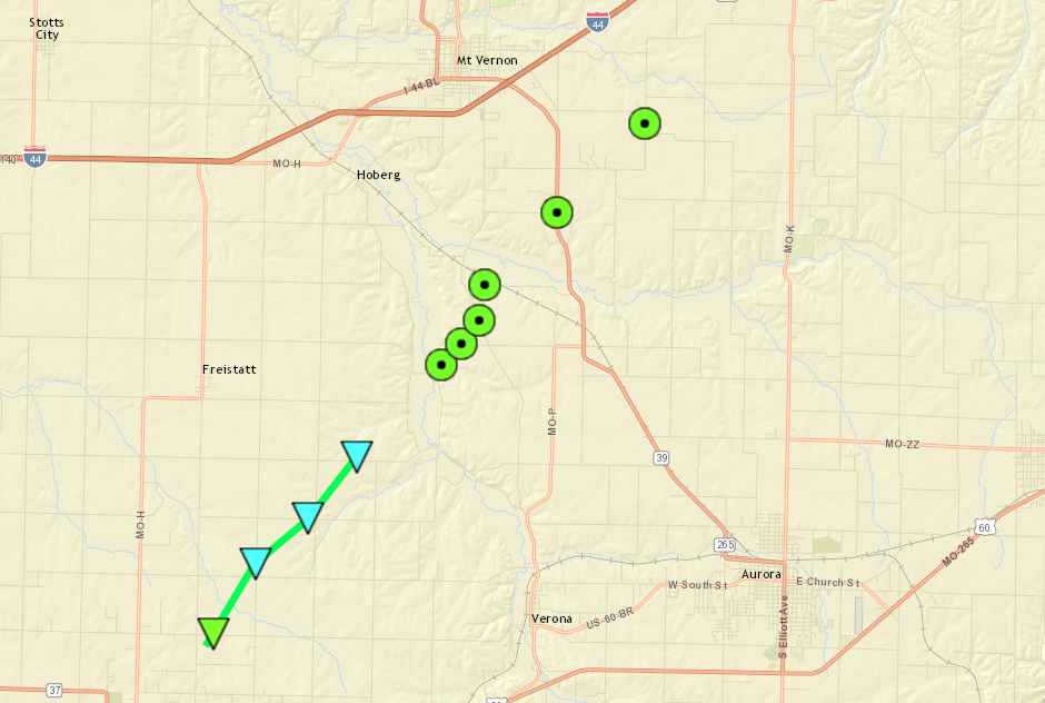
|
||||||||||||||||
|
Tornado - NW of Polk
Track Map 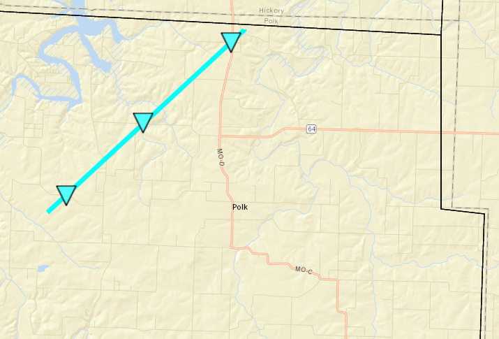
|
||||||||||||||||
|
Tornado - East of Flemington
Track Map 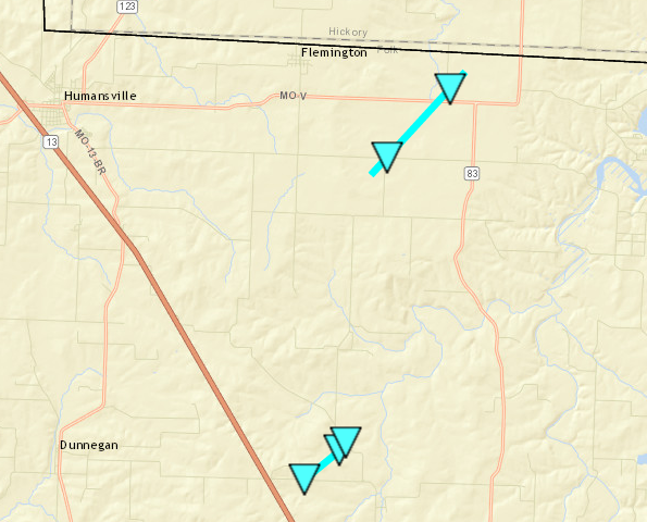
|
||||||||||||||||
The Enhanced Fujita (EF) Scale classifies tornadoes into the following categories:
| EF0 Weak 65-85 mph |
EF1 Moderate 86-110 mph |
EF2 Significant 111-135 mph |
EF3 Severe 136-165 mph |
EF4 Extreme 166-200 mph |
EF5 Catastrophic 200+ mph |
 |
|||||
Radar:

 |
Media use of NWS Web News Stories is encouraged! Please acknowledge the NWS as the source of any news information accessed from this site. |
|


 Weather Story
 Weather Map
 Local Radar