Springfield, MO
Weather Forecast Office
Overview
|
Two quick moving storm systems moved through portions of the Missouri Ozarks and southeast Kansas from the early morning of January 14th through the early evening of January 15th. The first system was mainly associated with an upper level jet streak and brought roughly a 1 to 3 inch snowband from west central Missouri and extreme southeast Kansas into southwest portions of MIssouri. A secondary jet streak arrived in the early morning hours of January 15th, with an Arctic cold front also moving through the area. This second system brought roughly another 1 to 3 inches of snow across nearly the same locations as the day before...extreme southeast Kansas, the southwest corner of Missouri and across the Missouri Arkansas border. Both days had some localized higher amounts within the heavier snow band. The two day total of snowfall ranged from around 3 to 6 inches from extreme southeast Kansas into southwest Missouri with some localized 8 inch amounts. Lesser amounts occurred further to the north and east. |
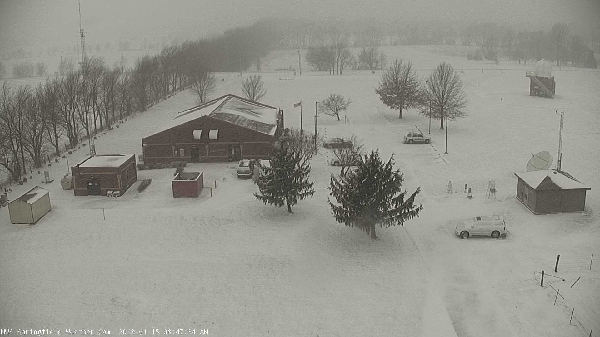 Snow at NWS Springfield Jan 15th, 2018 |
Snow/Ice
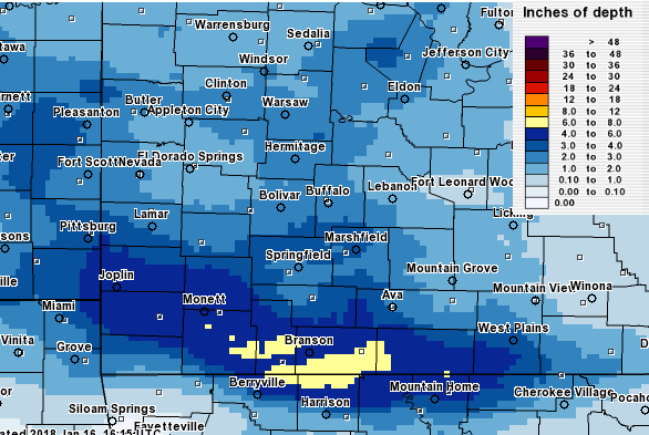
Snowfall amounts from the two storm systems.
 |
Media use of NWS Web News Stories is encouraged! Please acknowledge the NWS as the source of any news information accessed from this site. |
|
Current Hazards
Experimental Graphical Hazardous Weather Outlook
Submit a storm report
Local Storm Reports
Current Conditions
Observations
Lake Levels
Snowfall Analysis
Road Conditions
Satellite
CoCoRaHS
Graphical Conditions
Precip. Analysis
Forecasts
Forecast Discussion
Fire Weather
Aviation
GIS Forecast Maps
Activity Planner
Severe Weather
Winter Weather
Hurricanes
FAA Center Weather
Space Weather
Climatology
Records and Normals
Monthly Climate Summary
Local
National
Drought
Climate Science
Astronomical Data
US Dept of Commerce
National Oceanic and Atmospheric Administration
National Weather Service
Springfield, MO
Springfield-Branson National Airport
5805 West Highway EE
Springfield, MO 65802-8430
Business: 417-863-8028 Recording: 417-869-4491
Comments? Questions? Please Contact Us.


 Weather Story
 Weather Map
 Local Radar