Calling all NWS Springfield partners! The National Weather Service in Springfield, Missouri offers several training courses geared towards our various partners, and would love to spend a couple hours presenting on these topics! From Tactical Spotter Training, Radar, Squall Lines, and Flash Flooding to Weather and Communications for Dispatchers and Fire Weather in the Ozarks, there's a course for any interest and need! Click the tabs below for more information on the courses offered.
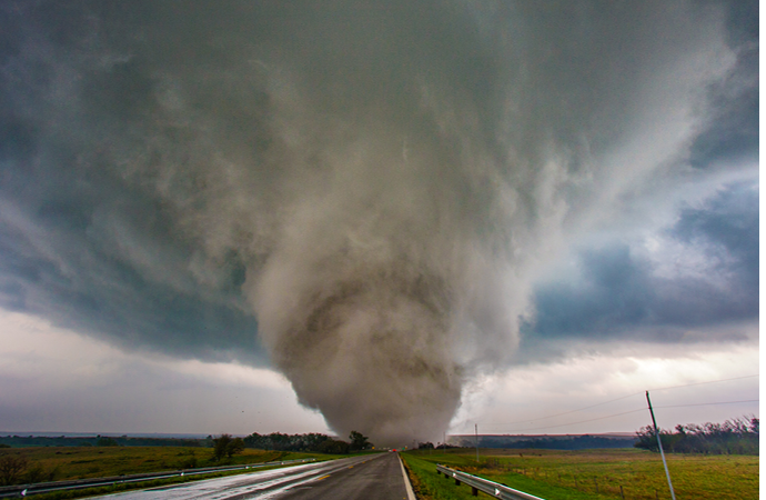
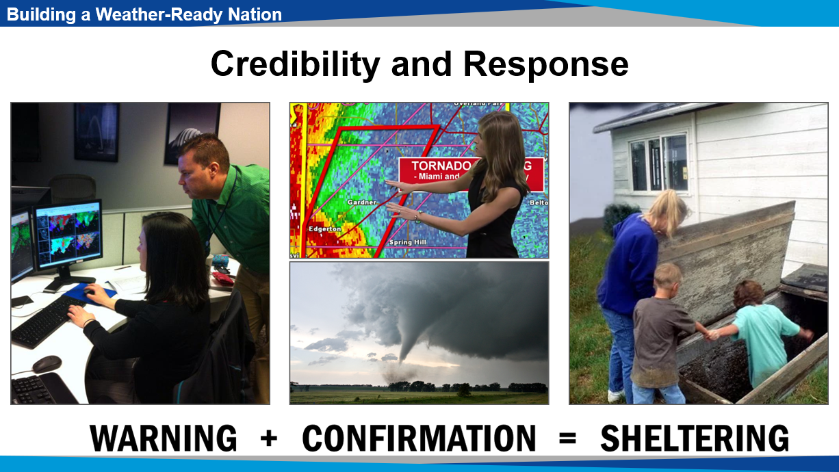
National Weather Service warning meteorologists depend on accurate ground truth confirmation from trained spotters during severe thunderstorm outbreaks. This intelligence is factored into warning decisions when tornadoes, large hail, damaging winds, or flash flooding are imminent or ongoing. As in the standard spotter training, this course will discuss types of severe storms, their appearance on radar, associated cloud features, and related hazards. The course will also address tactics to effectively deploy spotters and keep them safe when spotting, and how to efficiently communicate critical spotter information to the National Weather Service.
Groups with dedicated two-way communication such as EM, Fire, Police, Dispatch, and Amateur Radio. NOTE: General public is welcome, though an emphasis will be placed on organizing groups that utilize dedicated two-way communication.
POST Certified for Law Enforcement!
Suggested Prerequisite: |
Length: |
| Online SKYWARN Spotter Training | Approximately 90 Minutes |
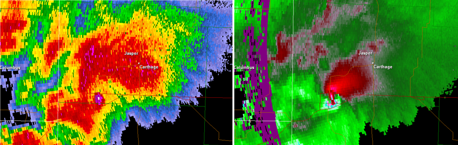
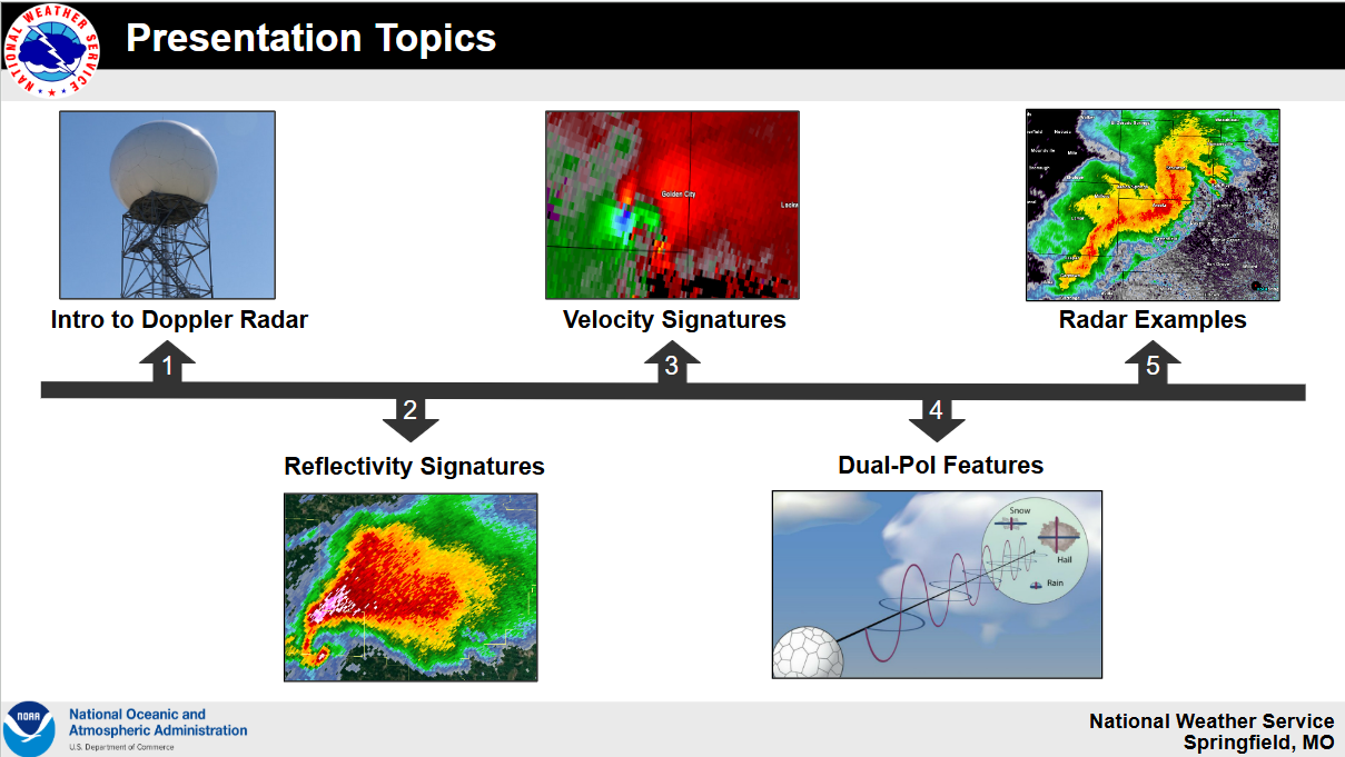
An understanding and utilization of radar is crucial to a wide range of National Weather Service partners in performing their operational goals. Storm structure and radar signatures conducive to hazardous thunderstorms will be discussed in this course. This material will also cover how the radar operates and utilizes a volume coverage pattern to sample thunderstorms in a three dimensional fashion. Reflectivity, velocity, and dual polarization data will be covered, along with how tornado debris signatures are recognized by National Weather Service warning meteorologists.
Intended Audience: |
Prerequisite: |
Length: |
|
Media, EM, Fire, Police, Dispatch, Amateur Radio, Parks, Hospitals |
None. Tactical Spotter Training Recommended |
Approximately 90 Minutes |
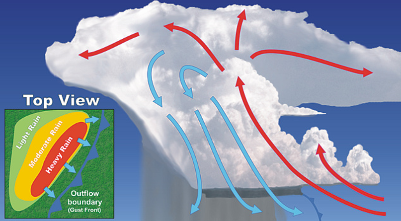
This course will focus on radar features associated with squall line hazards including tornadoes, damaging straight-line winds, and flash flooding. The basic physical processes which cause these hazards will also be introduced along with different structures to squall lines. Other topics that will be covered include National Weather Service warning strategies for squall lines, cloud formations, and storm spotting strategies.
Intended Audience: |
Prerequisite: |
Length: |
|
Media, EM, Fire, Police, Dispatch, Amateur Radio, Parks |
None. Radar and Tactical Spotter Training Recommended |
Approximately 90 Minutes |
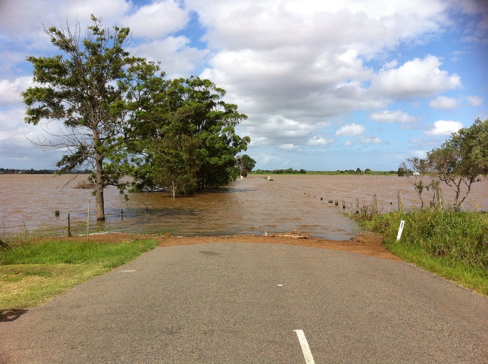
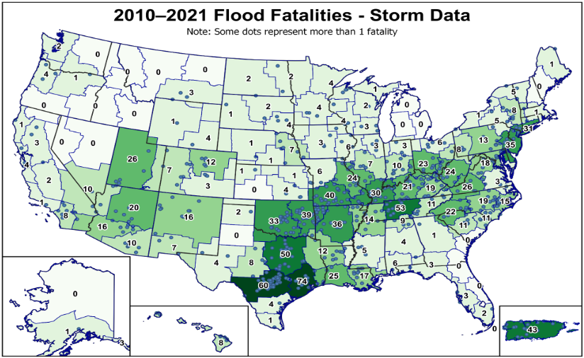
The Missouri Ozarks region receives one of the highest frequencies of flash flooding throughout the entire United States, if not the highest. The combination of rocky and rugged terrain, the presence of the Ozark Plateau, small basin characteristics, and the frequent occurrence of heavy rain events all create ideal conditions for flash flooding. All of these characteristics will be discussed along with small basin flash flooding, urban flash flooding, atmospheric ingredients that lead to flash flooding, how the NWS detects flash flooding, and flash flood hot spots across the Ozarks.
Intended Audience: |
Prerequisite: |
Length: |
|
Media, EM, Flood Plain Managers, Fire, Police, Dispatch, Parks, DOT |
None. |
Approximately 90 Minutes |
Telecommunicators are the life line for emergency services personnel and the public. They deal with numerous types of situations. This presentation deals with the weather aspect of your job. This presentation will outline the important partnership between the National Weather Service and the Dispatch Community. Communication methods and unique perspectives will be discussed. Lastly, we will complete a scenario based discussion exercise that is tailored to your county.
1. Identify weather related resources for more ways to get notified.
2. Discuss ways to communicate with multiple agencies, including the National Weather Service, during hazardous weather events.
3. Discuss ways to notify the National Weather Service of weather and damage reports for early prediction and better warning information.
4. Discuss various weather events and what the communication centers can do to better prepare and respond before, during, and after the event.
5. Review radar signatures and other key elements that field spotters are looking at and may report to you.
Intended Audience: |
Prerequisite: |
Length: |
|
Dispatchers and 911 Supervisors |
None |
Approximately 90 Minutes |
.png)
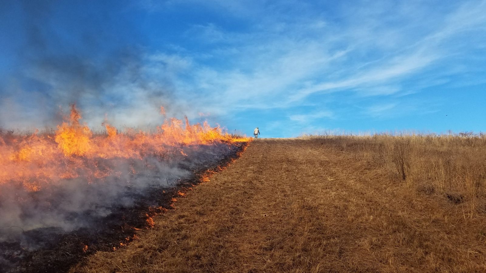
This course focuses on gaining a better understanding of weather and climate on the wildland fire environment. The course discusses weather’s influence on grassland and forest fuels, Red Flag Warnings, and spot forecasts. Weather information monitoring and forecasts for incidents such as public venue events, HAZMATs, and other weather sensitive events will be discussed
Intended Audience: |
Prerequisite: |
Length: |
|
Rural Fire, Dispatchers, EM |
None. |
Approximately 60 Minutes |


 Weather Story
 Weather Map
 Local Radar