
Two Pacific storms will impact the western U.S. this week with low elevation rain, mountain snow, and gusty winds. The second storm arriving Tuesday night into Wednesday may bring heavy to excessive rainfall and possible flooding for coastal central and southern California, while heavy mountain snow is possible across the Sierra Nevada mountains. Read More >
Last Map Update: Mon, Nov 16, 2026 at 2:56:13 am PST

|
Text Product Selector (Selected product opens in current window)
|
|





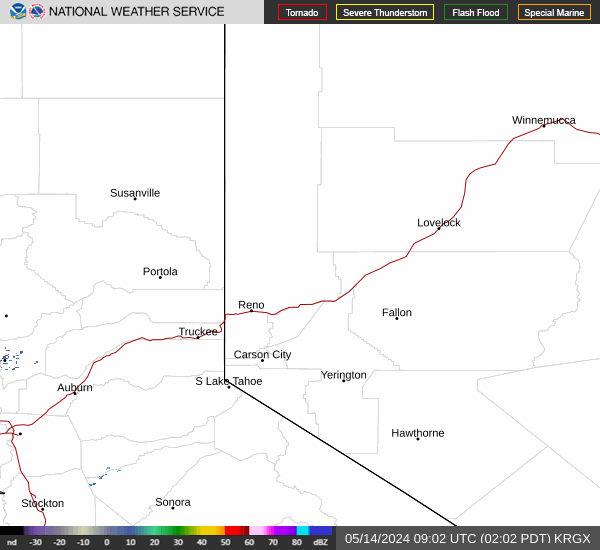 Radar
 Satellite
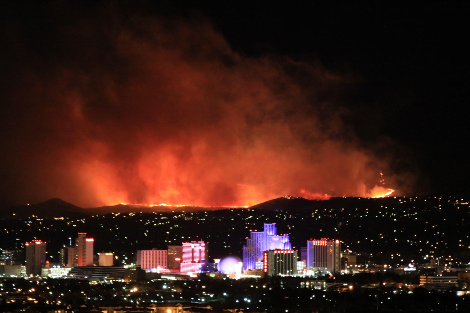 Fire Weather
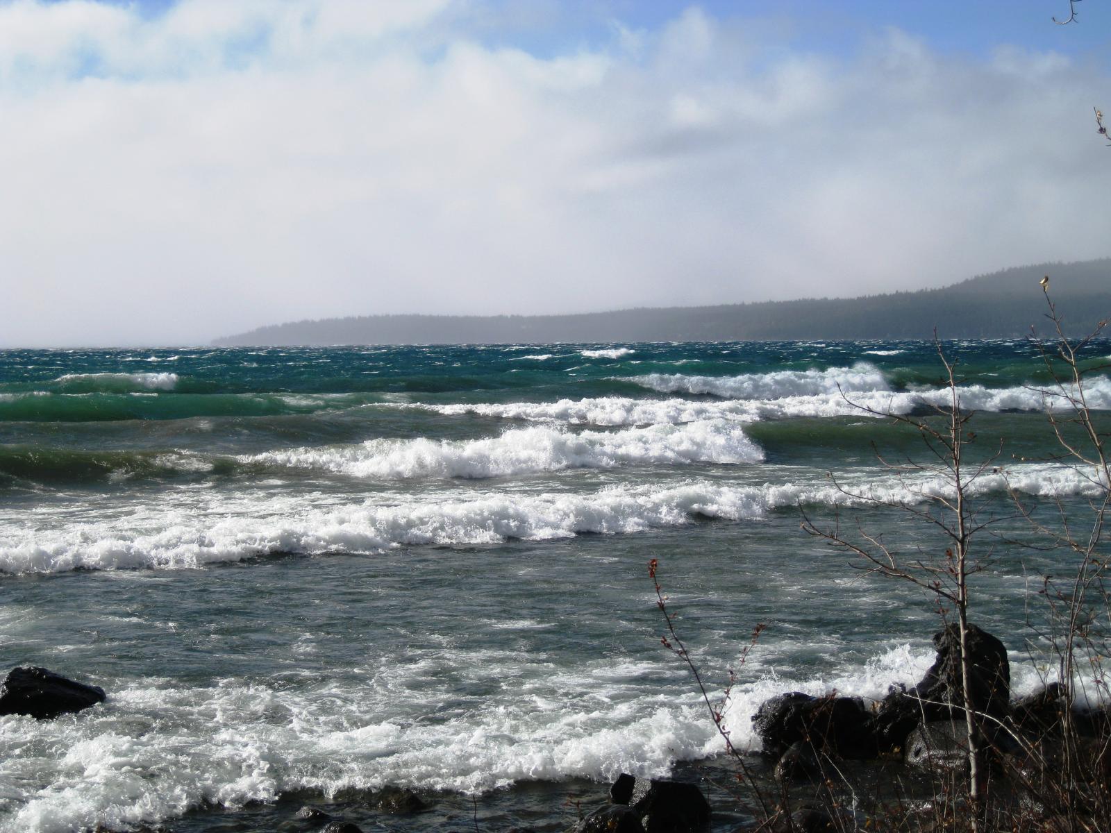 Lake Forecasts
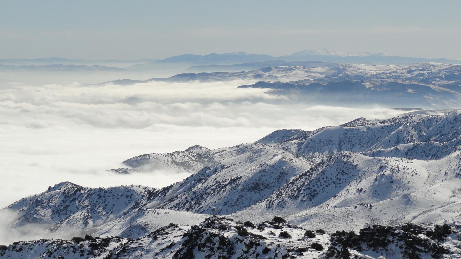 Snow & Avalanche
 Weather Stats
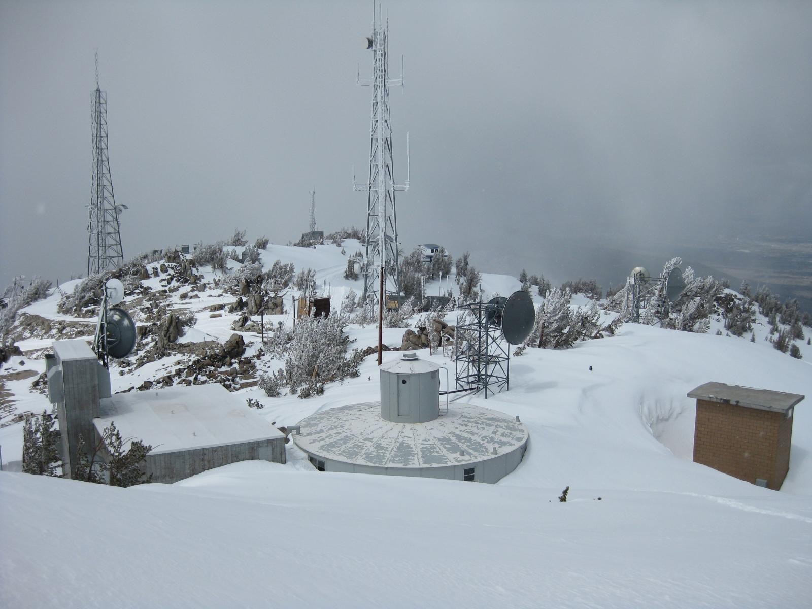 Mountain Observations & Remote Data
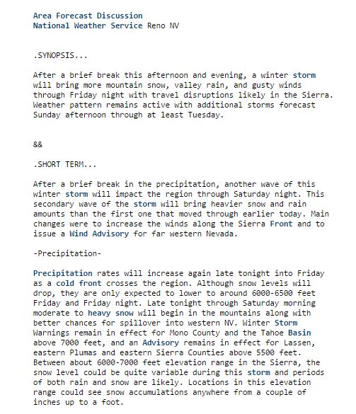 Forecast Discussion
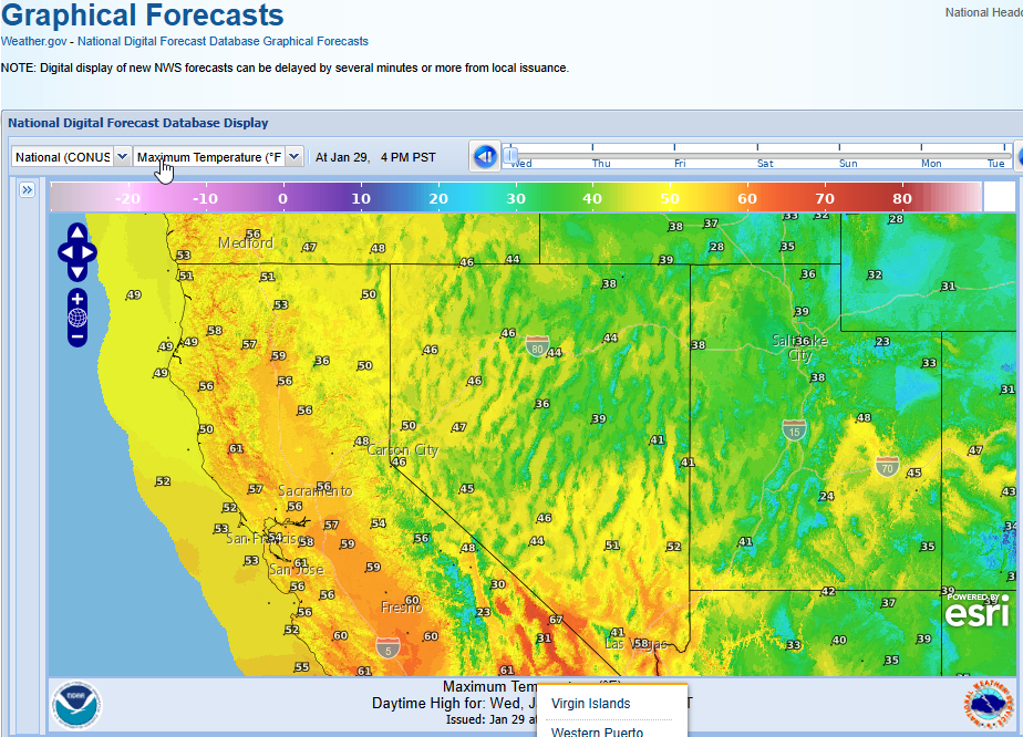 Graphical Forecasts
 Forecast Weather Table
 Experimental QPF Probability
 Experimental Winter Probability
 Follow us on X
 Follow us on Facebook
 Follow us on YouTube
 REV RSS Feed