
Dangerous and extreme heat will remain across portions of the southern U.S. this week. Heavy rainfall may bring significant flash flooding across portions of the Mid-Atlantic and Northeast through the night, and additional flash flooding concerns across New England on Wednesday. Monsoonal thunderstorms will bring a flash flood risk to the Four Corners region, especially in burn scar areas Read More >
Topeka, KS
Weather Forecast Office
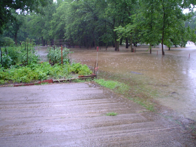
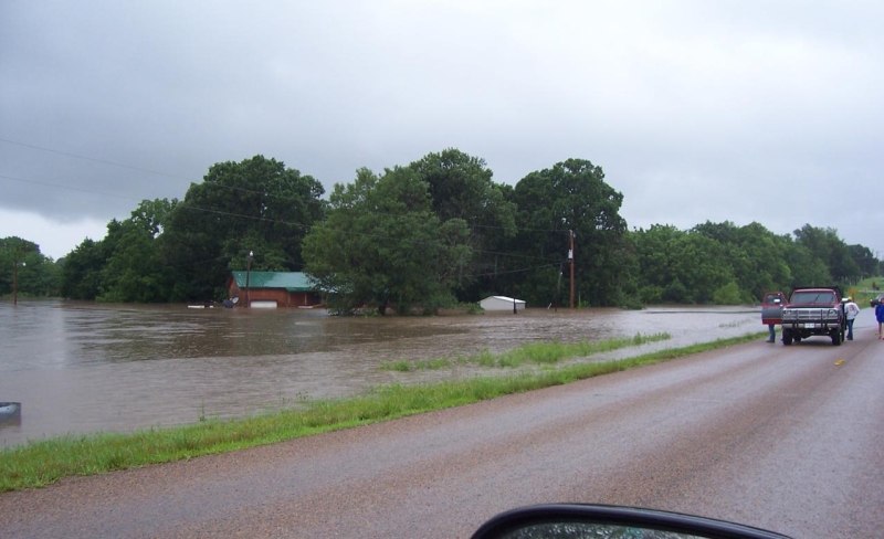
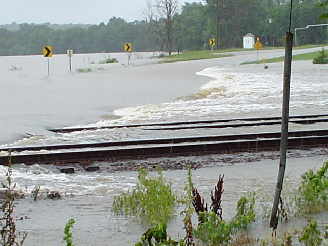
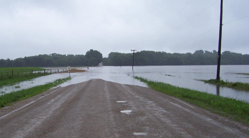
A tremendous amount of rain fell across portions of East Central Kansas between Wednesday, June 27 and Sunday, July 1.
| Preliminary Storm Total Precipitation |
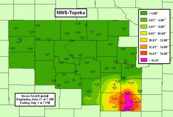 |
Thank you to local Storm Spotters, County Dispatchers and Emergency Management, local media members, and all others that have supplied information to the NWS-Topeka Office the past few days. Your help and dedication is much appreciated.
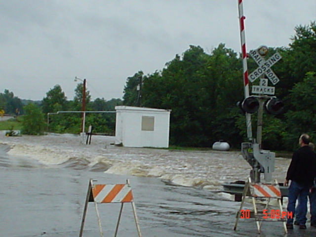
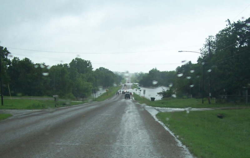
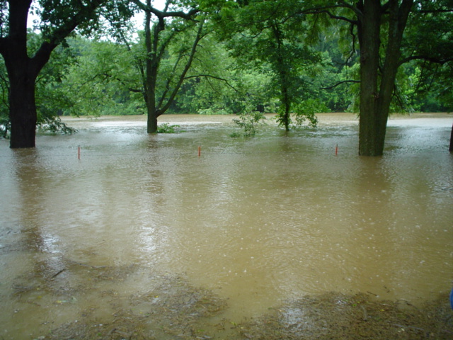
| Pictures below were taken near Lane, KS. | Pictures below were taken near Melvern, KS. |
 |
 |
 |
 |
 |
 |
 |
 |
US Dept of Commerce
National Oceanic and Atmospheric Administration
National Weather Service
Topeka, KS
1116 NE Strait Avenue
Topeka, KS 66616-1667
785-234-2592
Comments? Questions? Please Contact Us.

