
Dangerous and extreme heat will remain across portions of the Central U.S. this week, persisting across the Mid to Lower Mississippi Valleys, Gulf Coast, Southern Plains and portions of Texas. A heat wave over the Southwest will intensify late this week. Severe thunderstorms and flash flooding will spread from the Great Lakes/Ohio Valley to the Mid-Atlantic and Northeast the next few days. Read More >
NWS Topeka Fire Weather Information
Spot Forecast Request Form - Official Use Only
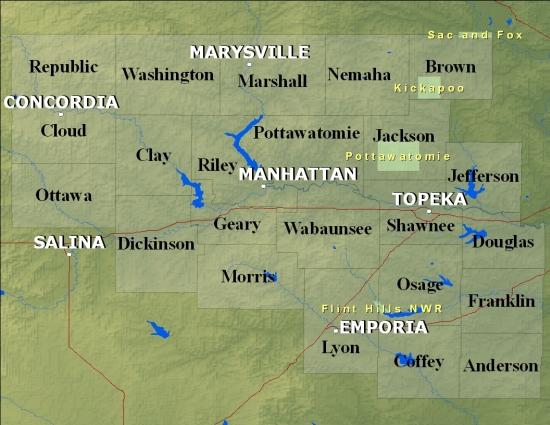
Click on Your County Below For Fire Weather Forecast
If the below links do not work, please access our backup page.
Useful Planning Links:
Hourly Weather Forecast Data/Graphs
*New* Weather Activity Planner
Products We Issue:
Fire Weather Planning Forecast
Observations:
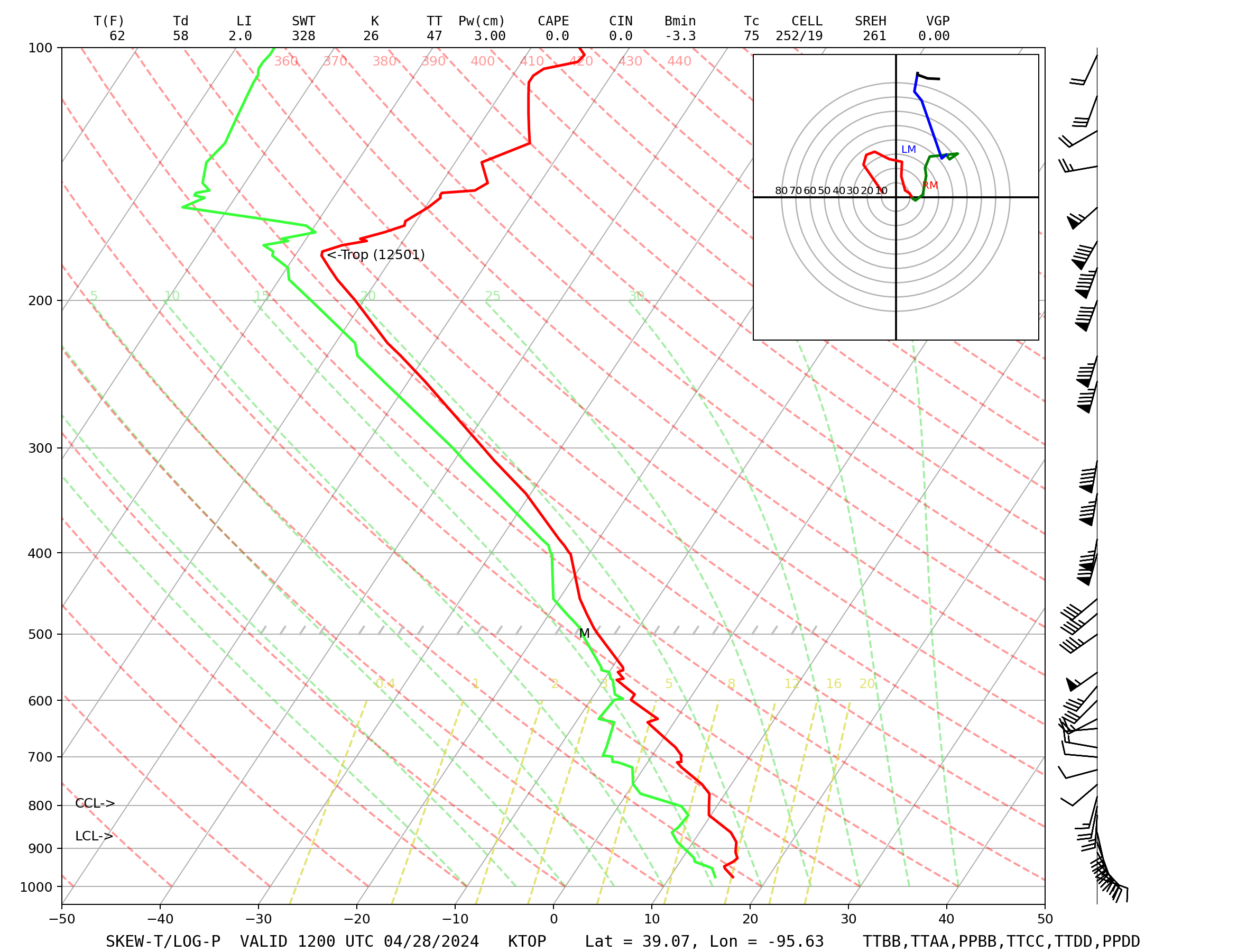
Latest Topeka Forecast Sounding
Drought and Smoke:
National Smoke and Air Quality Page
Kansas Flint Hills Smoke Management Website
Other Useful Links:
Kansas State Fire Marshals office
National Website for the NWS Fire Weather Program
Rocky Mountain Area Coordination Center
Wildland Fire Assessment System
Understanding Fire Danger Ratings
Kansas State Mesonet's Safe Prescribed Burning Tips
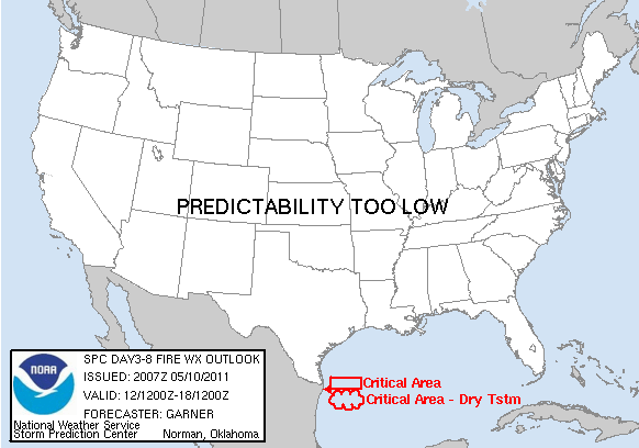
| SPC Fire Outlook Today | SPC Fire Outlook Tomorrow | SPC Fire Outlook Day 3-8 |
 |
 |
 |
| 10 Hour Fuels | Drought Monitor | Palmer Index |
 |
 |
 |

