A heat wave over the Southwest will intensify this week, peaking and expanding into the Intermountain West and northern High Plains this weekend. Critical to extremely critical fire weather conditions are forecast from the Northwest and the northern Great Basin this weekend. Particularly Dangerous Situation Red Flag Warnings have been issued. Read More >
Two Rounds of Heavy Snow Impact Northeast Kansas in One Week
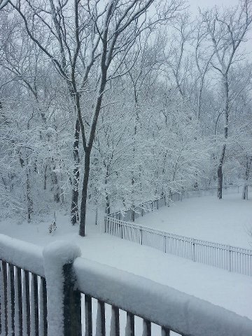
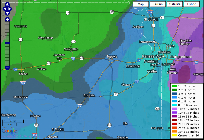
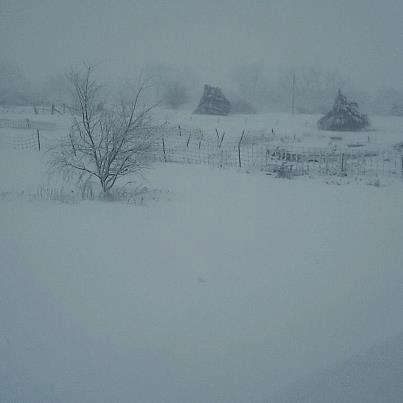
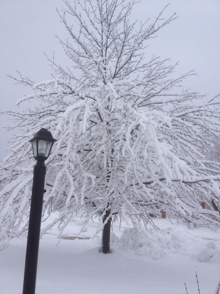
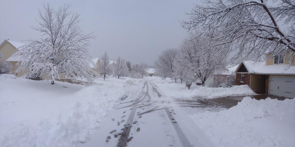
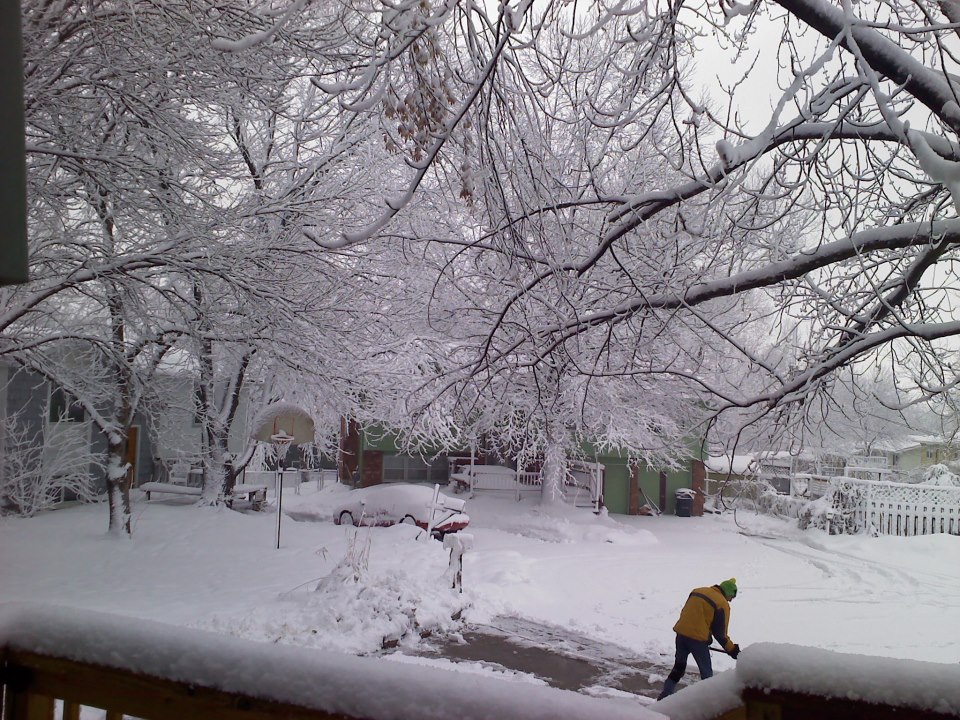
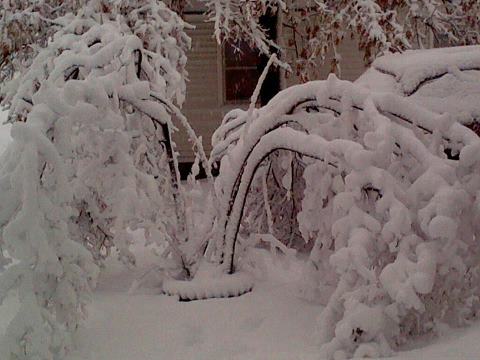
Over the past week, 2 powerful winter storms pummeled Northeast Kansas. Unlike the previous heavy snowfall accompanied by thunder, this storm system brought light to moderate snow that persisted from Monday afternoon through early Wednesday morning. As the expansive upper air disturbance strengthened over northwest Oklahoma into southern Kansas, light to moderate snow bands began to develop across east central Kansas near the Lawrence and Emporia areas as early as Monday afternoon. During the event, the area of surface low pressure tracked slightly further south across Oklahoma, confining the heavier snow bands to near and south of the Kansas Turnpike. As a result a tight gradient of snowfall ranged from 2 inches in Manhattan to near 10 inches in portions of Osage County (see snowfall map below). Even across Shawnee County (Topeka), snowfall totals contrasted from 0.5" in Silver Lake (northern Shawnee county) to 5.5" just southwest of Auburn (southern portion of county). At the Topeka Billard Airport, 3.4" of snow was measured at the end of the event. Here is the link to all snowfall reports and the first Winter Storm from February 21st.
 |
 |
 |
 |
|
|
 |