
Dangerous heat will expand from the Gulf Coast into the Southern Plains and Desert Southwest through week's end. Additional extreme heat impacting the Pacific Northwest will shift to the northern Plains by the weekend. Tropical Storm Bertha is expected to continue to impact portions of the northern Gulf Coast from the western Florida Panhandle to southeastern Louisiana through tonight. Read More >
Overview
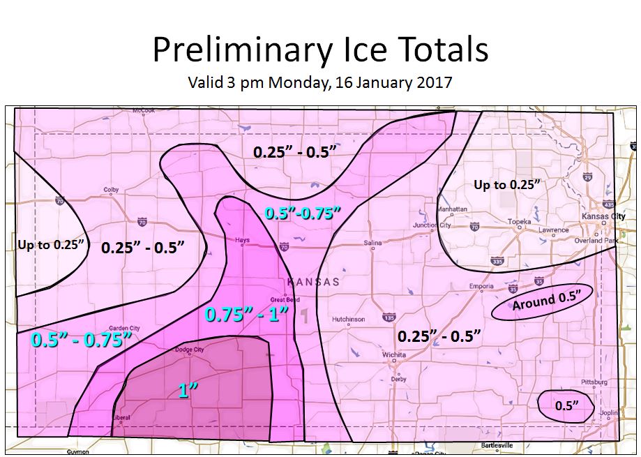
An ice storm was forecast to hit north central, northeast and east central Kansas between the 13th and 16th of January. The conditions where in place for a prolonged period of freezing rain over the area with a shallow arctic airmass over the state and warm moist are above it.
So why wasn't there as much ice as predicted?
There were a couple reasons for lower amounts of ice than were forecast. First, the freezing rain was slower to move into northeast parts of the state than forecast. Freezing rain was expected to begin affecting parts of northeast Kansas by the evening on the 13th. However the freezing rain didn't really begin to impact northeast Kansas until the overnight periods on the 14th. Second, the delay in the onset of the freezing rain allowed the arctic airmass over the region to weaken and so temperatures were not as cold at the surface as they could have been. So when the freezing rain finally arrived, the ice was not that efficient in accumulating on exposed surfaces. Below is a general map of the ice accumulations
Photos & Video:
 |
 |
 |
 |
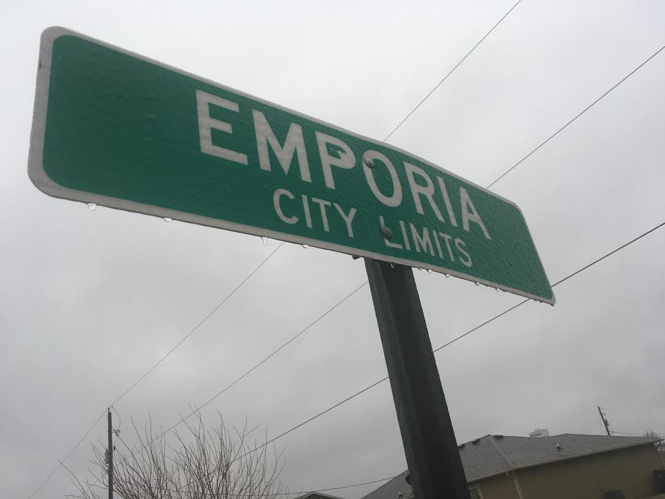
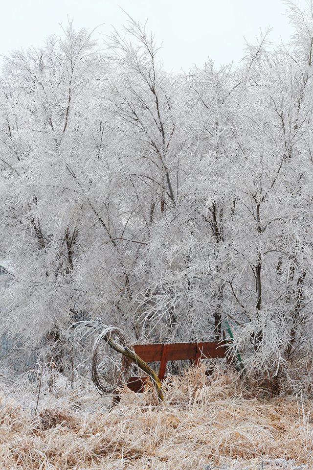
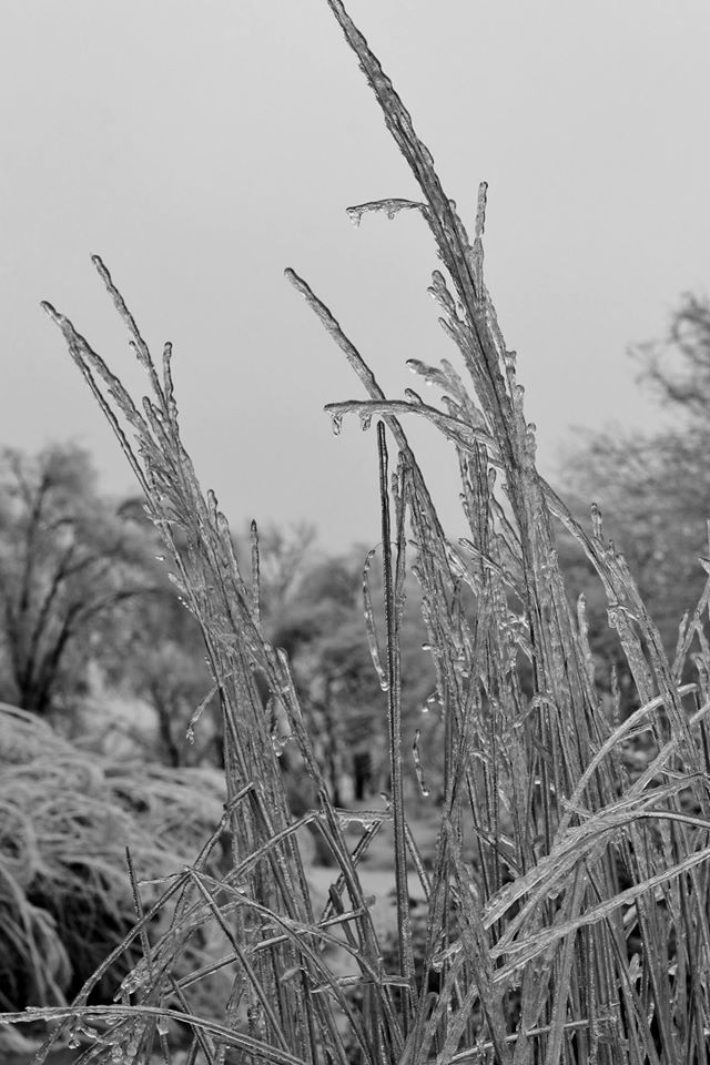
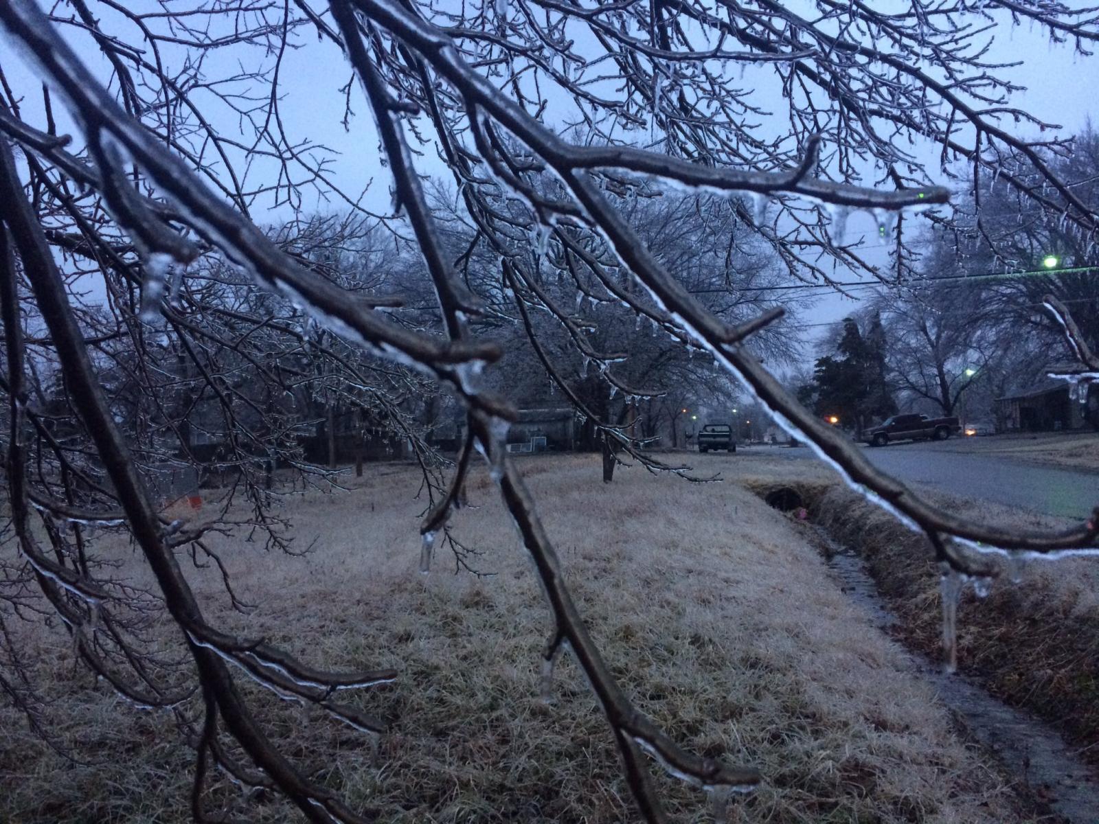
| Image courtesy of KVOE Radio, 15 January 2017 | Image courtesy of Tyler Trigg in Concordia, KS, 15 January 2017 | Image courtesy of Troy Newman Republic County, KS, 15 January 2017 | Image courtesy of John McKinney in Concordia, KS, 15 January 2017 |
 |
 |
 |
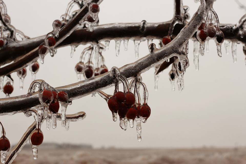 |
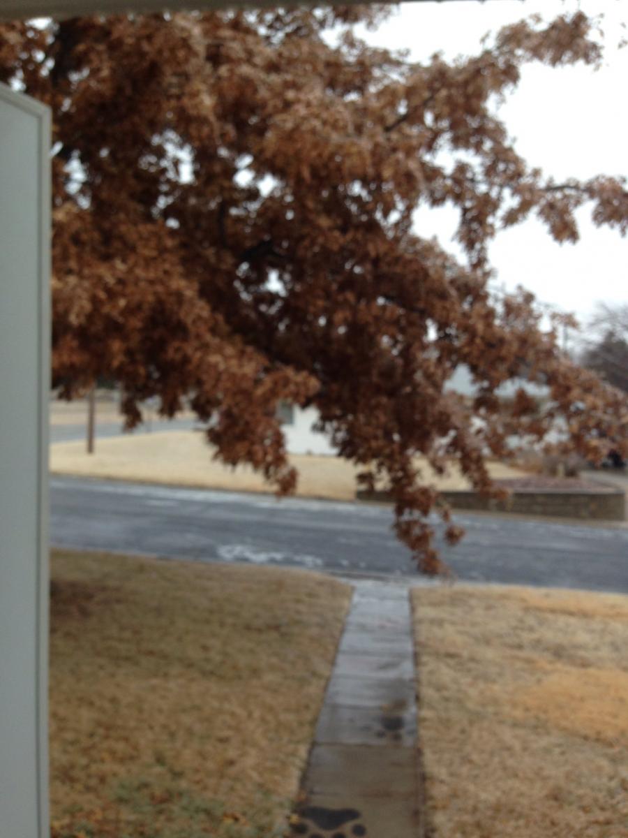
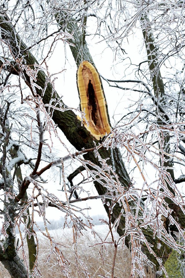
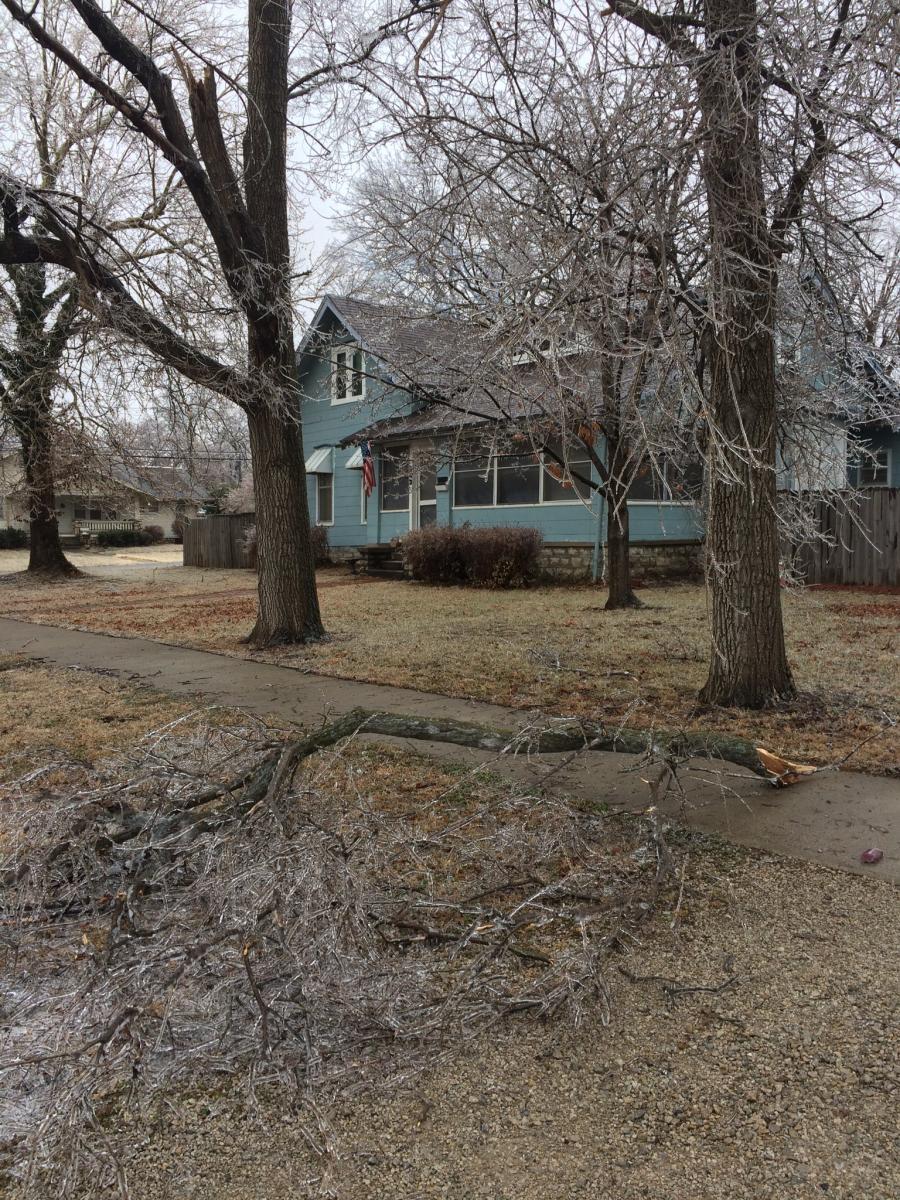
| Image courtesy of Troy Newman Republic County, KS, 15 January 2017 | Image courtesy of Troy Newman Republic County, KS, 15 January 2017 | Image courtesy of Troy Newman Republic County, KS, 15 January 2017 | Image courtesy of Troy Newman Republic County, KS, 15 January 2017 |
 |
 |
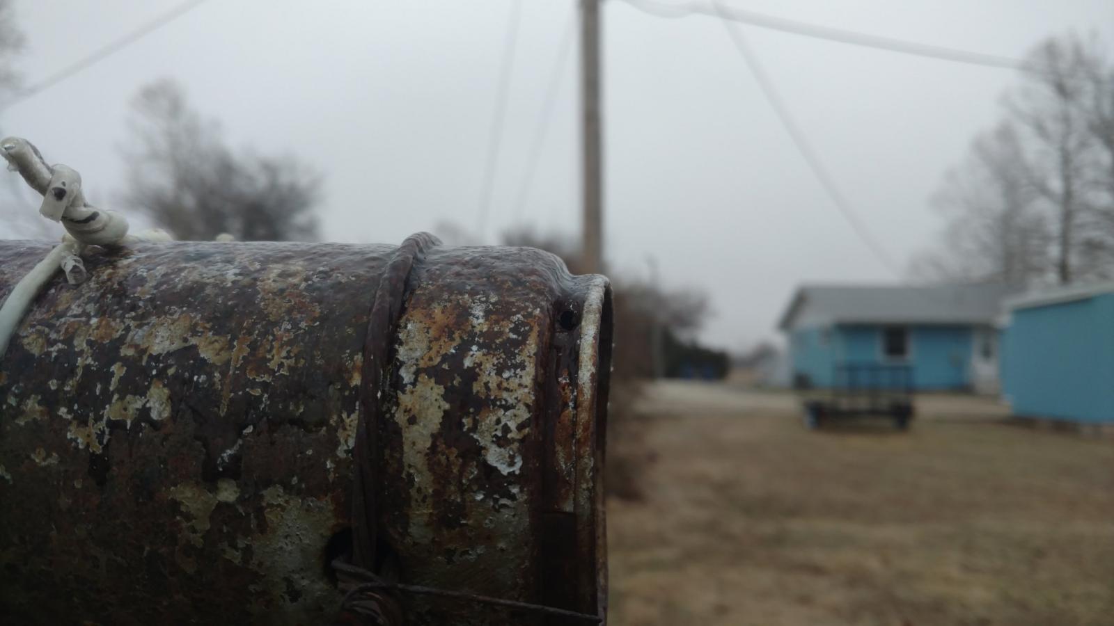 |
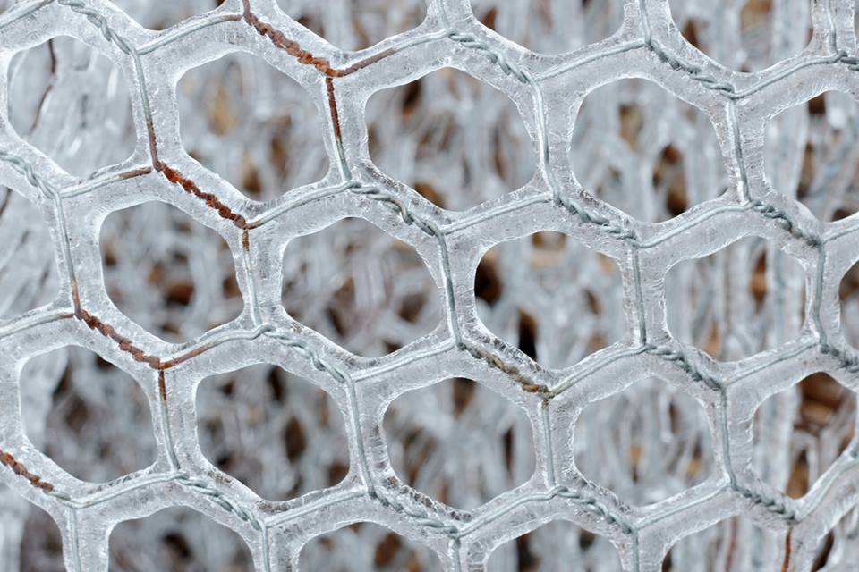
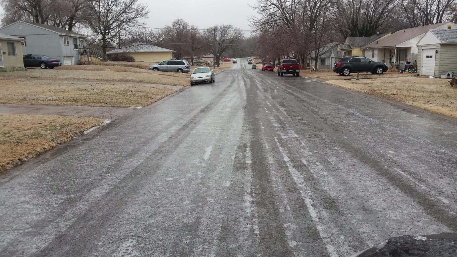
| Image courtesy of Chris Suchan, Garnett, KS, 15 January 2017 | Image courtesy of Chris Suchan in Garnett, KS, 15 January 2017 | Image Courtesy of RileyKSWx, Riley, KS, 15 January 2017 |
Storm Reports
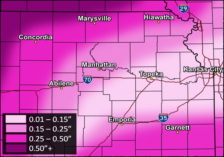
General Ice Accumulations Across North Central, Northeast and East central Kansas (see image right).
So what actually happened with the ice storm?
There were still periods of freezing rain across the state from Friday, January 13th through Monday January 16th. Parts of southeast Kansas did see freezing rain on the 13th and there were a couple pockets of ice accumulation up to a half inch. But the brunt of the storm really impacted central and western Kansas during the evening of the 14th and through the day on the 15th where portions of southwest Kansas had over an inch of ice accumulate on trees and power lines.
 |
Media use of NWS Web News Stories is encouraged! Please acknowledge the NWS as the source of any news information accessed from this site. |
|

