
Dangerous heat will expand from the Gulf Coast into the Southern Plains and Desert Southwest through week's end. Additional extreme heat impacting the Pacific Northwest will shift to the northern Plains by the weekend. Tropical Storm Bertha is expected to continue to impact portions of the northern Gulf Coast from the western Florida Panhandle to southeastern Louisiana through tonight. Read More >
Overview
|
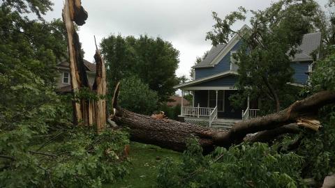
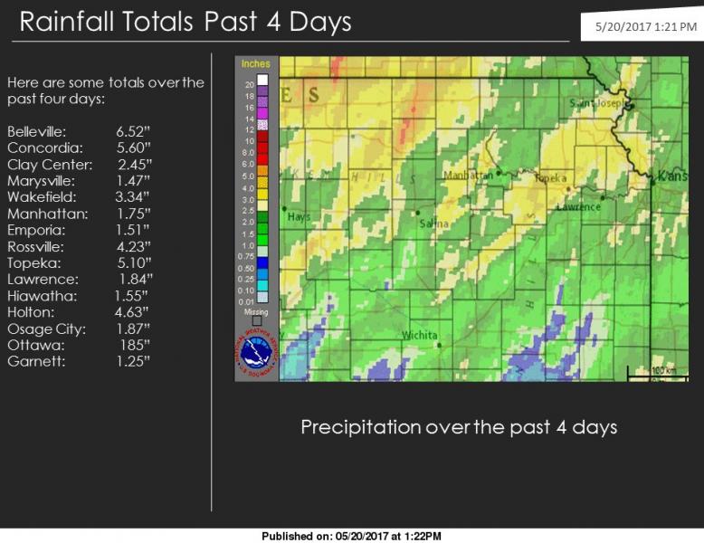
Another round of strong to severe storms rolled across Eastern Kansas Friday night, May 18th. Some of the hardest hit spots were in Jefferson county, which experienced significant tree damage and some damage to structures as well. Widespread heavy rainfall over the week culminated in some of the area rivers flooding, some lingering into early the next week. |
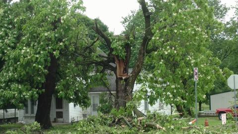 Tree Damage In Valley Falls |
Wind & Hail:
Wind
 |
 |
 |
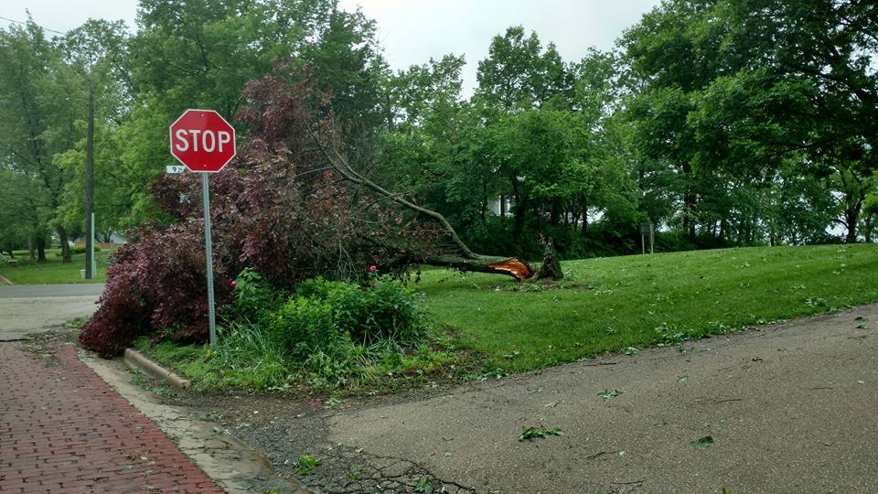 |
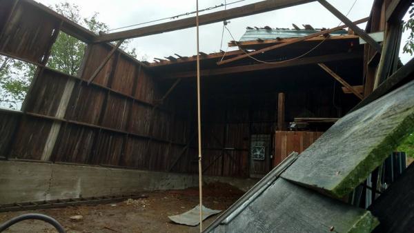
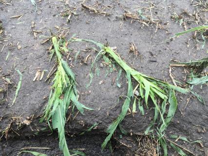
| Barn Damage, Barber Rd. | Crop Damage | Fallen Tree |
Hail
 |
 |
||
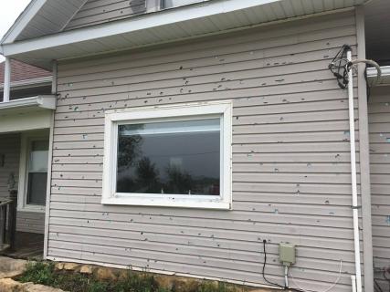
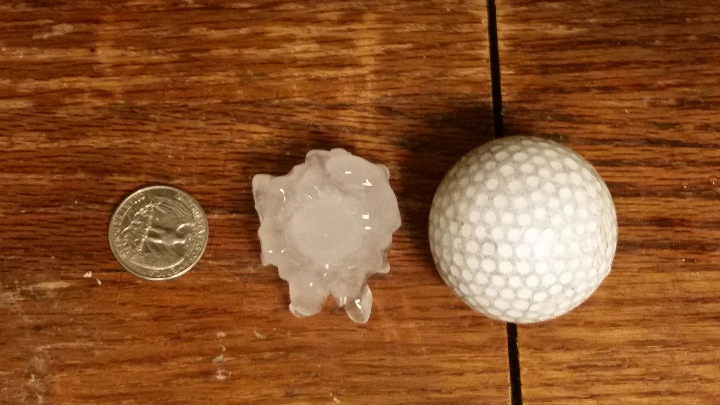
| Damaged Siding from Hail | Hail that fell in Southwest Topeka |
Photos & Video:
Photos Courtesy of Emergency Management
|
 |
 |
 |
| Radar Loop |
Storm Reports
Rain Reports
 |
Media use of NWS Web News Stories is encouraged! Please acknowledge the NWS as the source of any news information accessed from this site. |
|

