
A slow moving front will produce a threat for heavy rainfall and severe weather from New Mexico into the western High Plains through the weekend. Heavy rainfall is also expected this weekend in South Florida. The Bering Sea storm continues to bring heavy precipitation, strong winds, and minor to major coastal flooding through the weekend across western Alaska. Read More >
Overview
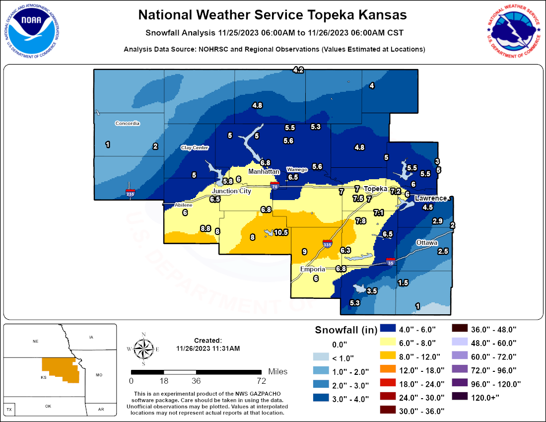
On November 25, the Saturday after Thanksgiving, a snowstorm affected much of the state of Kansas. In particular, a band of heavy snow impacted a swath from southwest Kansas eastward through Wichita and then northeast through Topeka. The official two-day snowfall total in Topeka was 7.2", making this storm the third largest November storm on record. Southwest of Topeka some places saw even higher totals, with parts of Dickinson, Morris, and Lyon Counties seeing reports as high as 7" to 10.5". As this storm occurred Thanksgiving weekend, the normal weekday commutes weren't affected but there were still many travelers on the road. Accidents and slide-offs were widespread on some of the area highways.
Snow Totals
Map showing snowfall reports we received across the area. Contours are analyzed based on a combination of radar and observational data, as well as the observed point snowfall reports.
Photos
 |
 |
 |
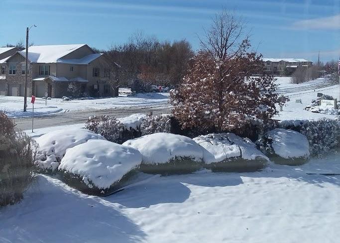 |
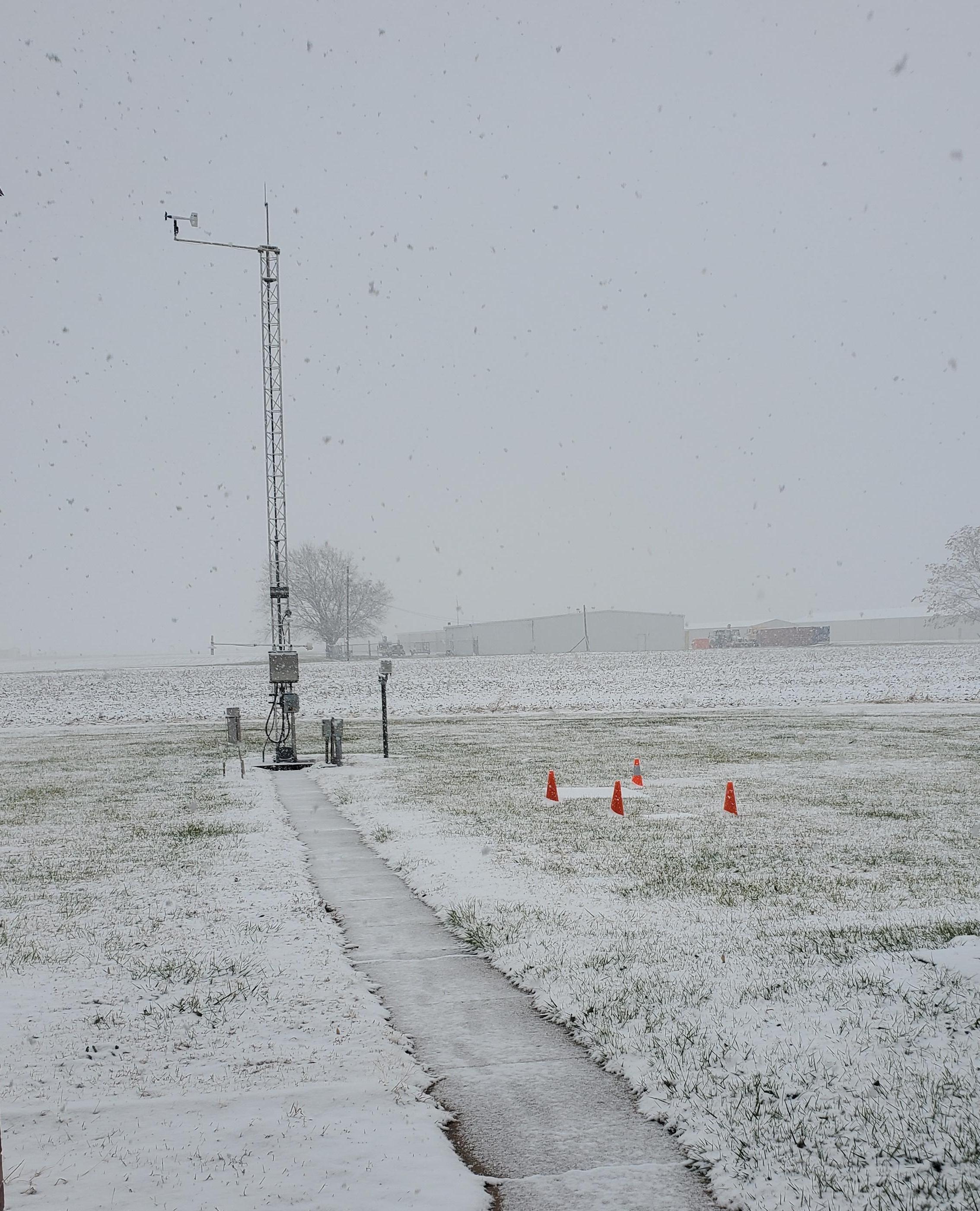
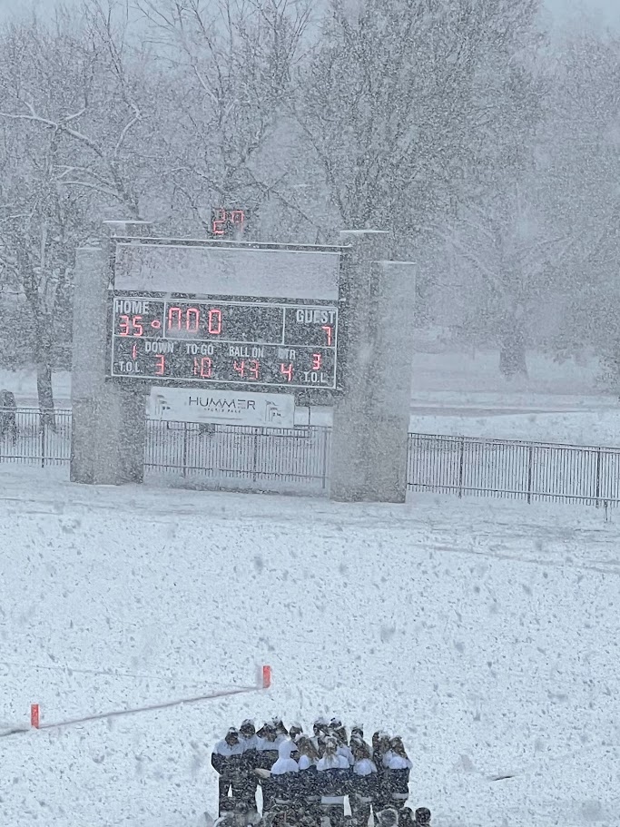
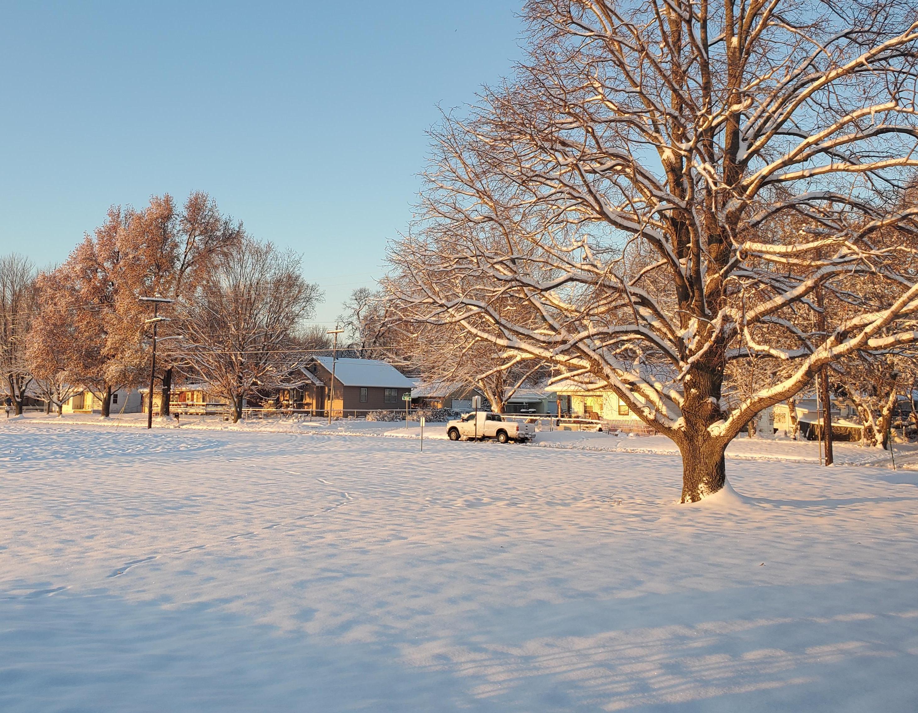
| Beginning stages of the snow at the NWS office in Topeka. | Heavy snow in Topeka at a high school state football playoff game. Photo courtesy of Jennifer Smith. | View from the NWS Topeka office the following morning. | View in Lawrence the following morning. Photo courtesy of Chelsea Picha. |
Radar/Environment
 |
 |
 |
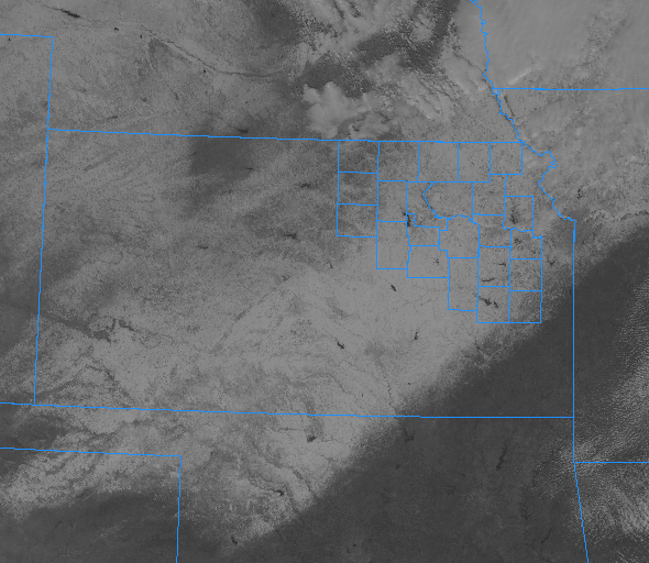 |
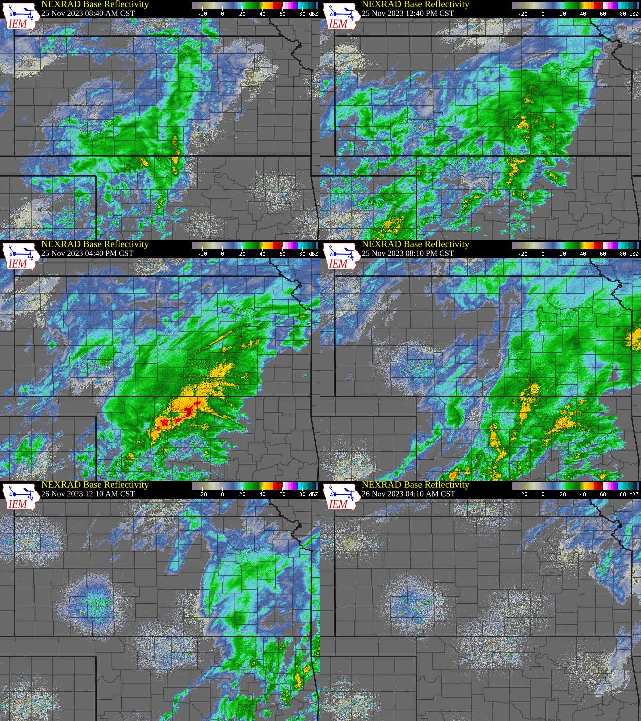
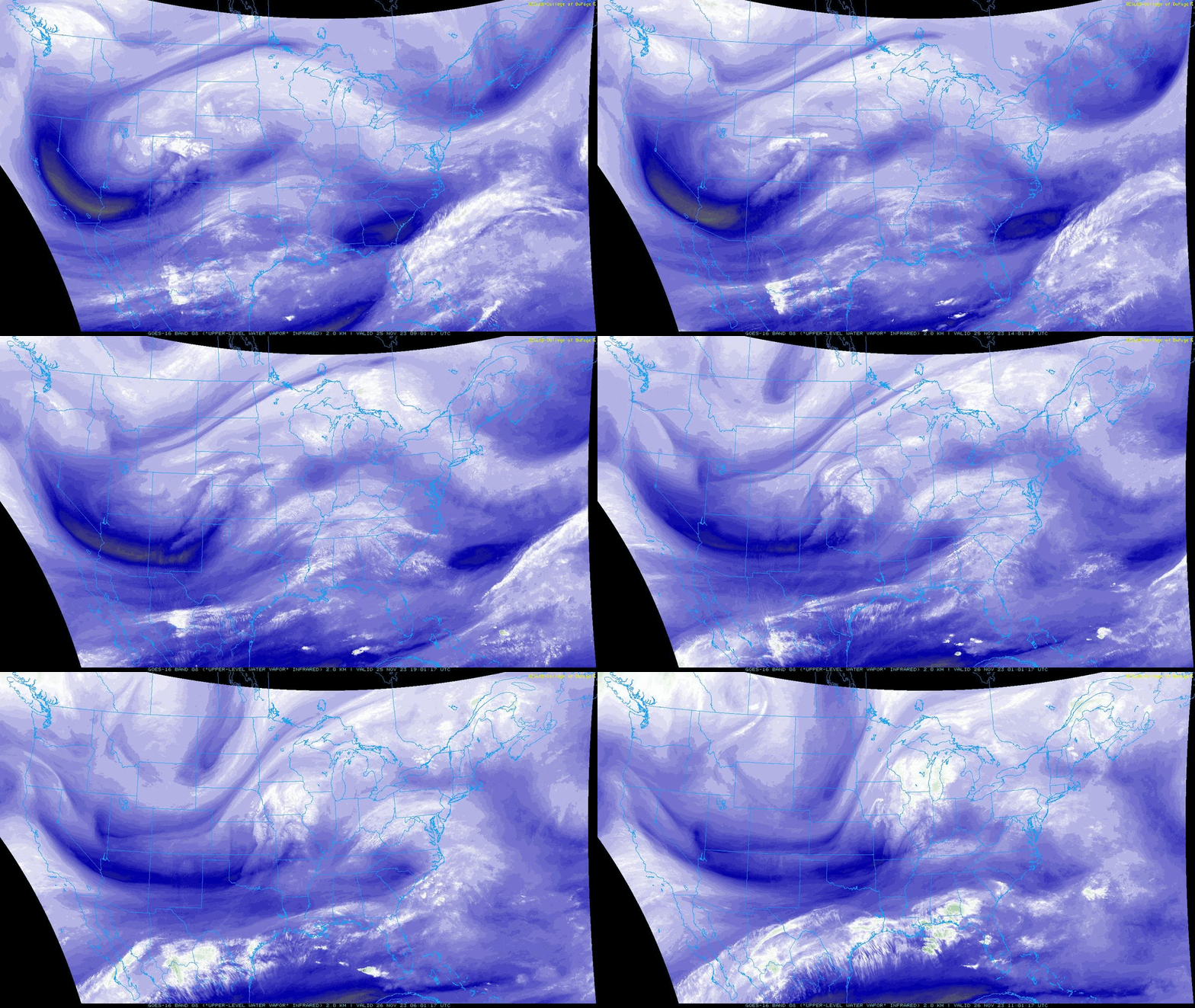
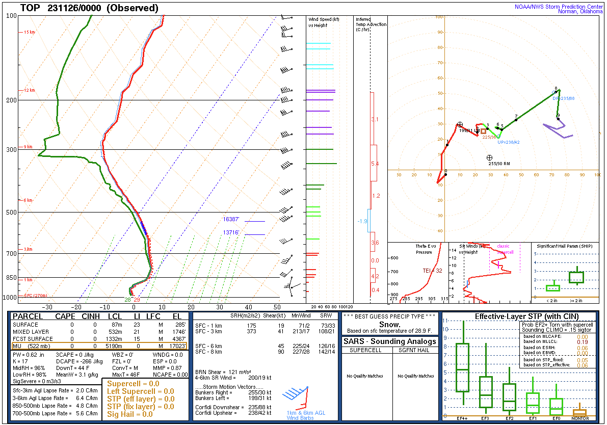
| Kansas Radar Loop | CONUS-wide water vapor satellite loop of the storm as it moved through the central US. | 0z Sounding at Topeka. Note the deep saturation (green and red lines close together) with temperatures entirely below freezing. | Satellite view on Sunday Nov. 26 of the previous day's snowfall. |
 |
Media use of NWS Web News Stories is encouraged! Please acknowledge the NWS as the source of any news information accessed from this site. |
|



 Follow us on X
 Follow us on Facebook
 Follow us on YouTube
 TOP RSS Feed