
Scattered thunderstorms and widespread showers are expected from the Texas coast to the central Appalachians today. Heavy to excessive rainfall will continue in southern California into the Desert Southwest through Saturday. Heavy rain will pose a risk of flash flooding, especially across burn scar and urbanized regions. Read More >
A strong cold front moved through the area on Thanksgiving dropping temperatures into the 20s during the evening hours. Freezing rain developed across all of northeast Kansas Thursday night into Friday. A coating of ice developed on trees, power lines and area roadways became slick and hazardous with numerous accident reported.
Several more rounds of freezing rain moved northeast across north central and northeast Kansas Saturday night through Monday morning due to a slow moving upper level storm system. During the day Sunday much of east central Kansas warmed above freezing and turned the freezing rain to rain which lasted through Monday morning across east central Kansas. Meanwhile, much of the area to the west of a Hiawatha, to Topeka, to Emporia line remained at or slightly below freezing which caused a significant ice buildup of ice on trees and power lines. Thousands of customers lost power across central and north central Kansas due to power lines and large tree branches snappng due to the weight of the ice.
The upper level storm system lifted north across Nebraska Monday afternoon bringing an end to the wintry precipitation. The greatest ice accumulation reported to the National Weather Service in the Topeka County Warning Area was 0.75" of ice in White City. Below is a map of ice accumulations across north central, northeast and east central Kansas. With this storm system, trees that still held leaves typically had branches start to break when the total ice diameter exceeded 0.35" to 0.5".
.PNG)
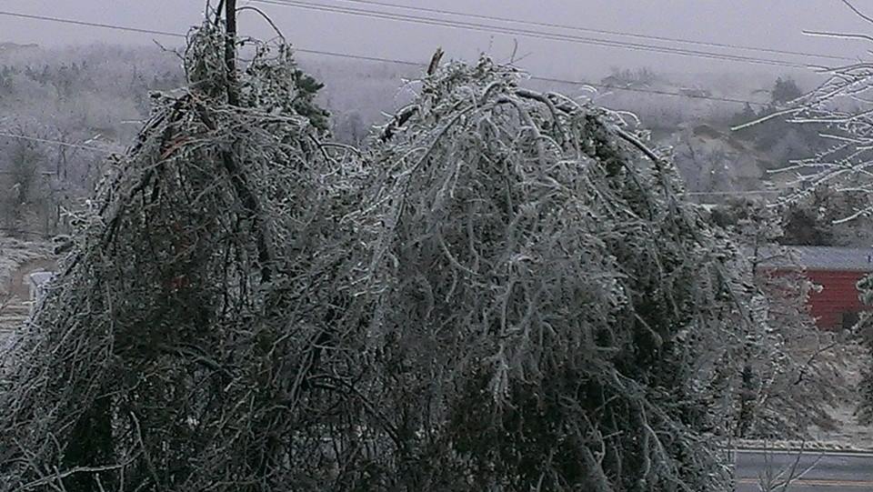
Here are some pictutres of the accumulating ice from our first winter storm of the 2015-2016 winter season.
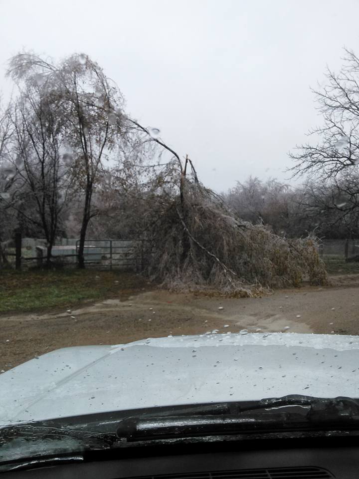
Burlingame, KS

Morrill, KS
Junction City, KS
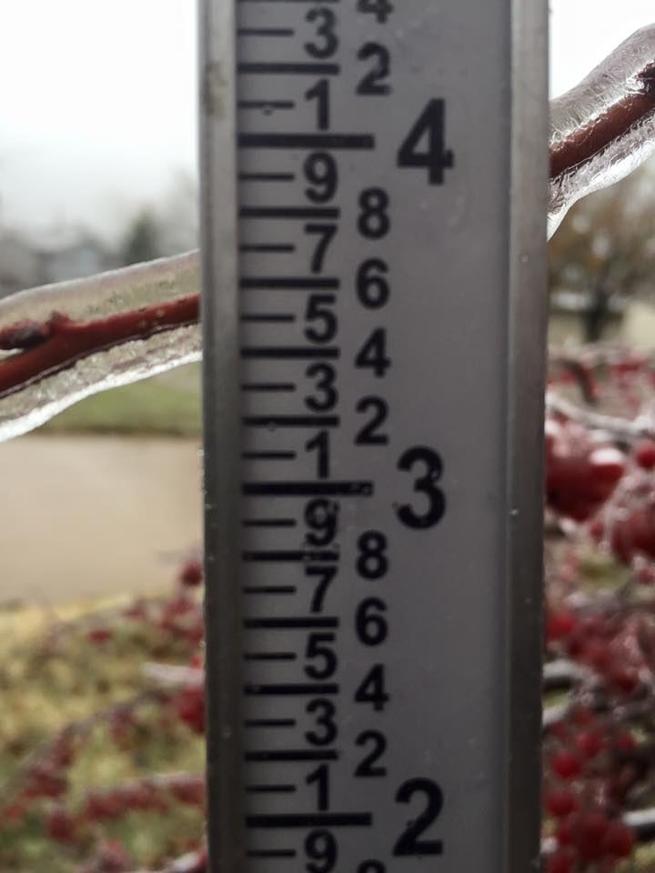
Topeka, KS

