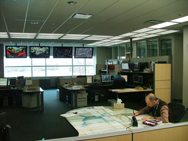
Operations floor of the Storm Prediction Center (photo by Greg Carbin). |
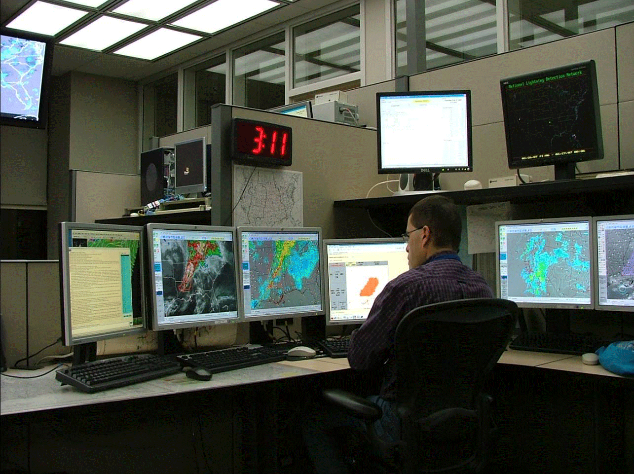
Operations floor of the Storm Prediction Center (photo by Greg Carbin). |
Severe weather in the United States causes numerous deaths and injuries and billions of dollars of damage. In a typical year, more than 1,200 tornadoes occur throughout the United States and nearly 12,000 reports of wind and hail are received from local law enforcement and the public. National Weather Service forecasters are the first line of defense in predicting severe weather.
Days before thunderstorms occur, forecasters at NOAA’s Storm Prediction Center (SPC) in Norman, Oklahoma, issue outlooks that let people know severe weather is possible. Forecasting tornadoes and severe weather can actually begin several days to a week in advance of an actual outbreak. “Taking a look at the forecast models, we can get a pretty good sense for whether severe weather is possible when it’s over a week away. We may not know the exact timing yet at that point, but as the severe weather event grows nearer, we are able to give more details on the locations that may be impacted and the timing of the event,” says Greg Carbin, Warning Coordination Meteorologist at SPC. The SPC provides severe weather forecasts up to eight days out and is responsible for issuing Tornado and Severe Thunderstorm Watches. Tornado and Severe Thunderstorm warnings are issued by the local NWS Weather Forecast Offices (WFO).
SPC has a team of forecasters who focus on various types of hazardous weather. They focus on pattern recognition, which plays a huge role in severe weather forecasting, especially during the Outlook phase. Carbin further explained “we understand what the pattern of the atmosphere needs to be in for severe weather to occur. We begin to see patterns several days in the advance of the outbreak. Forecast models give some insight and we use multiple global models to understand the state of the atmosphere.” During the late April 2014 outbreak, the outlook forecast was identifying the potential 5 days out, but the specifics of the outbreak at the time were still uncertain. Typically, details of an outbreak will become more apparent one day out. During this particular event, veteran forecasters were confident there was going to be an outbreak, but could not identify the exact day of the outbreak. Carbin stated, “On Monday it was not clear if the day of the outbreak would be on a Wednesday or a Friday. The forecast model resolution is not as exact as you want it to be, but we can see that atmospheric conditions are pointing to something big is going to happen.” This is one of the many challenges forecasters face.
As you move closer to the day of the event, there is typically a lot of media attention and hype surrounding the pending event. When forecasters have to make the decision to put an area under a Tornado Watch it is “extremely stressful and a huge responsibility” Carbin stated due to the implications of issuing a watch. At times, the lead forecasters have to decide whether they are going to put millions of people in a Tornado or Severe Thunderstorm Watch. Depending on the location, this could have major implications for the local authorities. For instance, for New York City and Chicago, putting millions of people under a Watch means that certain cities will have to open Emergency Operation Centers (EOC) and put other resources on standby.
On the day of the outbreak, the office is a buzz with activity. In the operations area, meteorologists get to see and hear every warning being issued throughout the country. There are large monitors that will flash when forecast offices issue tornado and severe weather warnings and will also produce warning sounds. For every warning issued, the forecasters have to look at the monitor and see the offices issuing the warnings. This gives the forecasters the ability to look at any storm in the country and see that the WFO has warned on the storm. Keep in mind, that during an outbreak, the workload is busy and intense, but at the same time, especially during the outbreak, SPC is still responsible for issuing products and following their regular schedule. “It is truly a team effort and people jump in as necessary” Carbin stated.
This team effort is also evident by the way SPC works together and collaborates with the local offices before issuing a Watch. They coordinate with all WFOs that will be in the Watch area and discuss specifically the counties included and timing Watches. Considerations need to be made for the time of year and time of event. They also have to take into account different rules apply to different parts of the country. For instance, not all EOCs open when a Watch is issued but some do. Also, if severe weather is expected during the nighttime hours, sometimes Watches are issued ahead of the 10 o'clock news to keep the public aware about possible severe weather during the nighttime hours.
Carbin explained as a forecaster, “knowing the destructive force of a tornado, living in central Oklahoma, and seeing destruction first-hand, you can become overcome by a dreadful feeling of knowing that this will not end well. You know the power of the storms. There is a very eerie feeling that comes over you, especially if storms occur overnight when people are sleeping. You can watch the storms on radar and see the towns the storms are crossing and realize the potential damage. Our role is to protect life and property. I keep that in front of my mind at all times.”
“While storm forecasts are not exact yet, they have vastly improved over the past couple of decades due to more satellites in orbit, more global models, and our computing power”, Carbin explained. In the case of tornado predictions, the first thing forecasters look for is the potential for thunderstorms. Tornadoes can only occur if thunderstorms happen first. "You can't have one without the other," Carbin said. Dangerous weather can occur anytime and anywhere.

