
A heat wave over the Southwest will intensify this week, peaking and expanding into the Intermountain West and northern High Plains this weekend. Critical to extremely critical fire weather conditions are forecast from the Northwest and the northern Great Basin this weekend. Particularly Dangerous Situation Red Flag Warnings have been issued. Read More >
Washington CWSU
Center Weather Service Unit
 |
PHL Weather |
 |
| For ATC Planning Purposes Only - See AviationWeather.gov if data is not current |
For More information on PIREPs and Observations visit aviationweather.gov
PHL Snow Forecast Page here
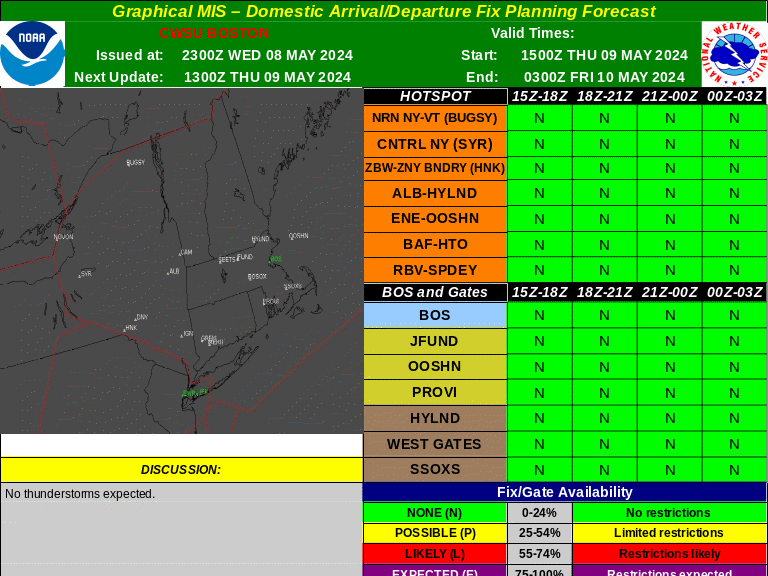
Forecast Products
|
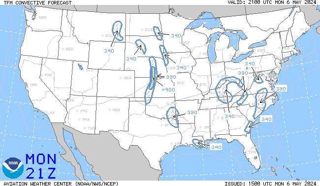
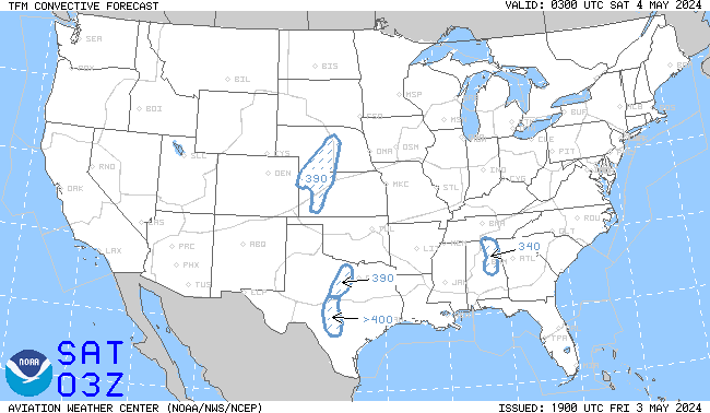
TCF 4 Hour
|
TCF 6 Hour
|
|
TCF 8 Hour
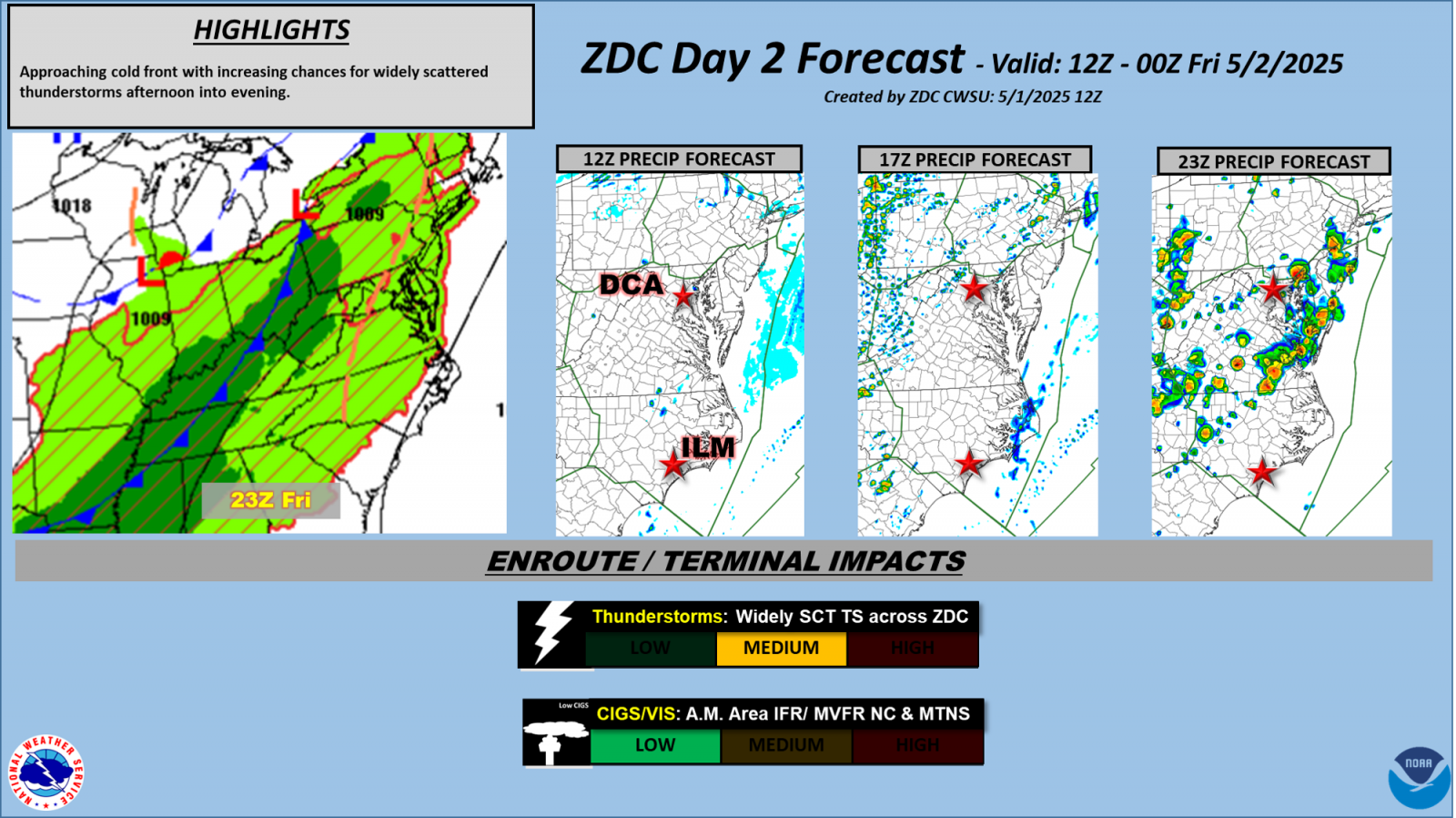
Day 2 Impacts for ZDC
Daily Briefing Sheet
|
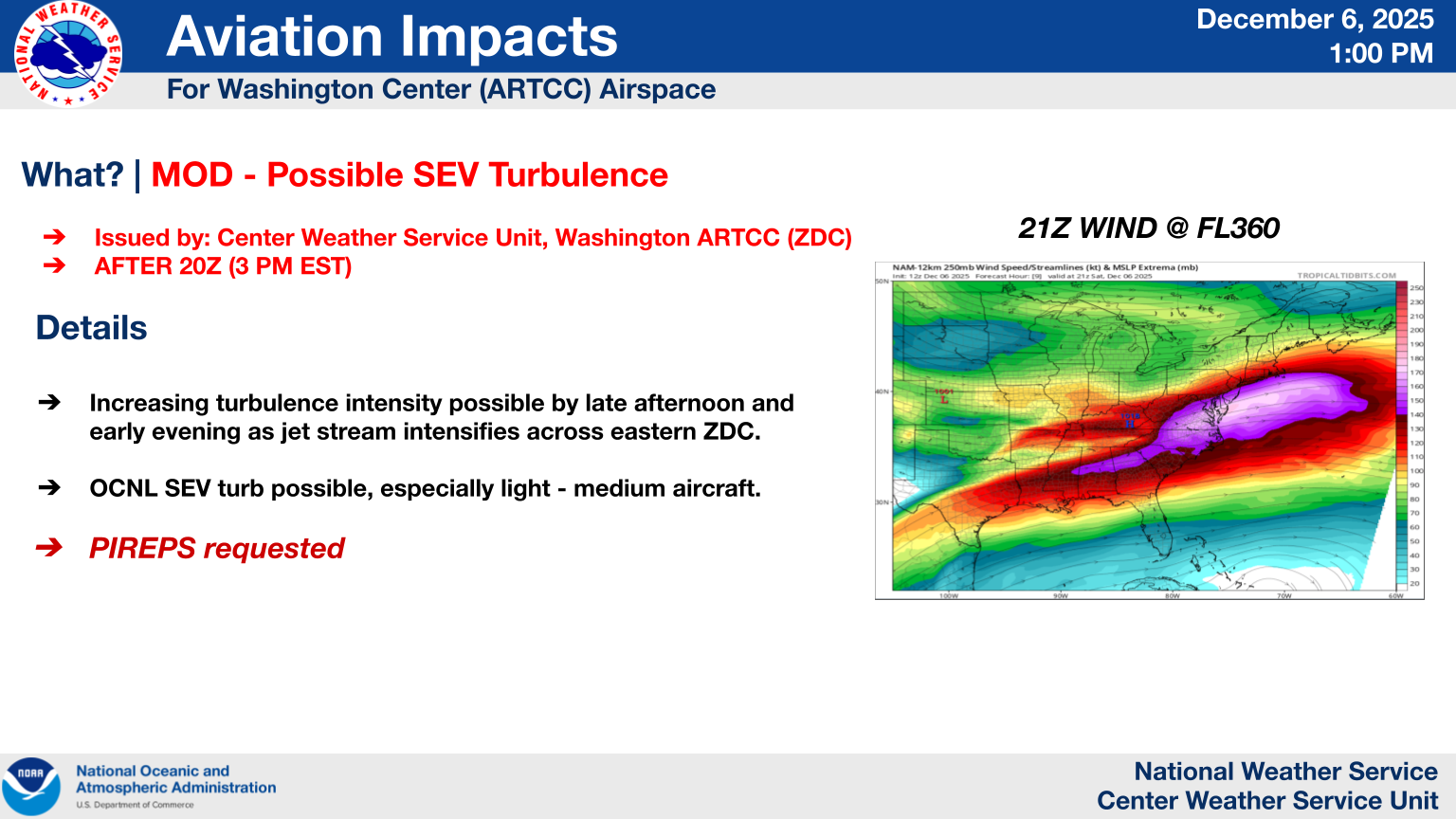
Today's Severe Weather Threat (Tomorrow's Threat)
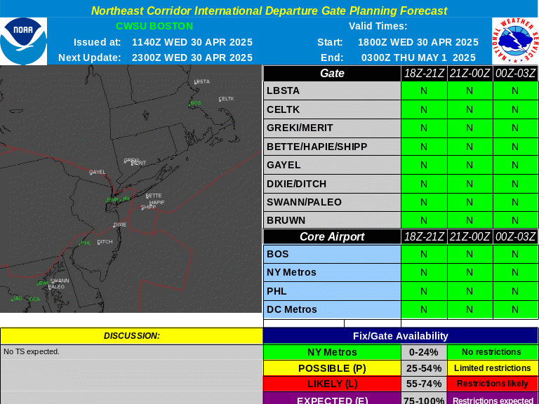
International Departure Forecast
International Arrival Forecast
|
PHL |
|
|
US Dept of Commerce
National Oceanic and Atmospheric Administration
National Weather Service
Washington CWSU
Washington ARTCC Center Weather Service Unit
825 East Market Street
Leesburg, VA 20176-4496
703-771-3480
Comments? Questions? Please Contact Us.


