
The nor’easter will weaken tonight, easing beach conditions and coastal flooding, though locally heavy rain will continue in parts of the Mid-Atlantic and New England into Monday. Hurricane Nolo continues to bring strong winds and large waves to Hawaii. A multi-day rain event will return to the Four Corners region Monday and expand to the south-central U.S. by midweek. Read More >
Fort Worth CWSU
Center Weather Service Unit
OLv6 Map Loading....
| Hover over or click station to get METAR and TAF (if available). | VFR MVFR IFR LIFR |

US Dept of Commerce
National Oceanic and Atmospheric Administration
National Weather Service
Fort Worth CWSU
13800 FAA Road
Fort Worth, TX 76155
817-858-7538
Comments? Questions? Please Contact Us.


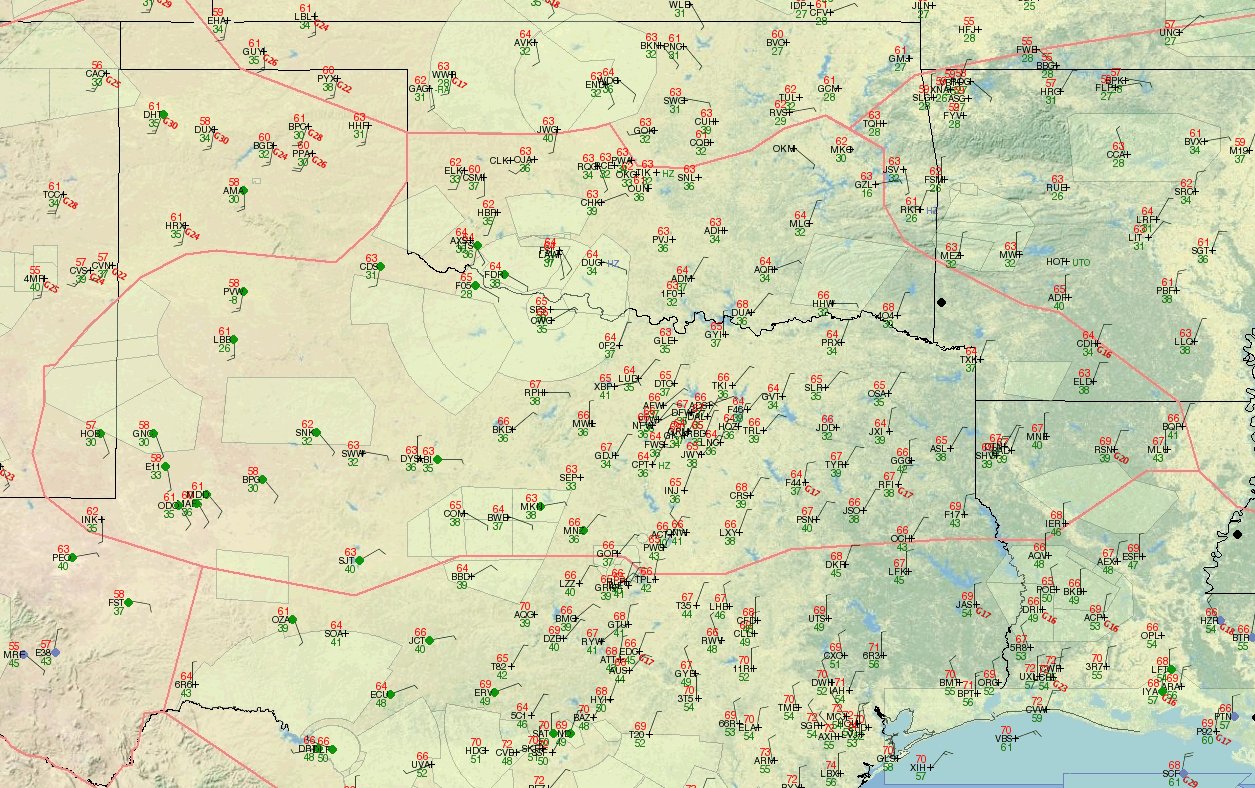 ZFW Observations
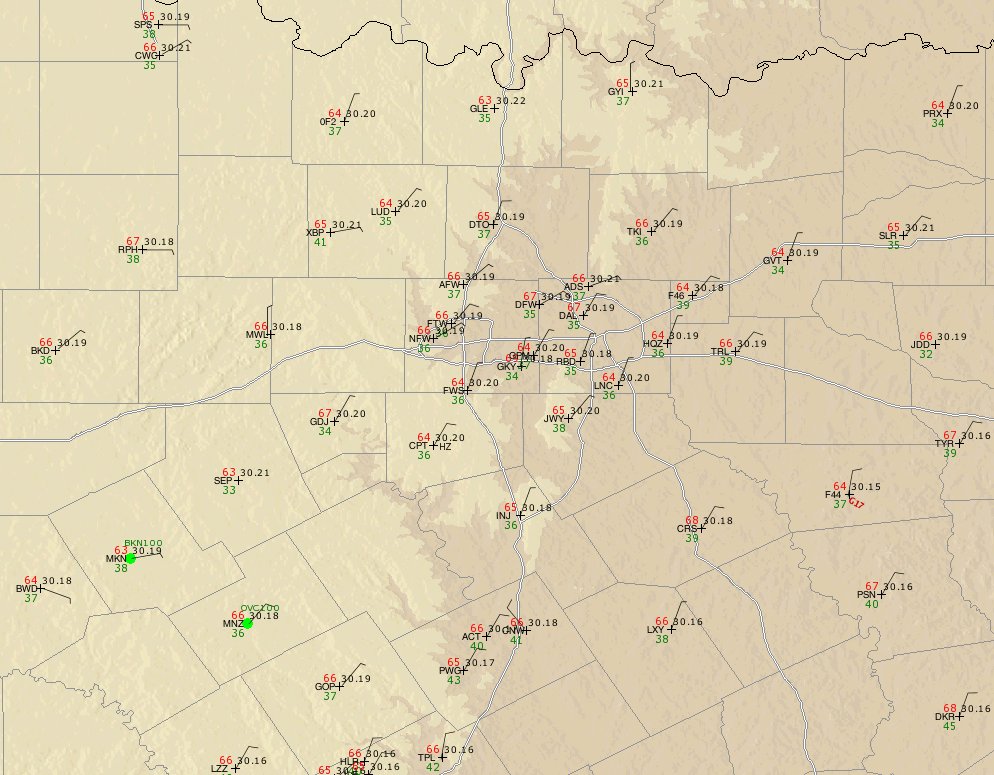 DFW Tracon observations
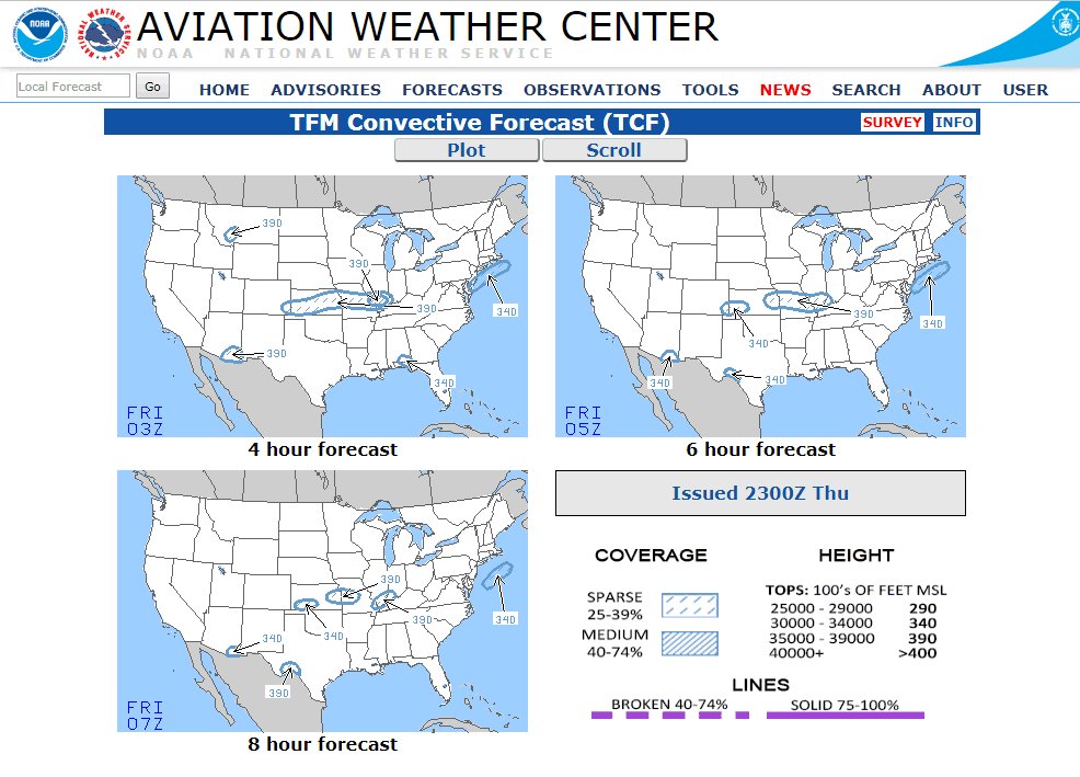 TCF
TCF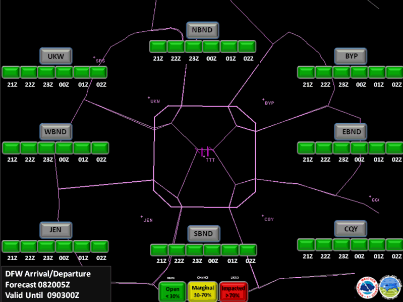 TRACON Gate Forecast
 ZFW Planning Briefing
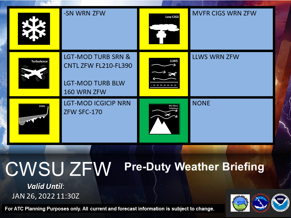 Pre-Duty Weather Briefing