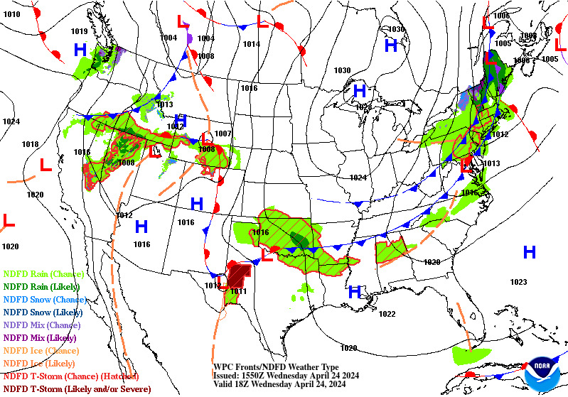
Wildfire smoke will push into the Midwest, worsening air quality. A frontal system brings severe storms from the Northern Plains to the Mid‑Atlantic the next few days. Heavy Gulf Coast rain is possible as Tropical Depression Two has formed, while monsoonal storms persist in the Southwest with heavy rainfall. Hazardous heat expands from the Plains into the Lower Mississippi Valley. Read More >
TAF BoardsView a TAF board showing all TAF sites within CQY or see the TAF board for individual airports. |
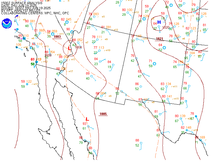
METAR Observations |
Forecaster DiscussionsNWS forecaster reasoning behind the TAFs (look for the "AVIATION" section, usually towards the bottom of the product) |
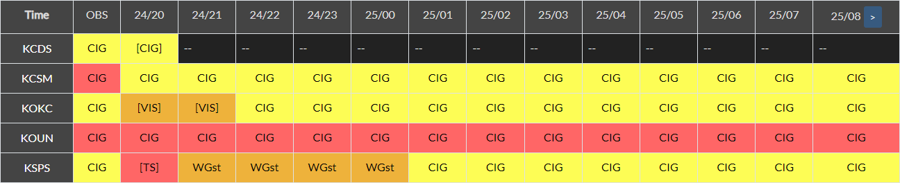
Impact TAF Board for CQY
Individual TAF Boards |
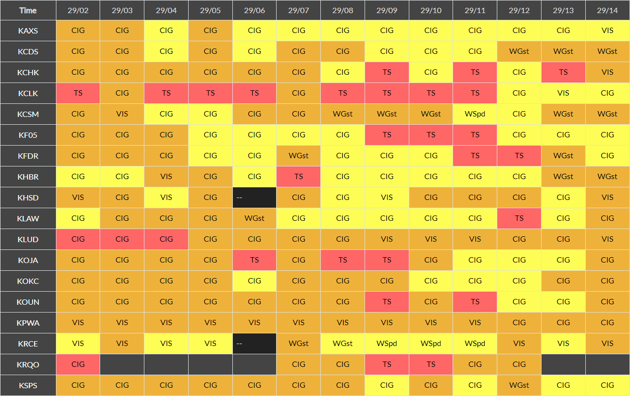
Impact METAR Board for CQY
Individual METAR BoardsArkansasLouisiana
Texas |
Click on an image to enlarge the hourly weather graphic, or see the 7-day forecast or expanded hourly forecast by visiting the links below the images.
Longview, TX |
Monroe, LA |
|
|
|
Shreveport, LA |
|
|
|
Click on any image to enlarge it.
CONUS Sector |
Southern Plains Sector |
 |
 |
Fort Worth, TX Radar (KFWS) |
Shreveport, LA Radar (KSHV) |
 |
 |
Geocolor Satellite Imagery with Lightning Density |
Infrared Satellite Imagery |
 |
 |
Click an image to enlarge it.
Southwest CONUS |
South-Central CONUS |
 |
 |
Click on an image to enlarge it.
6-Hour Forecast |
12-Hour Forecast |
18-Hour Forecast |
24-Hour Forecast |
 |
 |
 |
 |
Three-Day Loop |
|||
 |
|||
Click an image to enlarge it.
Day 1 |
Day 2 |
Day 3 |
|---|---|---|
 |
 |
 |
Click an image to view the detailed outlook.
Day 1 |
Day 2 |
Day 3 |
|---|---|---|
 |
 |
 |
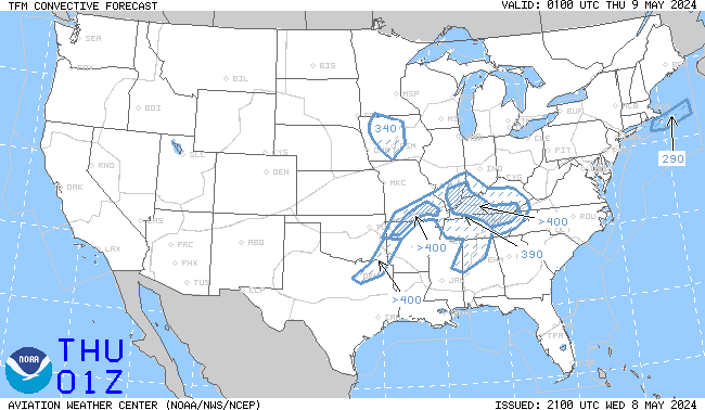
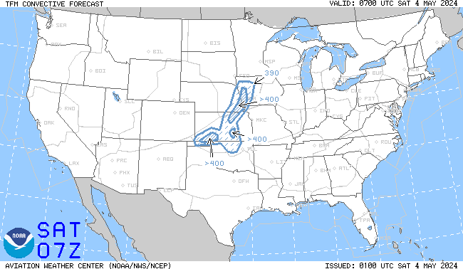
Click an image to enlarge it. Click here to go the AWC TCF website.
4-Hour Forecast |
6-Hour Forecast |
8-Hour Forecast |
|---|---|---|
 |
 |
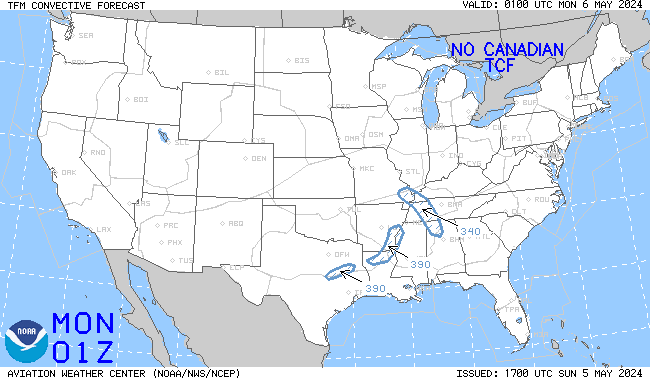 |
Click an image to go to the AWC website.
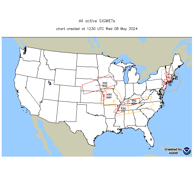
SIGMETs |
||||
|---|---|---|---|---|
 |
||||
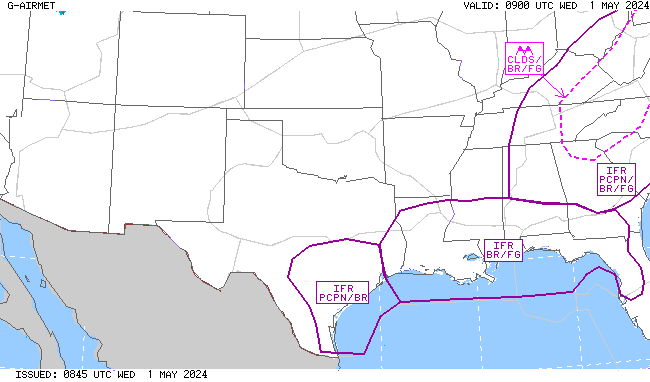
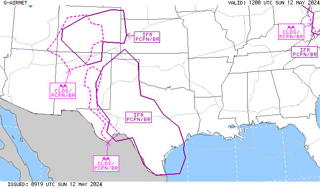
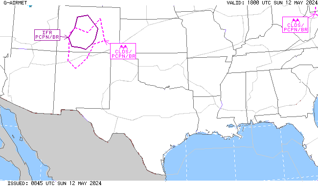
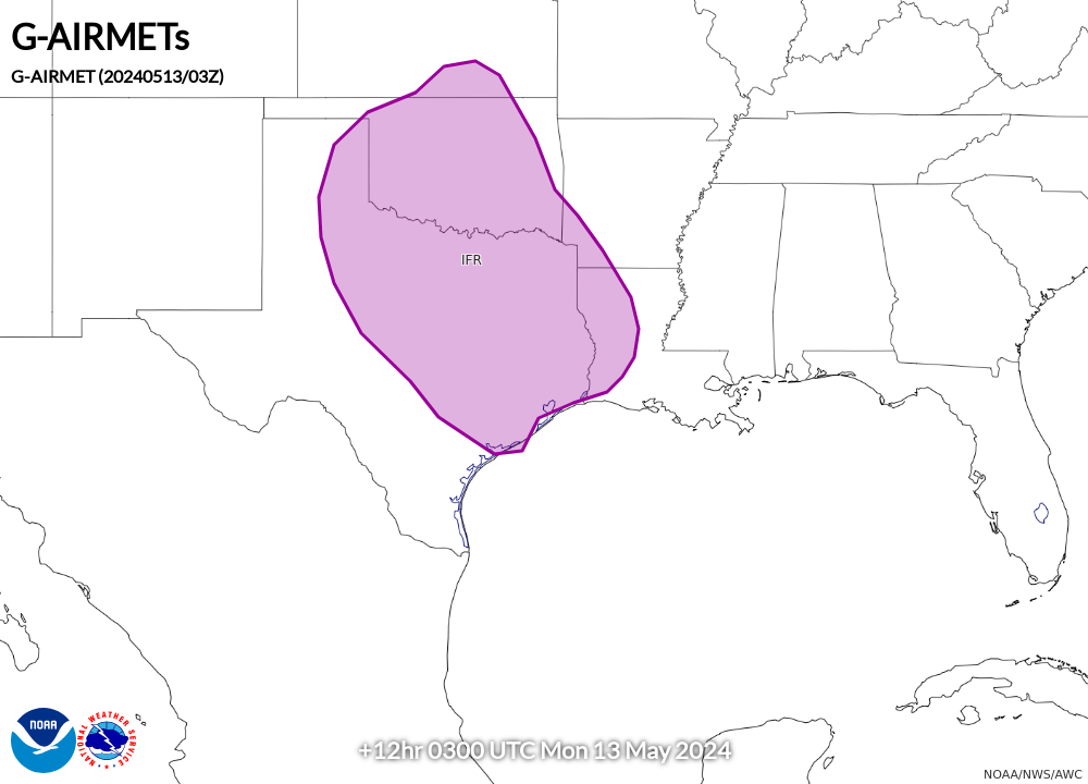
AIRMET Sierra (Ceilings/Visibility/Mountain Obscuration) |
||||
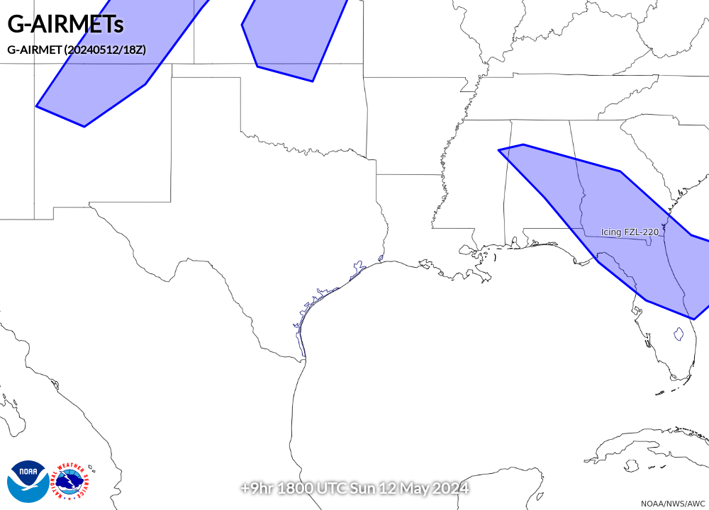
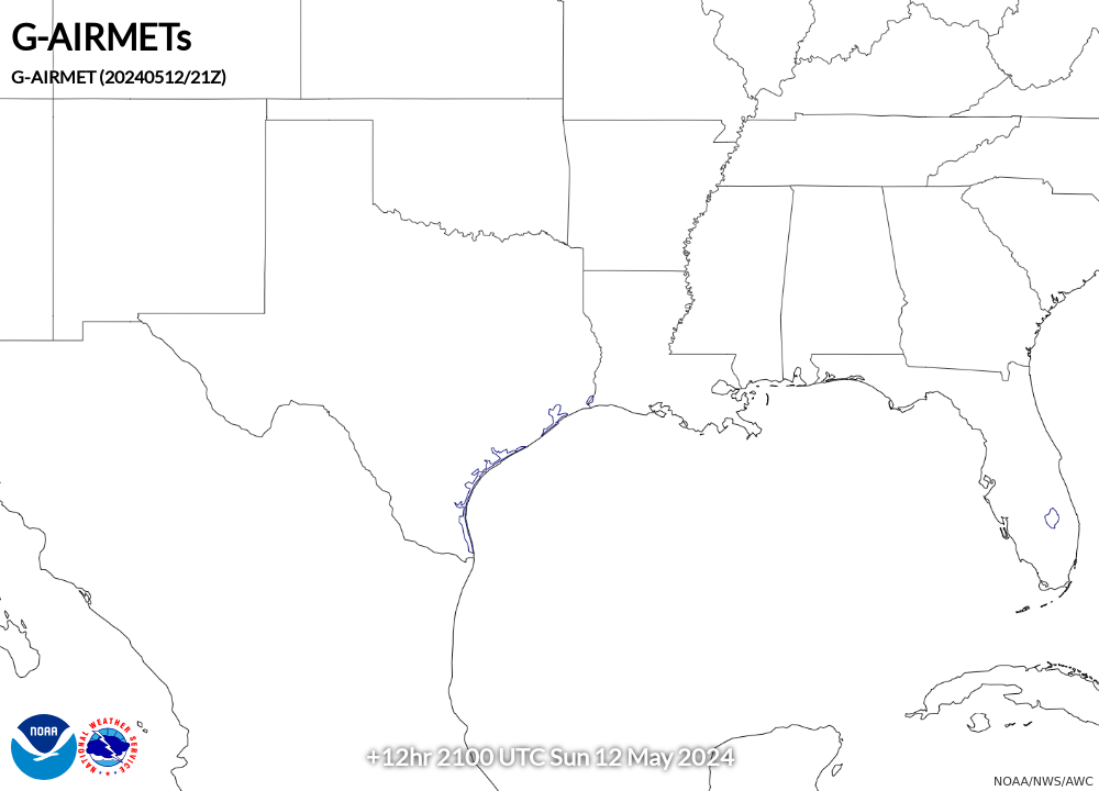
00 Hour |
03 Hour |
06 Hour |
09 Hour |
12 Hour |
 |
 |
 |
 |
 |
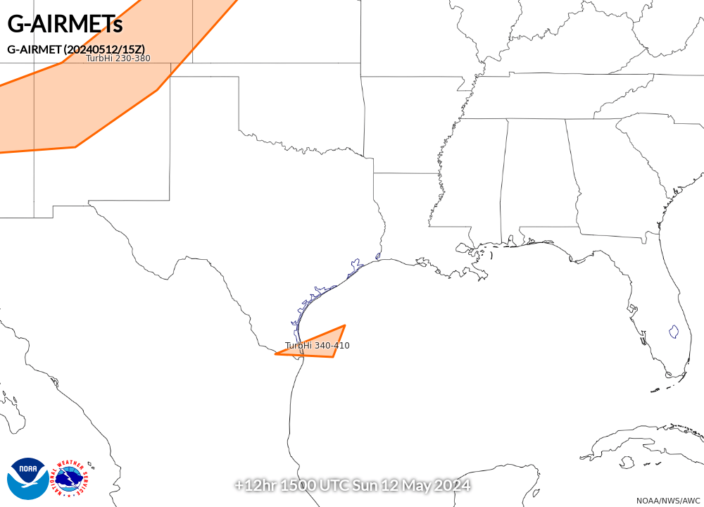
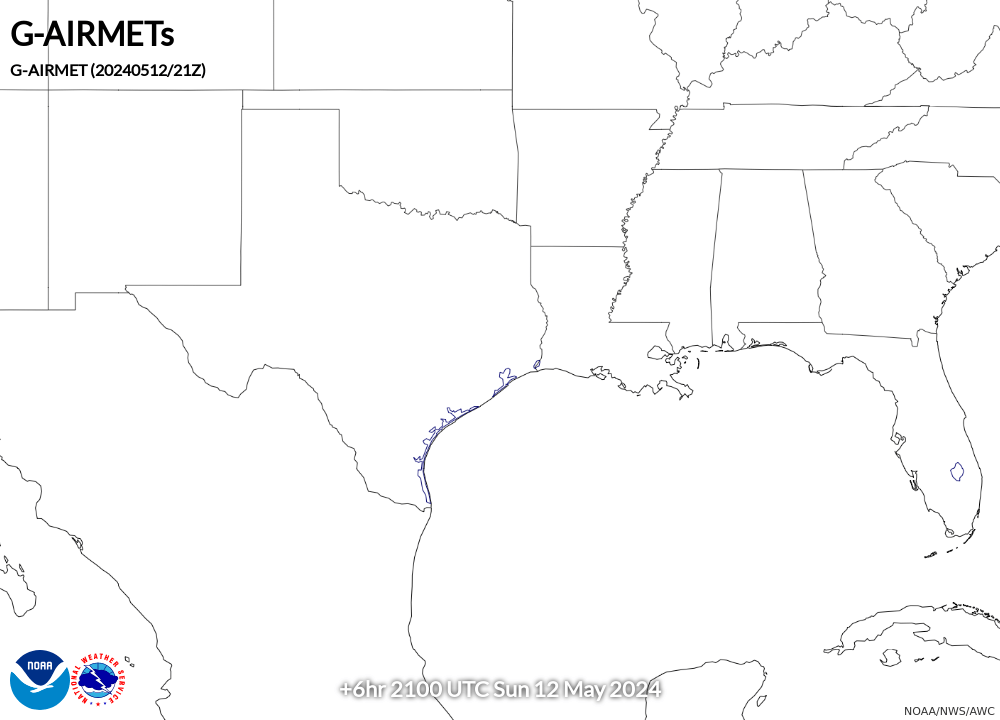
AIRMET Tango (Turbulence/Low-Level Wind Shear/Strong Surface Winds) |
||||
00 Hour |
03 Hour |
06 Hour |
09 Hour |
12 Hour |
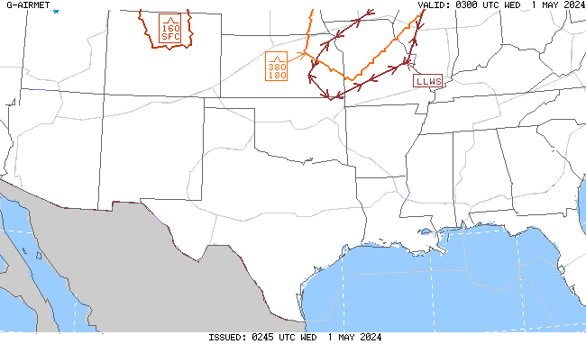 |
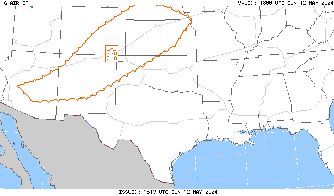 |
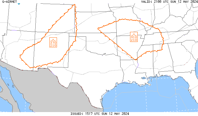 |
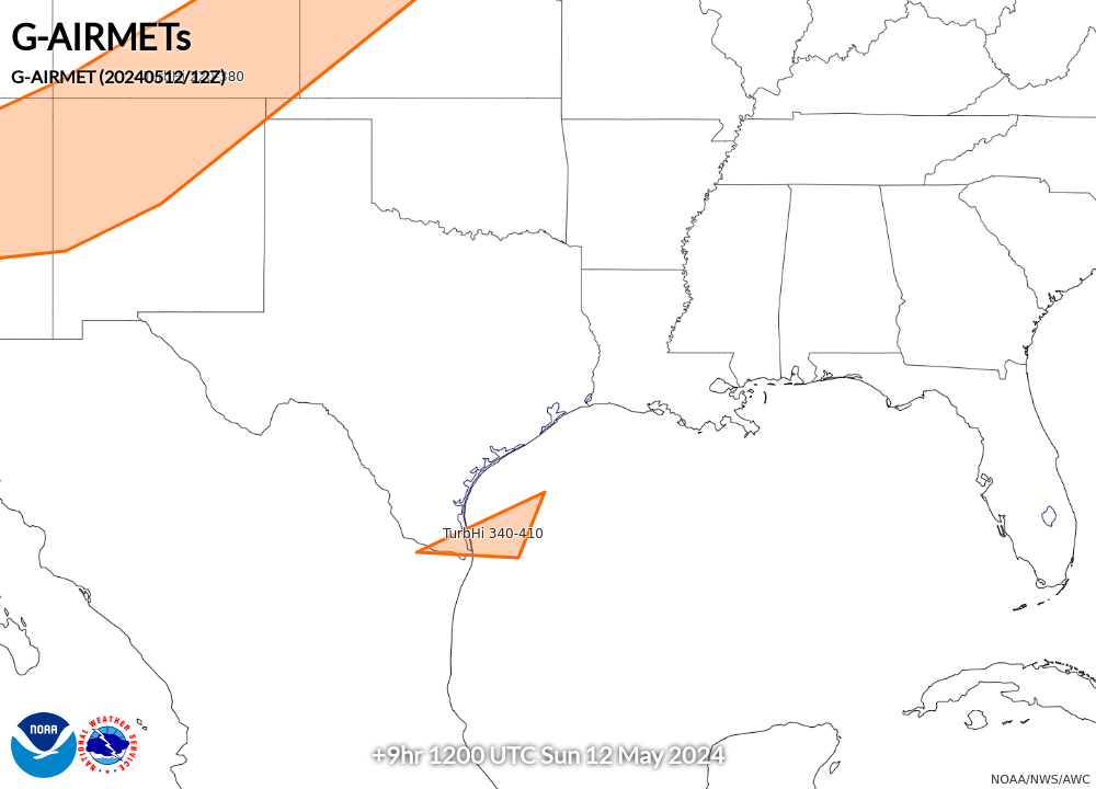 |
 |
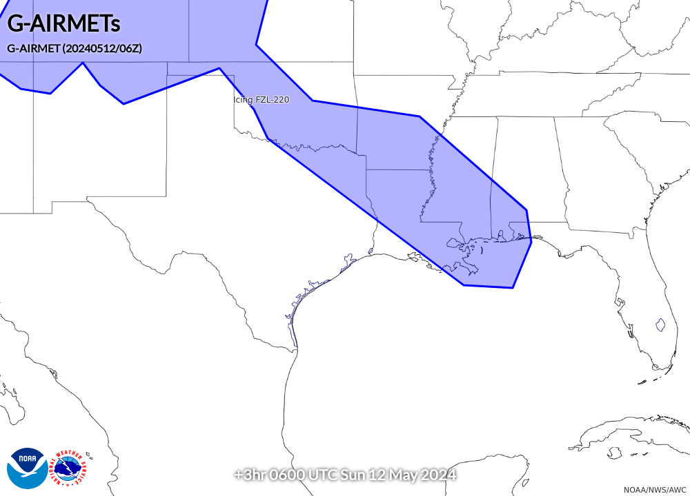
AIRMET Zulu (Icing and Freezing Level) |
||||
00 Hour |
03 Hour |
06 Hour |
09 Hour |
12 Hour |
 |
 |
 |
 |
 |