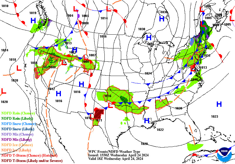
Tropical system in the Gulf expected to gradually strengthen the next couple of days off the Florida Panhandle and Alabama coasts. Instances of flash flooding will be possible through Thursday along the eastern and central Gulf Coast. Severe thunderstorms will develop and move along a cold front crossing the Upper Midwest, and through the Ohio Valley/Mid-Atlantic on Tuesday. Read More >
TAF BoardsView a TAF board showing all TAF sites within JEN or see the TAF board for individual airports. |
METAR Observations |
Forecaster DiscussionsNWS forecaster reasoning behind the TAFs (look for the "AVIATION" section, usually towards the bottom of the product) |
Impact TAF Board for JEN
Individual TAF Boards |
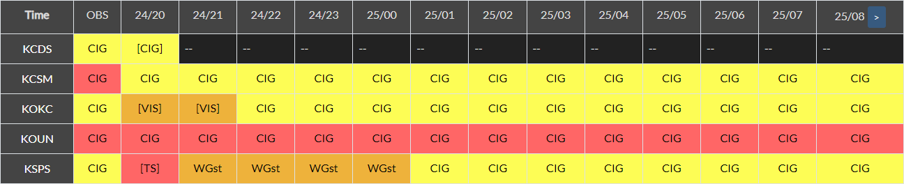
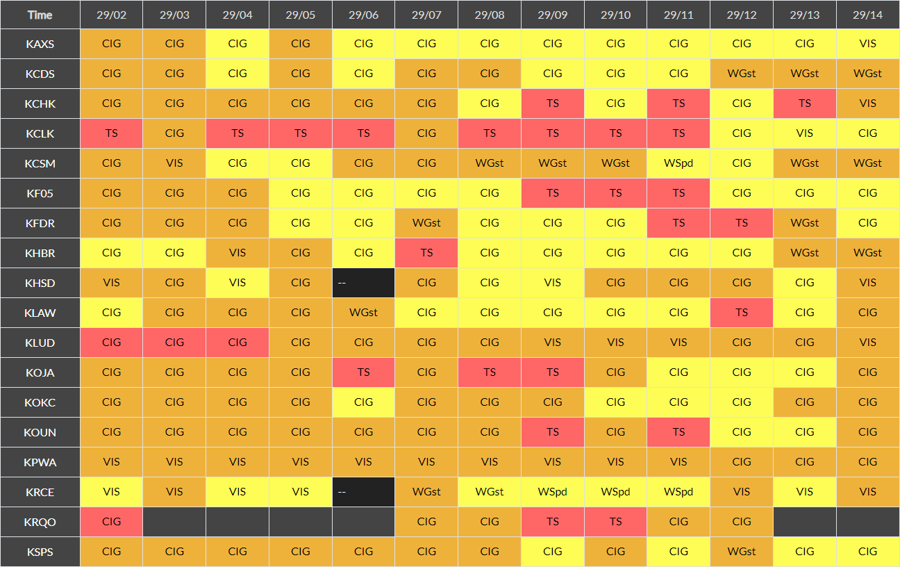
Impact METAR Board for JEN
Individual METAR BoardsNew MexicoTexas
|
Click on an image to enlarge the hourly weather graphic, or see the 7-day forecast or expanded hourly forecast by visiting the links below the images.
Abilene, TX |
Midland, TX |
|
|
|
San Angelo, TX |
|
|
|
Click on any image to enlarge it.
CONUS Sector |
Southern Plains Sector |
 |
 |
Midland, TX Radar (KMAF) |
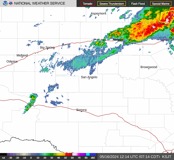
San Angelo, TX Radar (KSJT) |
 |
 |
Geocolor Satellite Imagery with Lightning Density |
Infrared Satellite Imagery |
 |
 |
Click an image to enlarge it.
Southwest CONUS |
South-Central CONUS |
 |
 |
Click on an image to enlarge it.
6-Hour Forecast |
12-Hour Forecast |
18-Hour Forecast |
24-Hour Forecast |
 |
 |
 |
 |
Three-Day Loop |
|||
 |
|||
Click an image to enlarge it.
Day 1 |
Day 2 |
Day 3 |
|---|---|---|
 |
 |
 |
Click an image to view the detailed outlook.
Day 1 |
Day 2 |
Day 3 |
|---|---|---|
 |
 |
 |
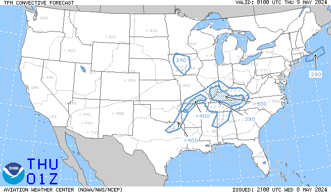
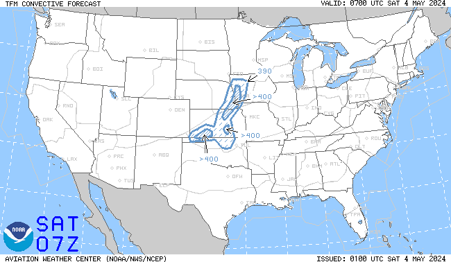
Click an image to enlarge it. Click here to go the AWC TCF website.
4-Hour Forecast |
6-Hour Forecast |
8-Hour Forecast |
|---|---|---|
 |
 |
 |
Click an image to go to the AWC website.
SIGMETs |
||||
|---|---|---|---|---|
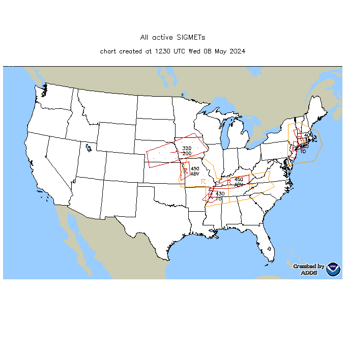 |
||||
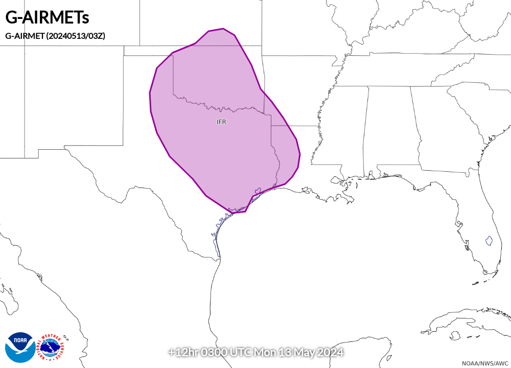
AIRMET Sierra (Ceilings/Visibility/Mountain Obscuration) |
||||
00 Hour |
03 Hour |
06 Hour |
09 Hour |
12 Hour |
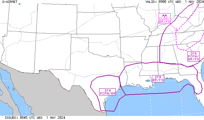 |
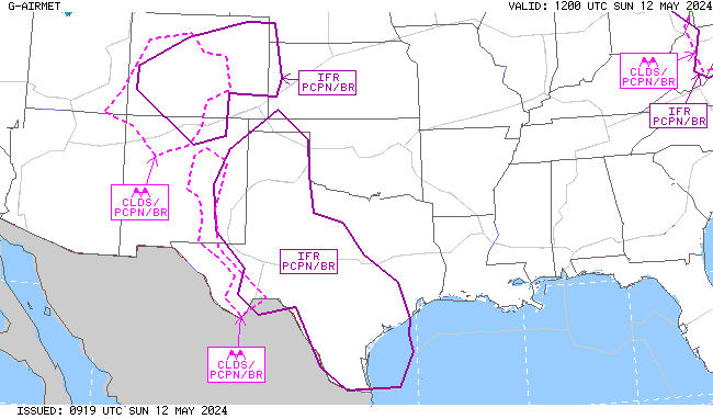 |
 |
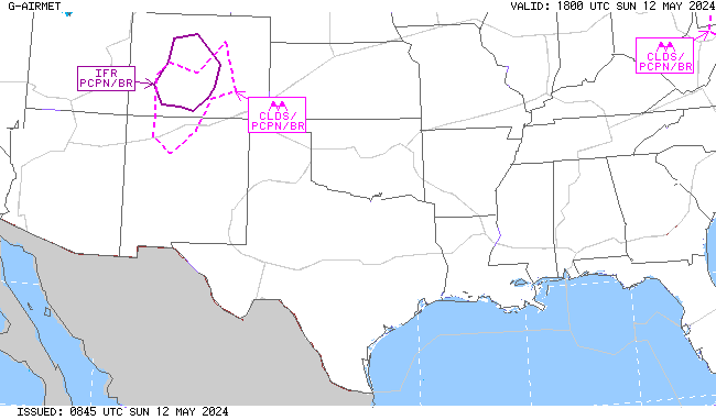 |
 |
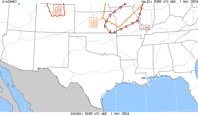
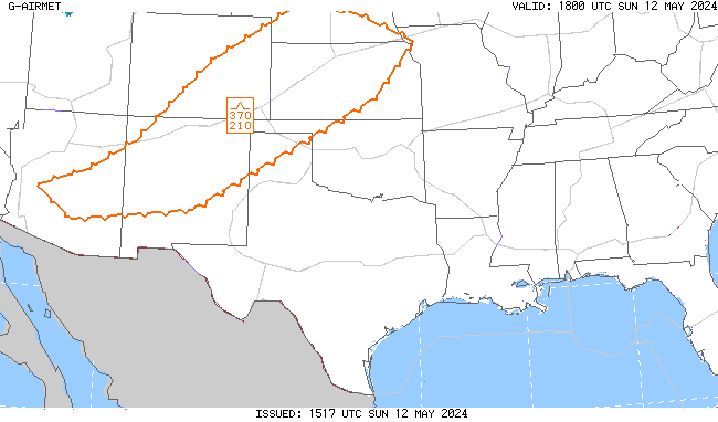
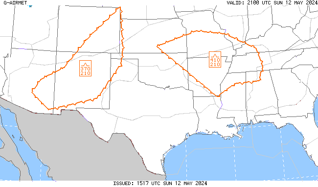
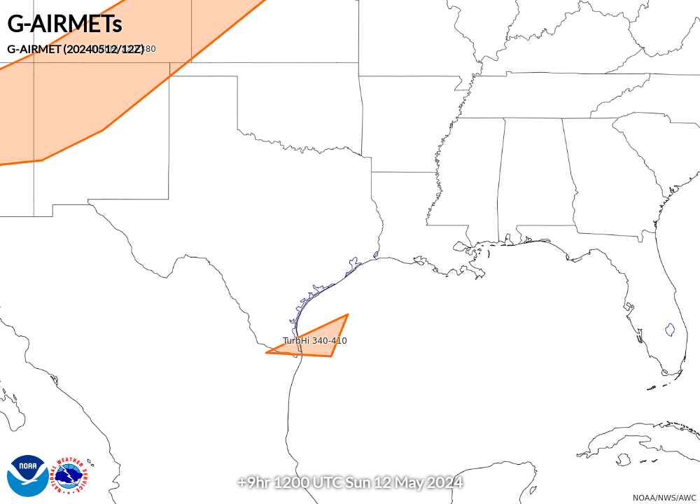
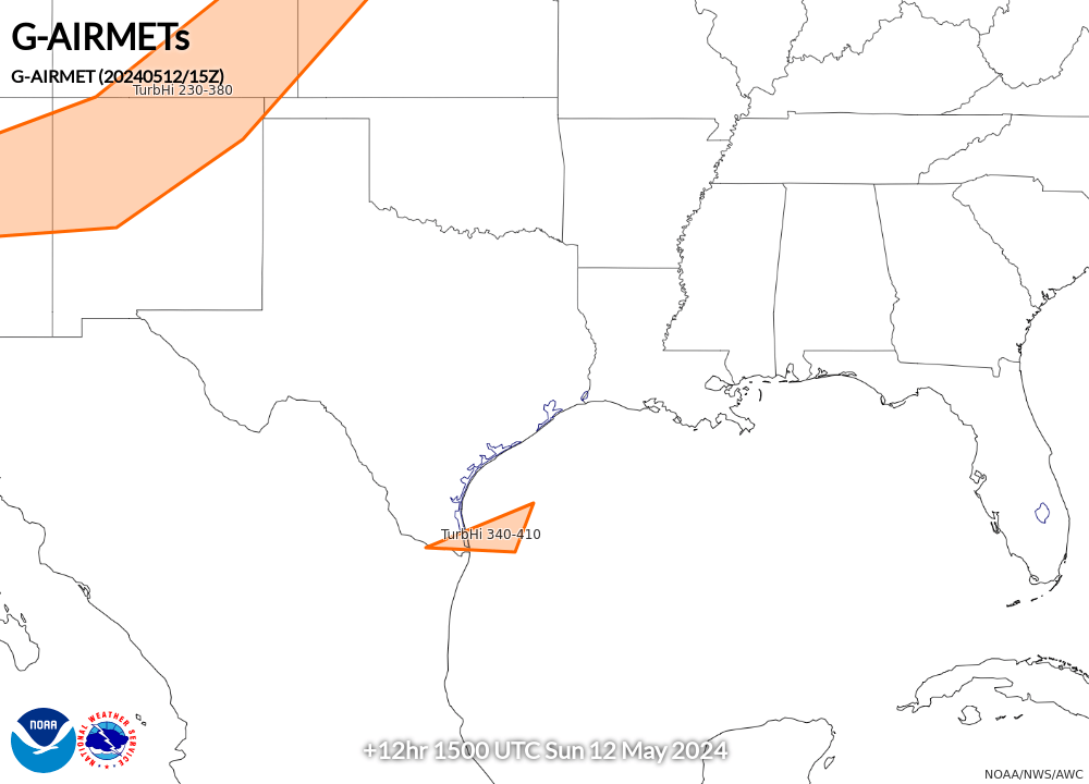
AIRMET Tango (Turbulence/Low-Level Wind Shear/Strong Surface Winds) |
||||
00 Hour |
03 Hour |
06 Hour |
09 Hour |
12 Hour |
 |
 |
 |
 |
 |
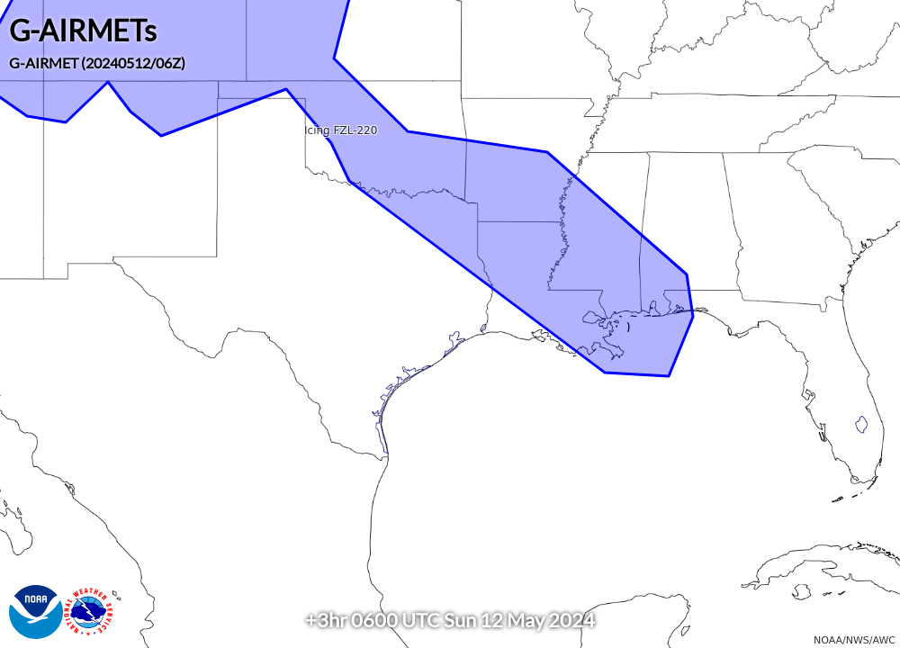
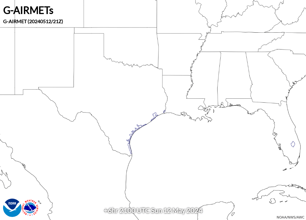
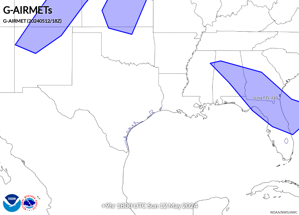
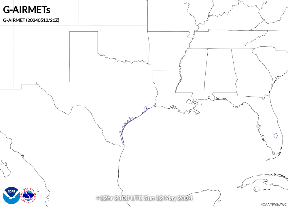
AIRMET Zulu (Icing and Freezing Level) |
||||
00 Hour |
03 Hour |
06 Hour |
09 Hour |
12 Hour |
 |
 |
 |
 |
 |