
Flash flooding threatens areas from the Tennessee Valley to the Carolinas as storms repeat along a stalled front. Monsoonal storms may trigger flooding in the Southwest. Dangerous heat expands across the Desert Southwest, Plains, mid-Mississippi Valley and Southern Tier. Critical fire weather for interior Pacific Northwest. Cooler, drier air brings brief relief to the Great Lakes and Northeast. Read More >
Fort Worth CWSU
Center Weather Service Unit
OLv6 Map Loading....
| Hover over or click station to get METAR and TAF (if available). | VFR MVFR IFR LIFR |

US Dept of Commerce
National Oceanic and Atmospheric Administration
National Weather Service
Fort Worth CWSU
13800 FAA Road
Fort Worth, TX 76155
817-858-7538
Comments? Questions? Please Contact Us.


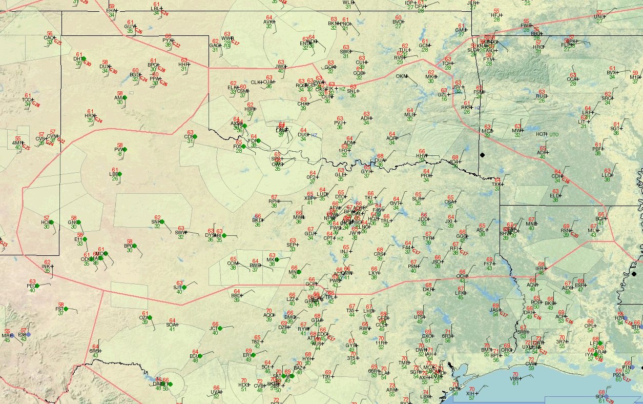 ZFW Observations
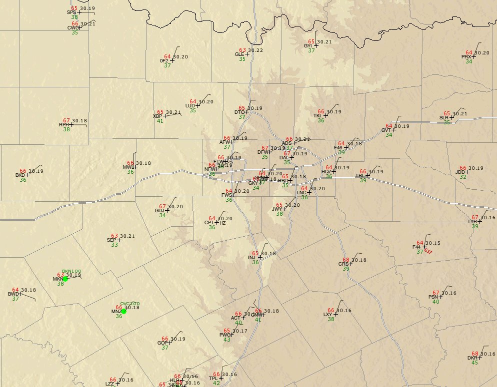 DFW Tracon observations
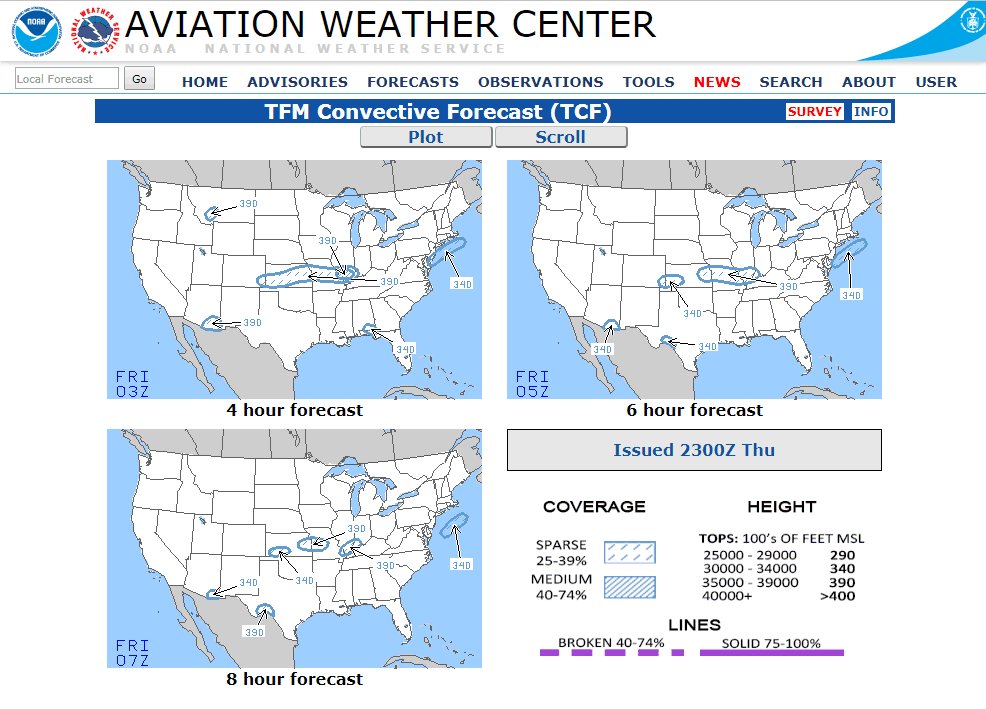 TCF
TCF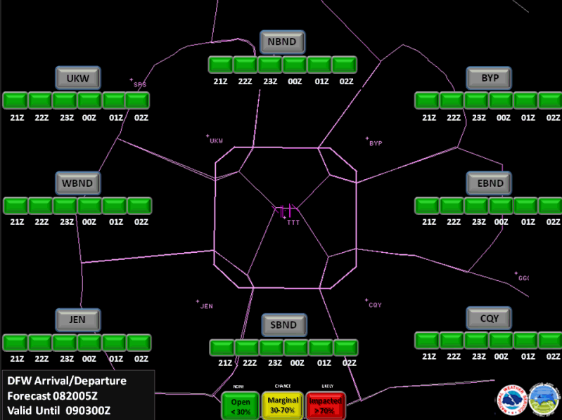 TRACON Gate Forecast
 ZFW Planning Briefing
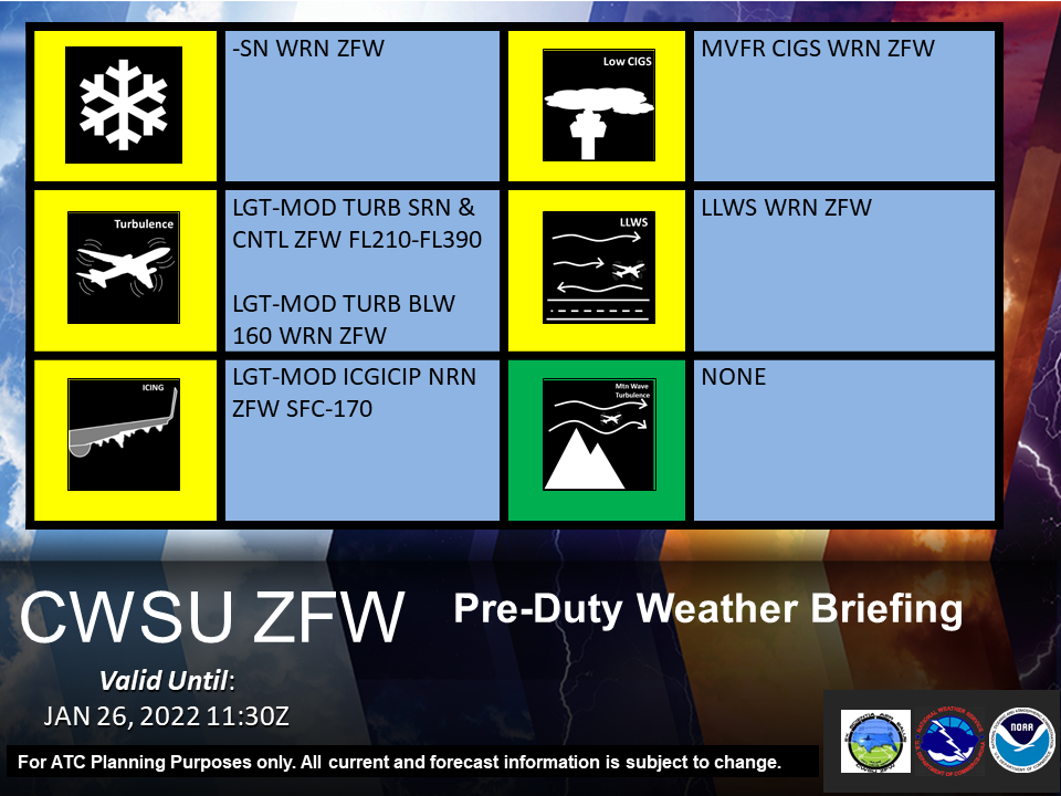 Pre-Duty Weather Briefing