
A Nor'easter will create hazardous marine and coastal conditions along the Mid-Atlantic coast through mid-week, with significant coastal flooding and beach erosion possible. Meanwhile, another strong storm system is forecast to bring high winds and heavy precipitation to portions of southern Alaska. Elsewhere, relatively benign weather is expected through the first half of the work week. Read More >
Fort Worth CWSU
Center Weather Service Unit
OLv6 Map Loading....
| Hover over or click station to get METAR and TAF (if available). | VFR MVFR IFR LIFR |

US Dept of Commerce
National Oceanic and Atmospheric Administration
National Weather Service
Fort Worth CWSU
13800 FAA Road
Fort Worth, TX 76155
817-858-7538
Comments? Questions? Please Contact Us.


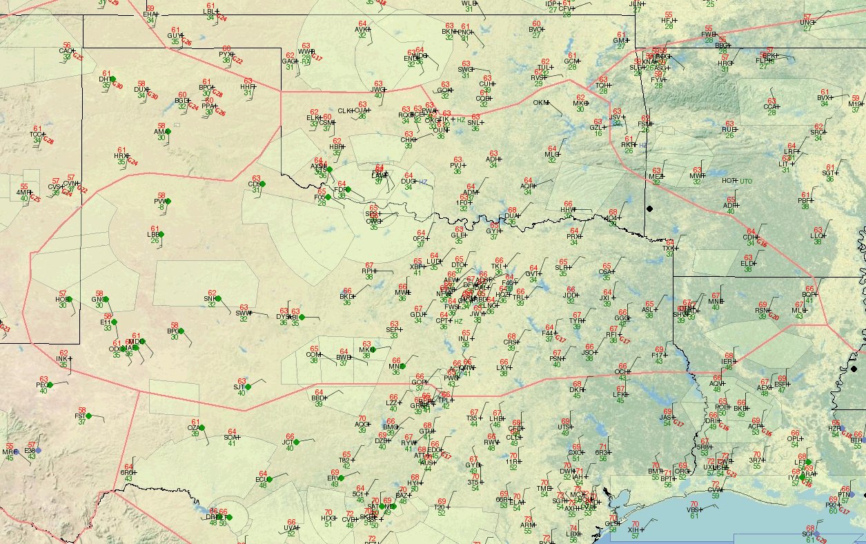 ZFW Observations
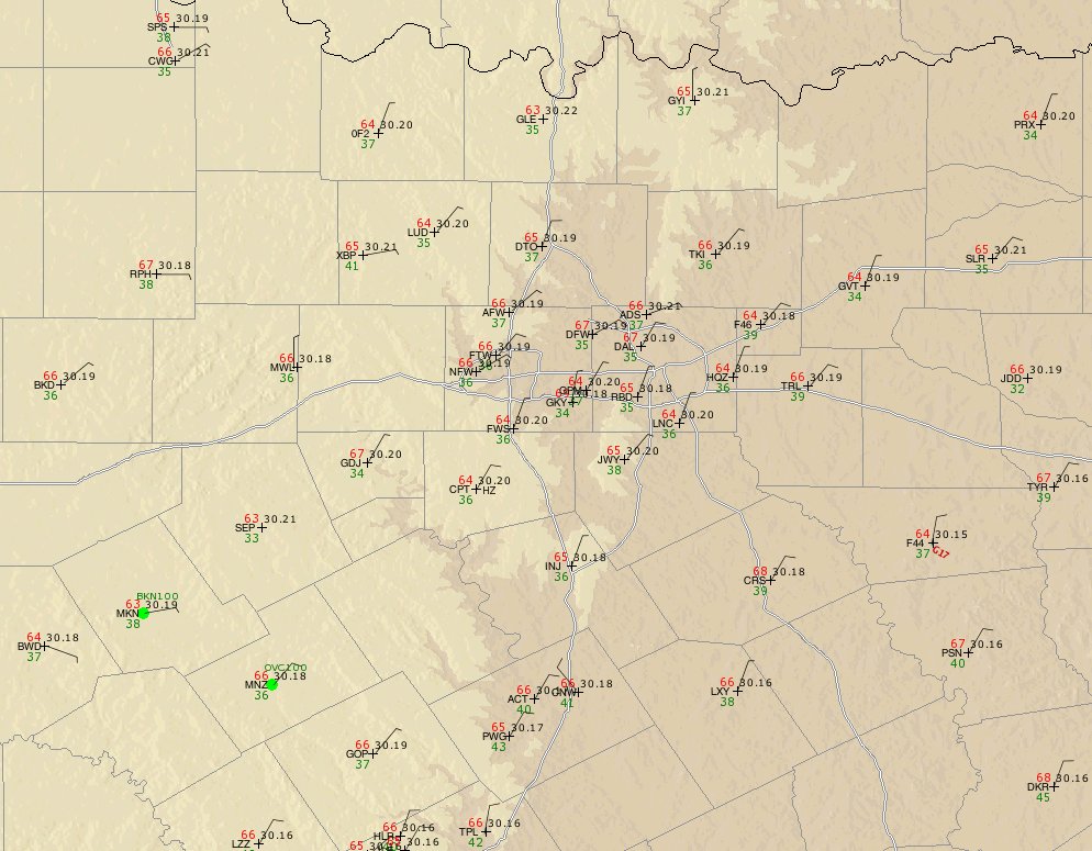 DFW Tracon observations
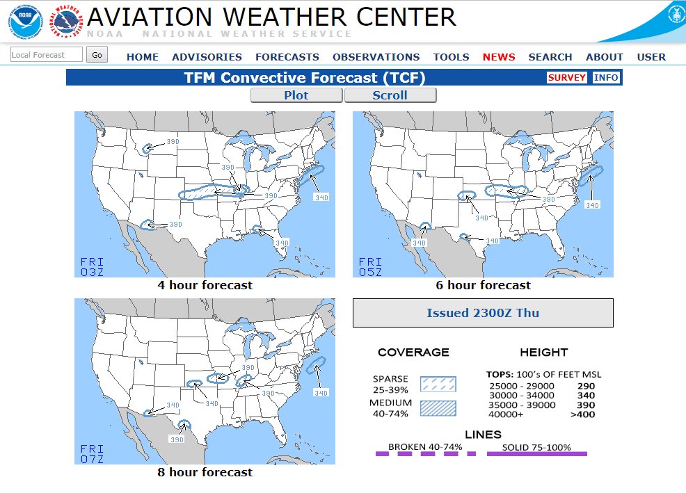 TCF
TCF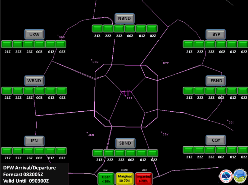 TRACON Gate Forecast
 ZFW Planning Briefing
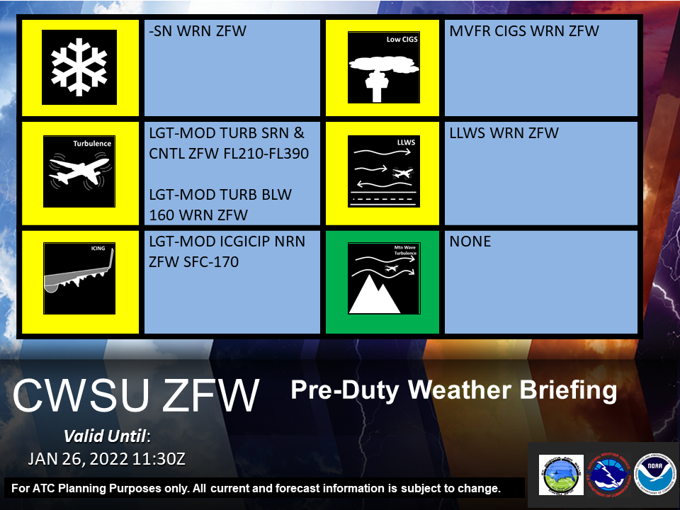 Pre-Duty Weather Briefing