
Dangerous and extreme heat will remain across portions of the Central U.S. this week, persisting across the Mid to Lower Mississippi Valleys, Gulf Coast, Southern Plains and portions of Texas. A heat wave over the Southwest will intensify late this week. Severe thunderstorms and flash flooding will spread from the Great Lakes/Ohio Valley to the Mid-Atlantic and Northeast the next few days. Read More >
Cleveland CWSU
Center Weather Service Unit
|
|
|
|
|
|
|
6 HR Forecast Surface Map |
12 HR Forecast Surface Map |
|
18 HR Forecast Surface Map |
24 HR Forecast Surface Map |
|
Day 2 Forecast Surface Map |
Day 3 Forecast Surface Map |
FNTDefault Runway is NONE |
 |
Click on images to get the full size graphic
|
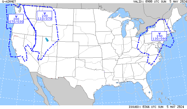
| Turbulence | |||
 |
 |
 |
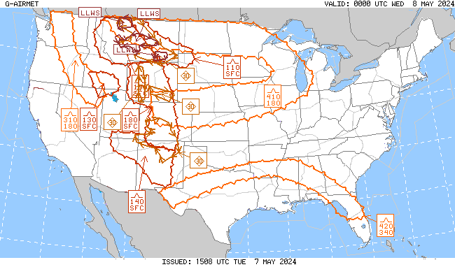 |
| Turbulence Current | Turbulence +3hr | Turbulence +6hr | Turbulence +9hr |
| Icing | |||
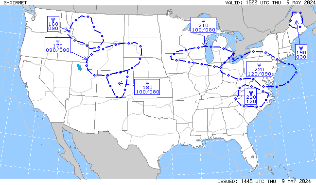 |
 |
 |
 |
| Icing Current | Icing +3hr | Icing +6hr | Icing +9hr |
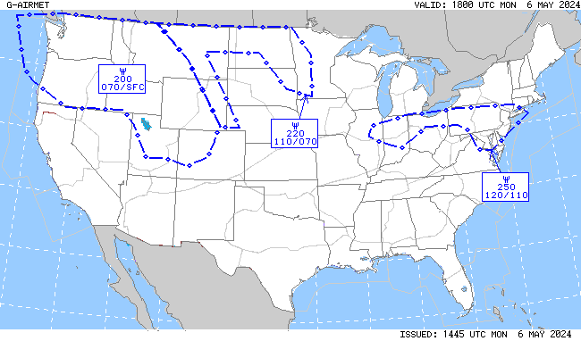
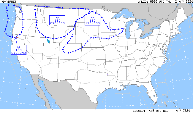
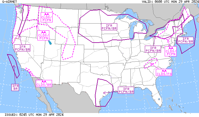
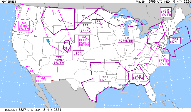
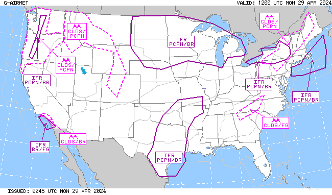
| IFR/MTN OBSC (Mountain Obscuration) | |||
 |
 |
 |
 |
| IFR/MTN OBSC Current | IFR/MTN OSBC +3hr | IFR/MTN OBSC +6hr | IFR/MTN OBSC +9hr |
|
|
|
|
|
|
|
 |
Return to CWSU ZOB homepage here.
US Dept of Commerce
National Oceanic and Atmospheric Administration
National Weather Service
Cleveland CWSU
Cleveland ARTCC Attn:CWSU
326 East Lorain Street
Oberlin, OH 44074
Comments? Questions? Please Contact Us.


