
Heat expands across the Desert Southwest, Plains, Mississippi Valley and Midwest into Monday. Fire weather concerns continue for portions of the Intermountain West. Active monsoonal moisture fuels thunderstorms over the Southwest with possible flash flooding. Tropical cyclone Fausto in the Pacific, should weaken as it approaches Hawaii; Dangerous surf, swells and rip currents are expected. Read More >
Cleveland CWSU
Center Weather Service Unit
|
|
|
|
|
|
|
6 HR Forecast Surface Map |
12 HR Forecast Surface Map |
|
18 HR Forecast Surface Map |
24 HR Forecast Surface Map |
|
Day 2 Forecast Surface Map |
Day 3 Forecast Surface Map |
PTKDefault Runway is NONE |
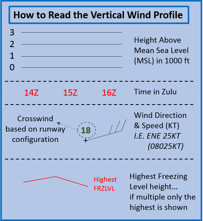 |
Click on images to get the full size graphic
|
| Turbulence | |||
 |
 |
 |
 |
| Turbulence Current | Turbulence +3hr | Turbulence +6hr | Turbulence +9hr |
| Icing | |||
 |
 |
 |
 |
| Icing Current | Icing +3hr | Icing +6hr | Icing +9hr |
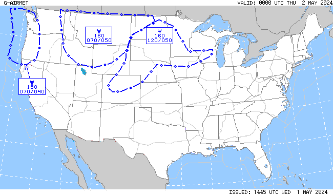
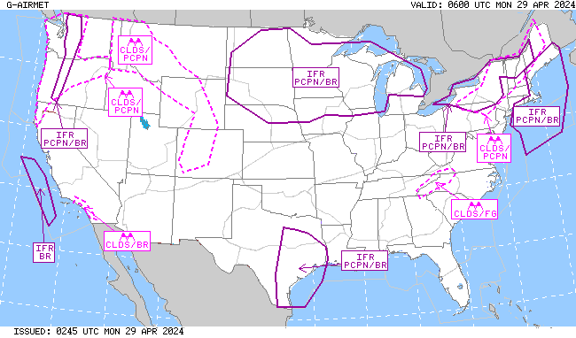
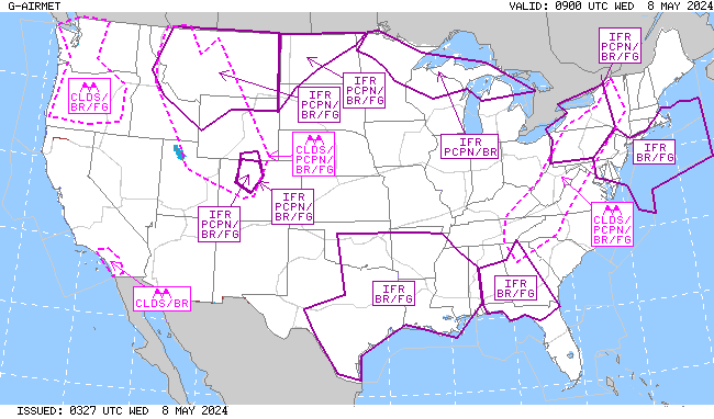
| IFR/MTN OBSC (Mountain Obscuration) | |||
 |
 |
 |
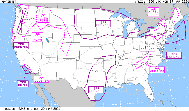 |
| IFR/MTN OBSC Current | IFR/MTN OSBC +3hr | IFR/MTN OBSC +6hr | IFR/MTN OBSC +9hr |
|
|
|
|
|
|
|
 |
Return to CWSU ZOB homepage here.
US Dept of Commerce
National Oceanic and Atmospheric Administration
National Weather Service
Cleveland CWSU
Cleveland ARTCC Attn:CWSU
326 East Lorain Street
Oberlin, OH 44074
Comments? Questions? Please Contact Us.


