
Widespread life-threatening flash and urban flooding continues in south-central Texas, with considerable flooding impacts possible across central Texas. Wildfire smoke is impacting air quality across much of the Great Lakes region into southern New England and the Mid-Atlantic. Monsoonal thunderstorms may produce isolated to scattered flash flooding across the Southwest into the Great Basin. Read More >
Atlanta
Center Weather Service Unit
| ZTL Airspace Summary / KAGS TAF For ATC Planning Purposes only | |||
|---|---|---|---|
|
Updated:
|
AGS METAR:
|
||
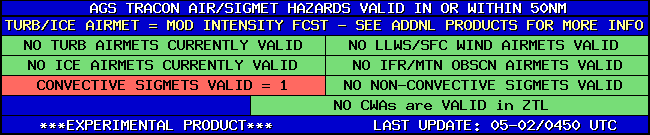
| AGS TRACON HAZARDS | |
|---|---|
|
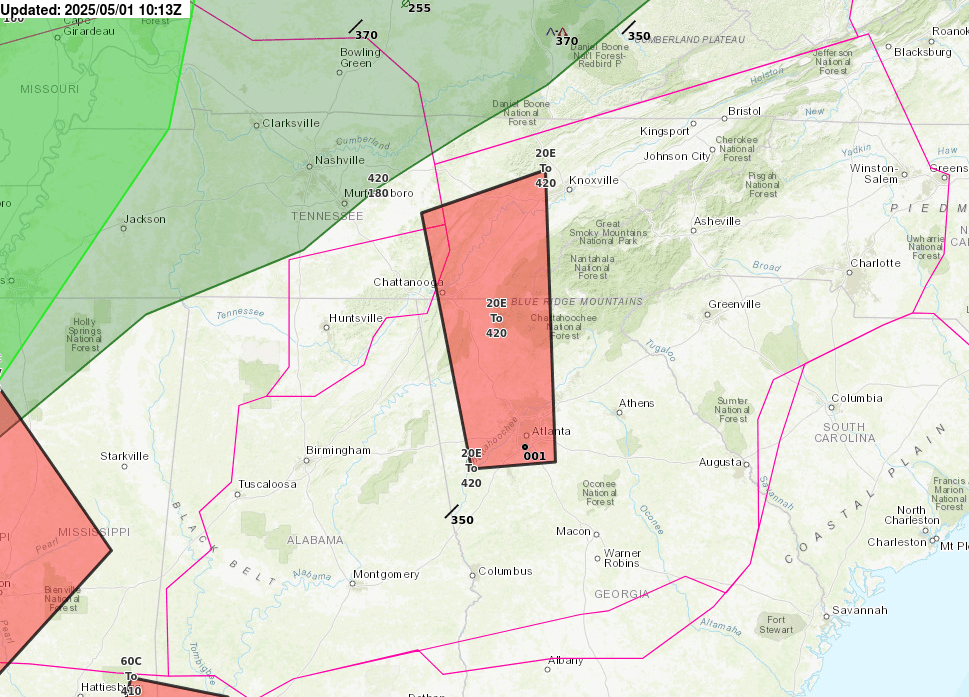
| Forecast Surface Map Loop / Collaborative Convective Forecast Product / Vertical Wind Profile | ||
|---|---|---|
 |
 |
|
| AIRMETs & SIGMETS/ Southeast Radar loop / Satellite Image (click on image to enlarge) | ||
|---|---|---|
 |
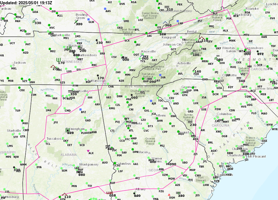 |
|
US Dept of Commerce
National Oceanic and Atmospheric Administration
National Weather Service
Atlanta
299 Woolsey Road
Hampton, GA 30228
770.210.7693
Comments? Questions? Please Contact Us.


