
Widespread life-threatening flash and urban flooding will continue to pose a significant threat to life and property in south-central Texas. Catastrophic fiver flooding, with rapid rises on small streams, arroyos, and typically dry washes, is expected. Monsoonal showers persist across the Great Basin and Southwest with greatest flash flooding in southern Arizona. Read More >
Atlanta
Center Weather Service Unit
| ZTL Airspace Summary / KAVL TAF For ATC Planning Purposes Only | |||
|---|---|---|---|
|
Updated:
|
AVL METAR:
|
||
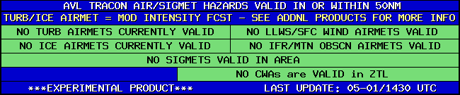
| AVL TRACON HAZARDS | |
|---|---|
|
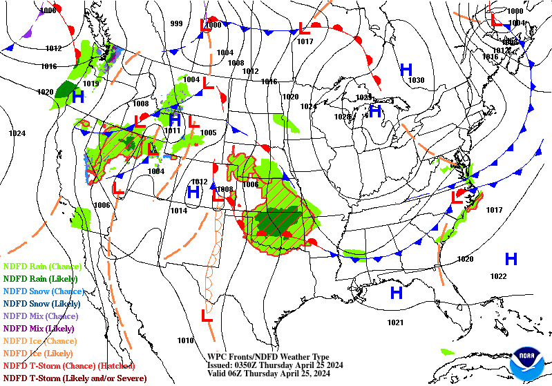
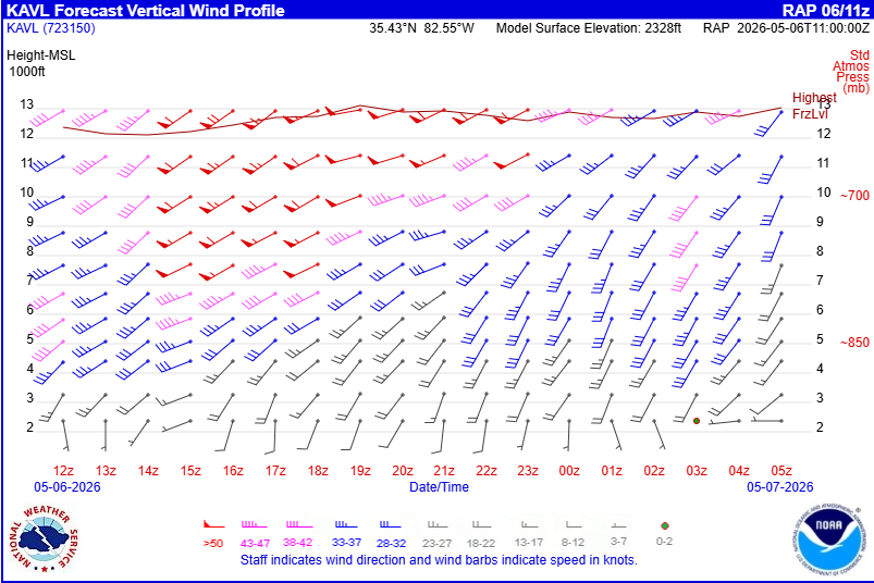
| Forecast Surface Map Loop / Collaborative Convective Forecast Product / Vertical Wind Profile | ||
|---|---|---|
 |
 |
 |
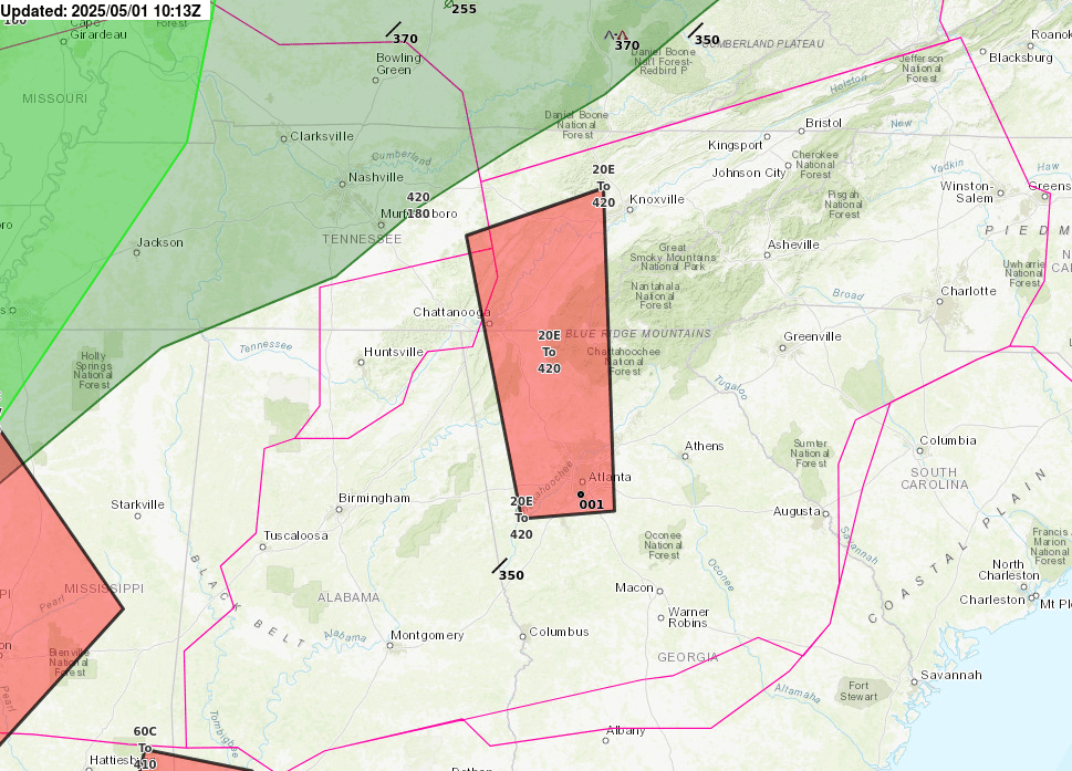
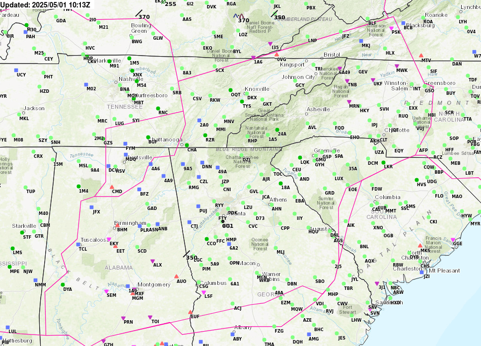
| AIRMETs & SIGMETS/ Southeast Radar loop / Satellite Image (click on image to enlarge) | ||
|---|---|---|
 |
 |
|
US Dept of Commerce
National Oceanic and Atmospheric Administration
National Weather Service
Atlanta
299 Woolsey Road
Hampton, GA 30228
770.210.7693
Comments? Questions? Please Contact Us.


