NWS All NOAA
San Francisco Bay Area, CA
Weather Forecast Office
Last Map Update: Wed, Nov 26, 2025 at 8:28:17 pm PST


 San Francisco Radar
 Sacramento Radar
 Satellite
 Weather Map
 Local Graphical Forecast
 U.S. Graphical Forecasts
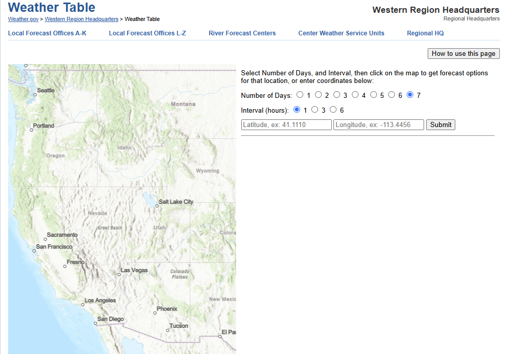 Forecast Weather Tables
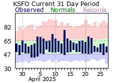 Recent MTR Temperatures
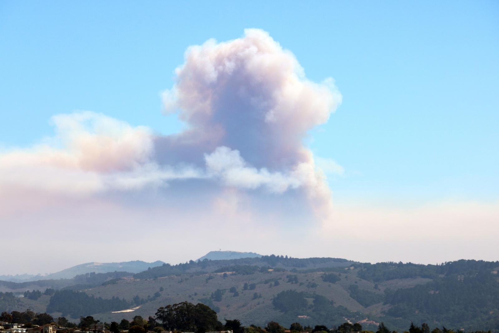 Fire Weather
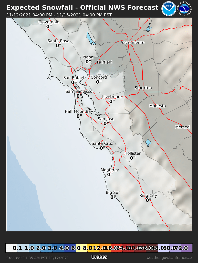 Probabilistic Snowfall Forecasts
 Heat Risk Link