National Weather Service United States Department of Commerce
Click a location below for detailed forecast.

Last Map Update: Sat, Sep 26, 2026 at 12:22:53 pm CDT

There are no watches, warnings, or advisories at this time.

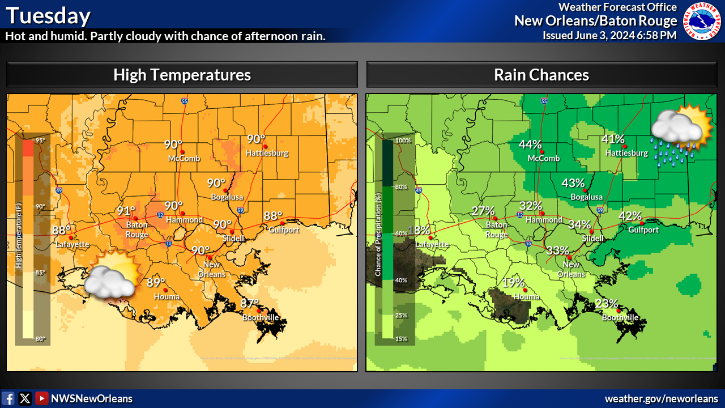
Temperatures will remain above normal through the weekend into early next week. More noticeable will be the lower humidities, and cooler overnight lows. Highs will mainly range from the upper 80s to perhaps a few mid 90s by Tuesday. Overnight lows will range from the mid 60s to lower 70s. The area will likely remain dry through Tuesday with showers and thundertstorms possibly returning Wednesday as moisture returns.
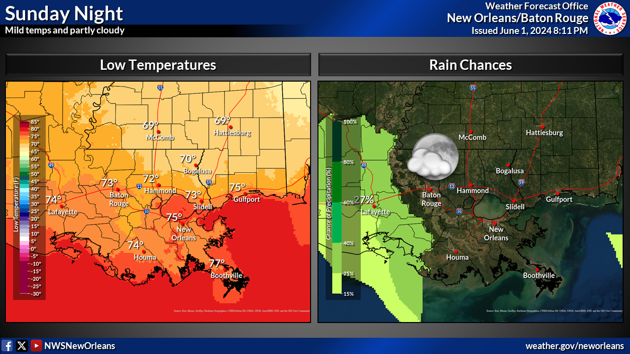
A cold front is looking likely to approach the region, but will it make it here? Details are still uncertain and will be sorted out over the next few days. Regardless, rain chances will be on the rise mid to late next week.


CoCoRaHS
CoCoRaHS - Click for more information
Submit
Storm Report

Submit a Storm Report

River Stages
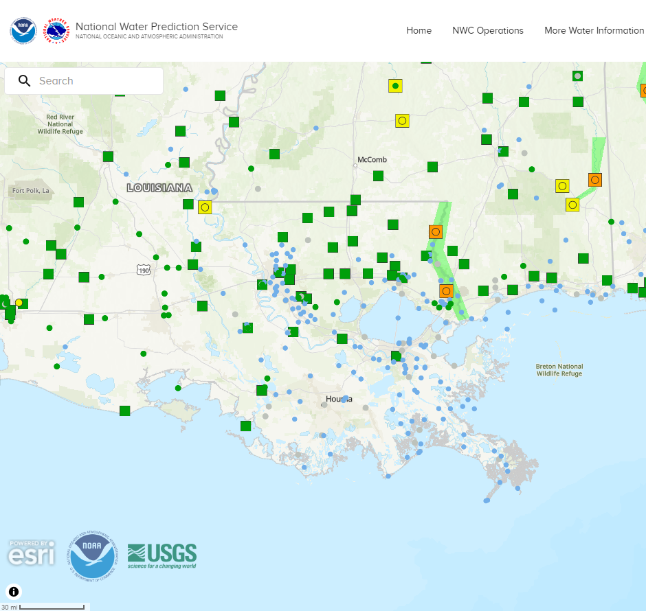
Latest River Stages


Quick Access to Text Products


 Current Weather Observations...
Location Time
(CDT)
Weather Vsby.
(SM)
Temp.
(ºF)
Dewpt.
(ºF)
Hum.
(%)
Wind
(mph)
Wind Chill / Heat Index
(ºF)
Pres.
(in)
Baton Rouge LA11:53Mostly Clear10876243E 8-30.05
Biloxi MS11:55Clear10856347ENE 6-30.01
Gulfport MS11:53Mostly Cloudy10836554-30.04
Hammond LA11:55Partly Cloudy10846757E 5-30.06
Houma LA11:47Partly Cloudy7846858E 6-30.06
McComb MS11:53Mostly Cloudy10826454VRB 3-30.07
New Orleans LA11:53Mostly Cloudy10827066N 8-30.04
Slidell La11:53Partly Cloudy10826658NNW 3-30.04