
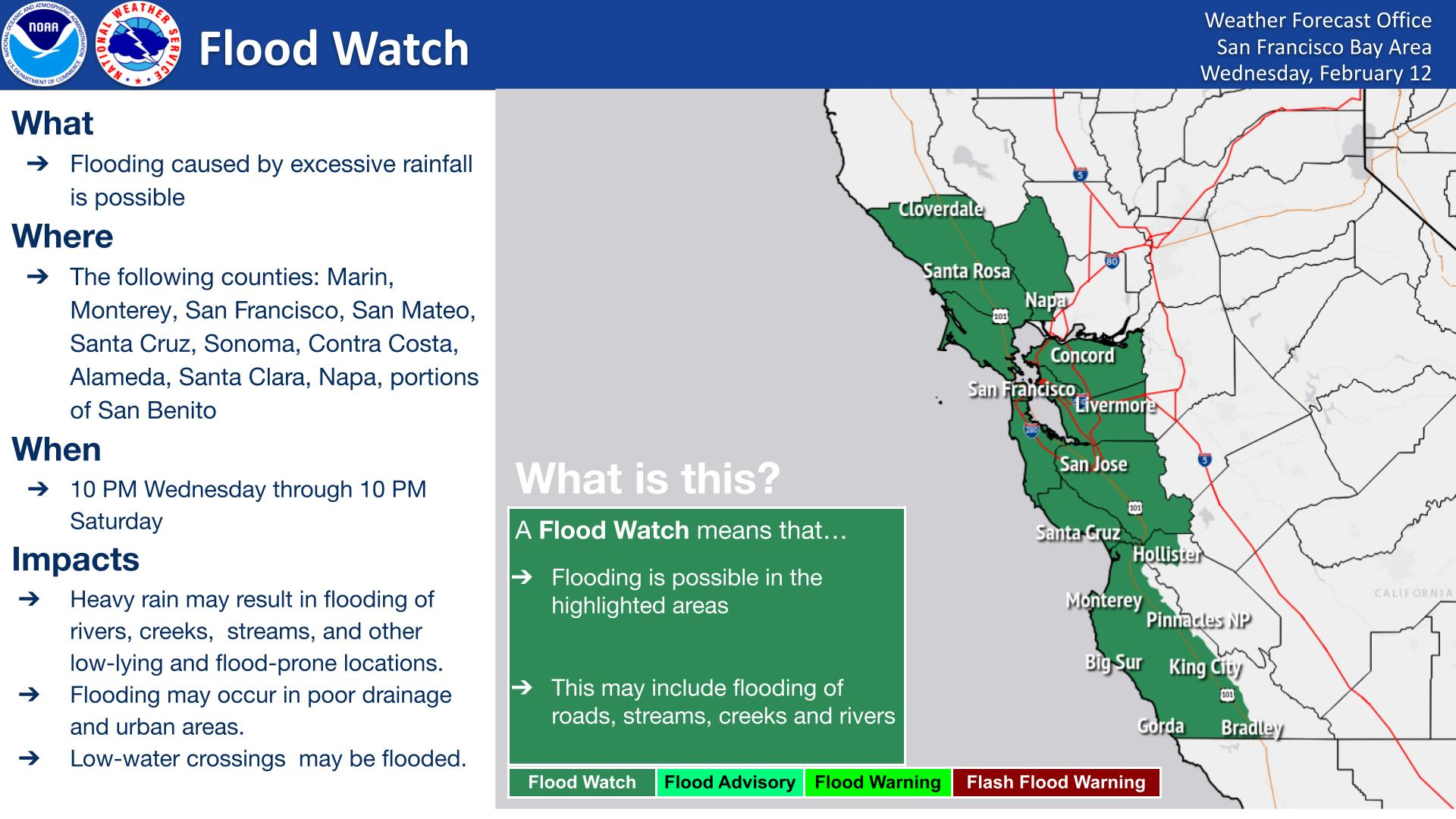
A winter storm will impact the central Appalachians to the Northeast through the night. Accumulating snow is expected for interior New England and the northern Mid-Atlantic. Scattered showers and occasional thunderstorms will persist across Florida and the Southeast coast. Locally heavy mountain snow is expected in the Great Basin and Rockies over the next couple of days. Read More >
Last Map Update: Wed, Dec 3, 2025 at 2:20:45 am PST
|
Text Product Selector (Selected product opens in current window)
|
|


 San Francisco Radar
 Sacramento Radar
 Satellite
 Weather Map
 Local Graphical Forecast
 U.S. Graphical Forecasts
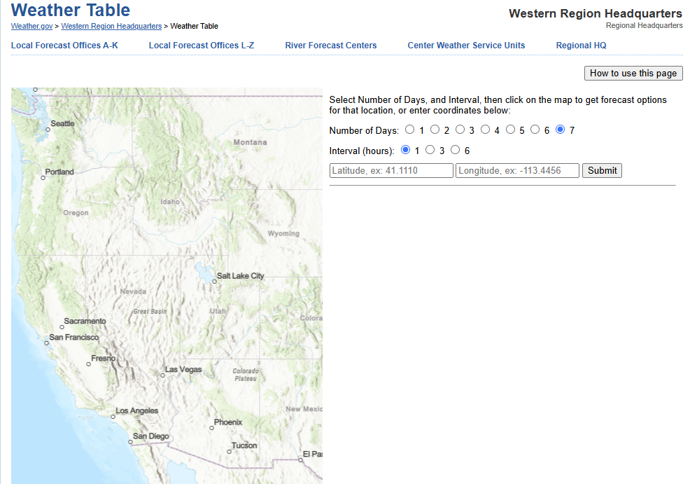 Forecast Weather Tables
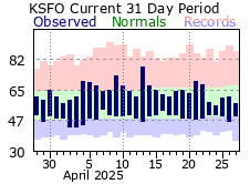 Recent MTR Temperatures
 Fire Weather
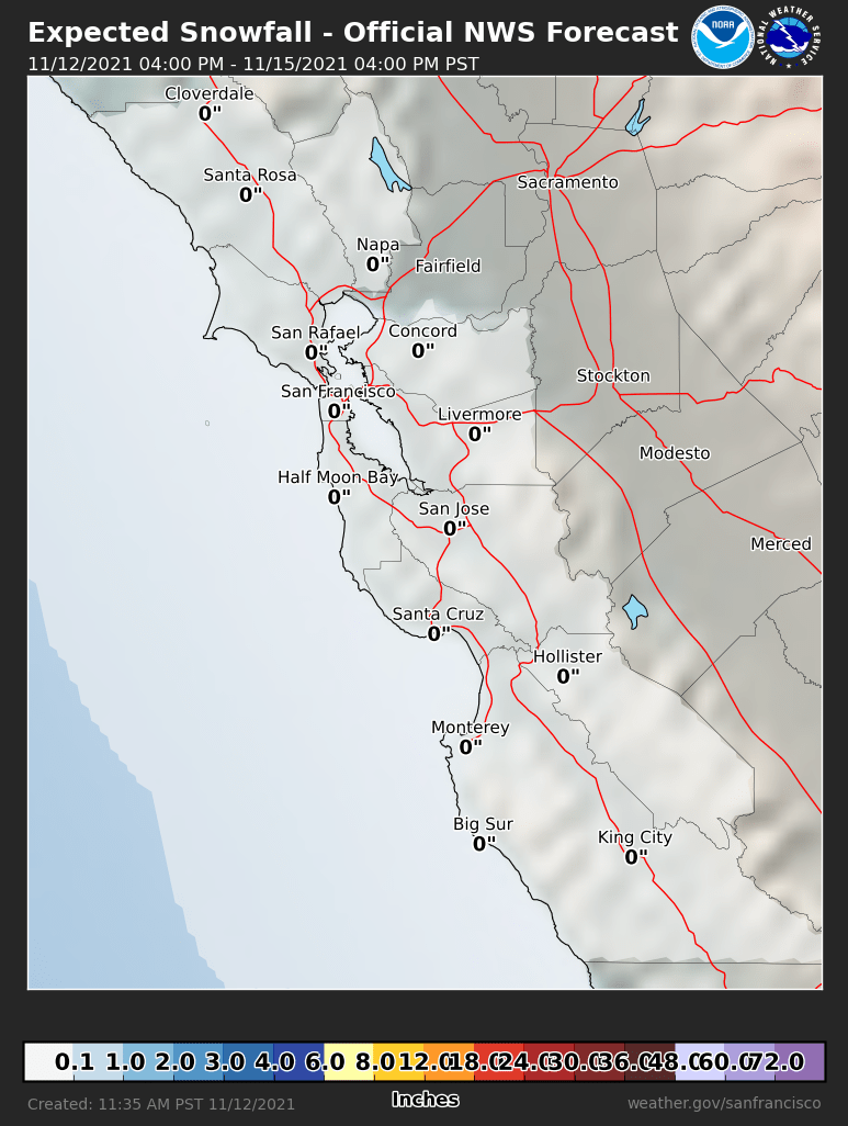 Probabilistic Snowfall Forecasts
 Heat Risk Link