Older TAFs
TAF Impact Board
5-min ASOS Data
Winds Aloft
Hourly Forecast
General Public Forecast
Older TAFs
TAF Impact Board
5-min ASOS Data
Winds Aloft
Hourly Forecast
General Public Forecast
Older TAFs
TAF Impact Board
5-min ASOS Data
Winds Aloft
Hourly Forecast
General Public Forecast
Older TAFs
TAF Impact Board
5-min ASOS Data
Winds Aloft
Hourly Forecast
General Public Forecast
Older TAFs
TAF Impact Board
5-min ASOS Data
Winds Aloft
Hourly Forecast
General Public Forecast
Older TAFs
TAF Impact Board
5-min ASOS Data
Winds Aloft
Hourly Forecast
General Public Forecast
Older TAFs
TAF Impact Board
5-min ASOS Data
Winds Aloft
Hourly Forecast
General Public Forecast
.AVIATION /02Z MONDAY THROUGH FRIDAY/...
Through 00Z Tuesday...Currently MVFR CIGS prevail at all sites
except VFR conditions at PBG. As subsidence on water vapor moves
across our region tonight, expect a slow lowering of CIGS to IFR
with highest confidence at SLK/MPV and RUT. Have used a tempo
group to show transition from MVFR to IFR as cigs may jump up
and down btwn MVFR and IFR for several hours before becoming
prevailing btwn 04-06z. Also, less confidence 30 to 40% of IFR
cigs at EFK/BTV and MSS toward 06z with intervals of IFR
possible btwn 06-12z. Conditions slowly improve to MVFR by 14z
and mostly VFR by 16z on Monday. South/southeast winds of 10 to
20 knots will become southwest 4 to 8 knots by 06z, before
shifting to the west/northwest by morning. Some scattered
showers are likely from time to time overnight into early Monday
morning, which was covered by VCSH. Some lowering of sfc vis
possible toward morning also, especially at SLK/MPV.

Outlook...

Monday Night: VFR. Patchy BR.
Tuesday: VFR. NO SIG WX.
Tuesday Night: VFR. Chance SHRA.
Wednesday: Mainly VFR, with local MVFR possible. Definite SHRA,
Slight chance TSRA.
Wednesday Night: Mainly MVFR, with areas VFR possible. Slight
chance SHRA.
Thursday: Mainly MVFR, with areas VFR possible. Likely SHRA.
Thursday Night: Mainly MVFR, with areas IFR possible. Likely
SHRA.
Friday: Mainly MVFR, with areas IFR possible. Likely SHRA.
Click on Radar and Satellite images below for a loop.
|
Radar Loop
|
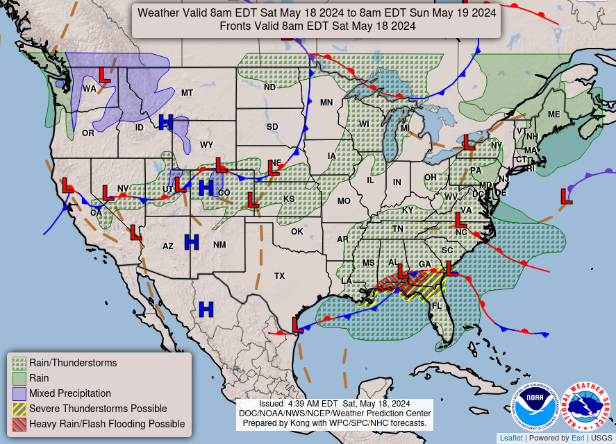
Current Weather Map
|
|
Visible Satellite Loop
|
Infrared Satellite Loop
|
|
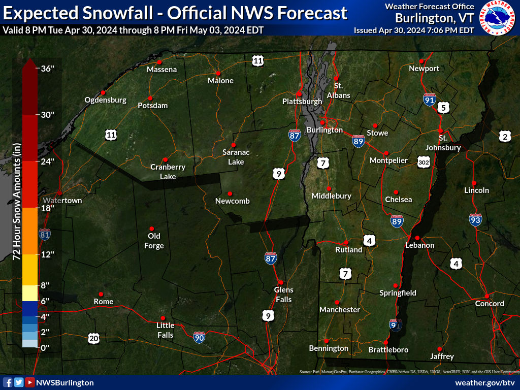
Expected Snowfall
|
Expected Ice Accumulation
|
Click on images below to enlarge.
|
Radar Loop
|
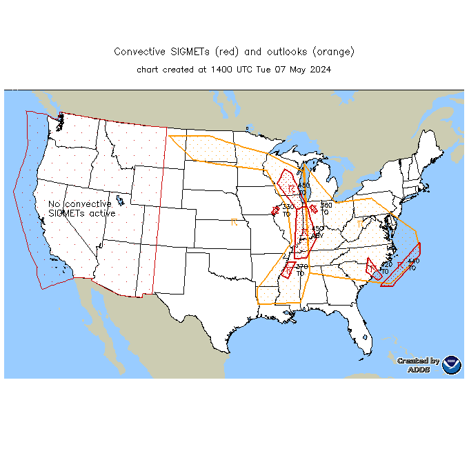
Convective SIGMETs
|
TFM Convective Forecast (TCF)
|
|
SPC Day 1 Convective Outlook
|
SPC Day 2 Convective Outlook
|
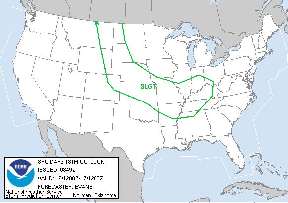
SPC Day 3 Convective Outlook
|
|
Current Icing SIGMETs
|
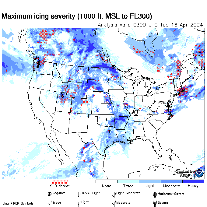
CIP/FIP Icing Guidance
|
|
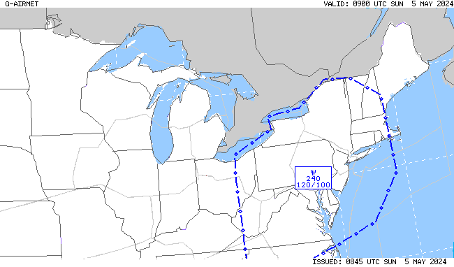
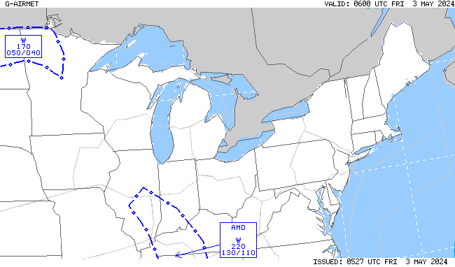
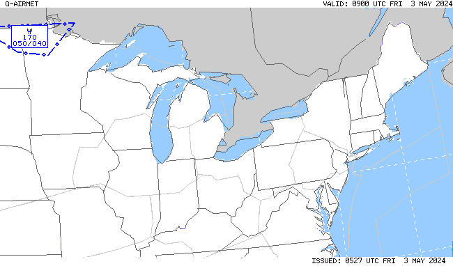
00-03 hr Icing AIRMETs
|
03-06 hr Icing AIRMETs
|
|
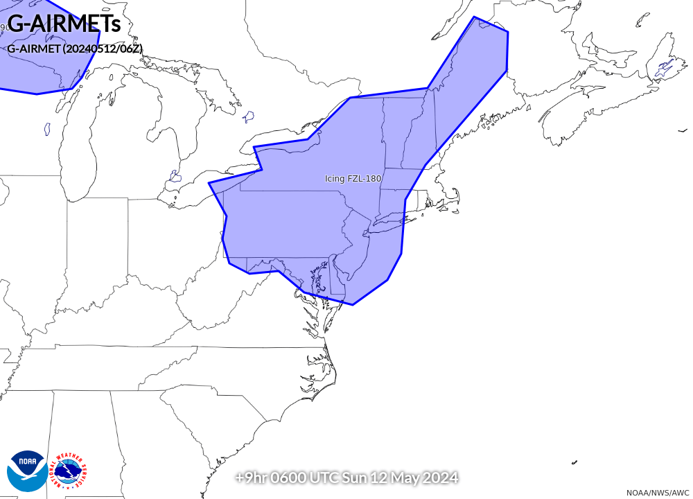
06-09 hr Icing AIRMETs
|
09-12 hr Icing AIRMETs
|
|
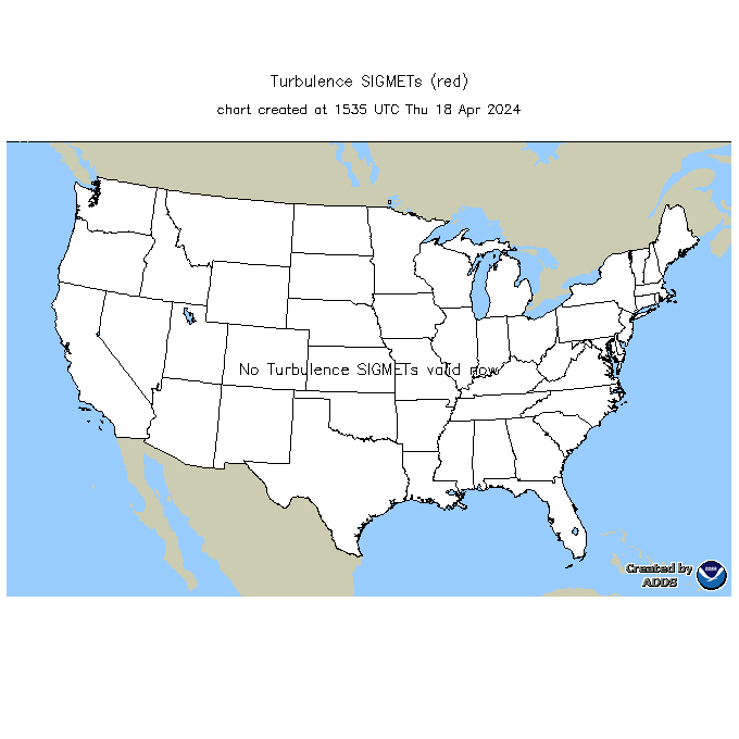
Current Turb SIGMETs
|
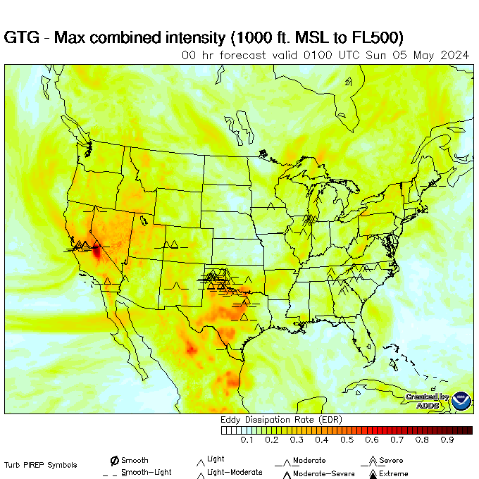
Turbulence Guidance (GTG)
|
|
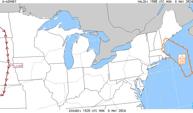
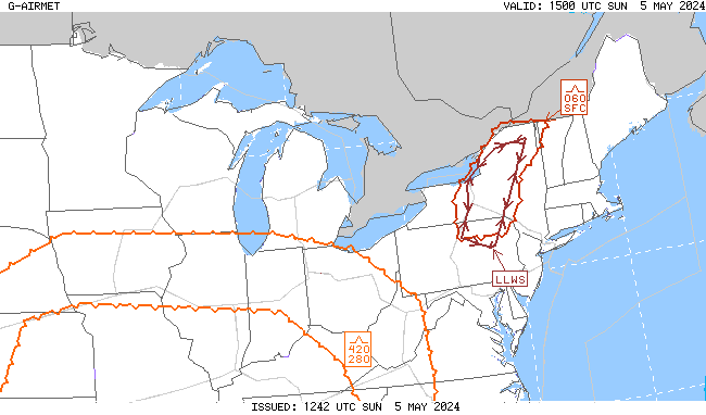
00-03 hr Turb/LLWS AIRMETs
|
03-06 hr Turb/LLWS AIRMETs
|
|
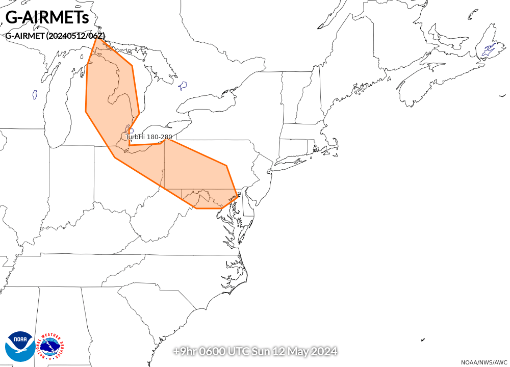
06-09 hr Turb/LLWS AIRMETs
|
09-12 hr Turb/LLWS AIRMETs
|
|
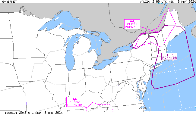
00-03 hr Visibility AIRMETs
|
03-06 hr Visibility AIRMETs
|
|
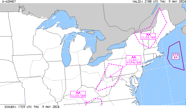
06-09 hr Visibility AIRMETs
|
09-12 hr Visibility AIRMETs
|


 Follow us on YouTube