Older TAFs
TAF Impact Board
5-min ASOS Data
Winds Aloft
Hourly Forecast
General Public Forecast
Older TAFs
TAF Impact Board
5-min ASOS Data
Winds Aloft
Hourly Forecast
General Public Forecast
Older TAFs
TAF Impact Board
5-min ASOS Data
Winds Aloft
Hourly Forecast
General Public Forecast
Older TAFs
TAF Impact Board
5-min ASOS Data
Winds Aloft
Hourly Forecast
General Public Forecast
Older TAFs
TAF Impact Board
5-min ASOS Data
Winds Aloft
Hourly Forecast
General Public Forecast
Older TAFs
TAF Impact Board
5-min ASOS Data
Winds Aloft
Hourly Forecast
General Public Forecast
Older TAFs
TAF Impact Board
5-min ASOS Data
Winds Aloft
Hourly Forecast
General Public Forecast
.AVIATION /18Z THURSDAY THROUGH TUESDAY/...
Through 18Z Friday...Primary aviation weather concern is the
gusty line of showers and embedded thunderstorms traveling
southward along a cold front this afternoon. Surface wind gusts
to 46kts were observed at PBG and 41kts at BTV just after 17Z.
Anticipate additional gusts near 40kt possible at KSLK/KMPV and
KRUT through 19Z before the line of showers and thunderstorms
pushes south of our region. Brief MVFR conditions possible, but
main hazard will be the thunderstorm wind gusts. Post-frontal
winds will remain N-NW at moderate speeds, but skies should
trend FEW-SCT050-100 with VFR conditions expected thru the
balance of the TAF period once the storms pass. Skies become
clear late tonight thru Friday.

Outlook...

Friday Night: VFR. Chance SHRA.
Saturday: VFR. Definite SHRA, Chance TSRA.
Saturday Night: Mainly MVFR, with local IFR possible. Definite
SHRA, Chance TSRA.
Sunday: Mainly VFR, with local IFR possible. Slight chance SHRA.
Sunday Night: VFR. NO SIG WX.
Monday: VFR. NO SIG WX.
Monday Night: VFR. Chance SHRA.
Tuesday: Mainly MVFR, with areas VFR possible. Likely SHRA,
Slight chance TSRA.
Click on Radar and Satellite images below for a loop.
|
Radar Loop
|
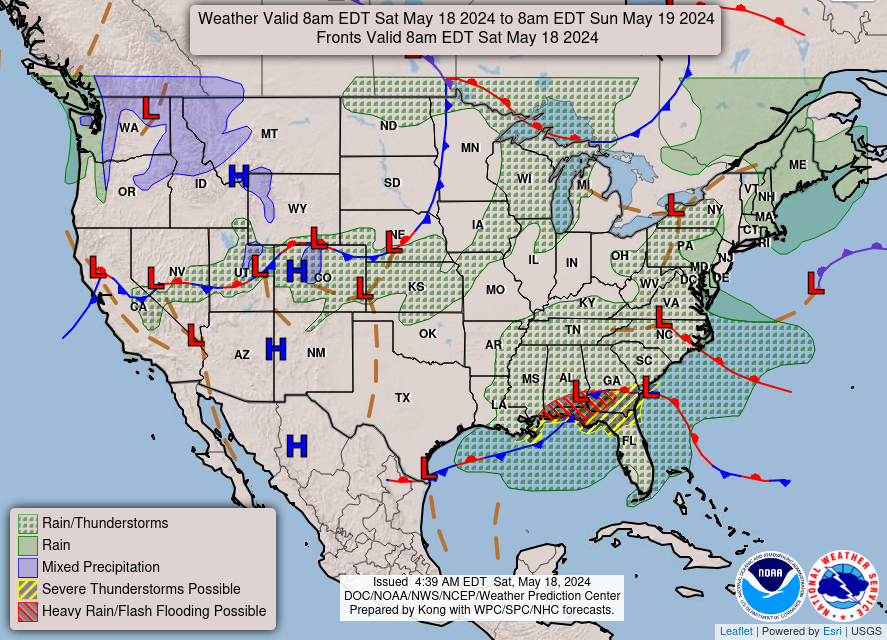
Current Weather Map
|
|
Visible Satellite Loop
|
Infrared Satellite Loop
|
|
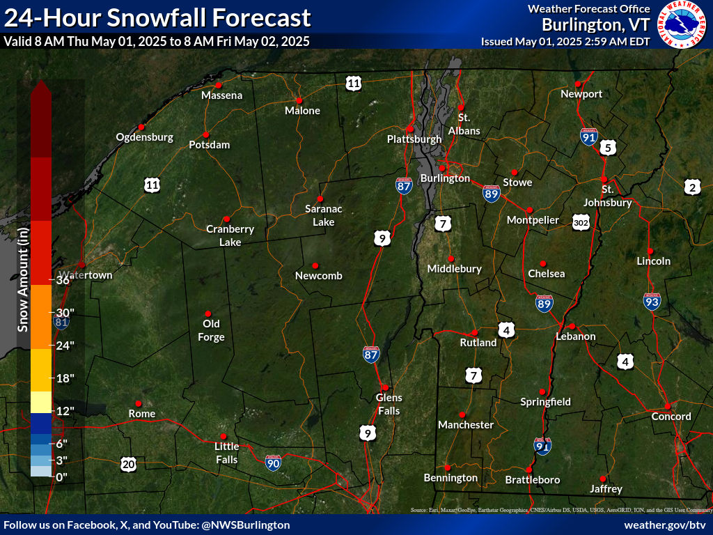
Expected 24-hr Snowfall
|
Expected 24-hr Ice Accumulation
|
Click on images below to enlarge.
|
Radar Loop
|
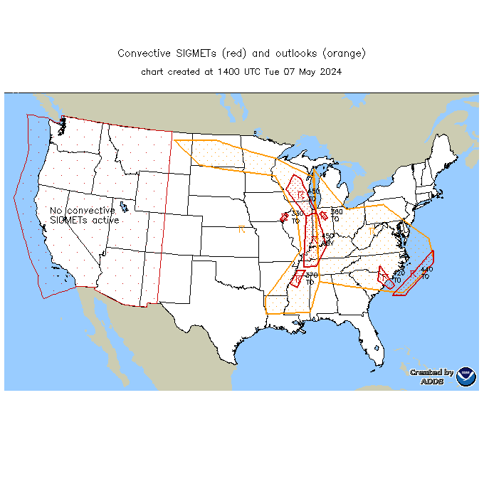
Convective SIGMETs
|
TFM Convective Forecast (TCF)
|
|
SPC Day 1 Convective Outlook
|
SPC Day 2 Convective Outlook
|
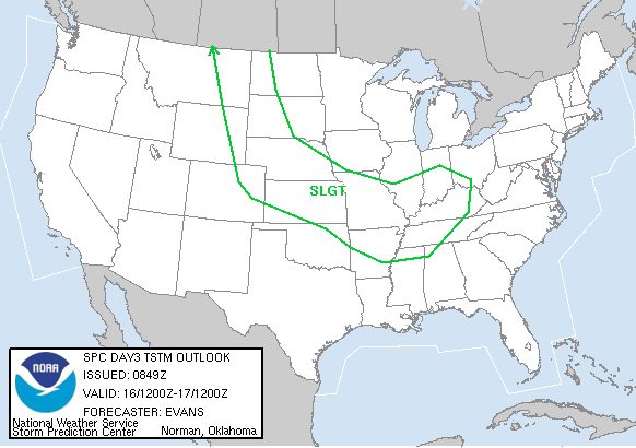
SPC Day 3 Convective Outlook
|
|
Current Icing SIGMETs
|
CIP/FIP Icing Guidance
|
|
00-03 hr Icing AIRMETs
|
03-06 hr Icing AIRMETs
|
|
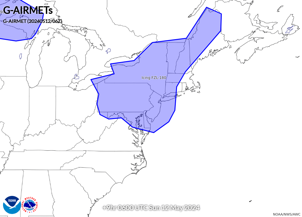
06-09 hr Icing AIRMETs
|
09-12 hr Icing AIRMETs
|
|
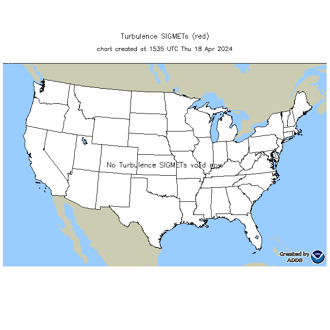
Current Turb SIGMETs
|
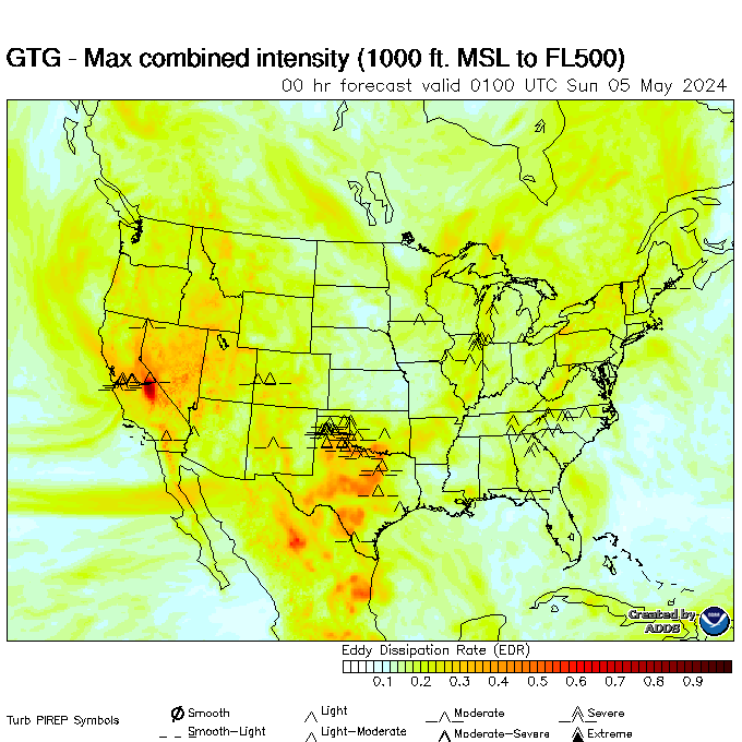
Turbulence Guidance (GTG)
|
|
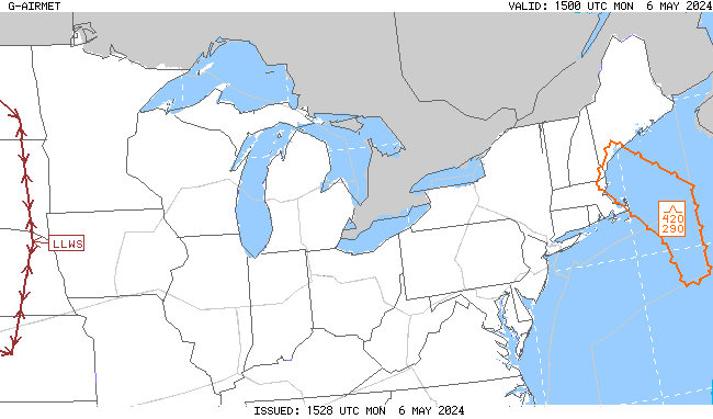
00-03 hr Turb/LLWS AIRMETs
|
03-06 hr Turb/LLWS AIRMETs
|
|
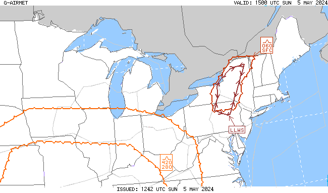
06-09 hr Turb/LLWS AIRMETs
|
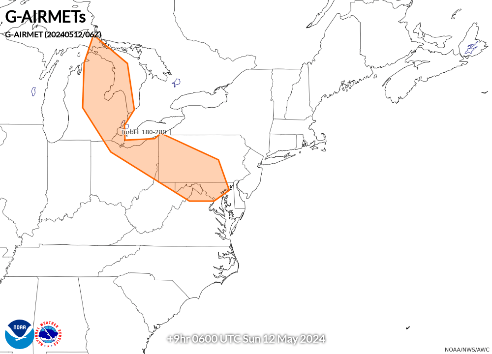
09-12 hr Turb/LLWS AIRMETs
|
|
00-03 hr Visibility AIRMETs
|
03-06 hr Visibility AIRMETs
|
|
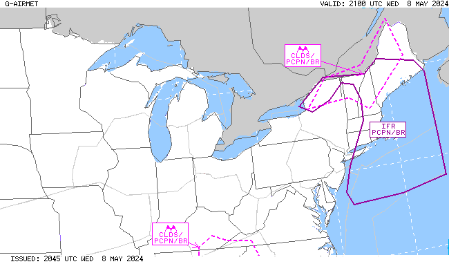
06-09 hr Visibility AIRMETs
|
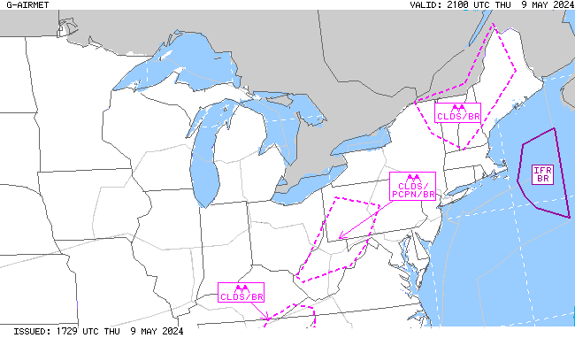
09-12 hr Visibility AIRMETs
|